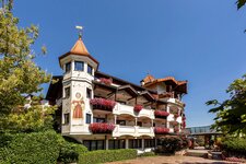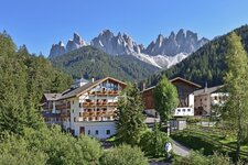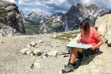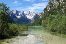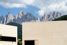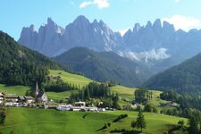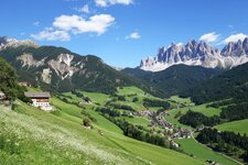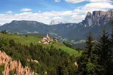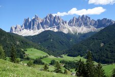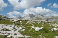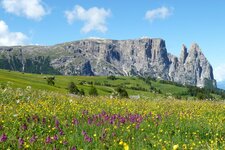
Starting at the beautiful Val di Funes, this walk takes us uphill to the impressive peaks of the Odle (Geislerspitzen)
Image gallery: Hike through the Puez-Odle Nature Park
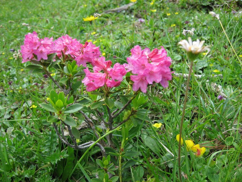
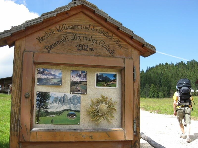
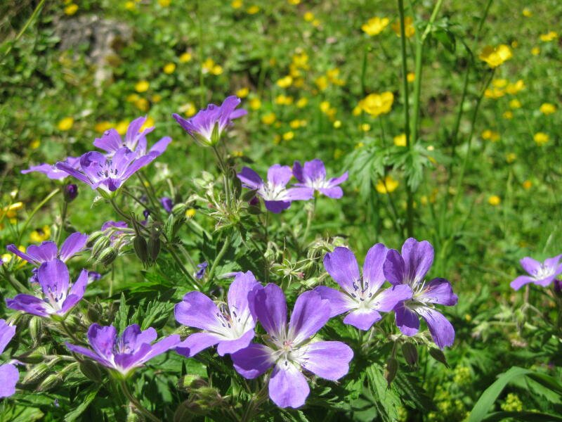
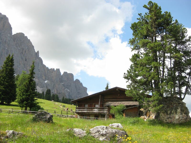
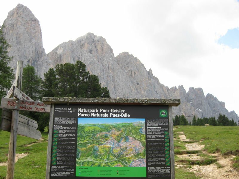
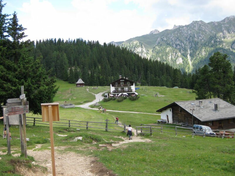
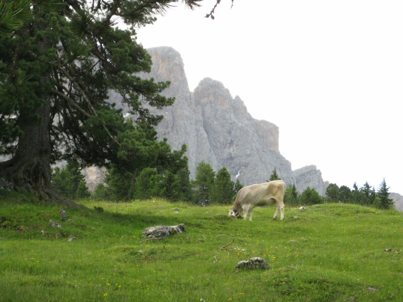

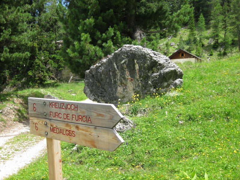
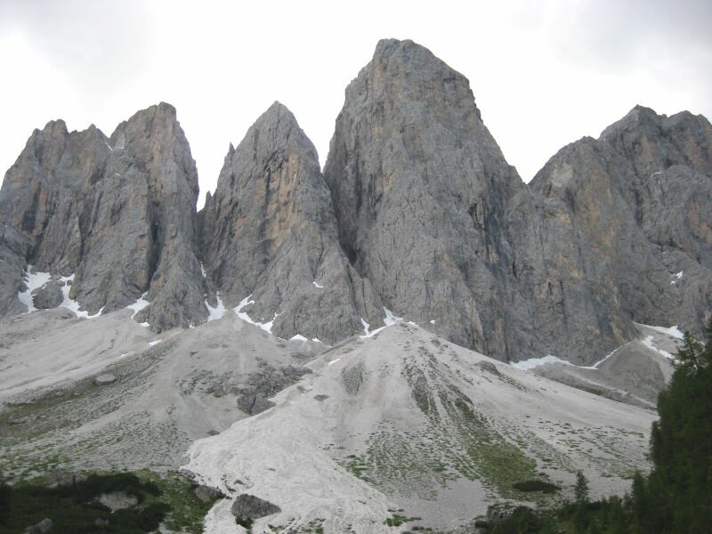
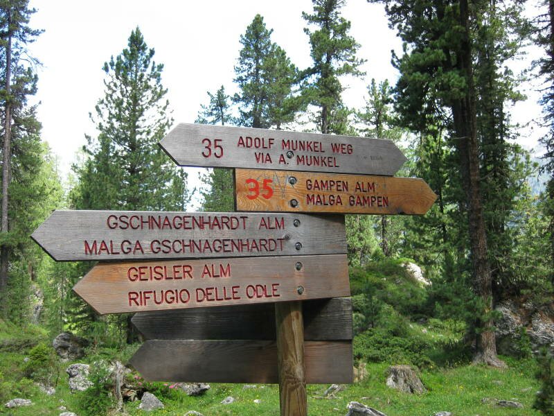
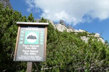
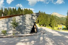
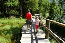
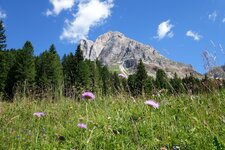
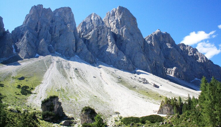
Well equipped with a backpack to carry our baby (1 year old) and a second one for our supplies we start our walking tour at the parking space of the Malga Zannes (Zanser Alm). The path no. 6 leads us quite steeply uphill to the Malga Glatsch (1,902 m a.s.l.). Past this alpine hut it carries on flatter and we turn left to the nature park Puez-Geisler. A big variety of alpine flowers, e.g. alpine roses and mountain arnicas grow here. After a short while and without too big effort we find ourselves directly below the gorgeous peaks of the Odle which are also part of the World Heritage site of the Dolomites. Now it's really time to take a photo!
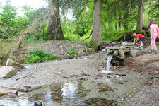
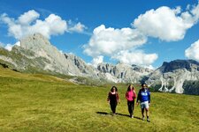
At the border of the alpine meadow the scree transition into the almost upright cliffs of the Odle. The path winds flat past along the mountains, crosses the creek and leads us up to the Malga Ciancenon (Tschantschenon Alm) which is only few hundred meters away. The alpine meadows next to the small creek is perfect to have a picnic. After this cosy refreshment and rest we start our way back. We cross again the creek but then we take the wide path down to the parking space at the Malga Zannes. Our son is sleeping peacefully in his backpack. Fresh air does good!
For those who would like to walk a longer distance there is also a possibility: don't cross the creek but walk in the opposite direction. There the path no. 35 (Adolf-Munkel-Weg) starts, carries on to the Malga Gschnagenhardt mountain hut and further to the Malga Brogles mountain hut (2,045 m a.s.l.). Then the path no. 28 leads you back to the parking space of the Malga Zannes. Please park only on the marked parking space at the Malga Zannes and not along the road! The parking charge is put into the conservation of the nature park and the hiking trails. And - if you have a picnic - please carry back your waste again. Nature will thank you!
Suitable for families? Yes. With a backpack to carry the youngest. Not suitable for buggies.
Author: MS
-
- Starting point:
- parking space Malga Zannes, Val di Funes valley
-
- Overall time:
- 02:15 h
-
- Total route length:
- 6,5 km
-
- Altitude:
- from 1.673 m to 1.943 m
-
- Altitude difference (uphill | downhill):
- +331 m | -331 m
-
- Signposts:
- 6
-
- Resting points:
- Glatsch Alm / Malga Glatsch (from mid-May to mid-October)
-
- Recommended time of year:
- Jan Feb Mar Apr May Jun Jul Aug Sep Oct Nov Dec
-
- Download GPX track:
- Hike through the Puez-Odle Nature Park
If you want to undertake this hike, we recommend checking the weather and trail conditions in advance and on site before starting this hike!