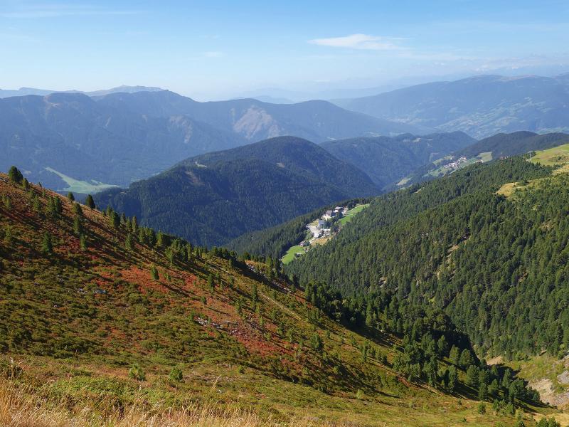
This circular tour crosses three peaks of the Plose and provides an excellent view of the surrounding area
Image gallery: Round tour to the Monte Forca Grande
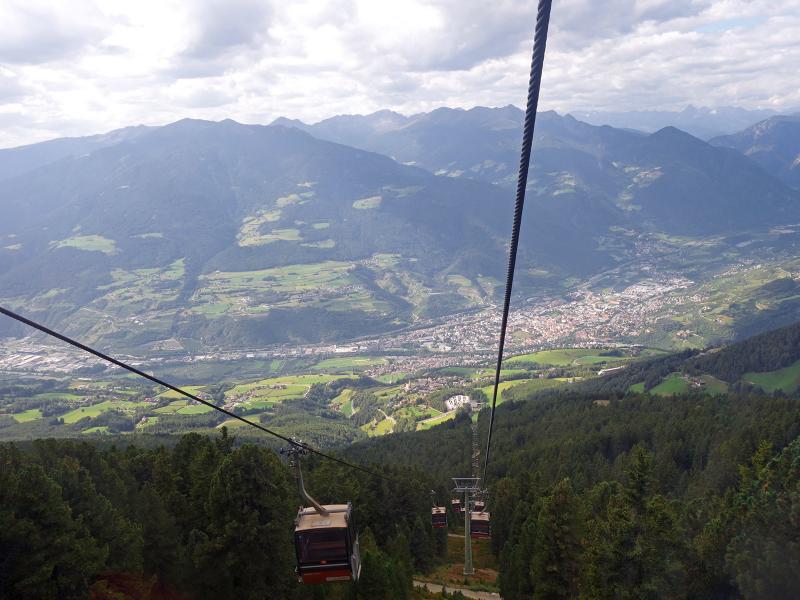
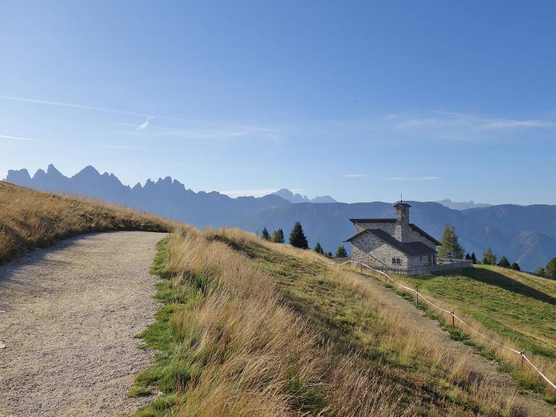
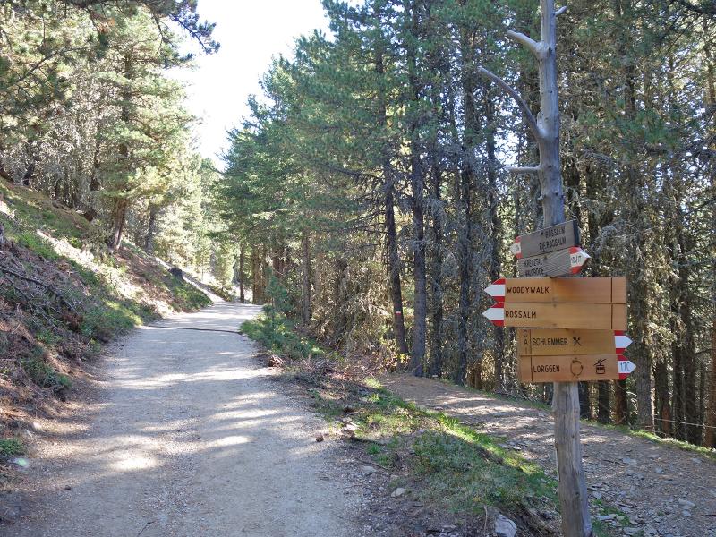
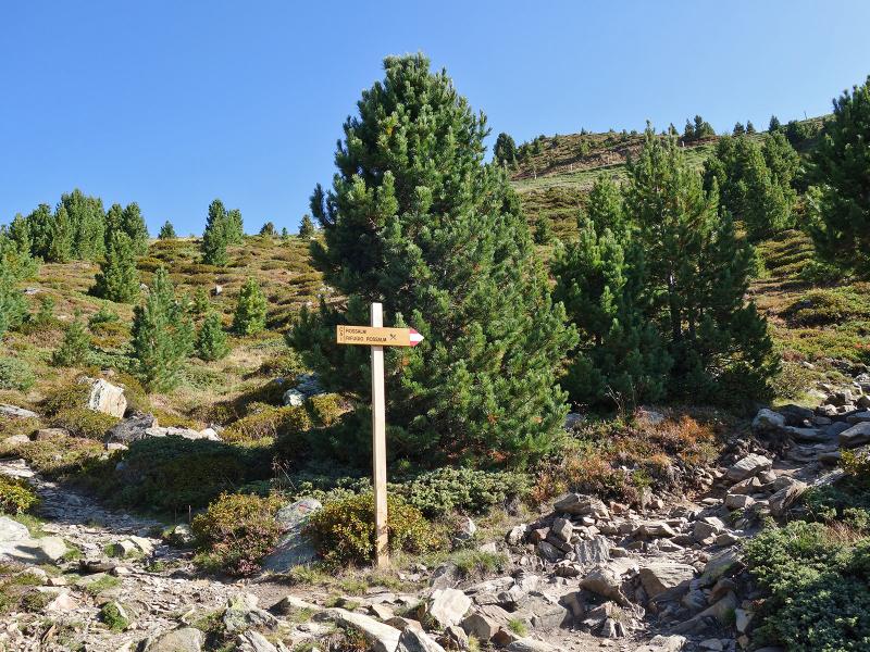
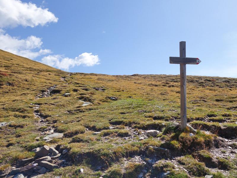
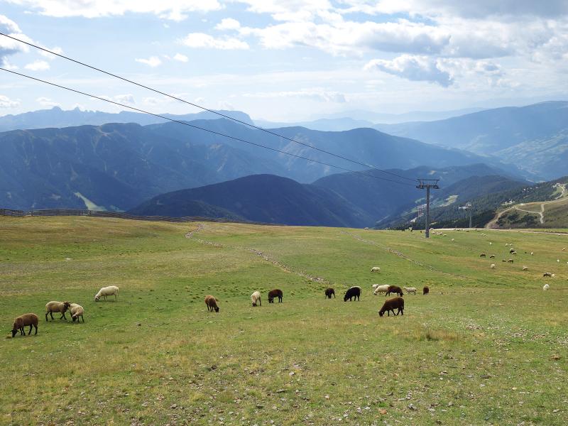

Easy and moderate paths are on our agenda this September day. We take the cable car from Sant'Andrea near Bressanone up to the Plose. The first section of the trail runs gently along the WoodyWalk, a panoramic path at the tree line designed specifically for families. We then follow the signpost to the Rossalm. This mountain hut serves South Tyrolean cuisine and provides diners with a wonderful view over the roofs of Bressanone. Next, we choose the Dolomites Panoramic Trail.
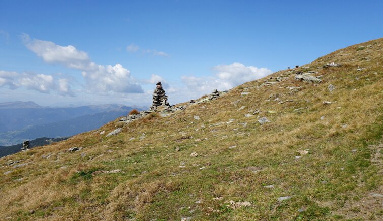
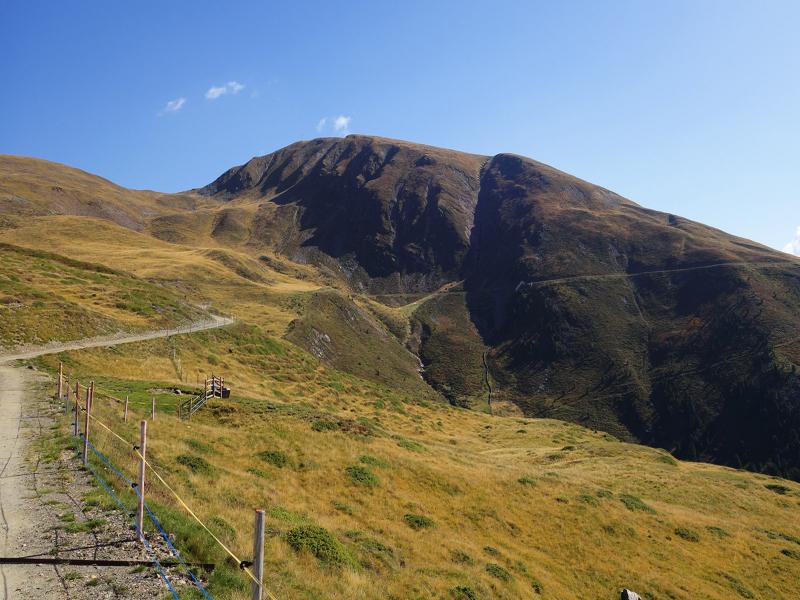
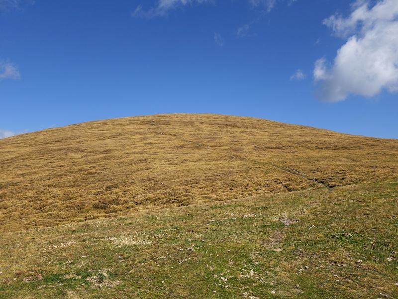
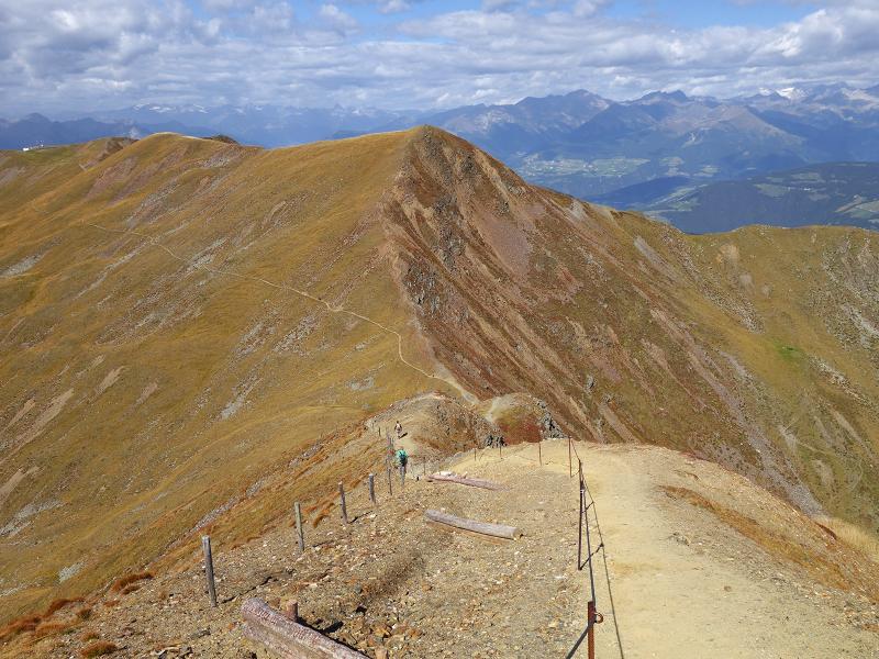
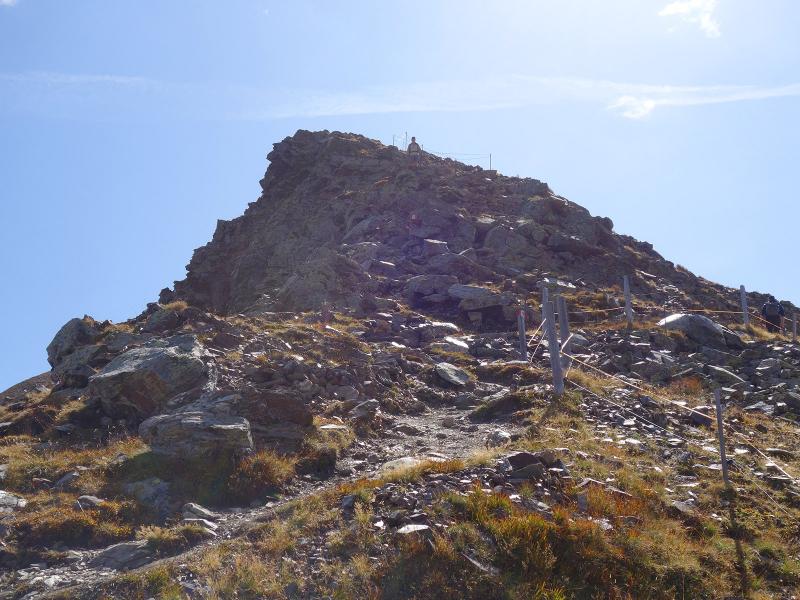
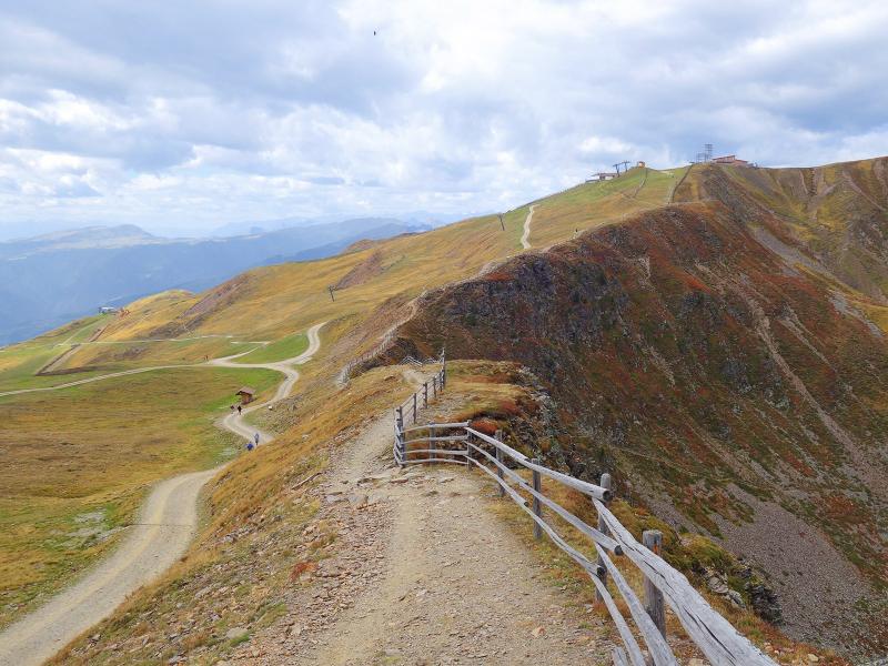
It ascends gently through the heathland towards the east. After a loop at the foot of Monte Forca Grande (Grosser Gabler), we reach the junction at Guflanegg. Here we take the path that leads directly up to Monte Forca Grande. Together with the Monte Fana (Pfannspitz), it is one of the two well-known peaks on the Plose. Step by step, we climb the grass-covered mountain peak.
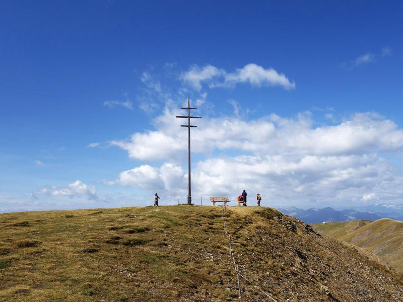
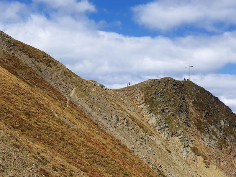
The summit cross stands at an altitude of 2,575 metres, where the view of the surrounding area opens up. Now follows a short, steep descent on path no. 7 down to the Forcella Forca ridge. From there, the panoramic trail leads over to the Monte Fana, the second peak on our route.
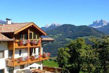
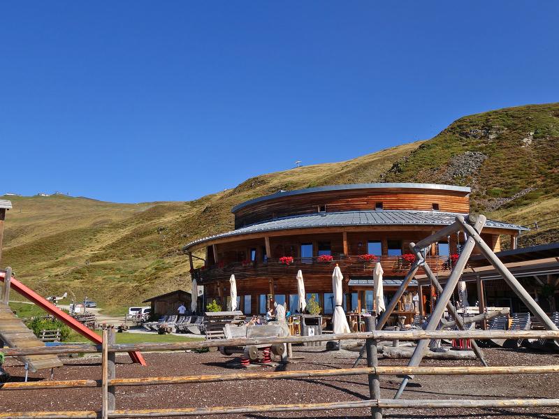
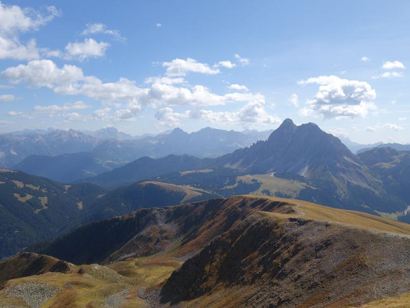
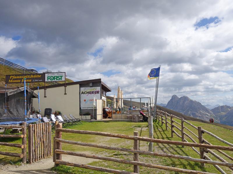
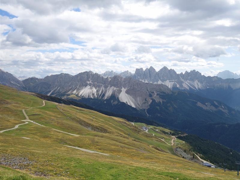
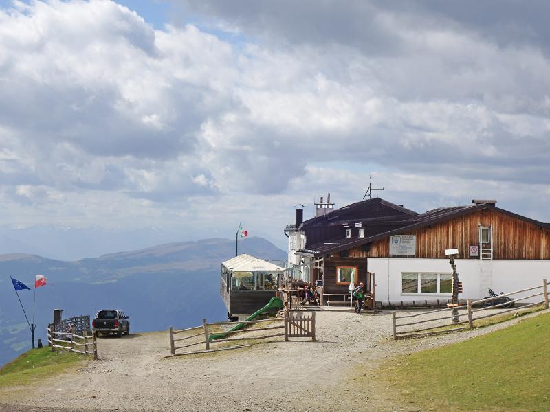
Only the Monte Telegrafo, or Telegraph, remains. We take our lunch break at the Monte Fana Hut situated below. Afterwards, we continue along the ridge to the Plose Hut at the Monte Telegrafo. The view of the Dolomites with the Odle and the massive Sasso Putia is particularly impressive.
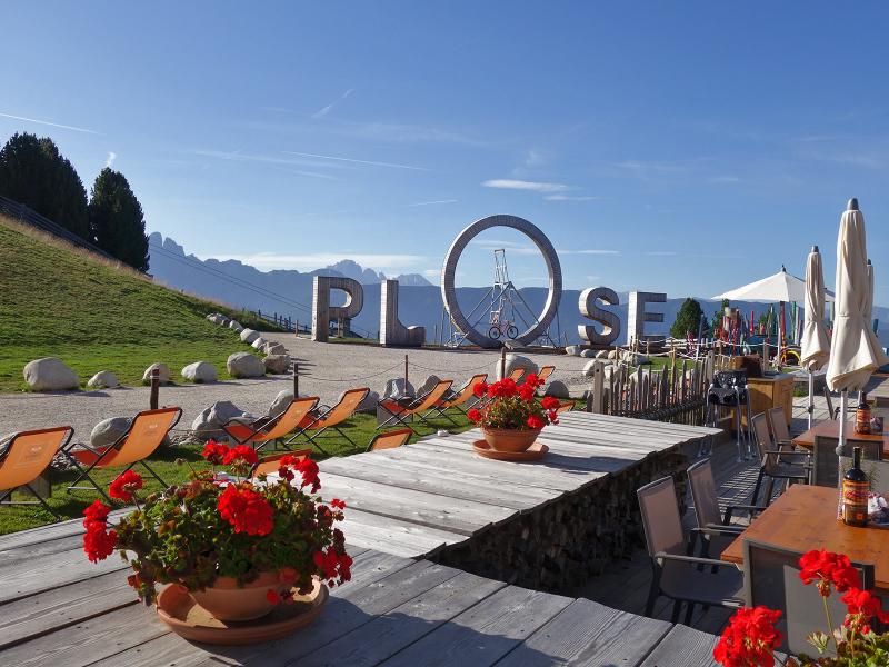
The descent to the Plose mountain station follows one of the paths starting right by the Plose Hut. We choose the route via the Valcroce (Kreuztal). Incidentally, another themed trail is located near the previously mentioned Monte Fana: the Lorggen Circular Trail.
Author: AT
Experienced: September 2019
Last updated: 2026
-
- Starting point:
- mountain station of the Plose Cable Car above Bressanone (2,020 m a.s.l.)
-
- Overall time:
- 04:00 h
-
- Total route length:
- 11,3 km
-
- Altitude:
- from 2.020 m to 2.575 m
-
- Altitude difference (uphill | downhill):
- +648 m | -648 m
-
- Route:
- Plose mountain station - WoodyWalk - Rossalm Hut - Dolomites Panoramic Trail - Monte Forca Grande - Forcella Forca ridge - Monte Fana - Plose Hut at the Monte Telegrafo - Valcroce - Plose mountain station
-
- Signposts:
- "WoodyWalk", "Rossalm", no. 17A, "Dolomiten-Panoramaweg", "Gablersteig" (no. 7), "Valcroce"
-
- Destination:
- summit of the Monte Gabler (2,575 m a.s.l.)
-
- Resting points:
- La Finestra Plose restaurant (May to October), Rossalm Hut, Monte Fana Hut (both from May to November), Plose Hut (June to October)
-
- Recommended time of year:
- Jan Feb Mar Apr May Jun Jul Aug Sep Oct Nov Dec
-
- Download GPX track:
- Round tour to the Monte Forca Grande
-
- More information:
- The overall time shown above refers to the walking time only, not including breaks or stops.
If you want to undertake this hike, we recommend checking the weather and trail conditions in advance and on site before starting this hike!