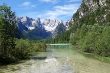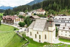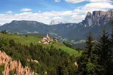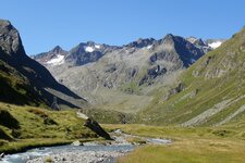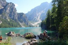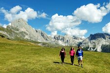
A beautiful route in the Stubai Alps leads to the seven alpine lakes in the inner Val Ridanna
Image gallery: Seven Lakes Tour in Ridanna
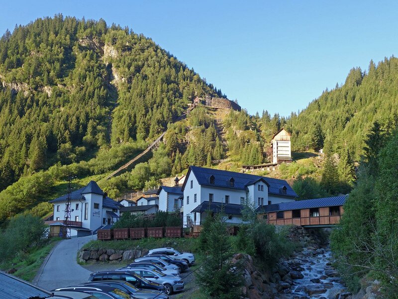
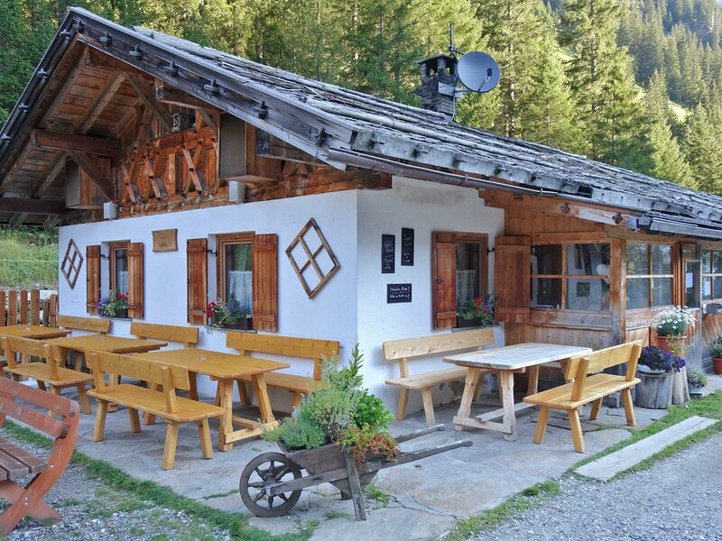
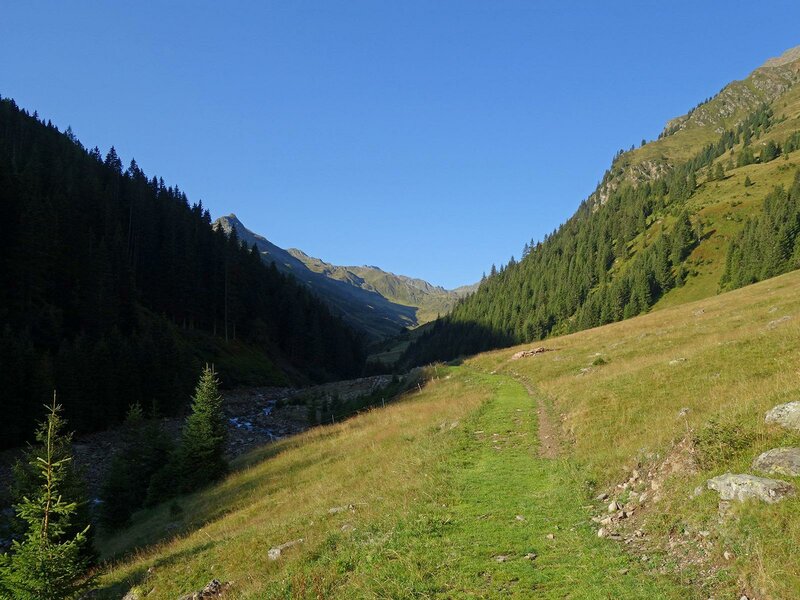
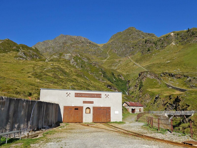
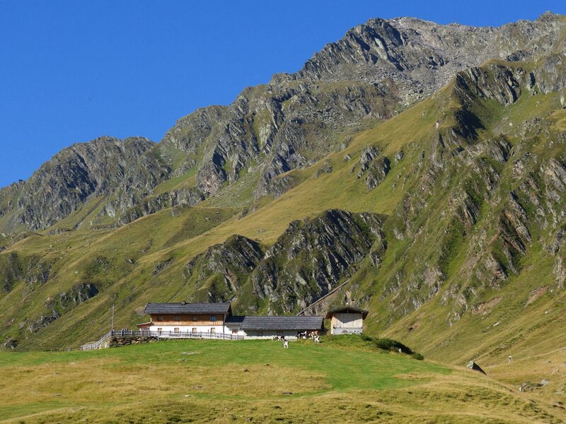
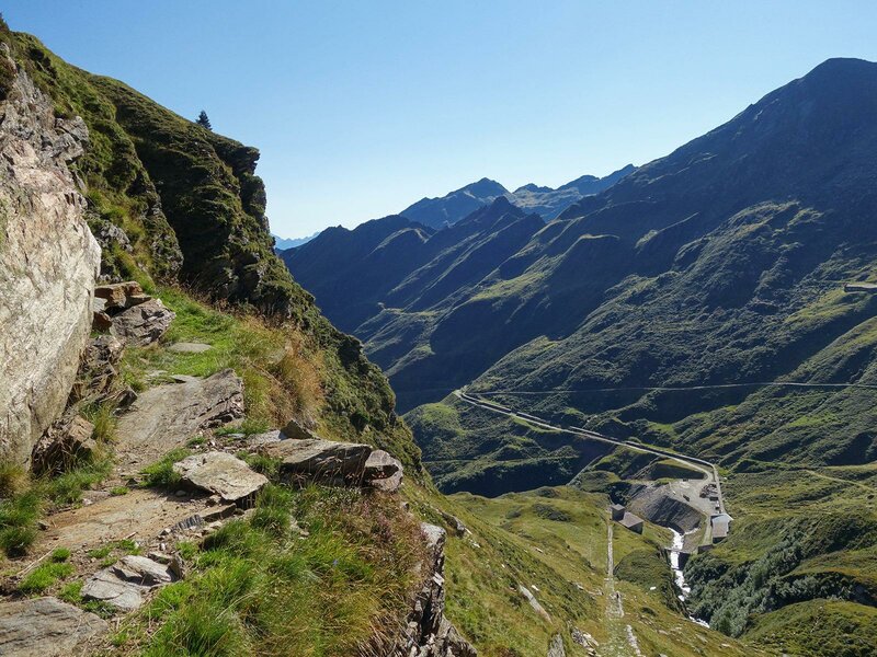
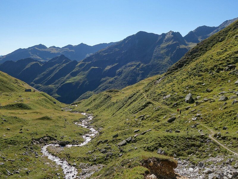
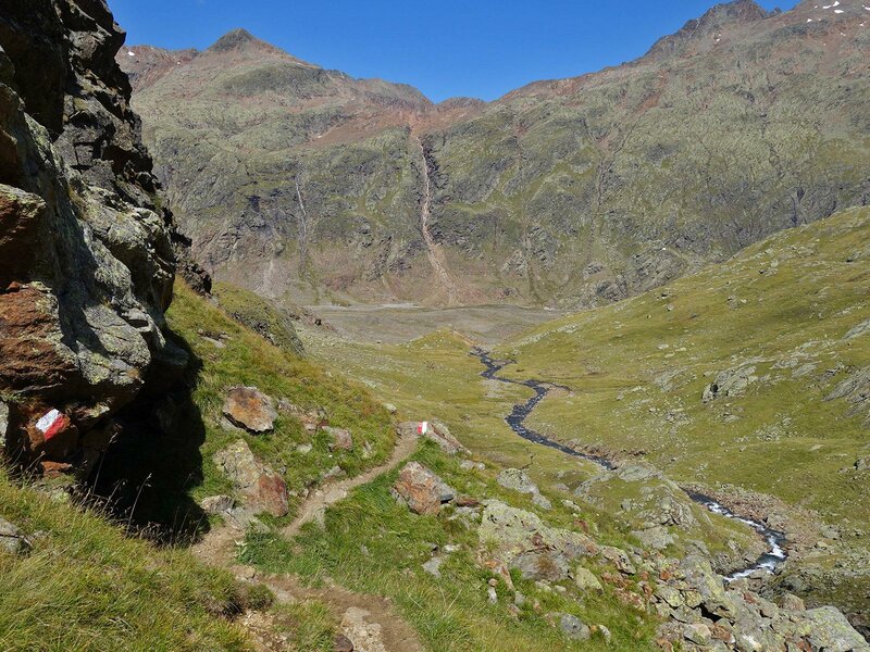
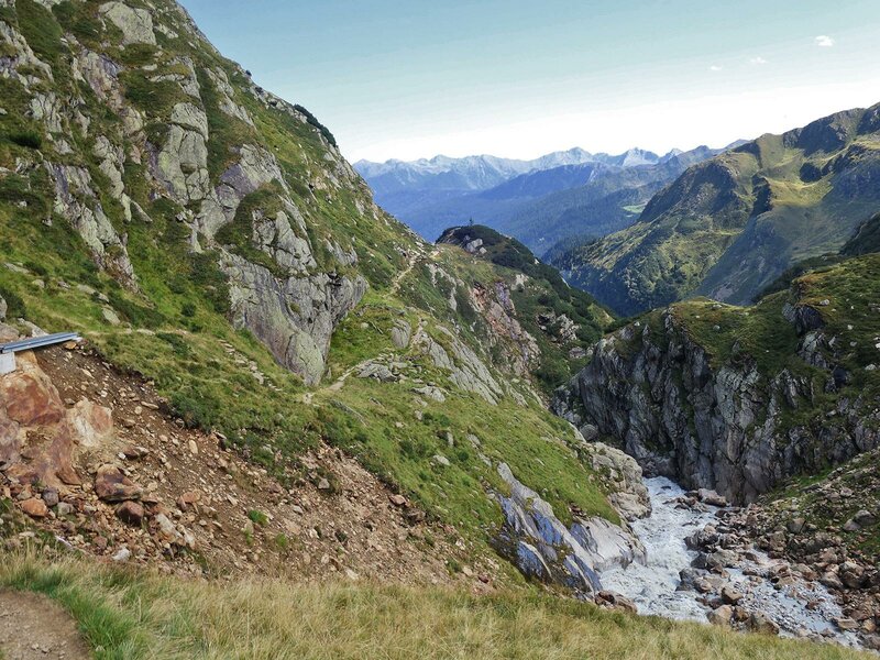
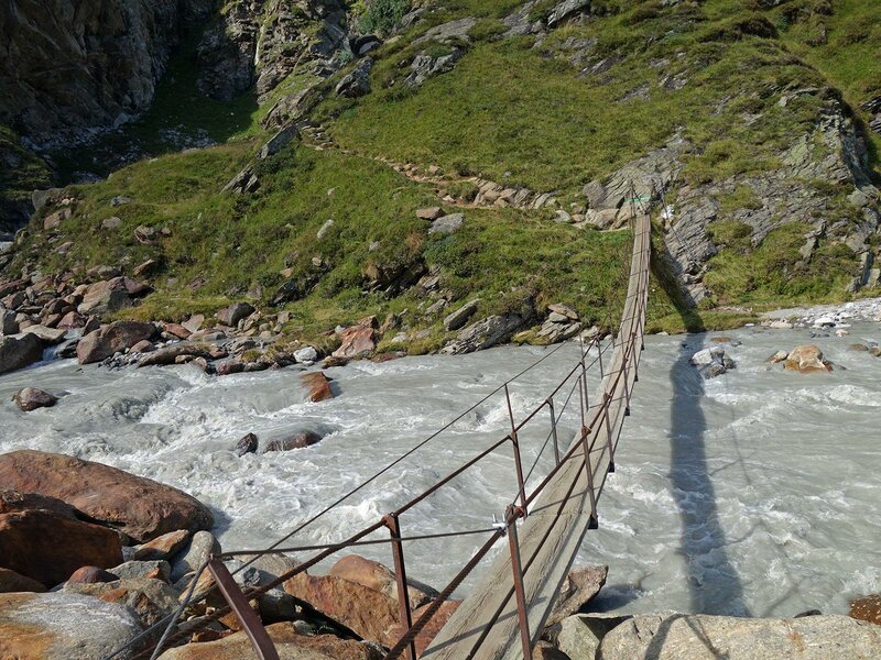
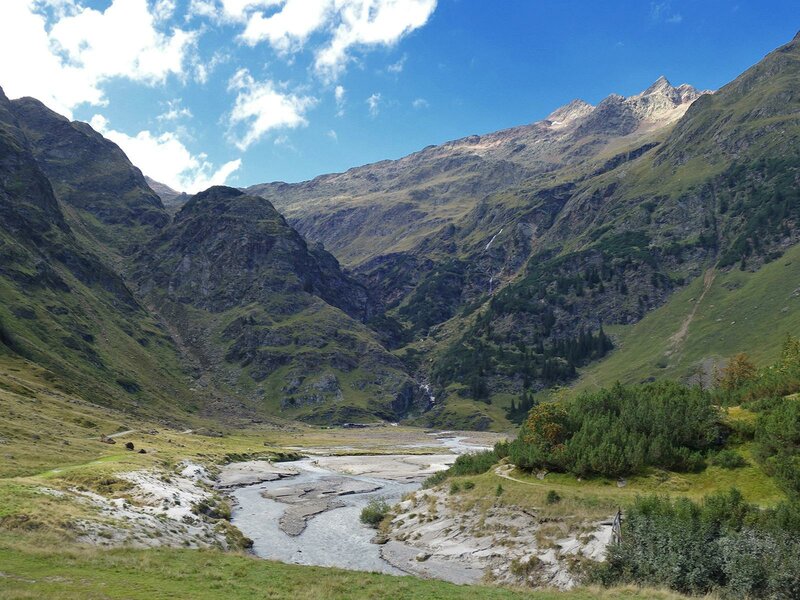
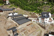
The Ridanna Mining World in Masseria is the starting point of our full-day hike. We follow trail no. 28, which leads us into the Valle di Lazzago valley. The forest road on the western side of the valley takes us to the Stadlalm Hut. Soon after, high alpine meadows replace the forest. We cross a bridge and walk up to the Poschhaus of the former Monteneve Mine at the head of the valley.
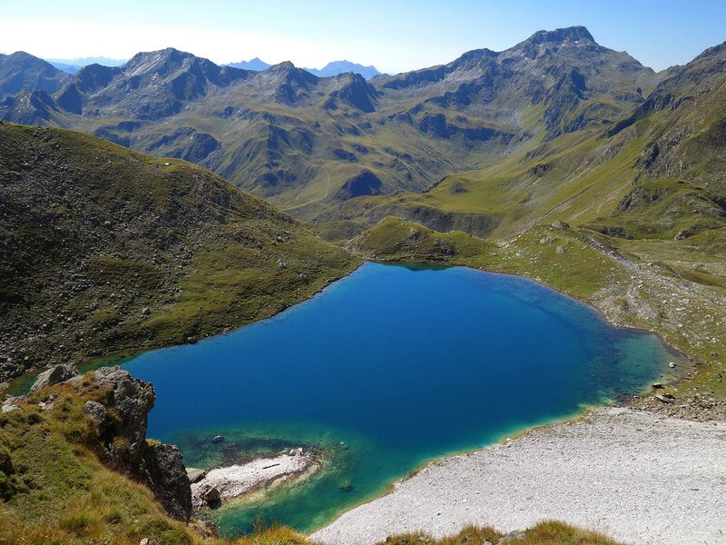
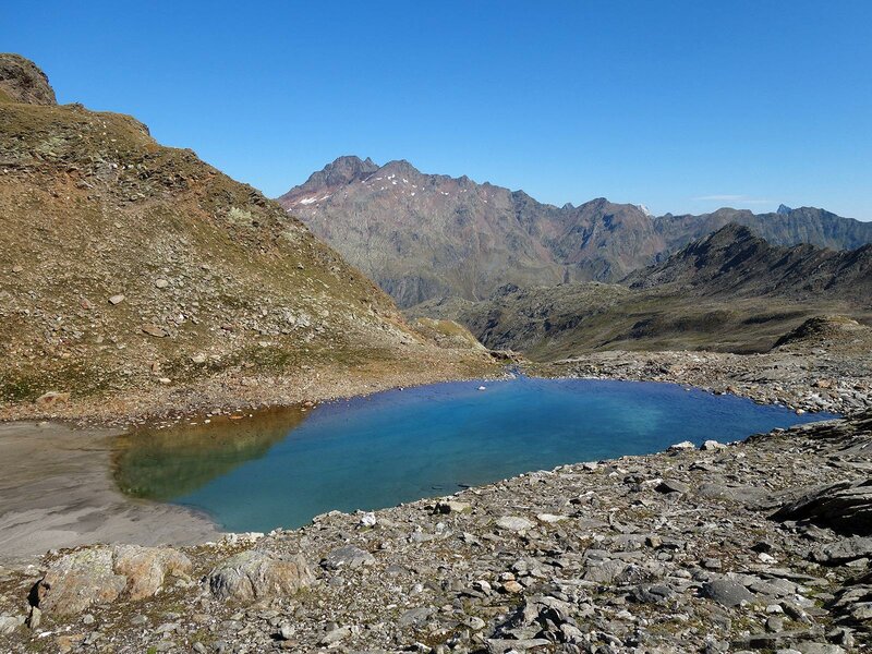
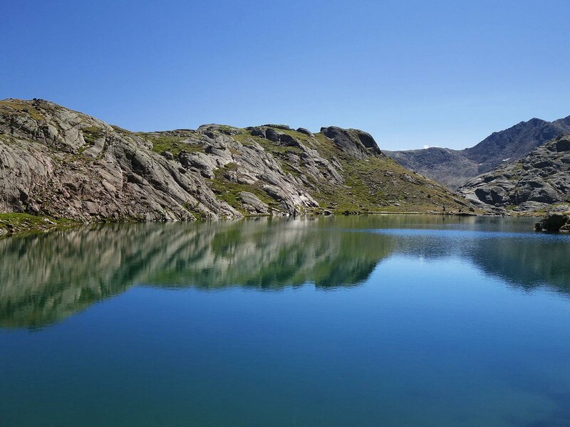
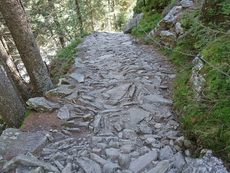
From here, we follow trail no. 33. Trail no. 28 offers a longer route via the Moarerberg Hut, one of the largest alpine farms in Vipiteno and Racines. Instead, we climb the steep Kastenbremsweg path to gain altitude more quickly. We have been walking for almost two hours now. Now, we begin our ascent to the seven lakes, reaching the first one, the Lago di Massaro Centrale, in 40 minutes.
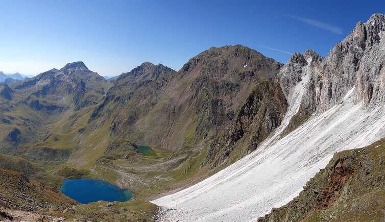
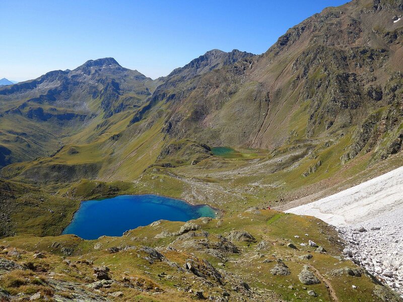
The Massaro Lakes, or Moarer Egetenseen, form an impressive, tiered lake plateau in the southern Stubai Alps. They lie between 2,469 and 2,695 metres above sea level. We continue upwards across the white marble scree slopes of the Rocce Bianche del Massaro rocks, known as Moarer Weissen (weiss means white), where looking back during the climb is highly rewarding.
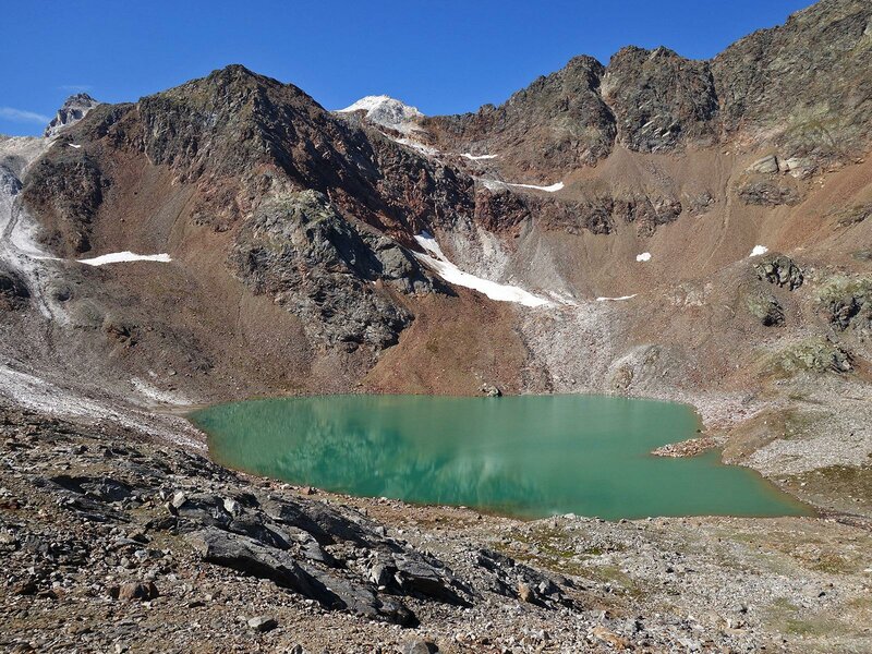
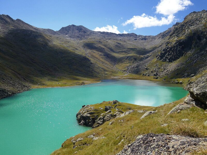
From this vantage point, we can see the second and third lakes: the Lago di Massaro Superiore, the upper Massaro Lake, and the Lago di Massaro Superiore, the Lower Massaro Lake. On a clear day, the Dolomites are visible on the horizon. At the Passo dell'Erpice at 2,700 metres above sea level, we reach the highest point of this mountain tour in the Stubai Alps. With views of Il Capro and the Vedretta Pendente glacier below, we descend to the fourth lake, the Lago di Massaro di Dentro.
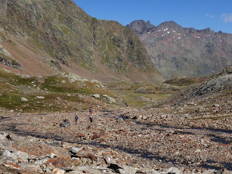
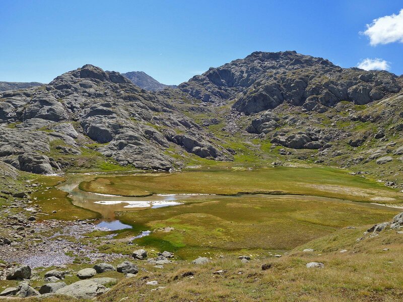
Its turquoise-blue colour shows that it is fed by glacier water. We walk through the Massaro high valley, which starts as a barren stony desert. It soon turns into a beautiful high alpine landscape thanks to the blooming cotton grass. The main feature here is the flowing water, which pools to form upland moors and mountain lakes. These include the fifth and sixth lakes: the Grande Lago di Massaro di Fuori and the bright blue Piccolo Lago di Massaro di Fuori.
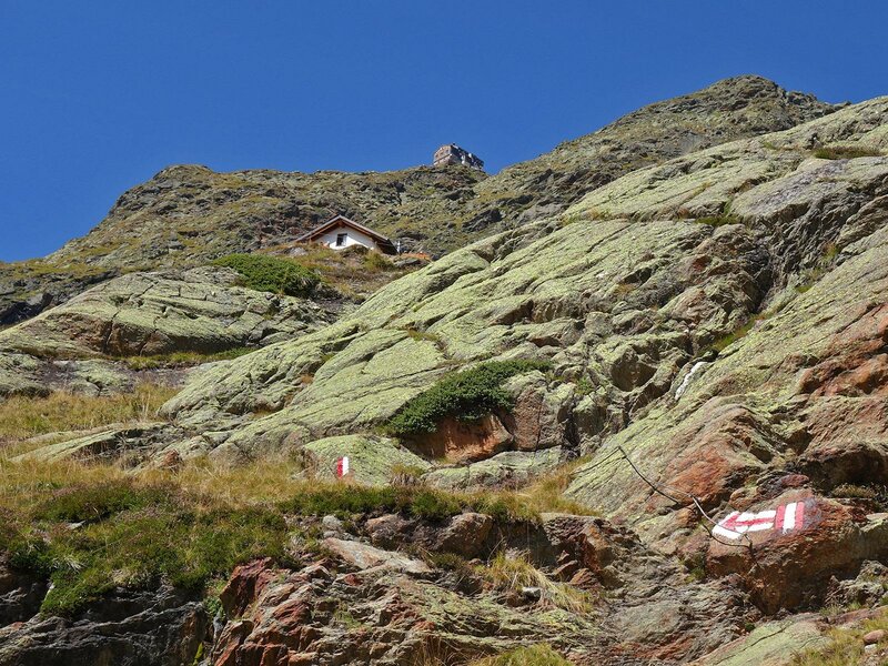
Descending gently, we continue towards the viewpoint overlooking the seventh and final lake, the Lago Torbido di Massaro. This is followed by a long descent to the sandy flats of the Sandböden, a terrace dating back to the last Ice Age. At the trail junction, we follow the signs to the Vedretta Piana Hut at 2,253 metres above sea level, which requires a short, steep climb.
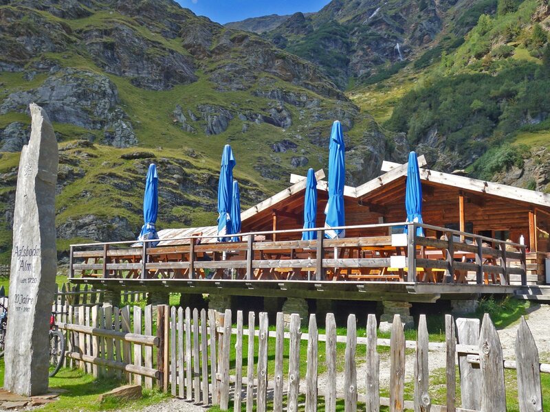
After a break, we take trail no. 9 to the Aglsboden Hut. From there, we follow trail no. 9 along the stream for the final kilometres back to Masseria near Ridanna. Another beautiful but longer hike in this area is the ascent from the Ridanna Mining World near Masseria to the Gino Biasi al Bicchiere Hut, known as Becherhaus, the highest mountain hut in South Tyrol.
Author: AT
Experienced: September 2020
Last updated: 2026
-
- Starting point:
- Monteneve Ridanna Mining World in Masseria (1,435 m a.s.l.)
-
- Overall time:
- 07:30 h
-
- Total route length:
- 20,5 km
-
- Altitude:
- from 1.435 m to 2.707 m
-
- Altitude difference (uphill | downhill):
- +1431 m | -1431 m
-
- Route:
- Masseria in the Val Ridanna - Valle di Lazzago - Stadlalm Hut - Poschhaus - Moarberg Hut - Lago di Massaro Centrale lake - view to the Lago di Massaro Superiore lake and Lago di Massaro Inferiore lake - Passo dell'Erpice - Lago di Massaro di Dentro lake - Massaro high valley - Grande Lago di Massaro di Fuori lake - Piccolo Lago di Massaro di Fuori lake - Lago Torbido di Massaro lake - Sandböden - Vedretta Piana Hut - Aglsboden Hut - Masseria
-
- Signposts:
- no. 28, 33, 33A, 33, 9, "7-Seen-Tour"
-
- Destination:
- Laghi di Massaro lakes (Moarer Egetenseen)
-
- Resting points:
- Stadlalm Hut (April to November), Moarerberg Hut (via a detour), Vedretta Piana Hut (both from June to September), Aglsboden Hut (May to October)
-
- Recommended time of year:
- Jan Feb Mar Apr May Jun Jul Aug Sep Oct Nov Dec
-
- Download GPX track:
- Seven Lakes Tour in Ridanna
-
- More information:
- The overall time shown above refers to the walking time only, not including breaks or stops. The highest point of the tour is the Passo dell'Erpice at 2,707 metres above sea level. With over seven hours of walking time, this circular tour is a full-day hike for fit mountain hikers - given the length, an early start is advisable.
We highly recommend checking the weather and trail conditions in advance and on site before starting this tour.