The route leads across the Passo di Vizze into the far end of the Zillertal: Great views along the Alpine divide are guaranteed
Image gallery: Hike to the Lavitz Mountain Hut

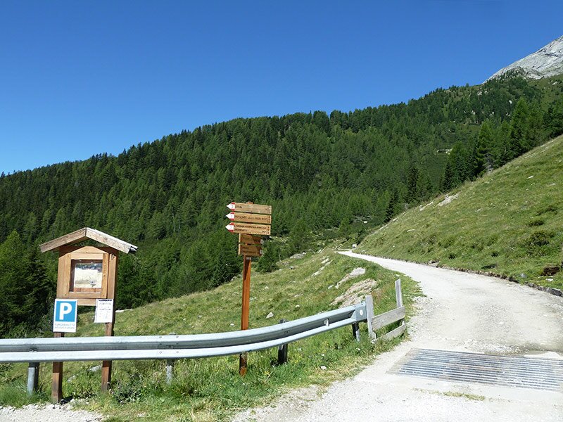
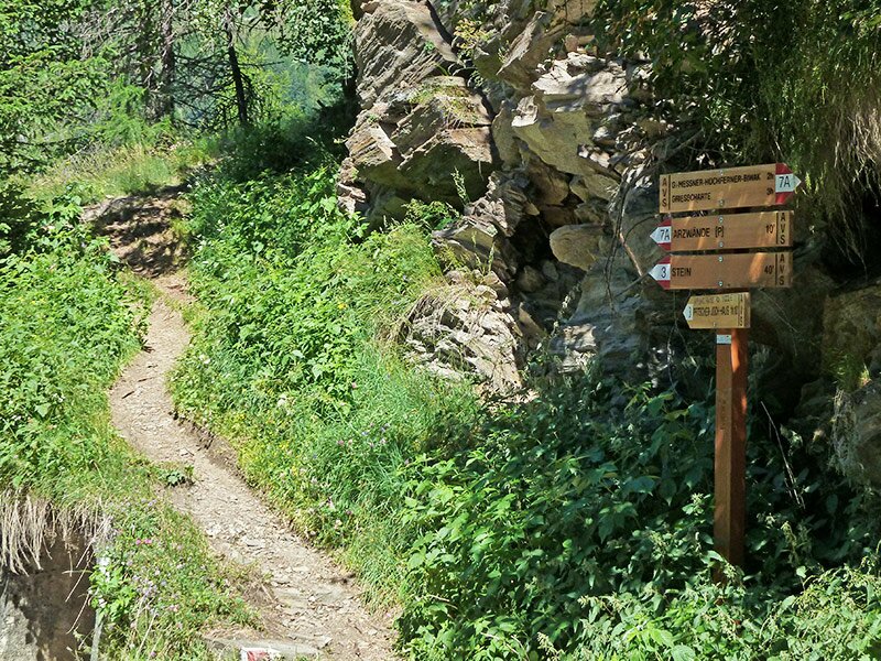
The starting point of our hike is the last car park on the road to the Passo di Vizze (Pfitscher Joch) at 1,800 metres above sea level, located just before the barrier. The road runs through the Val di Vizze up to the hamlet of Sasso near San Giacomo di Vizze di Dentro. From there, it continues up the slope as a gravel track. Now we proceed on foot, following path no. 3.
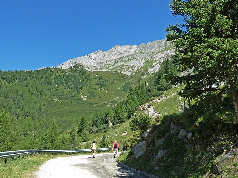
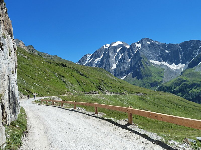
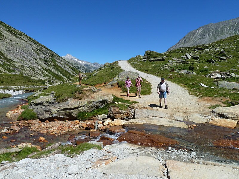
It leads downhill for a short distance before climbing up the mountain to the left. Higher up, it soon meets road no. 7A, which is closed to traffic, and we follow this uphill. We stick to this road as it gently guides us up to the Passo di Vizze. Initially walking through the forest, we reach the tree line at the first hairpin bend, and the path continues to climb steadily.
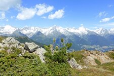
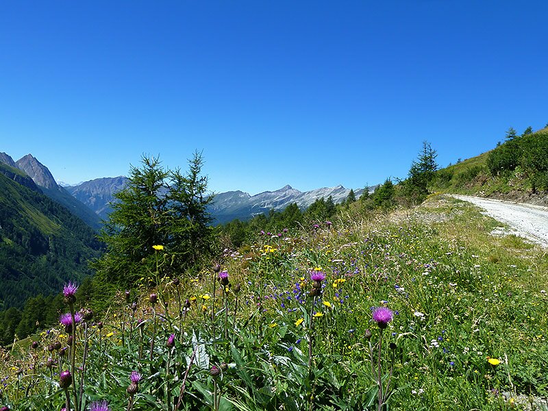
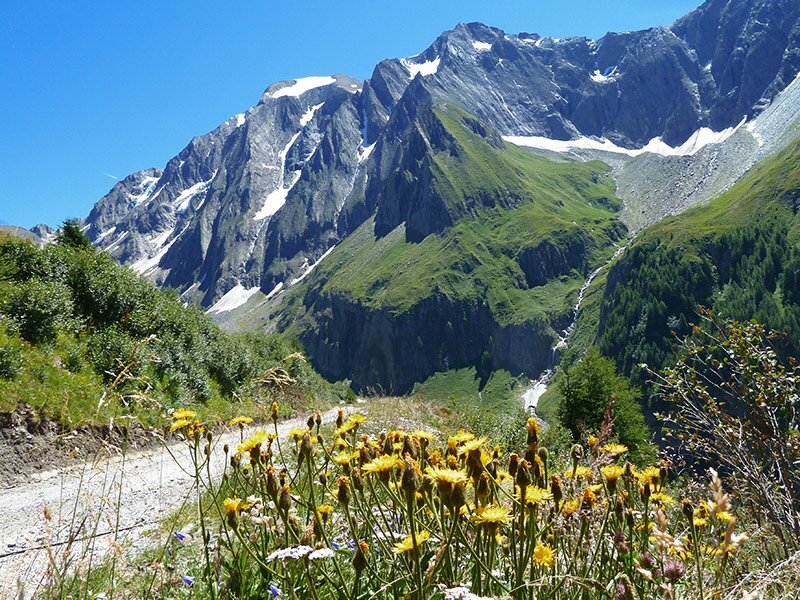
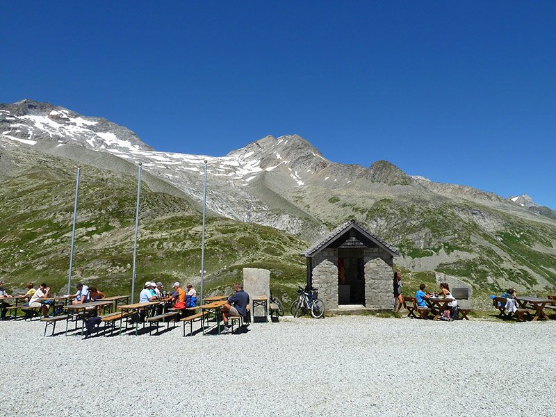
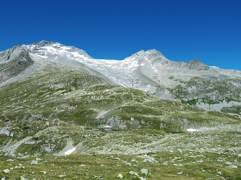
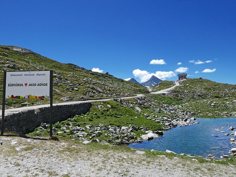
In this high Alpine environment of meadows and rock, we enjoy excellent views. The green Val di Vizze stretches out to the southwest, while the glacier world of Mt. Vedretta Alta and Mt. Gran Pilastro can be seen to the east. The vegetation along the path is in full bloom and attracts butterflies. After about 90 minutes, we reach the Passo di Vizze at 2,248 metres above sea level.
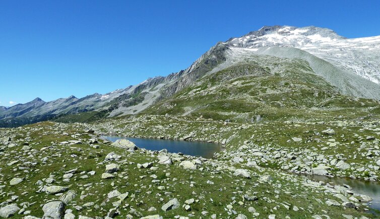
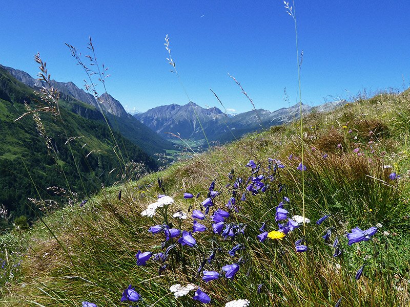
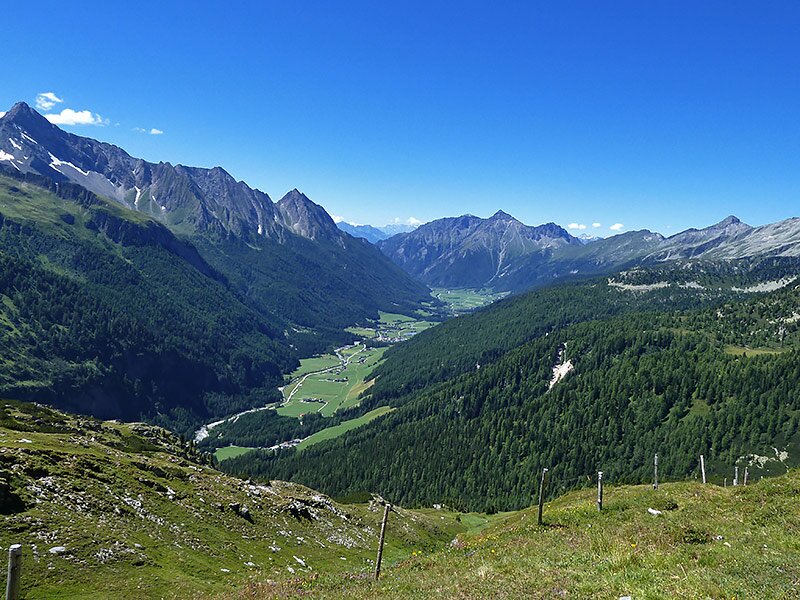
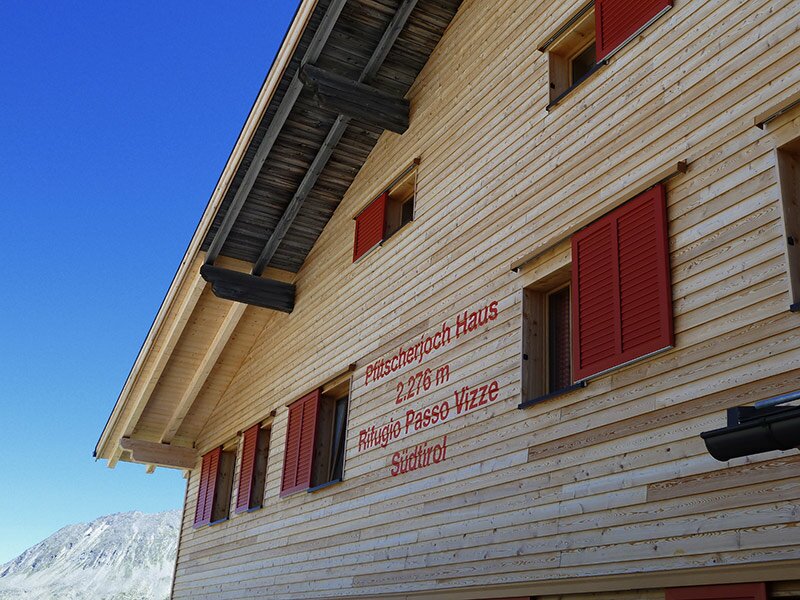
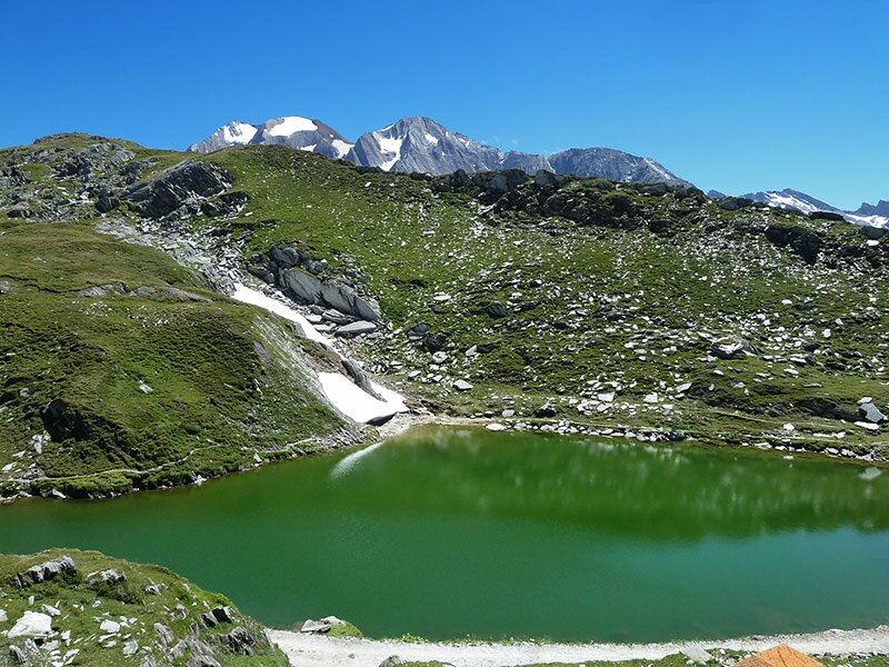
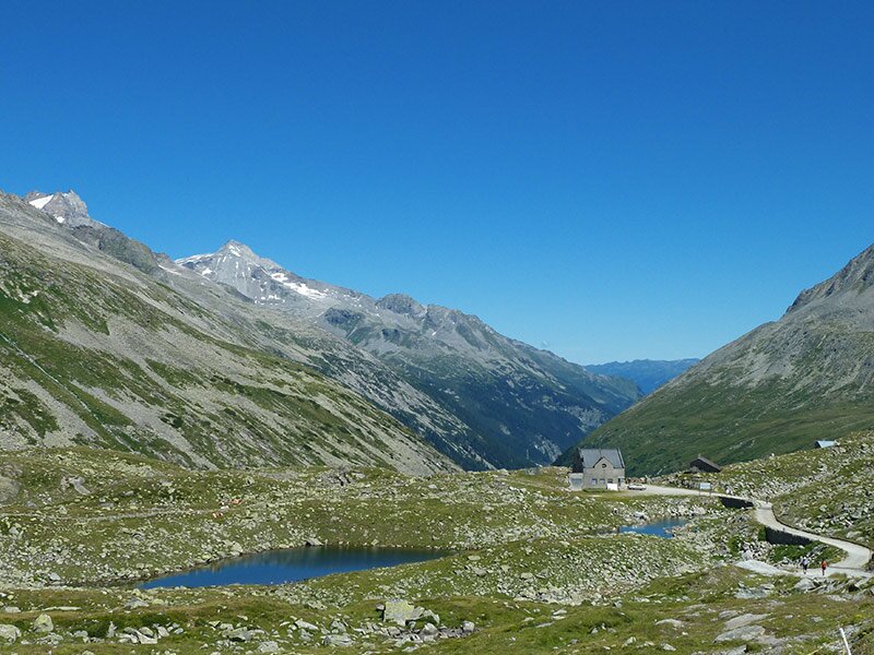
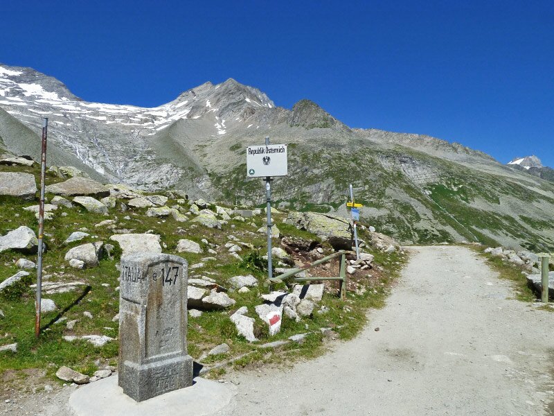
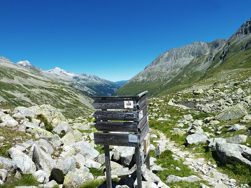
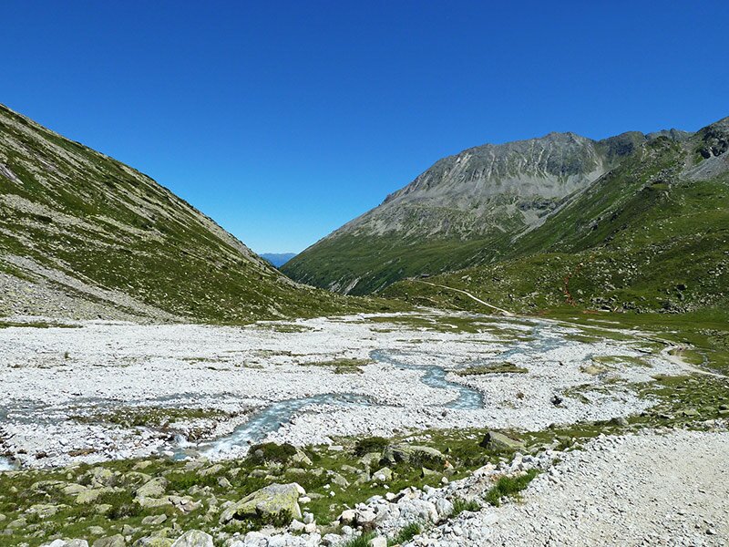
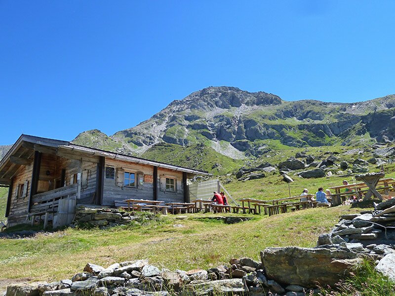
The surrounding mountains are reflected in the alpine Passo di Vizze Lakes, simply known as the Jochseen. We decide to venture across into the North Tyrolean Zillertal valley. After two kilometres, we reach the cosy Lavitzalm at an altitude of 2,100 metres, a serviced mountain hut in the Zillertal Alps. The Passo di Vizze itself, at 2,246 metres high, forms the national border between Italy and Austria, but more importantly, it separates two distinct landscapes.
It is striking to see how rock formations and vegetation can vary so much in such a small area - the differences between the barren high valley above the Zamser Grund and the south-facing mountain slope are considerable. We now head back along the same route, arriving back in the South Tyrolean Val di Vizze after nearly five hours in total.
Author: AT
Experienced: August 2013
Last updated: 2026
-
- Starting point:
- parking space on the 4th bend at the road to the Passo di Vizze (1,789 m a.s.l.)
-
- Overall time:
- 04:40 h
-
- Total route length:
- 15,6 km
-
- Altitude:
- from 1.789 m to 2.246 m
-
- Altitude difference (uphill | downhill):
- +698 m | -698 m
-
- Signposts:
- no. 3, 7A, 524
-
- Destination:
- Lavitz Mountain Hut (2,100 m a.s.l.)
-
- Resting points:
- Passo di Vizze Hut (June to October), Lavitz Hut (June to September)
-
- Recommended time of year:
- Jan Feb Mar Apr May Jun Jul Aug Sep Oct Nov Dec
-
- Download GPX track:
- Hike to the Lavitz Mountain Hut
-
- More information:
- The overall time shown above refers to the walking time only, not including breaks or stops. The video above shows the first stage of the hike from Sasso to the Passo di Vizze Hut.
If you want to undertake this hike, we recommend checking the weather and trail conditions in advance and on site before starting this hike!