A pleasant five-hour hike through the Valle di Borgone valley to the self-catering hut below Mt. Picco della Croce
Image gallery: Hike via the Malga Borgone to the Vipiteno Hut
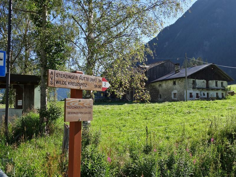
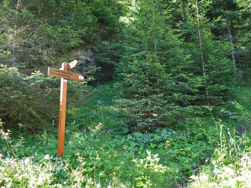
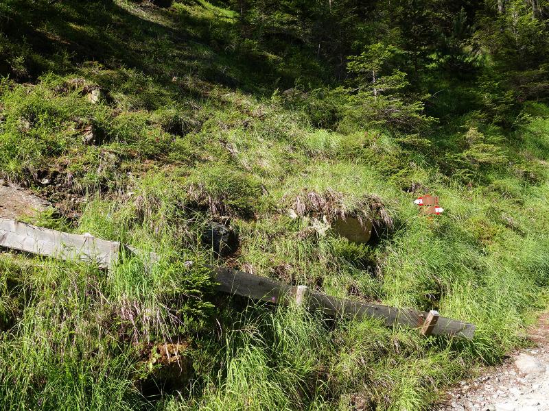
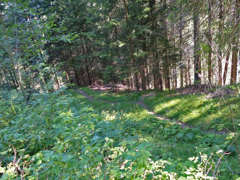
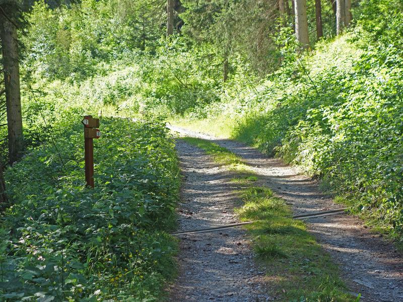
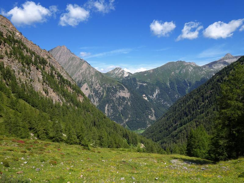
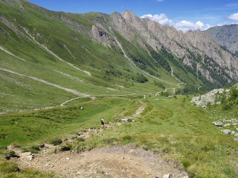
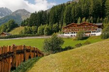
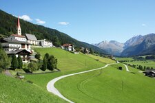
The Valle di Borgone in the northern Fundres Mountains is a side valley of the Val di Vizze, which in turn is a tributary valley of the Upper Valle Isarco. The starting point is the bus stop at the hamlet of Borgone near Avenes. The hike follows the path leading from here to the meadows of the Borgone Hut. Marked as number 2, it is partly a gravel track that later takes several shortcuts along forest trails. We walk through the woods until we reach the first alpine meadows.
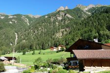
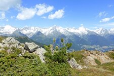
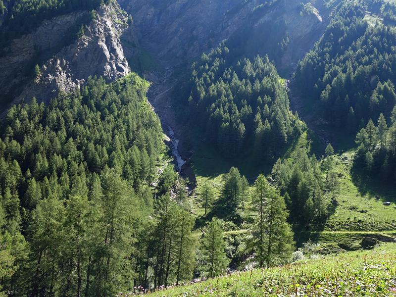
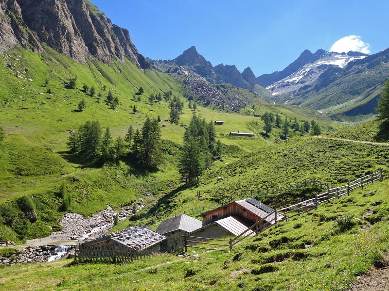
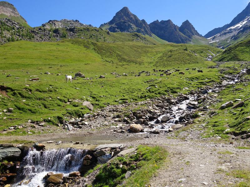
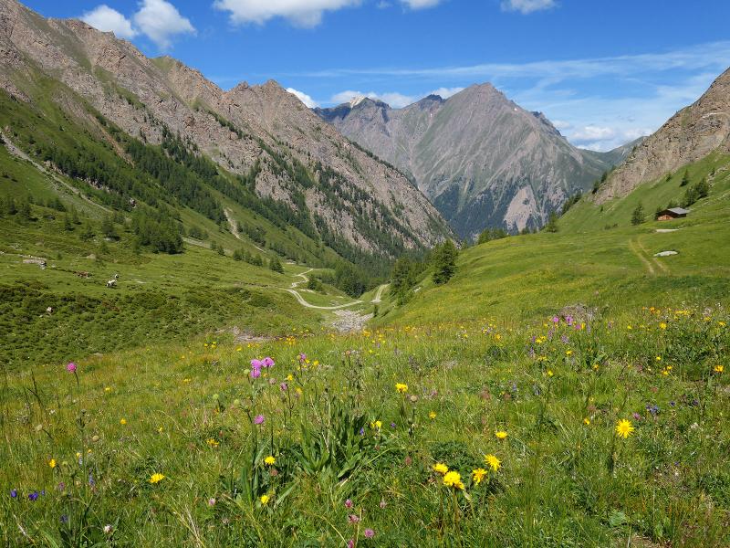
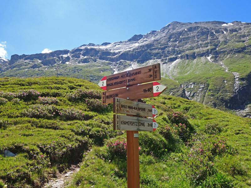
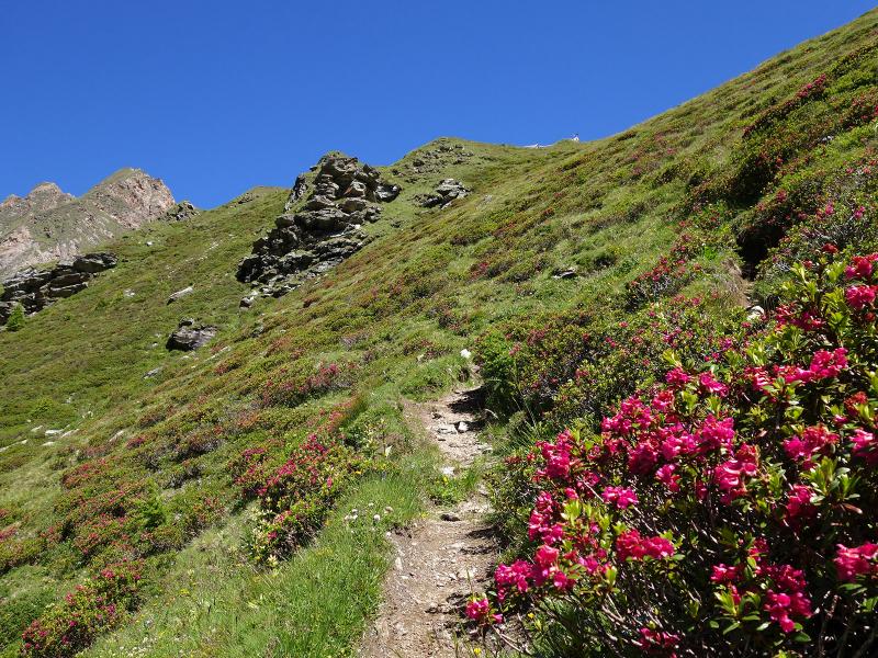
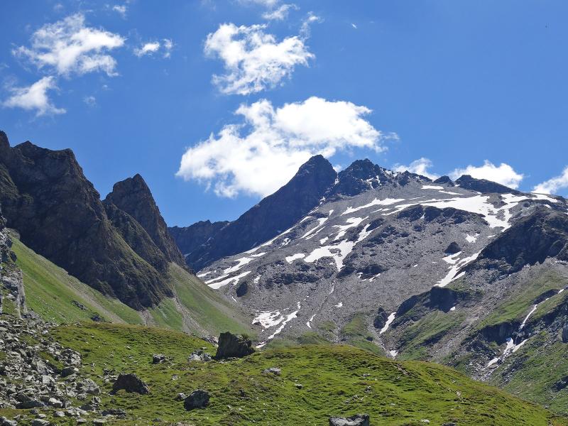
Emerging from the forest, the view opens up to the peaks surrounding the Val di Vizze: Monte Grande, Leitnerwand, Übersail, Ochsenkopf, Kramerspitz, and Ebengrubspitz, as well as Mt. Picco della Croce at the far end of the valley. This is the highest elevation of the Fundres Mountains in the Zillertal Alps. Path no. 2 now takes us to the alpine pastures of Borgone (Burgum).
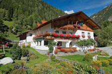
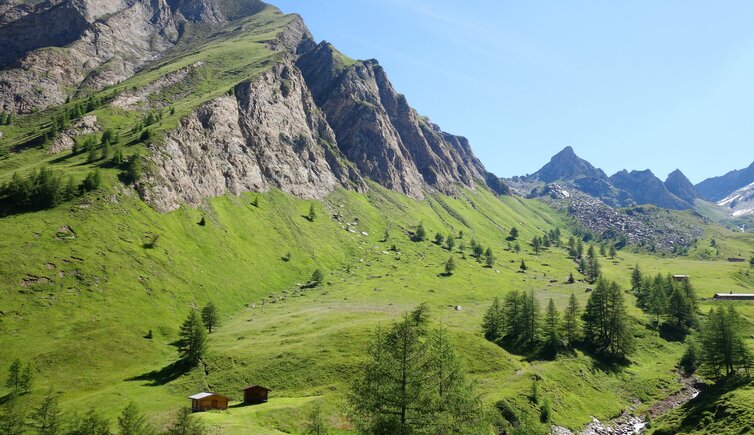
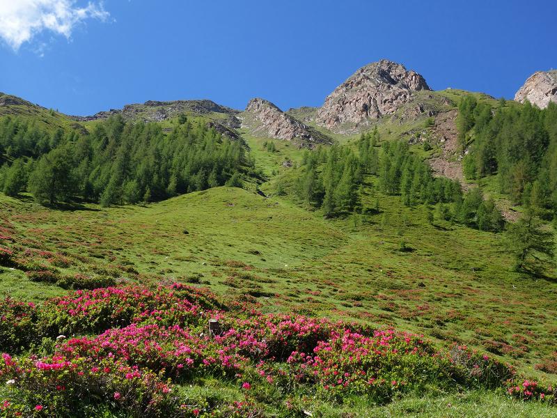
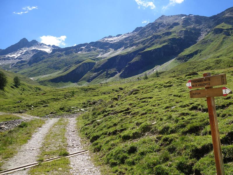
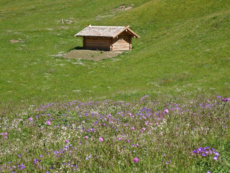
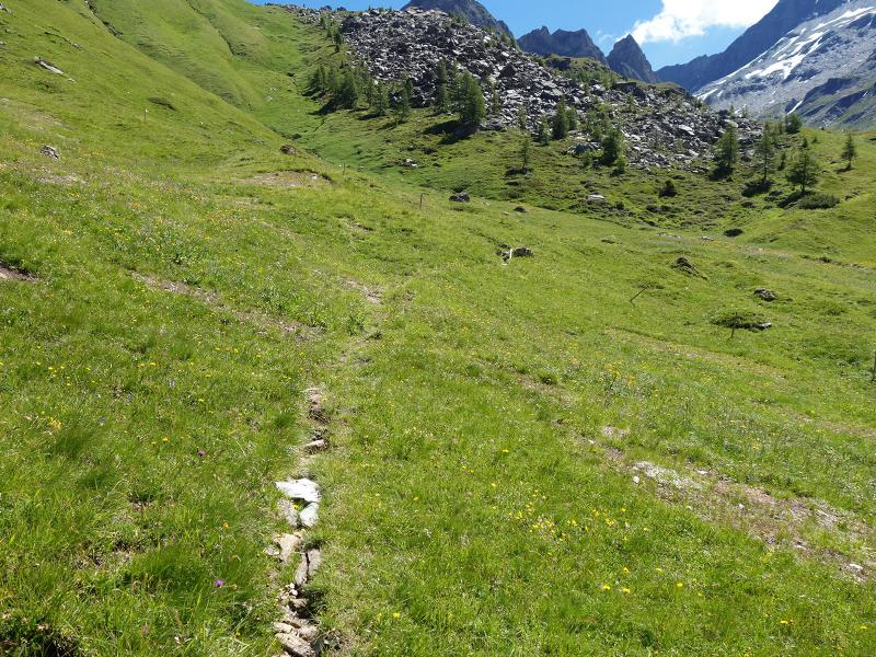
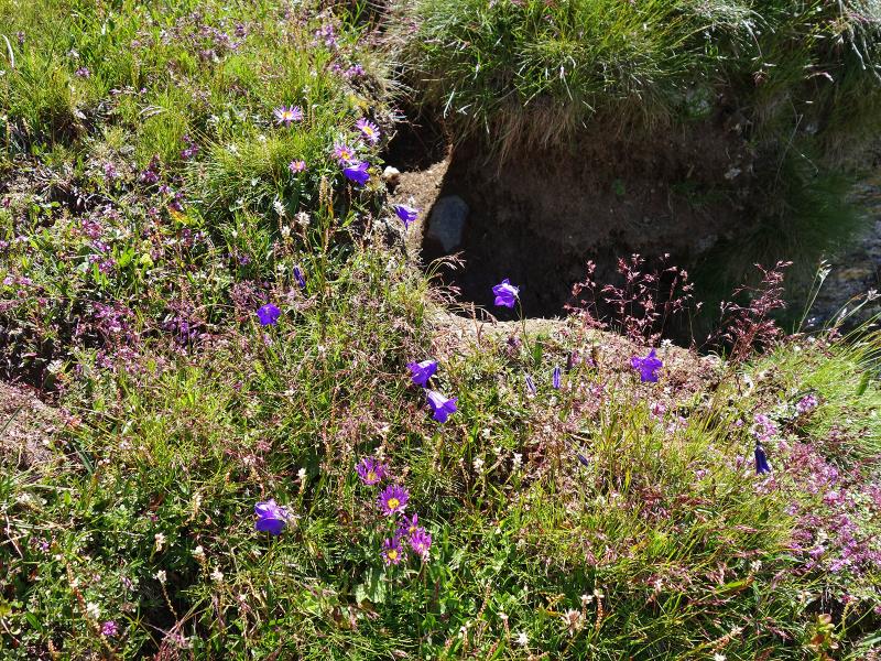
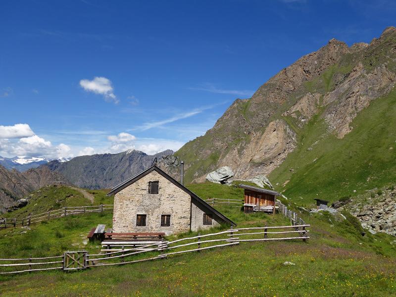
Flowering meadows and slopes covered in alpine roses characterise the landscape, with goats and cows grazing in the pastures. The alpine road ends at a wooden hut. From here, a narrow path leads up to the Vipiteno Hut, a mountain refuge managed by the Vipiteno section of the AVS.
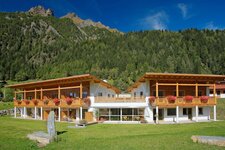
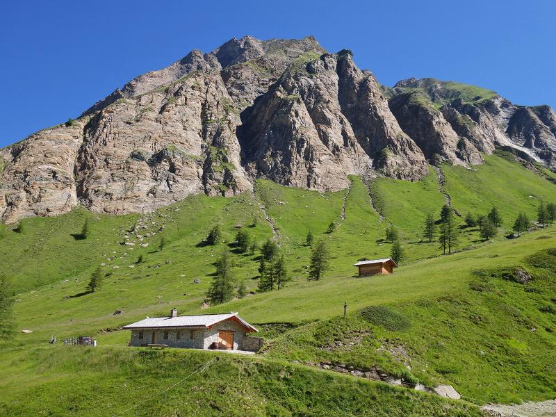
The Vipiteno Hut, or Sterzinger Hütte, has not had a resident warden for several years - however, between June and October, visitors can request the key from the caretaker for overnight stays. It is a good thing we have provisions in our rucksacks, as our stomachs are rumbling after a three-hour uphill walk, and there are no refreshment stops anywhere in this area.
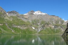
Instead, we find unspoilt natural surroundings, a seemingly untouched landscape, tranquillity, and a fine view of the rugged peaks of the Tux Alps and the Fundres Mountains. The return journey follows the same route. After a total of five hours, we arrive back in Borgone.
Author: AT
Experienced: July 2020
Last updated: 2026
-
- Starting point:
- hamlet of Borgone in the Val di Vizze (1,380 m a.s.l.)
-
- Overall time:
- 05:00 h
-
- Total route length:
- 12,2 km
-
- Altitude:
- from 1.380 m to 2.344 m
-
- Altitude difference (uphill | downhill):
- +964 m | -964 m
-
- Signposts:
- no. 2
-
- Destination:
- Vipiteno Mountain Hut (2,344 m a.s.l.)
-
- Resting points:
- none
-
- Recommended time of year:
- Jan Feb Mar Apr May Jun Jul Aug Sep Oct Nov Dec
-
- Download GPX track:
- Hike via the Malga Borgone to the Vipiteno Hut
-
- More information:
- The overall time shown above refers to the walking time only, not including breaks or stops.
If you want to undertake this hike, we recommend checking the weather and trail conditions in advance and on site before starting this hike!