The path leads us through the Valgiovo valley up to the Passo di Monte Giovo and further on to the beautiful mountain pastures of Racines
Image gallery: Hike to the Cresta del Giovo ridge
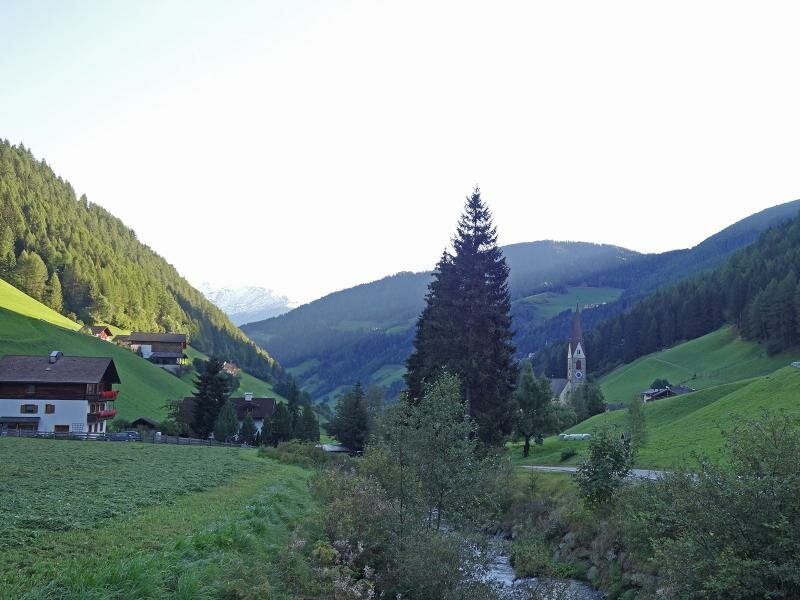
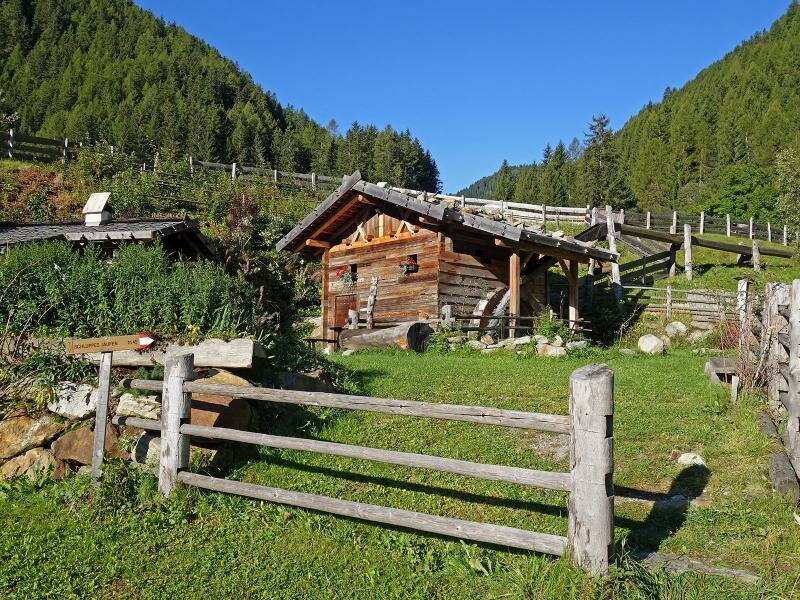
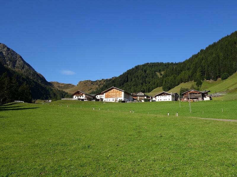
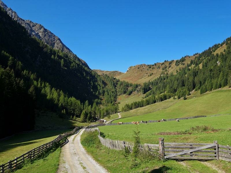
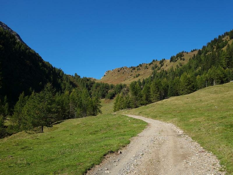
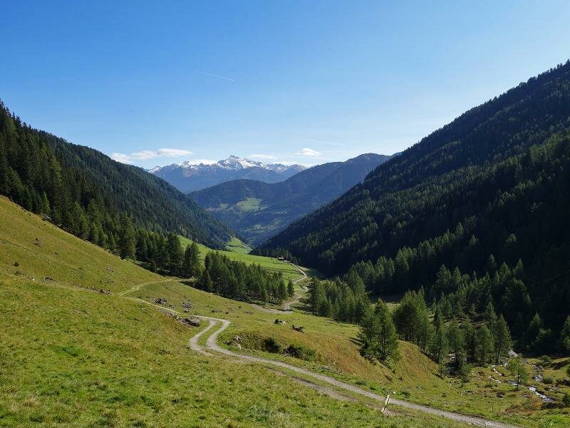
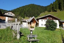
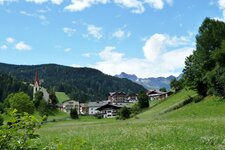
The hamlet of Val di Mezzo, the main settlement of the Valgiovo valley belonging to the municipality of Racines, represents the starting point of our hike to the Cresta del Giovo ridge. We start at the bus stop near the church and follow the road up the valley and past the hamlets of Obertal and Casalupa. At this point the trail leaves the asphalt road and proceeds as forest path to the Valgiovo mountain pastures. The rather flat path gets steeper and narrower the closer we come to the Borstalpe and the Rifugio Giovo mountain huts (2,000 m a.s.l.).
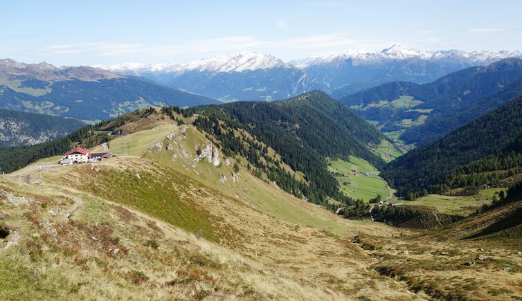
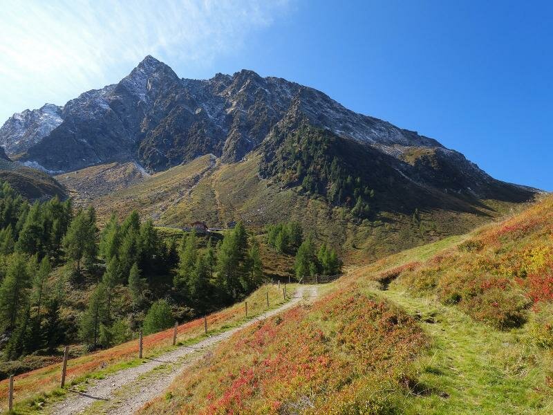
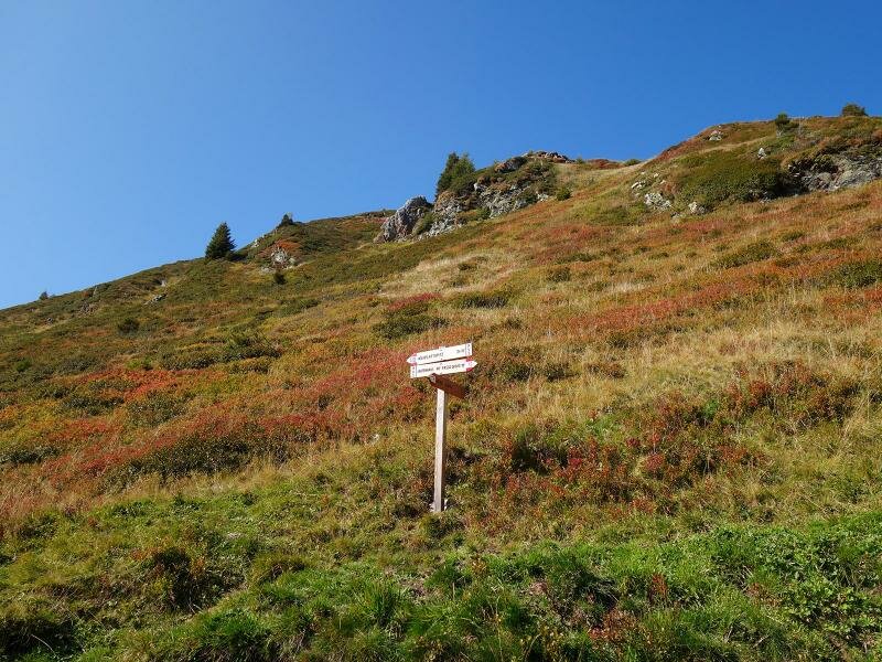
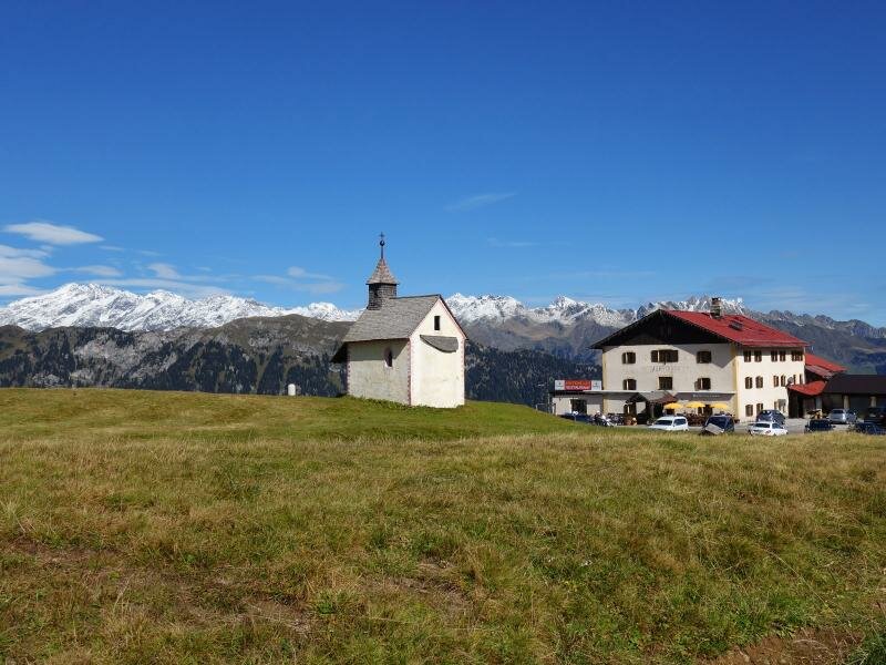
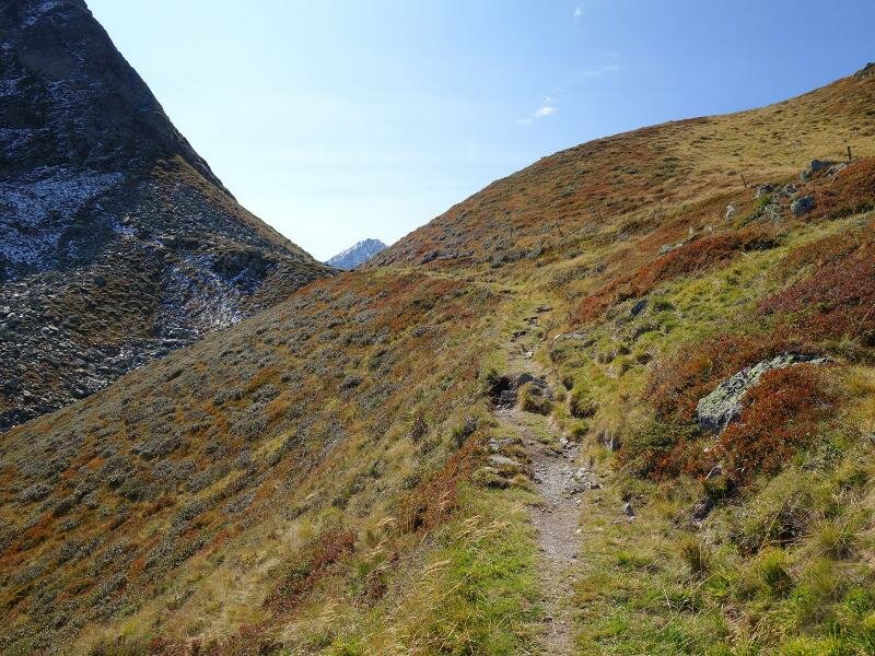
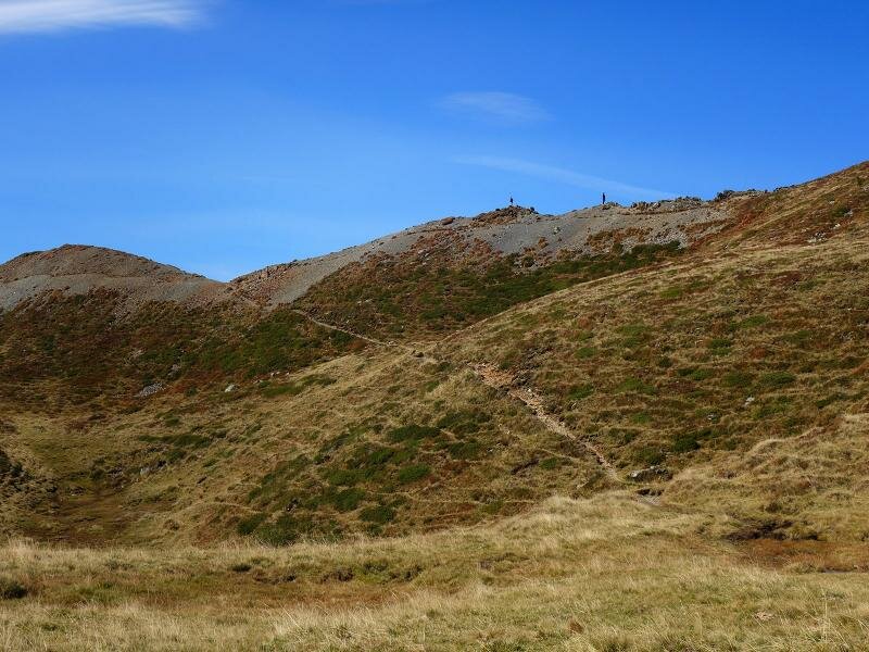
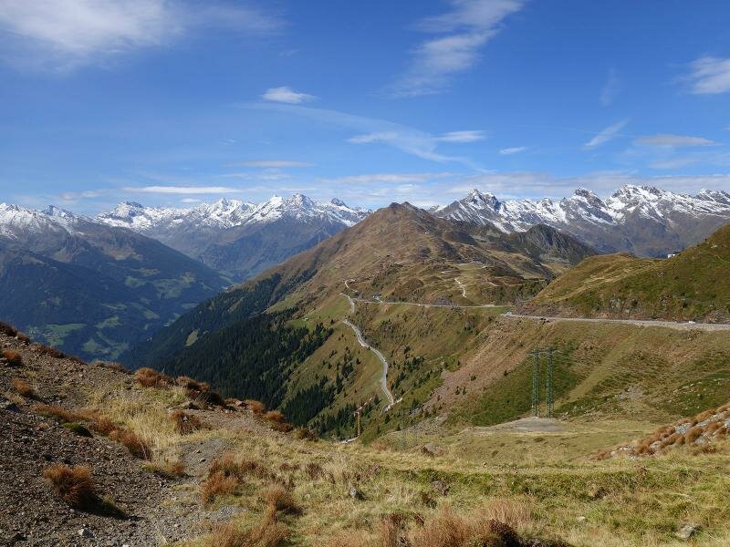
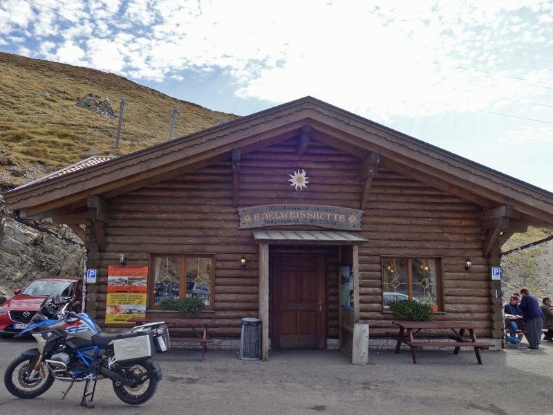
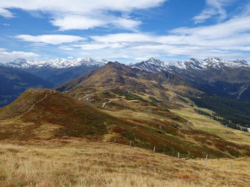
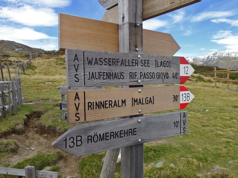
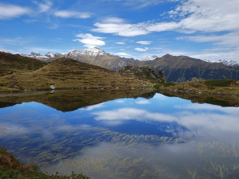
Now, at the end of September, the heathland vegetation glows in bright autumn colours. The former Rifugio Passo Giovo (Jaufenhaus) is located near the second last bend of the Passo di Monte Giovo road. At this point the path no. 11A proceeds towards the Passo di Monte Giovo pass which offers a wonderful view on the Val Passiria valley. At the Rif. Stella Alpina mountain hut at 2,094 m asl we stop for lunch. Afterwards we continue our hike on the opposite roadside towards the Rinner Sattel saddle and follow the Cresta del Giovo ridge to the beautiful Wasserfall Lakes.
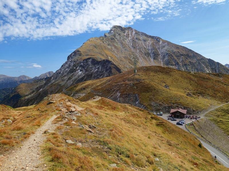
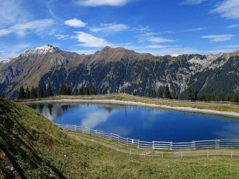
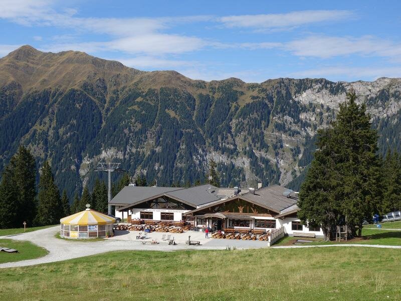
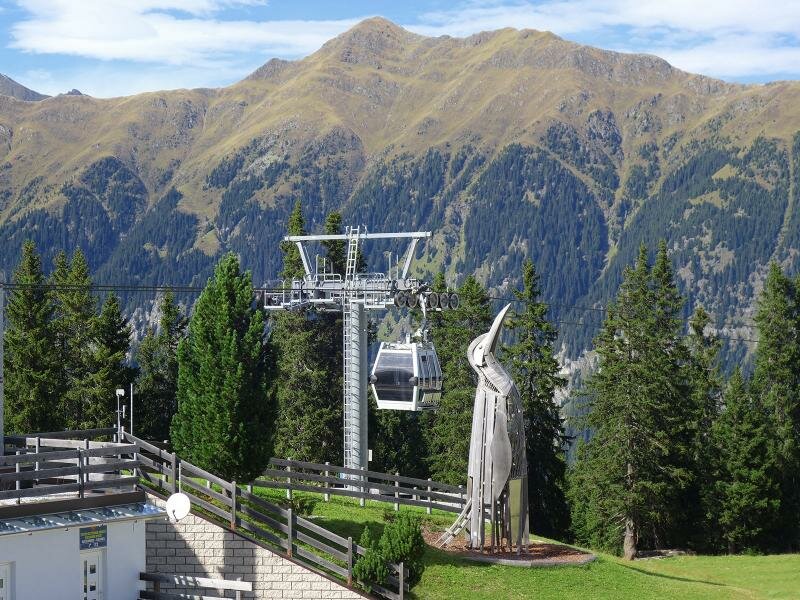
Finally we reach the Malga Rinner mountain hut and walk downhill to the mountain station of the Racines Cable Car. It takes us down into the valley, more precisely to the hamlet of Colle in Racines, where our hike ends. We turn back to our starting point by bus.
Author: AT
-
- Starting point:
- Valgiovo valley, Val di Mezzo
-
- Overall time:
- 04:10 h
-
- Total route length:
- 11,8 km
-
- Altitude:
- from 1.149 m to 2.114 m
-
- Altitude difference (uphill | downhill):
- +1021 m | -288 m
-
- Signposts:
- no. 12, 11A, 12, "Rinneralm"
-
- Destination:
- Rinneralm mountain hut (mountain station of the Racines Cable Car)
-
- Resting points:
- Panorama, Edelweiss, Rinner Alm
-
- Recommended time of year:
- Jan Feb Mar Apr May Jun Jul Aug Sep Oct Nov Dec
-
- Download GPX track:
- Hike to the Cresta del Giovo ridge