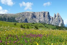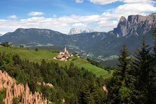
Easy walk on the mountain between Colle Isarco and Vipiteno, providing a great panoramic view on the Alpine divide
Image gallery: Hike on the Dolomieu Path to Mount Cavallo
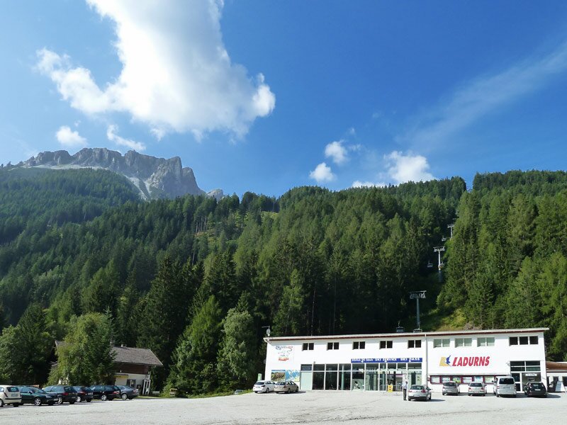
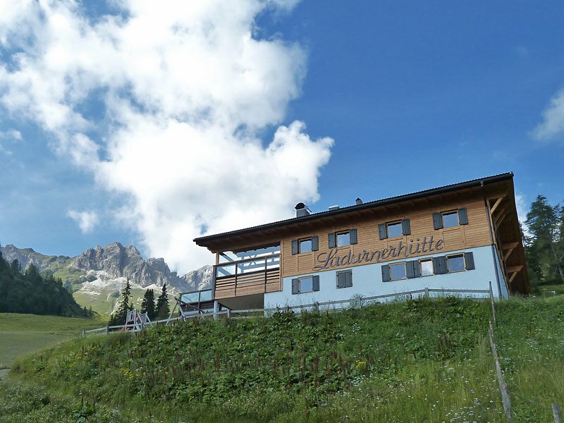
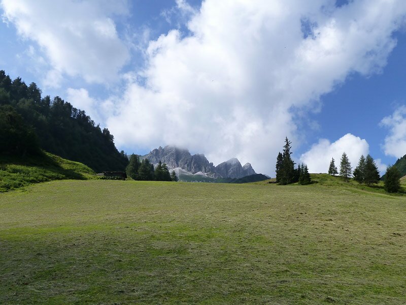
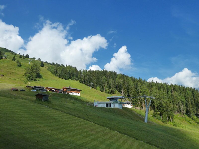
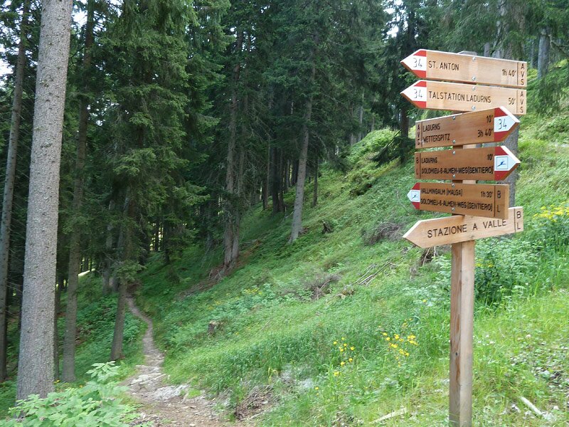
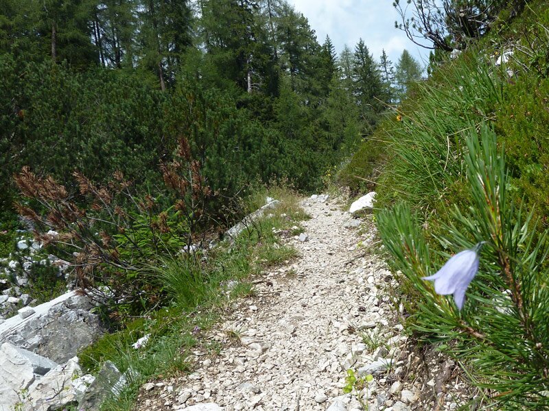
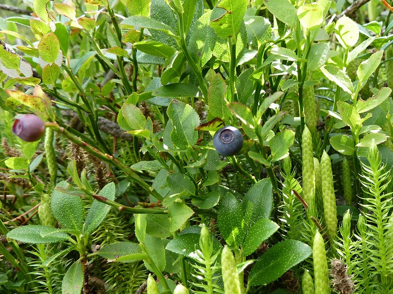
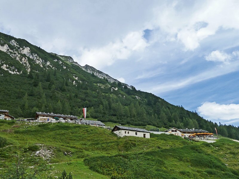
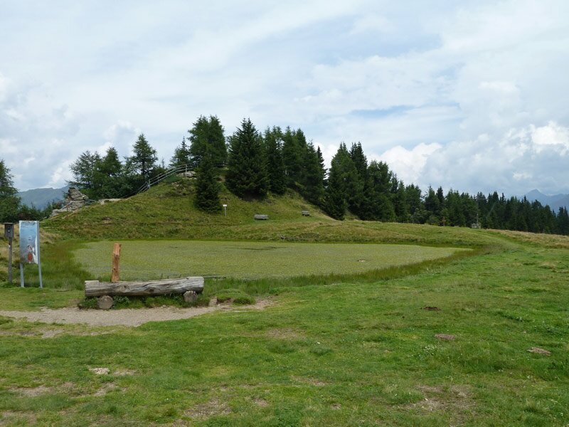
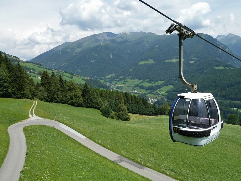
Starting point and place of destination of our walk is Vipiteno (Sterzing). Via Colle Isarco (Gossensass) we reach the outer Val di Fleres by bus, where we get off at the lower terminus of the chairlift of Ladurns. This is where we get the combined ticket, which is perfect for this tour, and take the lift to the Rifugio Ladurnerhütte mountain hut. From the mountain pastures we walk to the east across the forest, on a forested path and then on a narrow trial in the forest.
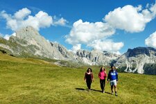
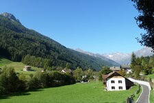
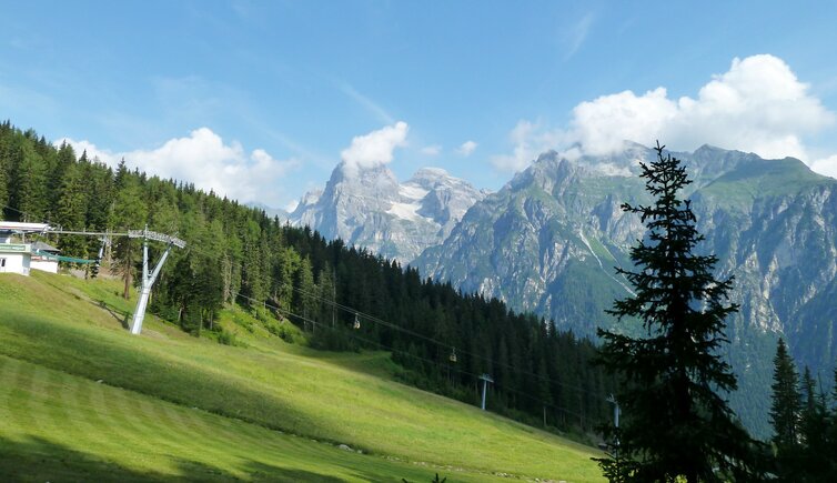
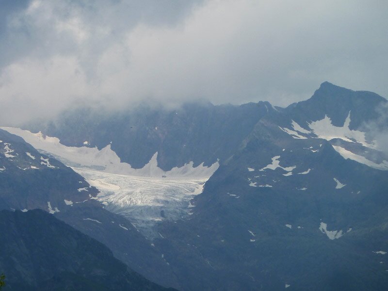
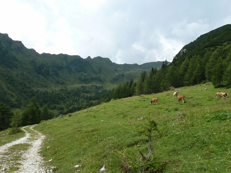
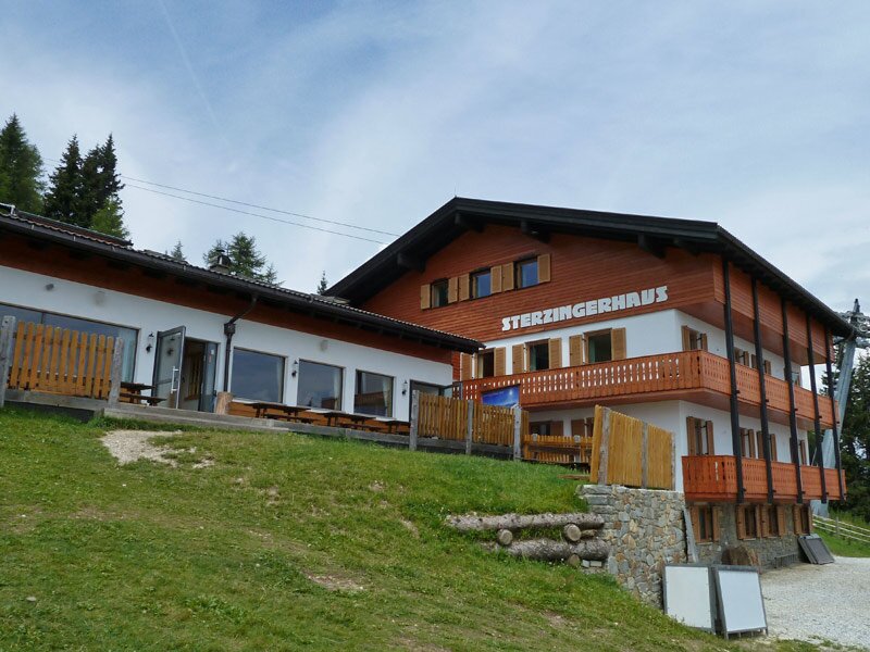
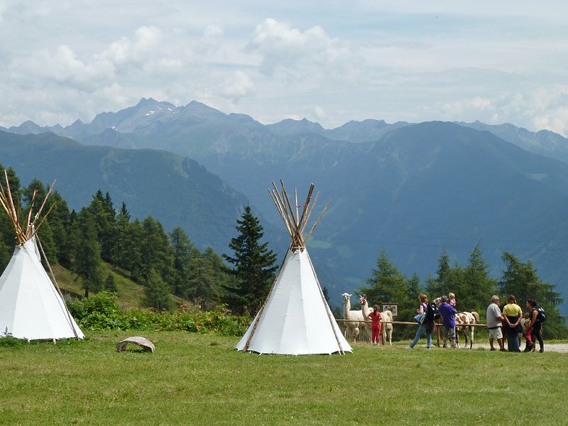
The first section the way down, after about half an hour more and more up. The beauty of nature is astonishing and we enjoy the great view of the glaciers of Fleres and the mighty Tribulaun mountain as well as the Alta Valle Isarco. Our path joins a road that takes us to the Vallming mountain pastures. This place is only a stone's throw away from the Flaner Jöchl round tour, leading back to the Rif. Sterzinger mountain hut at the Rosskopf/Monte Cavallo.
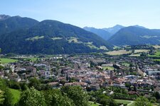
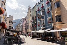
The cable car takes us back to Vipiteno, where we conclude our walk with a tour in the centre. Please check the timetable of the lift facilities of Ladurno that do not run every day in summer!
Author: AT
-
- Starting point:
- Ladurner Mountain Hut (mountain station chairlift Ladurns in the Val di Fleres)
-
- Overall time:
- 02:45 h
-
- Total route length:
- 7,9 km
-
- Altitude:
- from 1.599 m to 1.929 m
-
- Altitude difference (uphill | downhill):
- +481 m | -348 m
-
- Signposts:
- Dolomieu-Almenweg, 24A, 24
-
- Destination:
- Vipiteno, mountain station Monte Cavallo / Rosskopf gondula lift
-
- Resting points:
- Vallming Alm (Jörgnerkaser), Sterzingerhaus
-
- Recommended time of year:
- Jan Feb Mar Apr May Jun Jul Aug Sep Oct Nov Dec
-
- Download GPX track:
- Hike on the Dolomieu Path to Mount Cavallo
If you want to undertake this hike, we recommend checking the weather and trail conditions in advance and on site before starting this hike!