Easy hiking tour on forest roads through the woods above Vipiteno and Colle Isarco to three beautiful alpine pastures
Image gallery: Hike to the Prantner Hut and Cima Gallina Hut
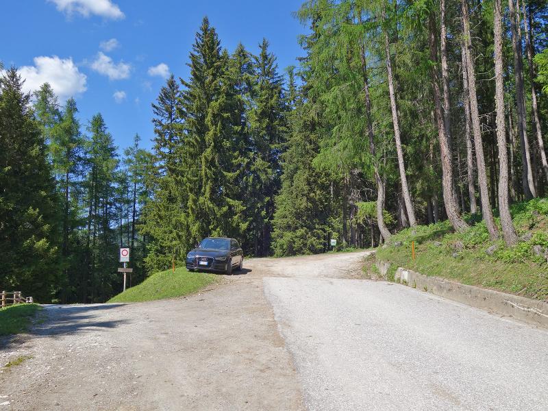
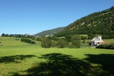
On this warm June day, we choose a hut tour: The Prantner Hut, the Riedberg Hut, and the Cima Gallina Hut, or Hühnerspielhütte, are stops along our route. From Smudres, a small hamlet above Prati, we drive past the Braunhof farm to the end of the asphalt road (at the Gögl / Plunhof junction), where there are a few parking spaces along the roadside.
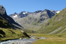
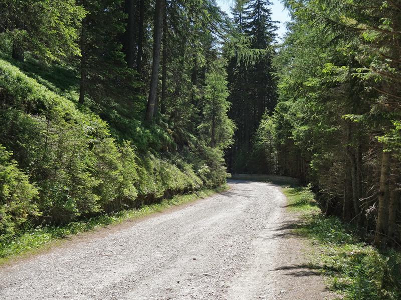
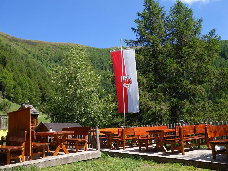
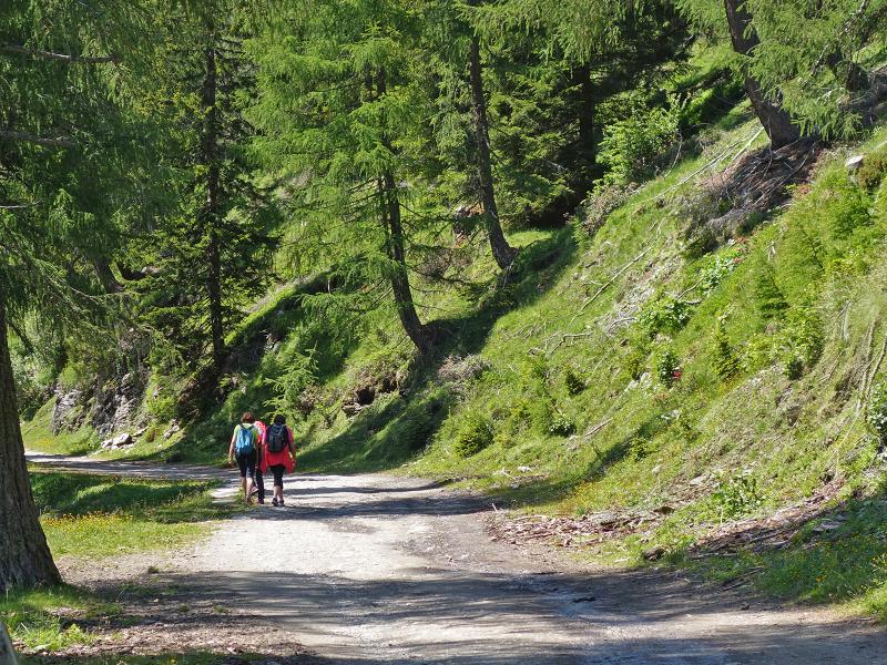
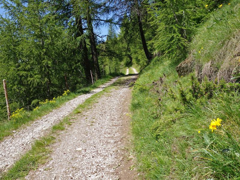
We follow the forest road, originally built as a military route, on foot towards the Prantner Hut. The path winds upwards in switchbacks - it is pleasantly wide and not particularly steep. The only slight drawback is that the dusty stretch up to the Riedberg Hut is open to motorized traffic. After a good hour, we reach the popular Prantner Hut at an altitude of 1,800 metres.
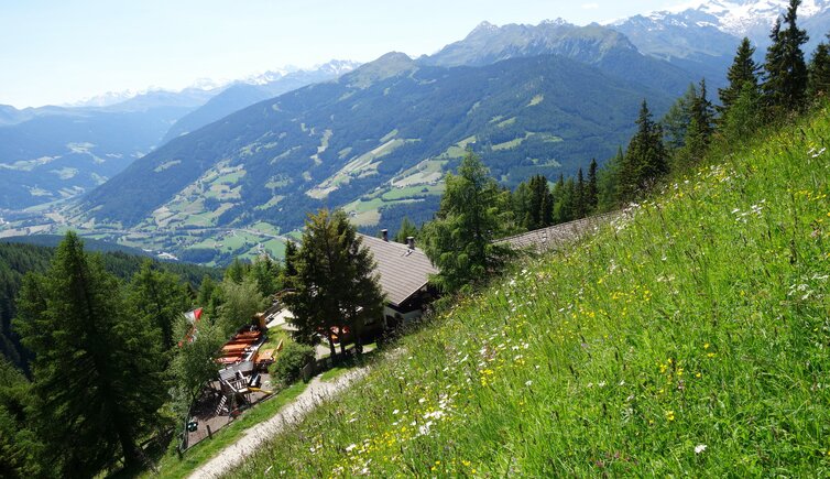
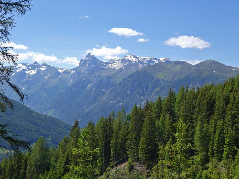
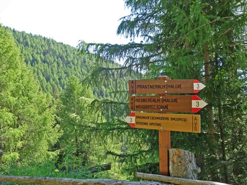
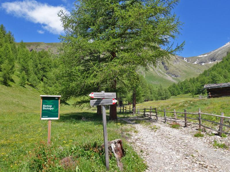
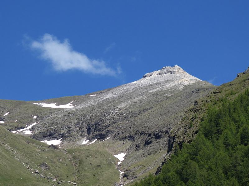
The sun terrace presents a magnificent view of the Vipiteno valley basin and the Stubai Alps with the Tribulaun peaks in the foreground. We continue along the forest road, now also marked as trail no. 3, reaching the unmanaged Riedberg Hut, located 100 metres higher up, in half an hour. Now we hike along trail no. 11, which is almost flat, past the hut and a biotope to the Cima Gallina Hut.
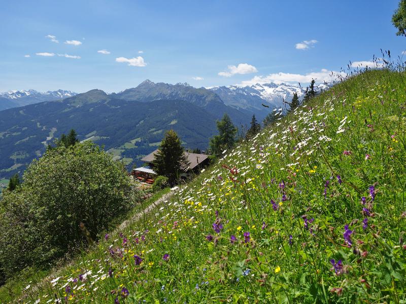
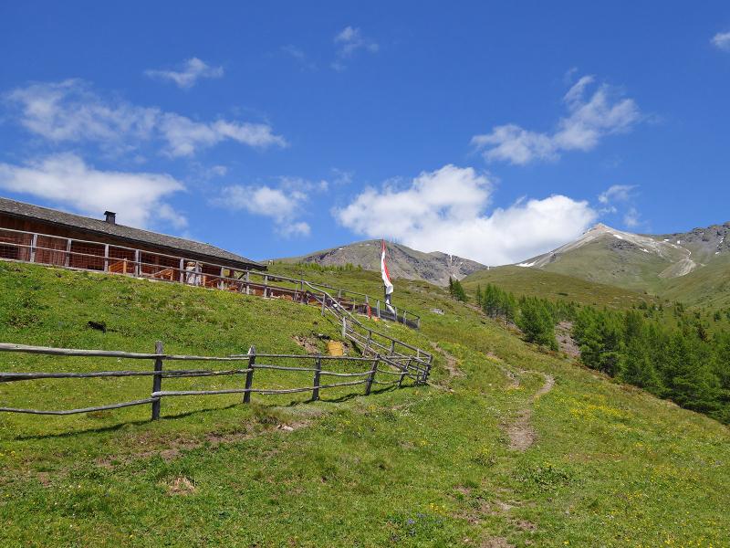
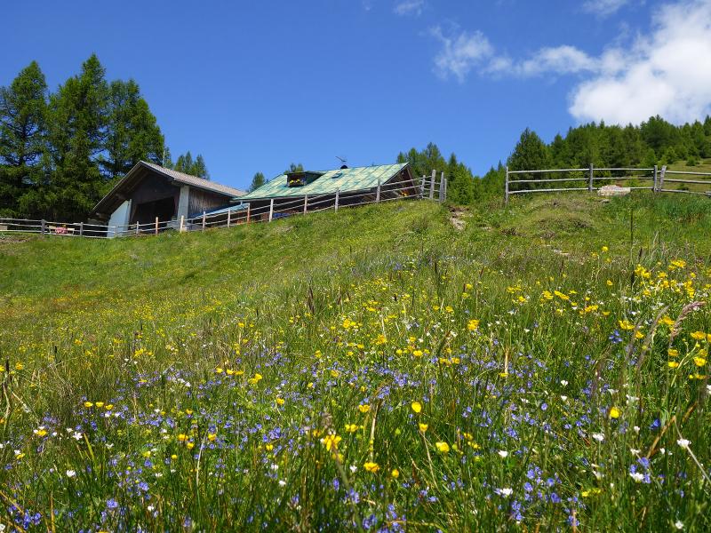
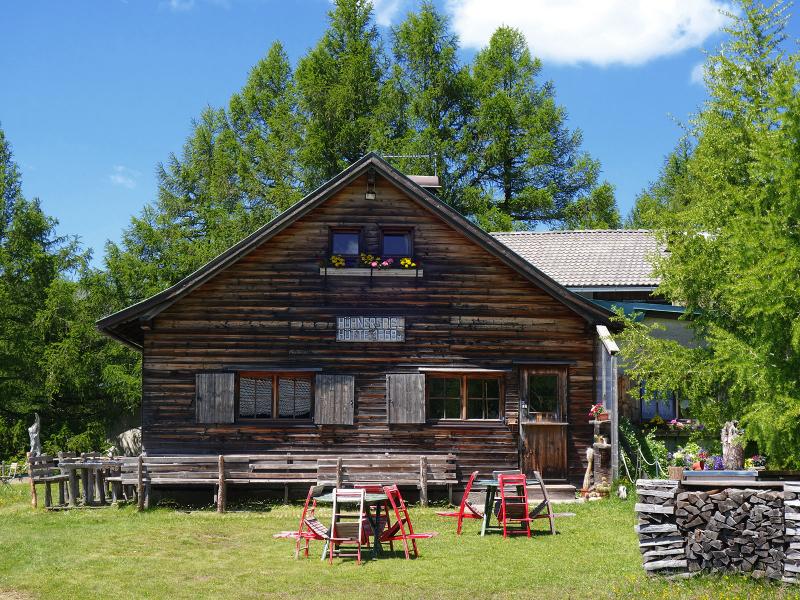
After two hours of walking, we reach our destination. The alpine hut is perched at 1,868 metres above Colle Isarco and is renowned for its cuisine, specialising in regional organic produce.
It also provides overnight accommodation. Unfortunately, we arrive at the hut, surrounded by flowering meadows, precisely on its weekly closing day. Therefore, we begin our return journey along the same route. We arrive back in Smudres near Prati after just over three hours.
Author: AT
Experienced: June 2020
Last updated: 2026
-
- Starting point:
- forest road above Braunhof / Gögl in Plun, Smudres (1,454 m a.s.l.)
-
- Overall time:
- 03:20 h
-
- Total route length:
- 11,9 km
-
- Altitude:
- from 1.454 m to 1.924 m
-
- Altitude difference (uphill | downhill):
- +549 m | -549 m
-
- Signposts:
- "Prantner Alm", no. 3, 11
-
- Destination:
- Cima Gallina Hut (1,868 m a.s.l.)
-
- Resting points:
- Prantner Hut (May to November), Cima Gallina Hut (May/June to October)
-
- Recommended time of year:
- Jan Feb Mar Apr May Jun Jul Aug Sep Oct Nov Dec
-
- Download GPX track:
- Hike to the Prantner Hut and Cima Gallina Hut
-
- More information:
- The overall time shown above refers to the walking time only, not including breaks or stops.
If you want to undertake this hike, we recommend checking the weather and trail conditions in advance and on site before starting this hike!