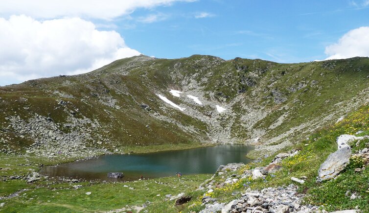
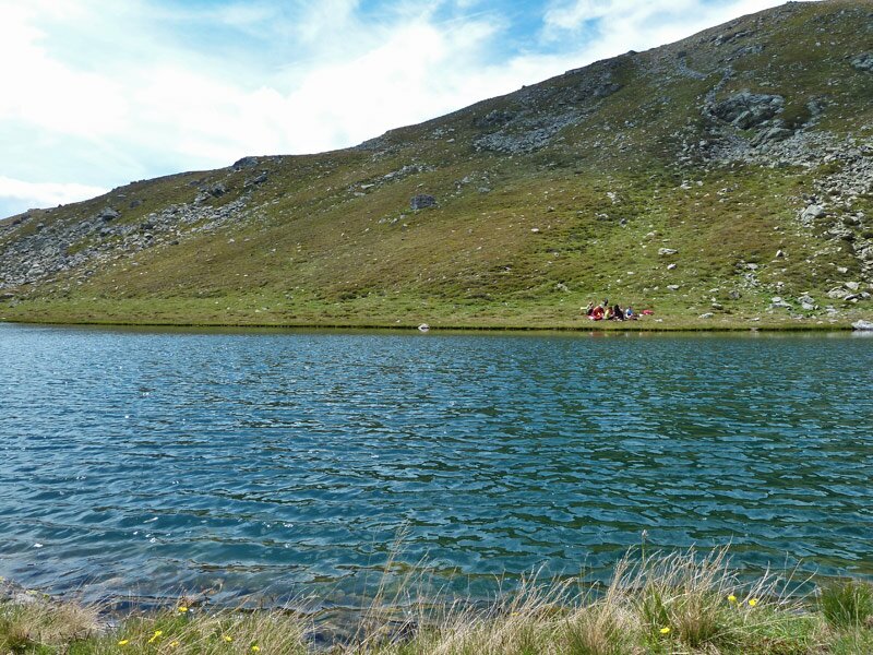
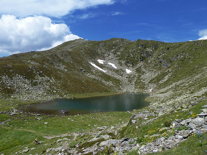
The scenic Lago Rodella sits above Bressanone in the Sarentino Alps at an altitude of 2,250 metres
Image gallery: Hike from Lazfons to the Lago Rodella lake
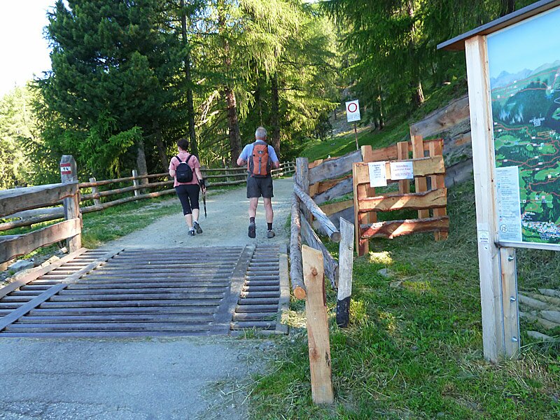
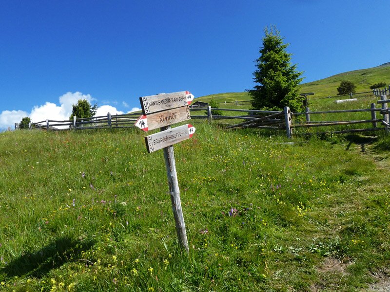


On this warm July day, we chose a peaceful lake as our hiking destination. Starting from the Kühhof near Lazfons, we opt for the simplest available route to the lake. Driving from Velturno, we reach the Kühhof car park via Lazfons. This is the best starting point for the hike to Lake Rodella.
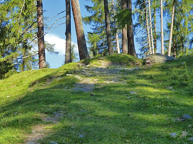
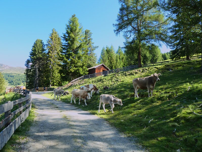
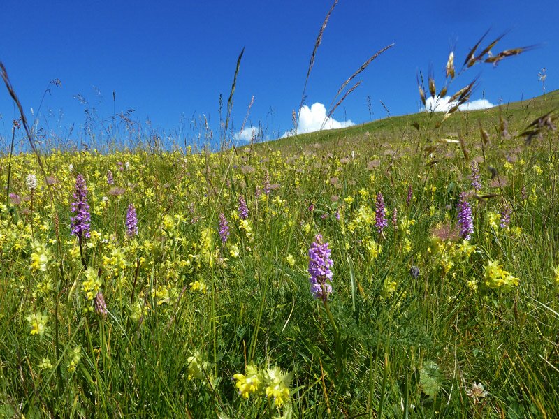
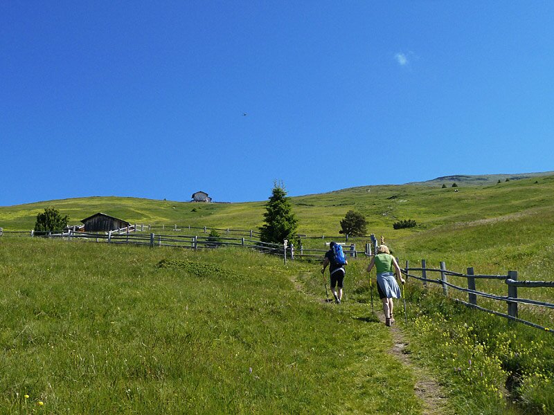
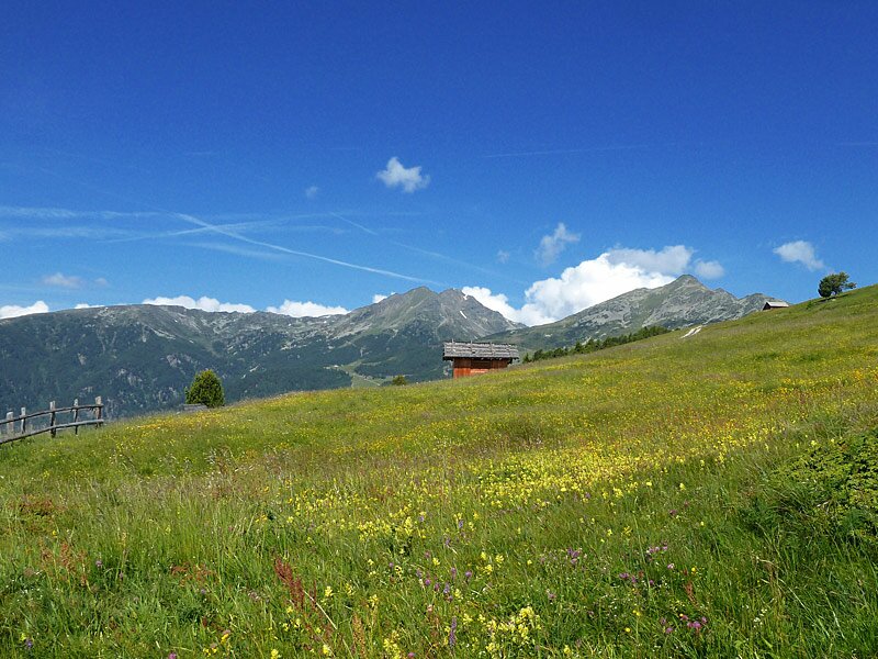
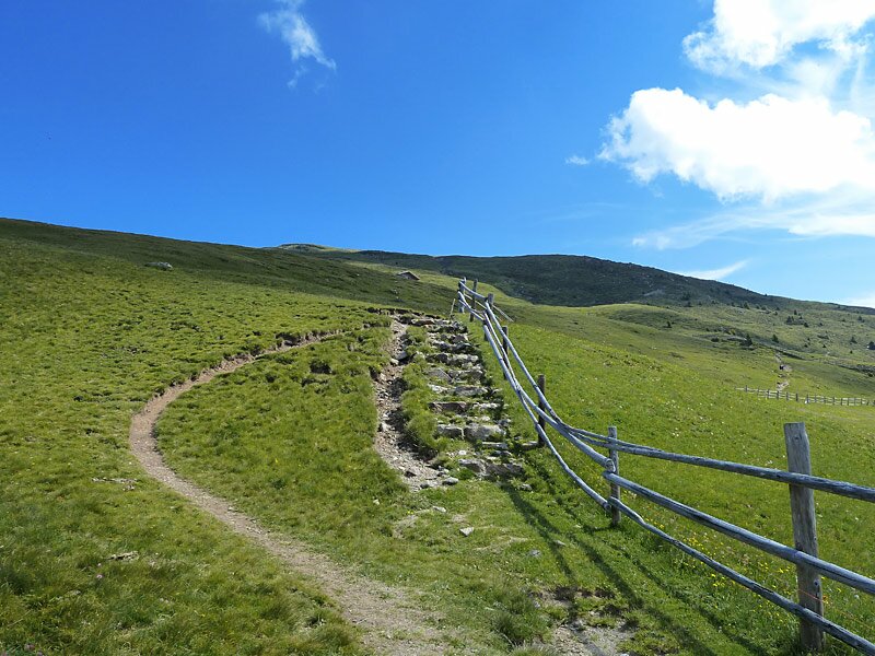
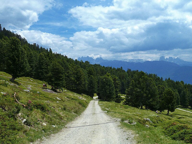
We initially follow path no. 14, which leads up to the alpine pastures through woods and larch meadows. After just under an hour, we arrive at the Brugger Schupfe hut. It sits amidst flowering meadows on the sunny slope of the Valle Isarco, but it has not been operating for several years.
From here, we continue our ascent on path no. 10, which leads directly to Lake Rodella (Radlsee). The lake reveals itself in shimmering shades of blue and turquoise. The Lago Rodella Mountain Hut (Radlseehütte) stands on its shore, inviting hikers to stop for a rest. It is a sunny spot for food lovers and nature enthusiasts right in the middle of the Sarentino Alps.
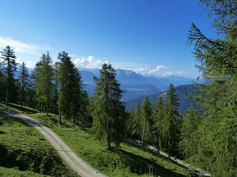
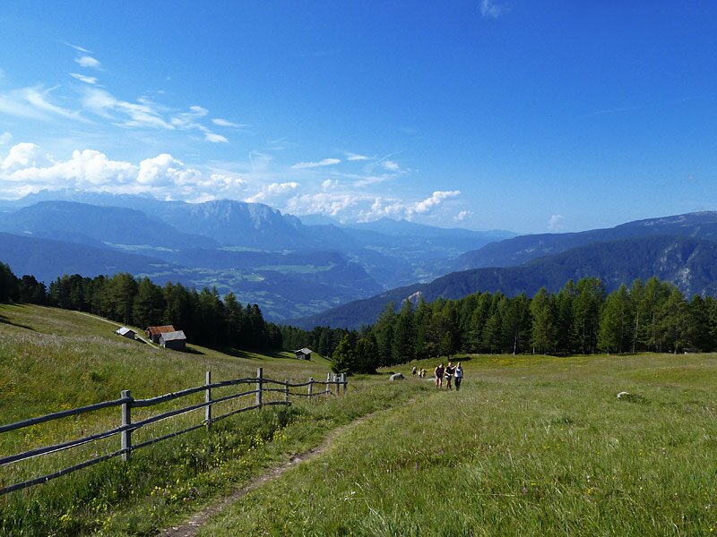
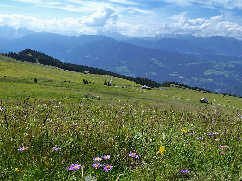
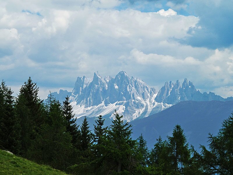
Afterwards, we begin our descent, initially taking the same path. From the Brugger Schupfe, we choose an alternative route. Path no. 10 (Kühhof) first follows the forestry road and then leads into the woods. It brings us directly back to the car park, where we arrive after more than four hours. If you pick a cloudless day for this hike, you can look forward to a magnificent view of the Dolomites.
If you wish to climb a little further from the lake, you can follow the path to the 2,439-metre-high panoramic summit of the Monte del Pascolo (30 minutes and 159 metres of elevation gain for the section from the hut to the summit). We will save this alternative for another hiking day.
Author: AT
Experienced: July 2013
Last updated: 2026
-
- Starting point:
- parking space at the Kühhof near Lazfons (1,573 m a.s.l.)
-
- Overall time:
- 04:15 h
-
- Total route length:
- 11,9 km
-
- Altitude:
- from 1.573 m to 2.284 m
-
- Altitude difference (uphill | downhill):
- +751 m | -751 m
-
- Signposts:
- no. 14, 10
-
- Destination:
- Lago Rodella Hut on the shores of Lake Rodella (2,284 m a.s.l.)
-
- Resting points:
- Lago Rodella Hut (May to October)
-
- Recommended time of year:
- Jan Feb Mar Apr May Jun Jul Aug Sep Oct Nov Dec
-
- Download GPX track:
- Hike from Lazfons to the Lago Rodella lake
-
- More information:
- The overall time shown above refers to the walking time only, not including breaks or stops.
If you want to undertake this hike, we recommend checking the weather and trail conditions in advance and on site before starting this hike!