Asphalt roads, forest tracks and woodland paths: an excursion through the Val di Scaleres to Spelonca on the Varna mountain
Image gallery: Hike from Varna to Spelonca
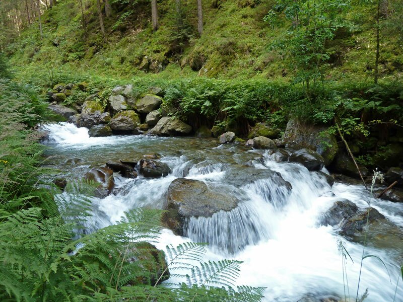
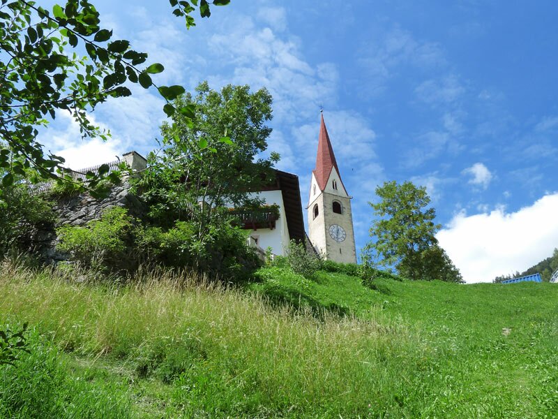
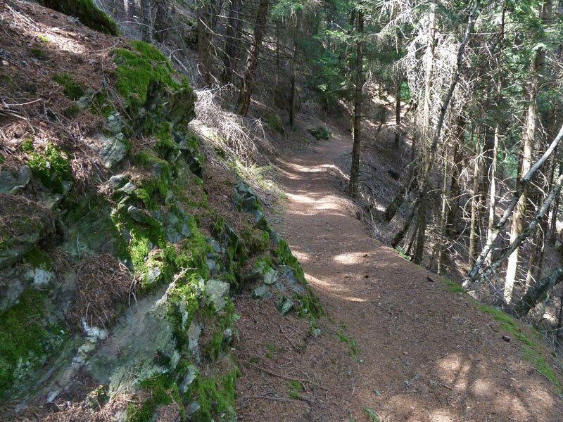
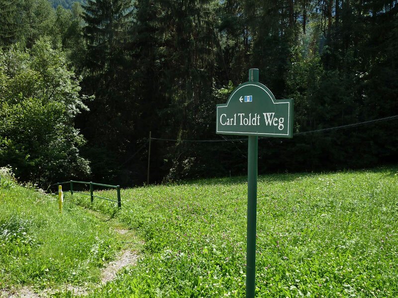
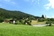
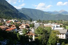
From the village centre of Varna we take the Vicolo Vernaggen road to the starting point of our circular hike at the junction with the Via Carl Toldt road. Heading into the valley on this July day, we walk to higher altitudes to escape the heat. We cross a bridge to the south side of the Rio di Scaleres stream to reach the Georgssteig path, which has been developed into a promenade.
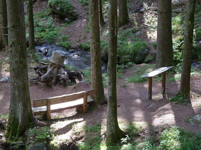
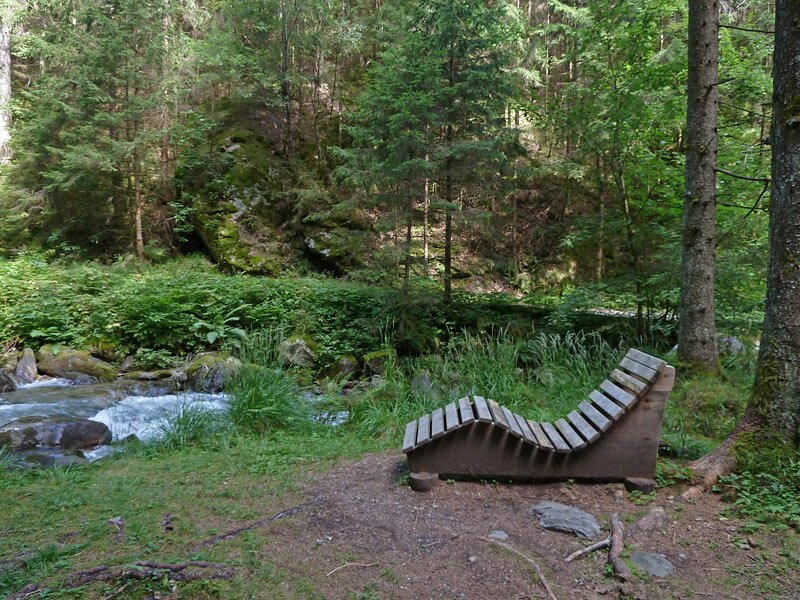
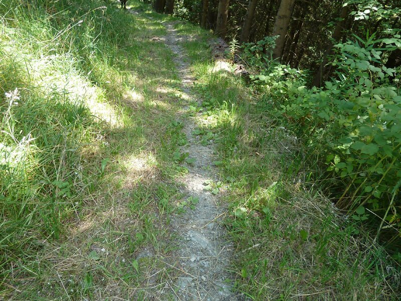
Play areas, information boards about the riverside nature and various tables and benches now line the walking path, making it a popular recreation area for the residents of Varna. We follow the course of the stream through the shady forest for quite a while before crossing to the other side.
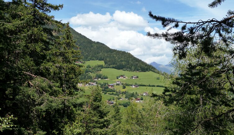
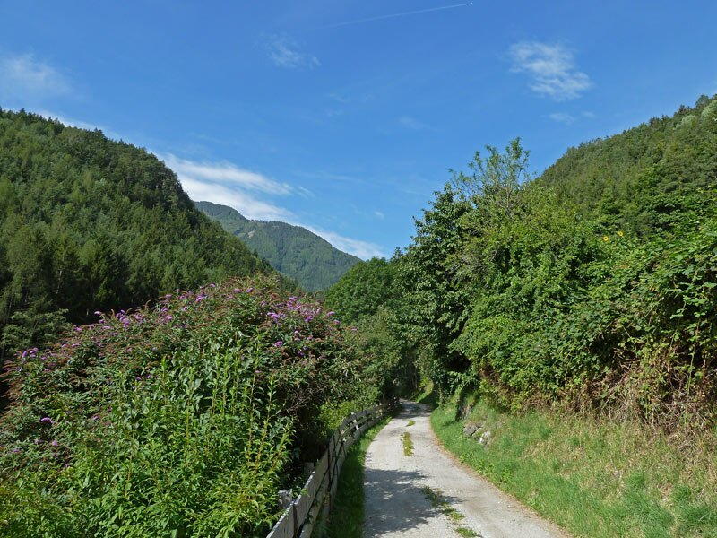
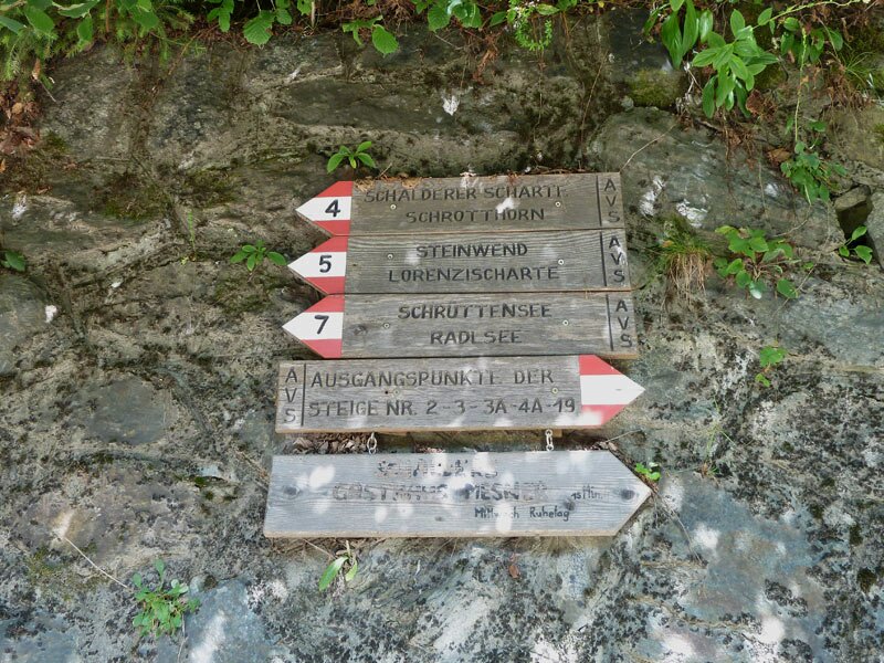
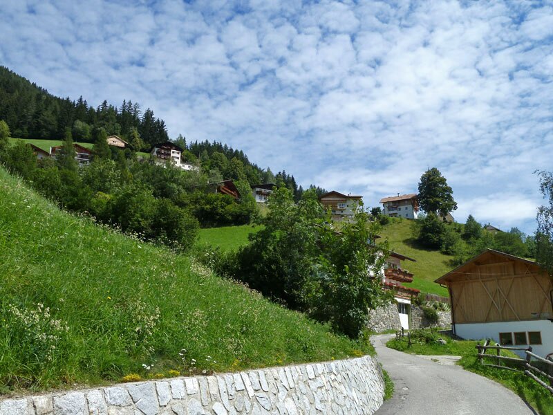
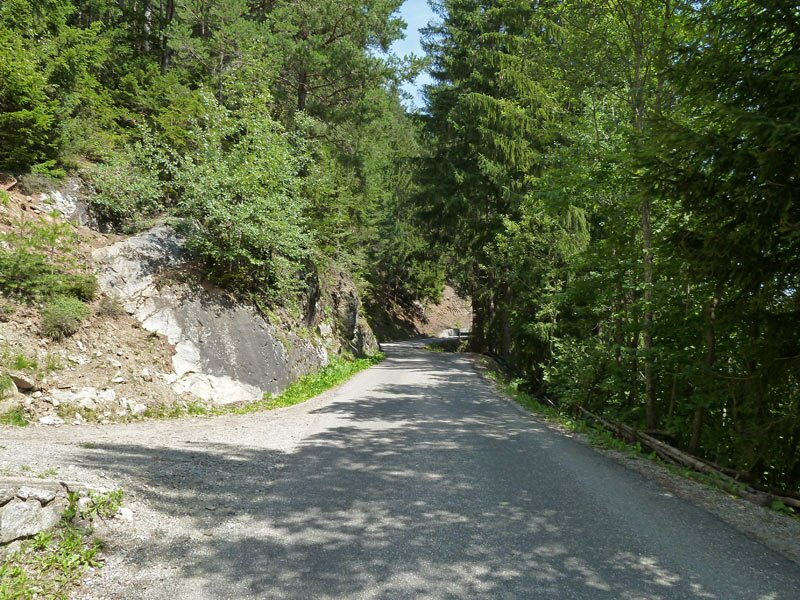
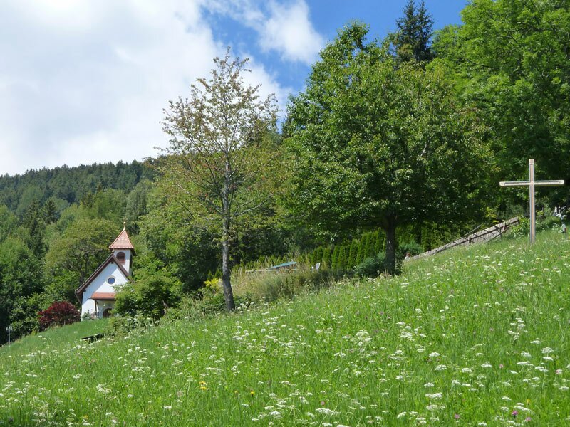
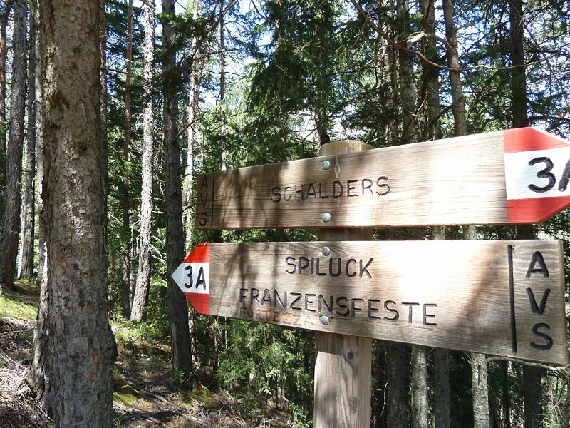
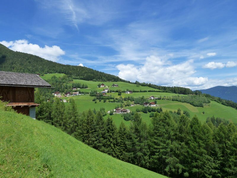
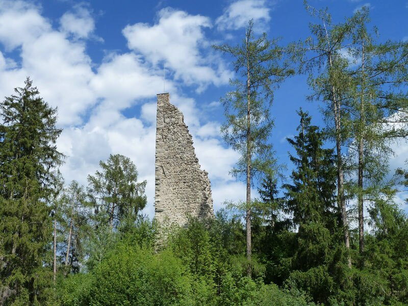
At the level of the festival ground, we join the forest track that leads us up to Bagni di Scaleres. The scattered settlement was built around the beautiful St. Wolfgang Church. After a short break, we follow path no. 3A to Spelonca, where asphalt roads, forest tracks and woodland paths alternate.
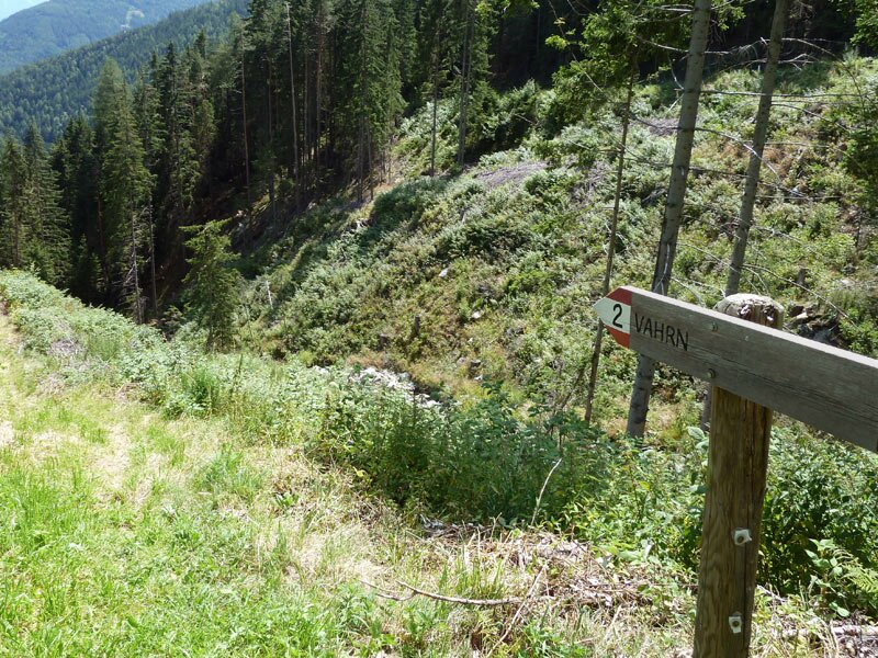
Shortly before reaching the small village, signpost no. 2 points steeply downwards into the Valle Isarco. We now follow path no. 2 alongside the Rio di Spelonca (Spilucker Bach) to return to our starting point in Varna after three and a half hours.
Author: AT
Experienced: July 2011
Last updated: 2026
-
- Starting point:
- Vicolo Vernaggen road in Varna (732 m a.s.l.)
-
- Overall time:
- 03:30 h
-
- Total route length:
- 9,9 km
-
- Altitude:
- from 732 m to 1.320 m
-
- Altitude difference (uphill | downhill):
- +625 m | -625 m
-
- Signposts:
- no. 5, 3, 3A, 2
-
- Destination:
- elevation near Spelonca (1,320 m a.s.l.)
-
- Resting points:
- Mesner inn in Scaleres
-
- Recommended time of year:
- Jan Feb Mar Apr May Jun Jul Aug Sep Oct Nov Dec
-
- Download GPX track:
- Hike from Varna to Spelonca
-
- More information:
- The overall time shown above refers to the walking time only, not including breaks or stops.
If you want to undertake this hike, we recommend checking the weather and trail conditions in advance and on site before starting this hike!