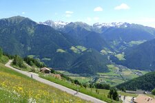
Mt. Corno Biano, also known as Sarner Weisshorn in German, is located in the northern part of the Sarentino Alps


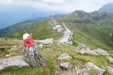
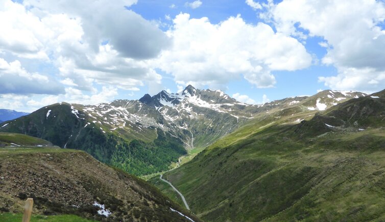
The 2,705 m high Corno Bianco or Penser Weisshorn in the northern Sarentino Alps is located between Sarentino and Valgiovo, a side valley of the upper Valle Valle Isarco: The addition of "Corno Bianco di Pennes" refers to the small village of Pennes at its feet, as another Mt. Corno Bianco is located in the south of South Tyrol. Its slopes descend to the Sennerberg Mountain Hut, the Oberberg Valley in the Val Sarentino and to the Passo di Pennes. Mt. Corno Bianco was climbed in 1822 for the first time. Nowadays, the normal path proceeds from the 2,590 m high Giogo di Frane ridge across the south flank to the summit - a bit of climbing is necessary.
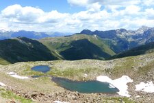
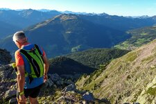
Starting point for this hike can be the Pennes Pass (2.5 hours), the Oberberg Valley (possible also as demanding ski tour) or the Val Passiria valley. The peak is located along the Horseshoe High Route which offers the possibility to hike through the Sarentino Alps within seven days. With its 2,705 m a.s.l., Mt. Corno Bianco is not the highest peak in this area, but it offers a stunning view so that it is well-known as a panoramic mountain. Wonderful paths leads through this area, including the hike to the Steinwandseen lakes and the hike from the Pennes Pass to the "Gänsekragen".