The Passo di Pénnes, at over 2,000 metres high, is an ideal destination with great walks for hot summer days
Image gallery: Hike from the Pénnes Pass to the Gänsekragen

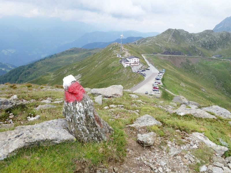
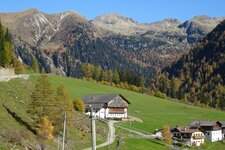
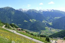
The Passo di Pénnes (Penser Joch) connects the Val Sarentino with the Upper Valle Isarco. It forms the border between the Val Sarentino, the largest municipality in South Tyrol by area, and Campo di Trens in the Valle Isarco. The pass is a popular destination for cyclists and motorcyclists, as well as anyone wanting to avoid the high summer temperatures down in the valley. The journey from Bolzano covers 50 kilometres to reach the car park at the pass height above Pennes.
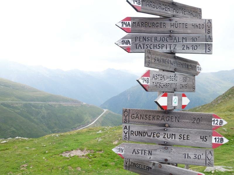
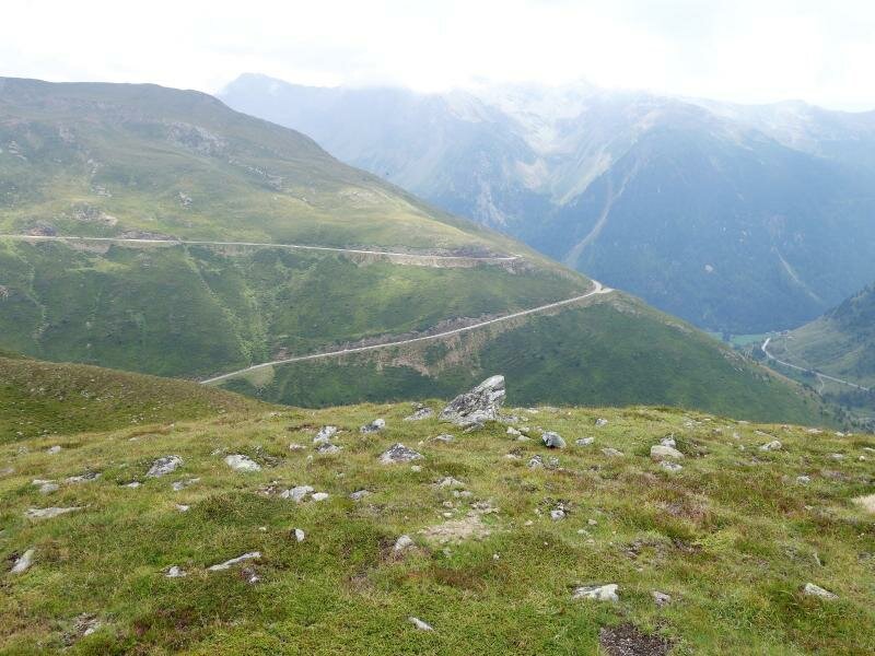
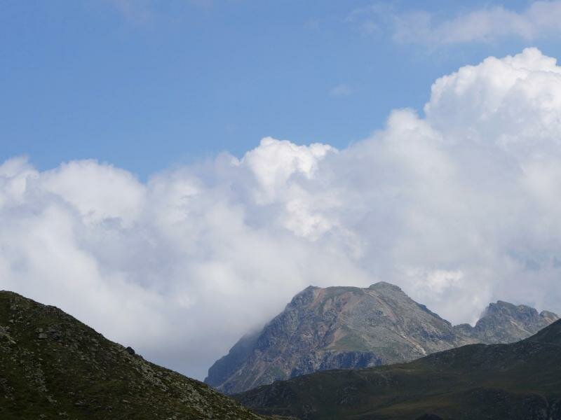
The drive there is already quite scenic. The route leads steadily upwards through the unspoiled Val di Pennes valley, where the meadows turn into alpine pastures and the air becomes noticeably cooler. Starting from the top of the pass, we follow path no. 12A (12B for the opposite direction). The views of the surrounding peaks and the winding mountain road are impressive.
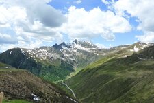
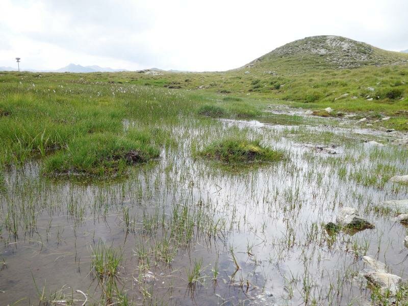
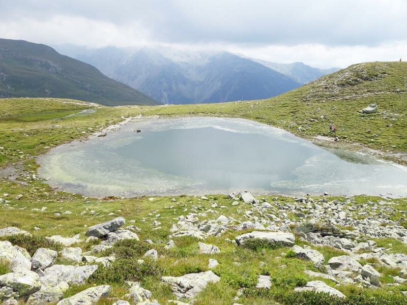
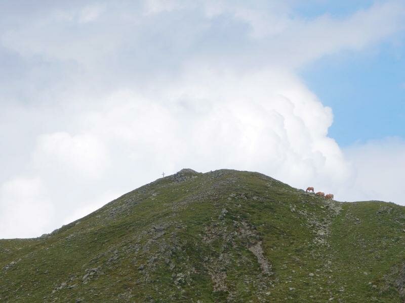
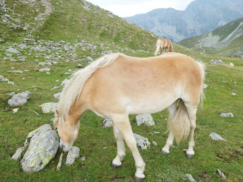
After about 15 minutes, we reach the small Lake Passo di Pénnes at an altitude of 2,220 metres. The path leading up from the lake is narrow and somewhat difficult to spot. A few minutes later, we hear a sharp whistle: A watchful marmot has spotted us. The trail now turns to the right and heads back towards the pass. A narrow path follows the ridge higher and higher, passing Haflinger horses grazing on the summer pastures, until it reaches the highest point, the Gänsekragen.
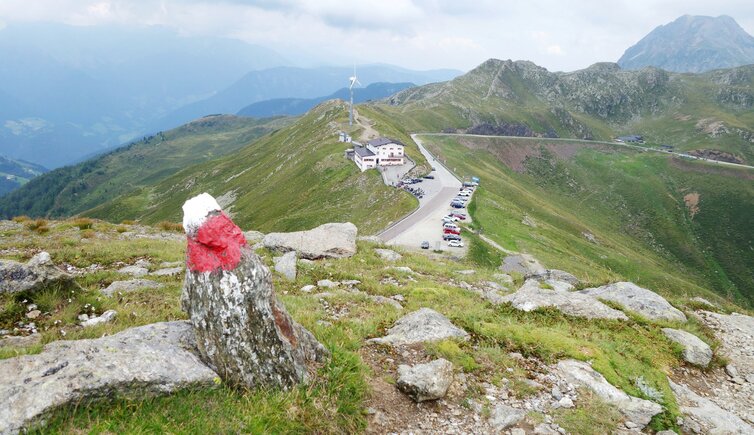
This is a 2,321-metre-high hill above the Passo di Pénnes, featuring a summit cross and the traditional stone cairns. Looking ahead, we can already see the path leading downwards past several former concrete rifle pits. This circular walk in the Sarentino Alps takes about an hour to complete. Including a picnic, we spend a few relaxing hours at Passo di Pénnes. If you like, you can finish the trip with a stop at the Alpenrosenhof inn at the top of the pass.
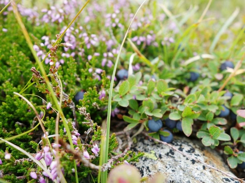
Please remember, as always, to respect nature: Take your rubbish away with you, do not pick alpine flowers, keep your distance from the grazing horses, and avoid making loud noises so the marmots do not feel disturbed. Nature (and the other visitors) will appreciate it!
Author: MS
Experienced: August 2019
Last updated: 2026
-
- Starting point:
- Passo di Pènnes, accessible via the Val Sarentino or the Upper Valle Isarco (2,196 m a.s.l.)
-
- Overall time:
- 01:00 h
-
- Total route length:
- 2,1 km
-
- Altitude:
- from 2.196 m to 2.321 m
-
- Altitude difference (uphill | downhill):
- +125 m | -125 m
-
- Signposts:
- no. 12A (resp. 12B), "Gänsekragen", "Rundweg zum See"
-
- Destination:
- Gänsekragen above the Passo di Pènnes (2,321 m a.s.l.)
-
- Resting points:
- Alpenrosenhof mountain inn (May to October)
-
- Recommended time of year:
- Jan Feb Mar Apr May Jun Jul Aug Sep Oct Nov Dec
-
- Download GPX track:
- Hike from the Pénnes Pass to the Gänsekragen
-
- More information:
- The overall time shown above refers to the walking time only, not including breaks or stops. The Gänsekragen offers a stunning view on the surrounding peaks, on the Val Sarentino and on the Upper Valle Isarco. If you want to extend your hike, you may continue to Mt. Corno Bianco (2.5 hours), to the Forcella Vallaga Hut (4.5 hours) or to Laste in the valley (1.5 hours).
We highly recommend checking the weather and trail conditions in advance and on site before starting this tour.