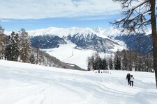
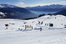
The Via Alpina, a long-distance hiking trail, proceeds through the Sesvenna Alps, a subgroup of the Central Alps - also the Watles, a skiing area and a popular summer excursion destination, rises here
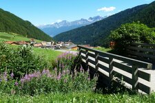
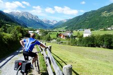
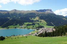
Image gallery: Sesvenna Alps

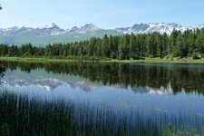
The Sesvenna Alps, called Alpi della Val Müstair in Italian, stretch from South Tyrol until Grisons in Switzerland - and there they are largely embedded in the Swiss National Park - and til North Tyrol in Austria. About two-thirds of the mountains are located on Swiss territory, therefore they are also sometimes called Val Müstair Alps, after the Swiss valley of Müstair. In South Tyrol only one refuge can be found in these mountains, the Sesvenna Mountain Hut at 2,256 m a.s.l. which is managed in summer. It is accessible from Slingia near Malles in the Val Venosta valley.
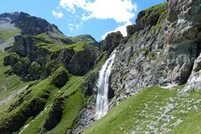
The Slingia Pass or Passo Slingia is the most important transition through the mountains of the Sesvenna Alps and leads hikers until the legendary Uina Gorge in the Engadine. Also the Via Alpina proceeds through the Sesvenna Alps, with one stage in the Lower Engadine and another one towards Tubre in the Val Monastero. The highest summit is represented by Mt. Piz Sesvenna (3,204 m a.s.l.). Also well-known are Mt. Piz Lat, the northern most peak of the mountain group, where the Boundary Stone of the border triangle Switzerland-Italy-Austria is situated, and the Watles, a summer excursion destination and a skiing area, perfectly suited also for a winter hike.
- Highest peak: Mt. Piz Sesvenna (3,204 m a.s.l.)
- Most significant mountains: Mt. Piz Pisoc, Mt. Piz Tavrü, Mt. Piz Plavna Dadaint, Mt. Muntpitschen, Mt. Foratrida
- Area: South Tyrol, North Tyrol (Austria), Grisons (Switzerland)