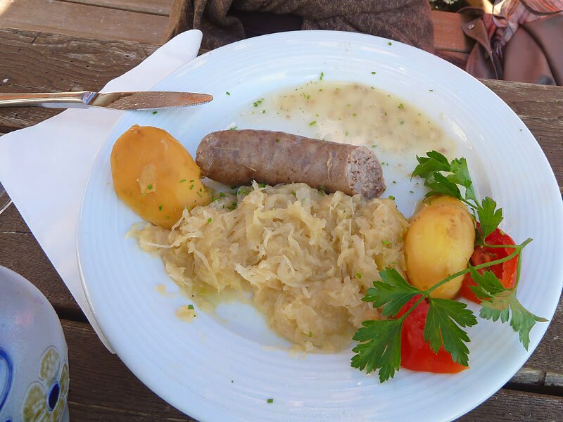
Here, on the stage from Sant’Ingenuino to Chiusa, we set out to discover the area and the traditional Toerggelen
Image gallery: Chestnut Trail, stage 4: Sant’Ingenuino-Chiusa

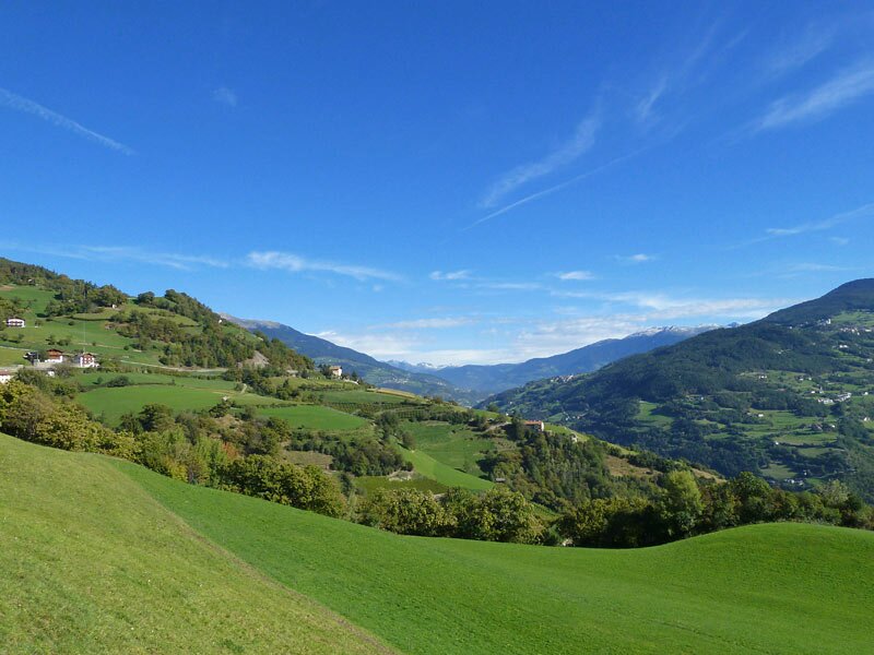
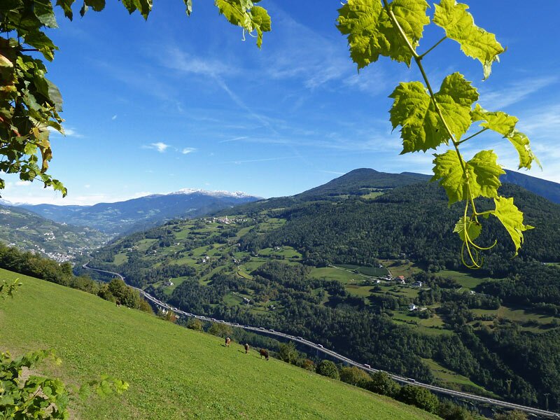
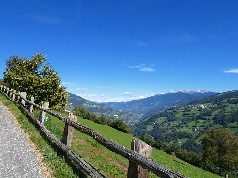
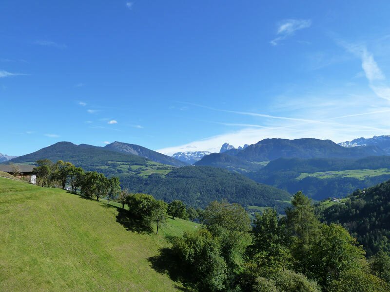
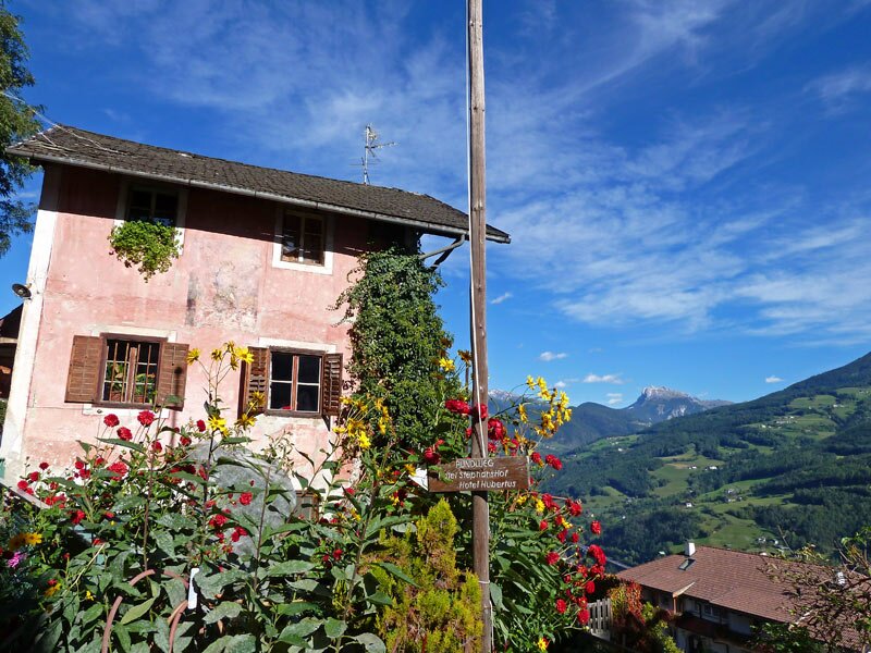
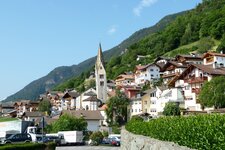
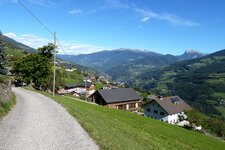
Our fourth stage on the Valle Isarco Chestnut Trail begins at the St. Ingenuinus Church in Sant'Ingenuino (accessible by bus from Chiusa and Ponte Gardena). We head north along the road to Barbiano. The famous leaning church tower, with its inclination of 1.57 metres, catches the eye. We hike upwards past the church to the left, towards Villandro.
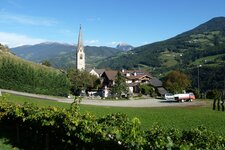
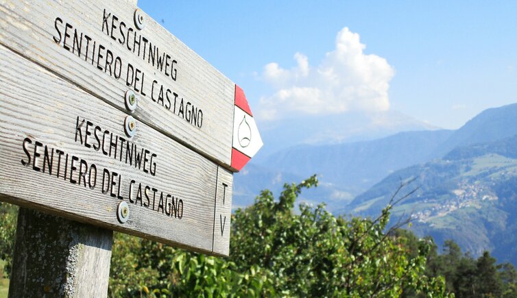
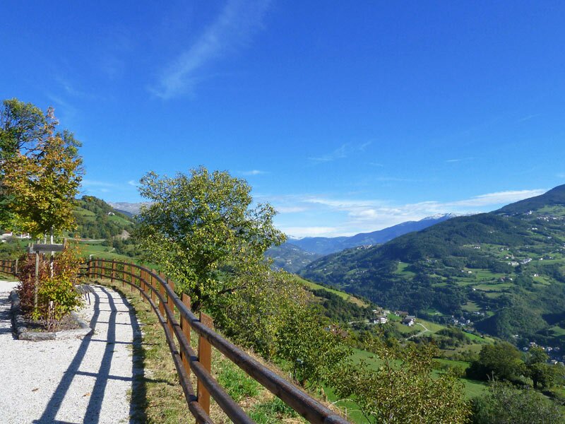
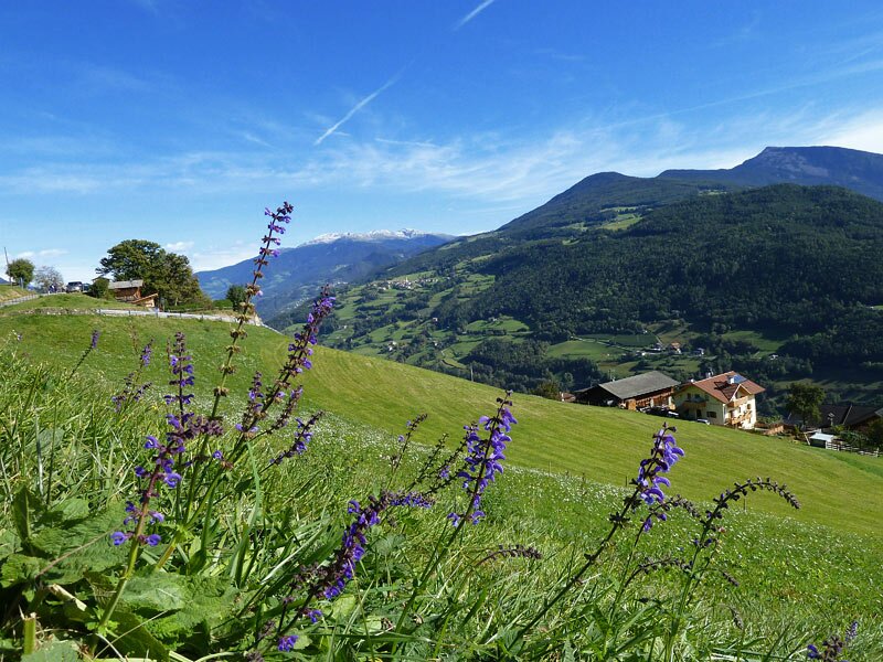
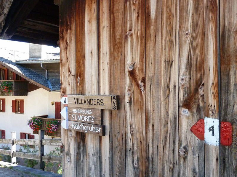
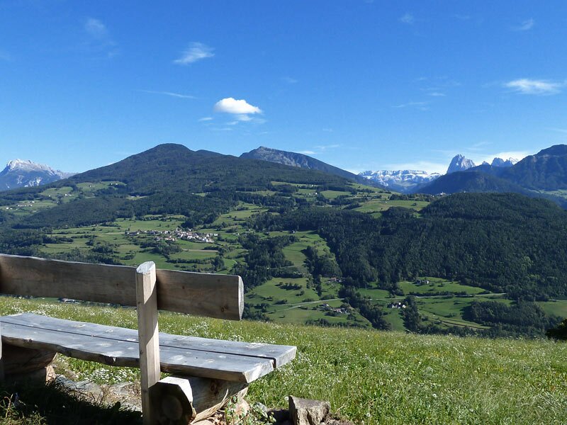
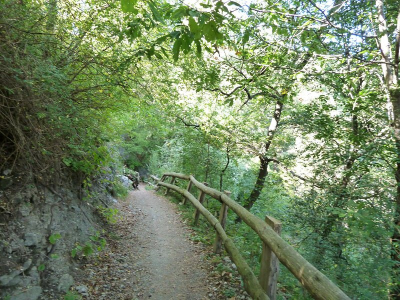
The "Keschtnweg", the Valle Isarco Chestnut Trail, would actually lead here to the small village of San Maurizio near Villandro, also known as Sauders, but this section was closed at the time of our hike. We therefore take a detour via Stofls to Villandro: The path goes upwards through the gorge of the Zargenbach stream. At the Stofls farms, we follow trail no. 4, which leads us across sunny meadows and chestnut forests to the main village of Villandro, Santo Stefano.
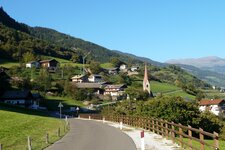
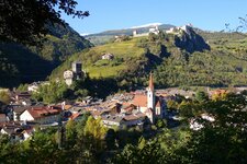
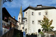
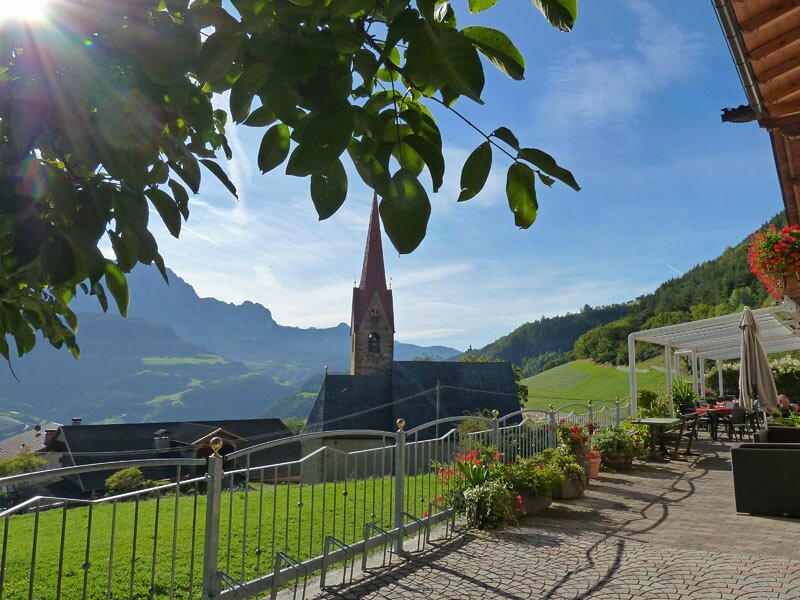
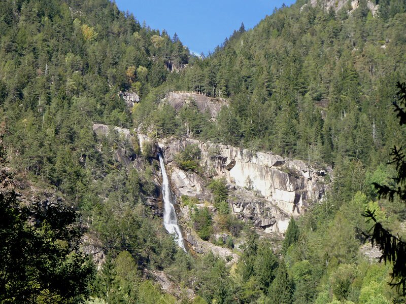
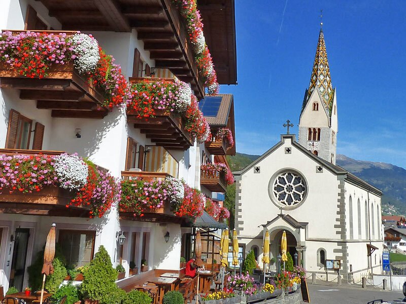
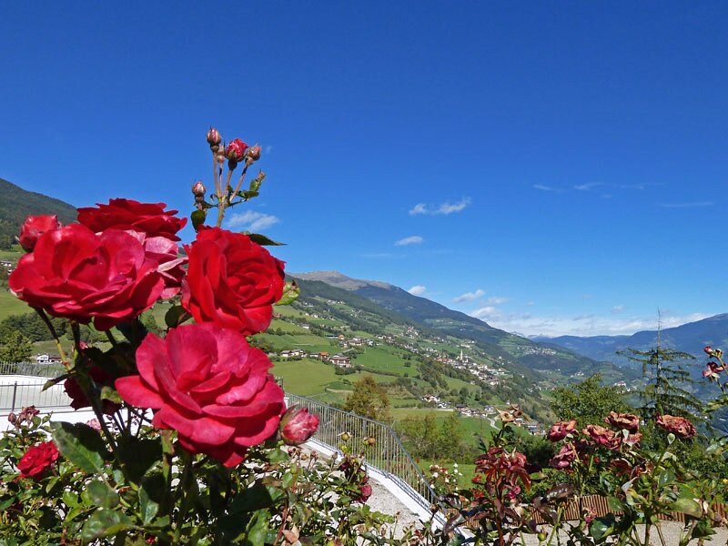
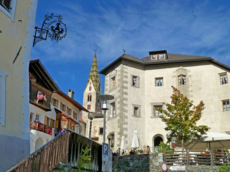
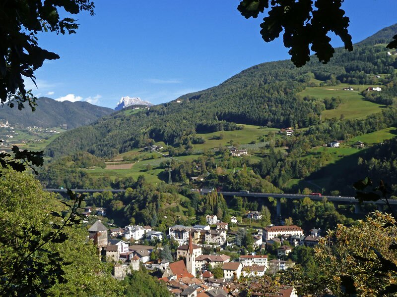
The charming centre of Villandro is characterised by the Church of St. Stephen and old walls. Passing the churches, we continue northwards. At the level of the Sabiona Monastery, the path curves down into the Val di Tinne, where mining was once practised, and then into the picturesque medieval town centre of Chiusa. We have reached the destination of this stage.
Author: AT
Experienced: October 2011
Last update: 2026
-
- Starting point:
- Sant'Ingenuino at Barbiano (800 m a.s.l.)
-
- Overall time:
- 03:45 h
-
- Total route length:
- 12,7 km
-
- Altitude:
- from 522 m to 977 m
-
- Altitude difference (uphill | downhill):
- +664 m | -932 m
-
- Signposts:
- Sentiero del Castagno (Keschtnweg), road to Villandro, no. 4, 3, 3A
-
- Destination:
- Chiusa town centre (500 m a.s.l.)
-
- Recommended time of year:
- Jan Feb Mar Apr May Jun Jul Aug Sep Oct Nov Dec
-
- Download GPX track:
- Chestnut Trail, stage 4: Sant’Ingenuino-Chiusa
If you want to undertake this hike, we recommend you to check the weather and trail conditions in advance and on site before setting out.