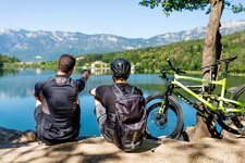
Crisp mountain bike tour from the mild vineyards near Bressanone to the high alpine landscape of the Sarentino Alps
Image gallery: MTB tour to the Santa Croce Mountain Hut
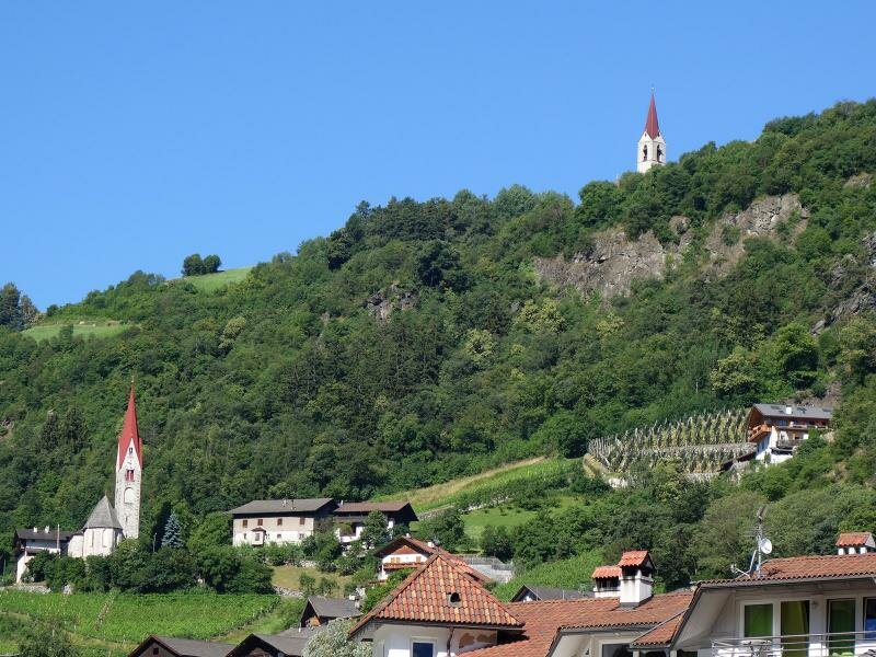
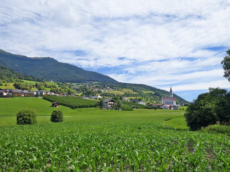
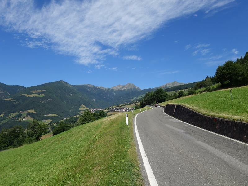
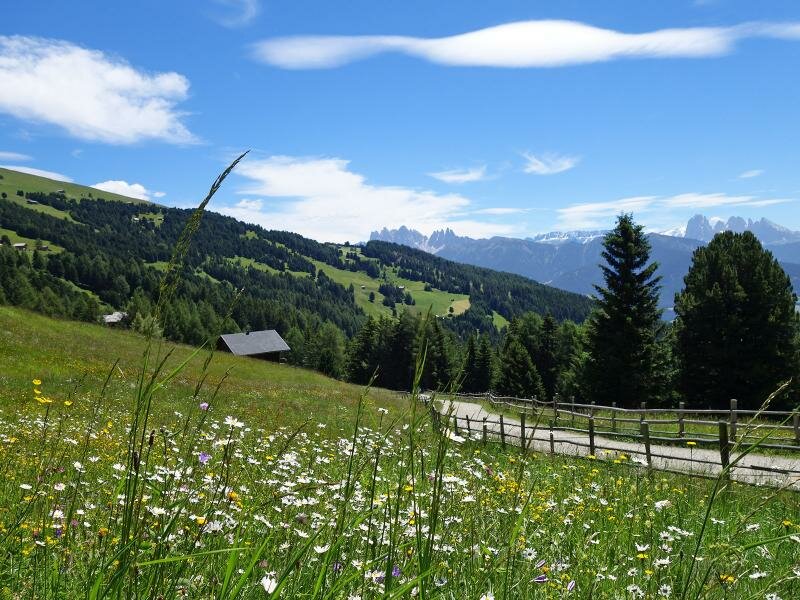
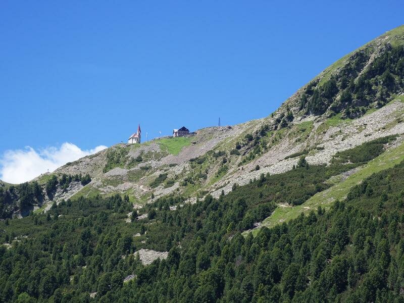
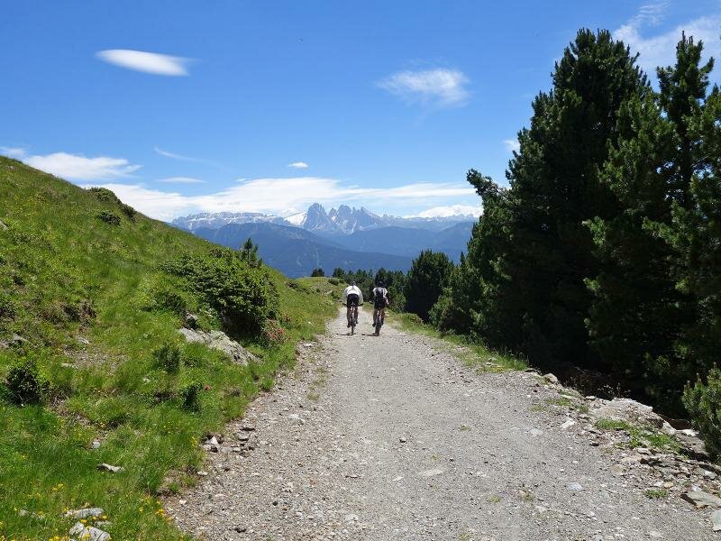
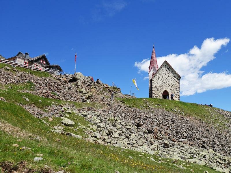
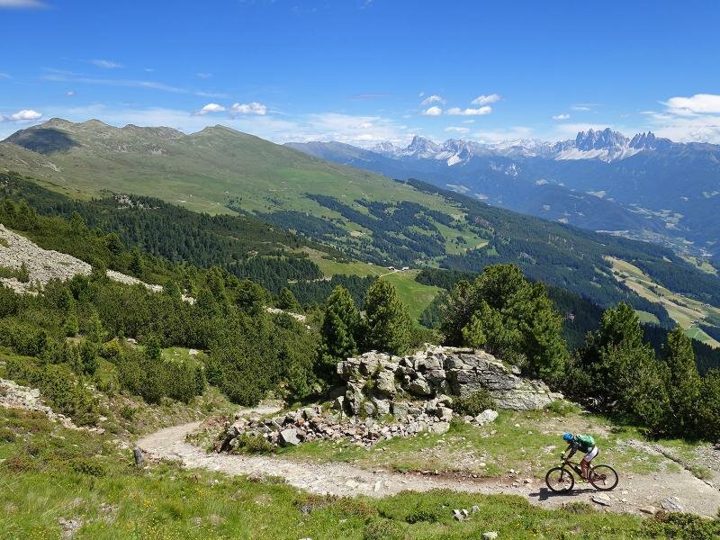
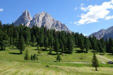
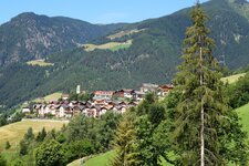
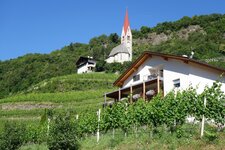
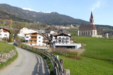
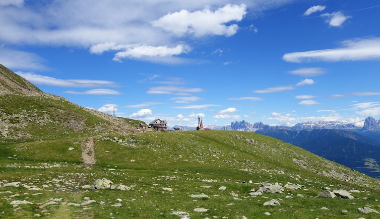
The Croce di Lazfons with church and mountain hut is located at 2,300 m a.s.l. and is a popular excursion destination in the Sarentino Alps. The ensemble, the high alpine landscape above the timberline and the fantastic view on the Dolomites are reason enough to dare this route also by MTB. We start our tour at the bottom of the valley south of Bressanone, at the sports grounds below San Pietro Mezzomonte. Early in the morning, before the sun heats up the valley, we cycle through the wine landscape past San Pietro Mezzomonte up to Velturno village and on to Lazfons.
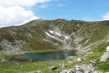
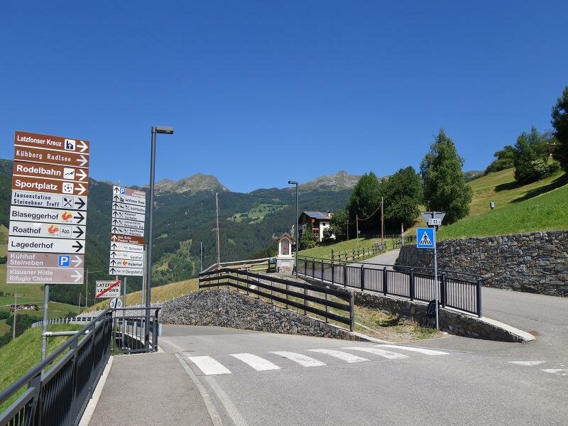
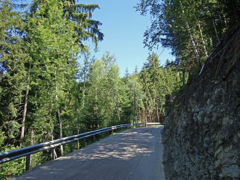
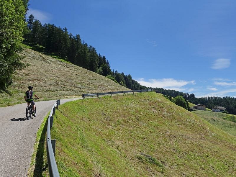
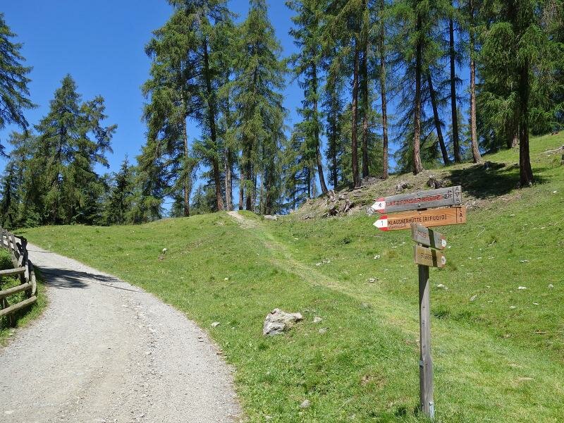
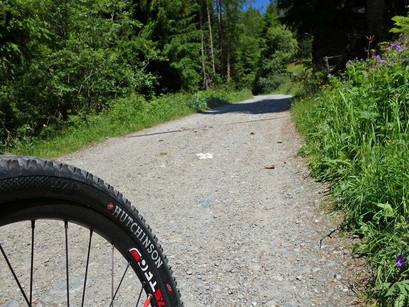
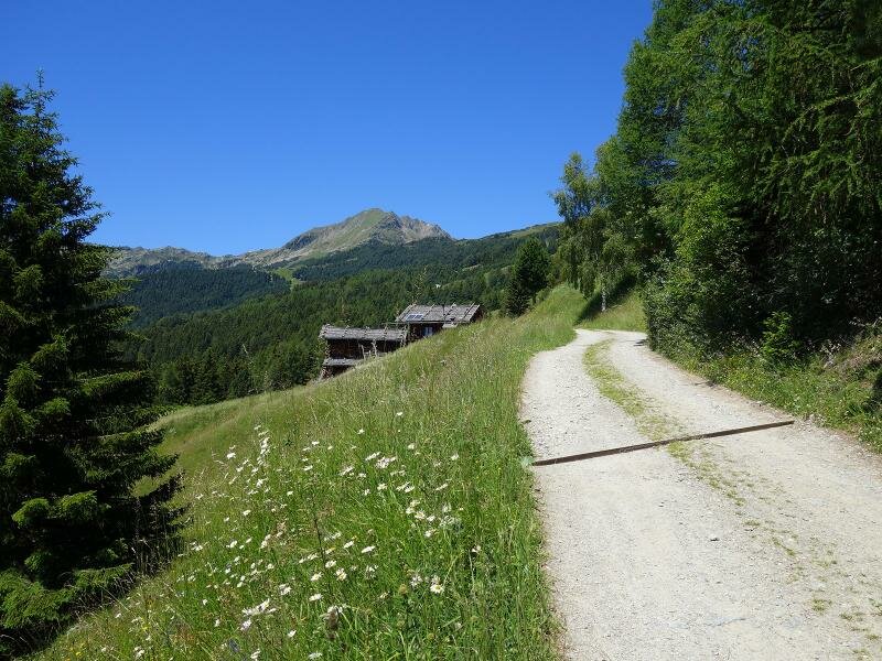
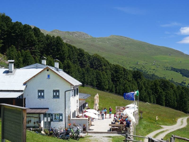
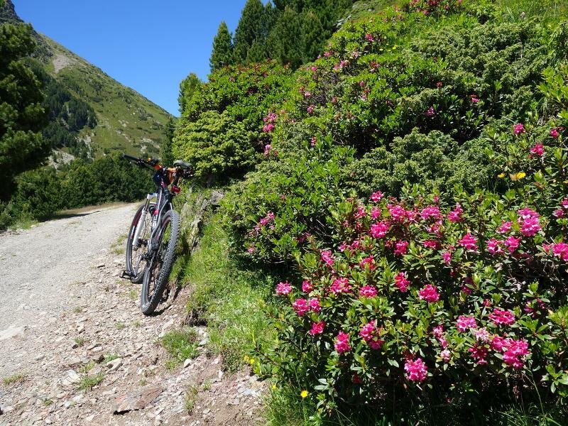
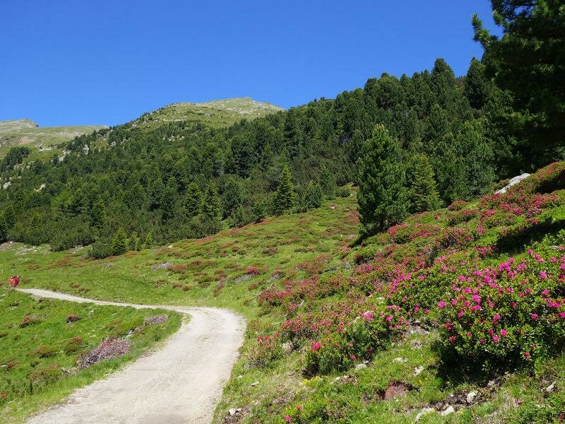
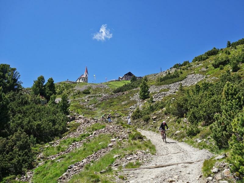
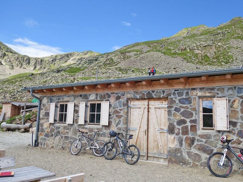
After crossing the village the path to the Kühhof parking space branches off on the right (signpost "Latzfonser Kreuz/Radlsee"). Up to the parking space we cycled on asphalt, but now everything is changing. Following the signpost no. 1 we cycle on the gravelled forest path to the Chiusa al Campaccio Hut. The trail is easy to drive, it runs steadily uphill, but without steep ascents. Coniferous forests and alpine meadows alternate, after the Rif. Chiusa the path becomes a little steeper up to the Rungger Huts, where the 2,000-metre mark is located. Another 2 km we can still drive well from here, then the path gets stonier, the gravel road turns into a mountain path.
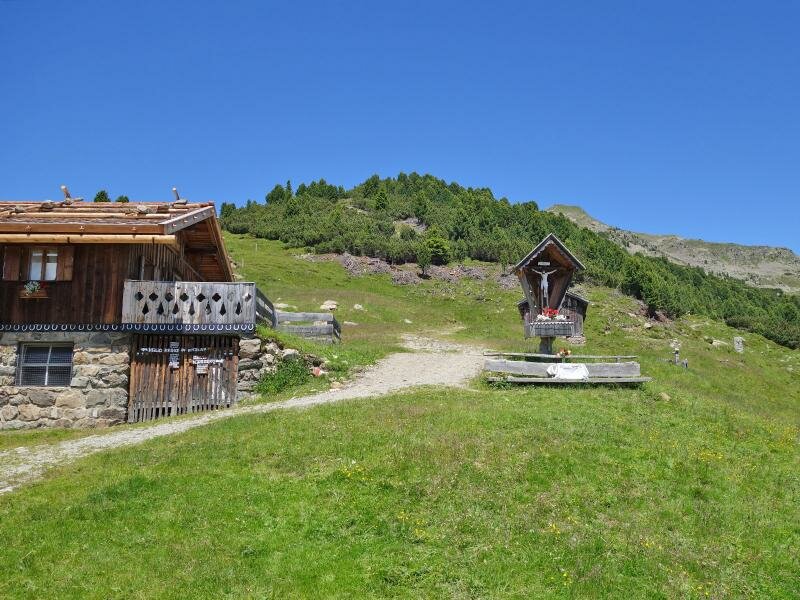
On the last km up to the mountain hut it becomes exhausting and continuous driving is hardly possible anymore. A little pushing, however, is no disgrace on such washed-out and steep terrain. At the top we enjoy the view on the Dolomites and of course a deserved lunch. For our descent we take the same route. Short variant: Who wants to shorten the tour and drive as a pure MTB tour (only forest roads and mountain paths), can drive by car to Lazfons up to the parking space Kühhof and start from there. Kilometres, altitude difference and driving times are reduced by 60%.
Author: AT
-
- Starting point:
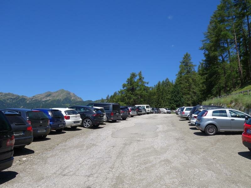
- Valle Isarco Cycle Path south of Bressanone, junction sports grounds Schrambach
-
- Overall time:
- 05:50 h
-
- Total route length:
- 39,6 km
-
- Altitude:
- from 540 m to 2.298 m
-
- Altitude difference:
- +1791 m | -1791 m
-
- Route:
- Schrambach, state road 74 to Velturno, state road 142 to Lazfons, road to the Kühhof parking space, path no. 1 to the Rif. Chiusa mountain hut and to the Croce di Lazfons
-
- Destination:
- Croce di Lazfons Mountain Hut
-
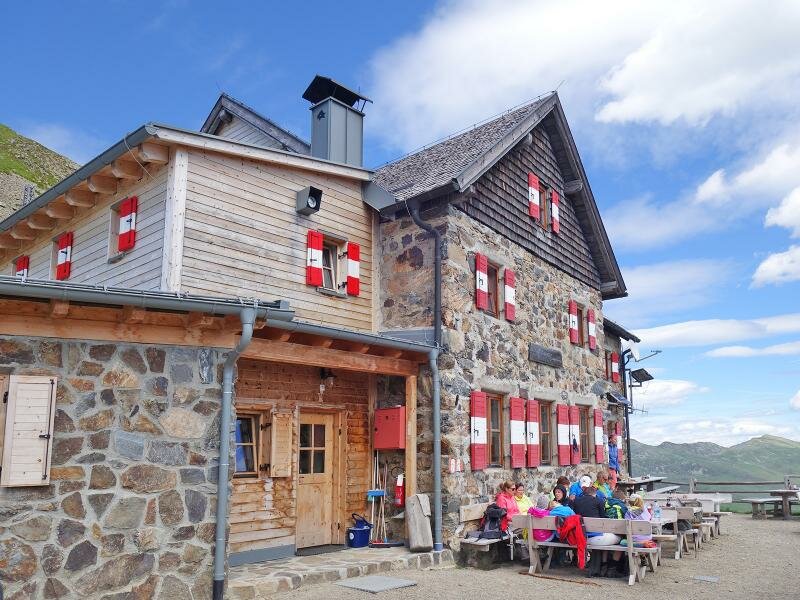
- Resting points:
- Klausner Hütte, Croce di Lazfons Mountain Hut
-
- Recommended time of year:
- Jan Feb Mar Apr May Jun Jul Aug Sep Oct Nov Dec
-
- Download GPX track:
- MTB tour to the Santa Croce Mountain Hut
If you want to do this tour, we suggest you to check the weather and trail conditions in advance and on site before setting out.