Not only for geologists - this path, called “Geologensteig” in German language, offers interesting stations with plenty of information
Image gallery: Hike on the Geologists Trail
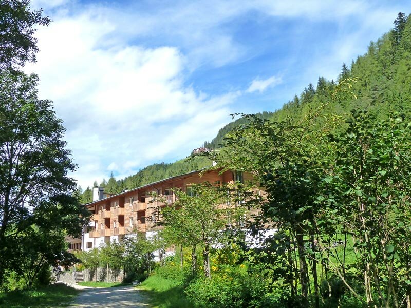
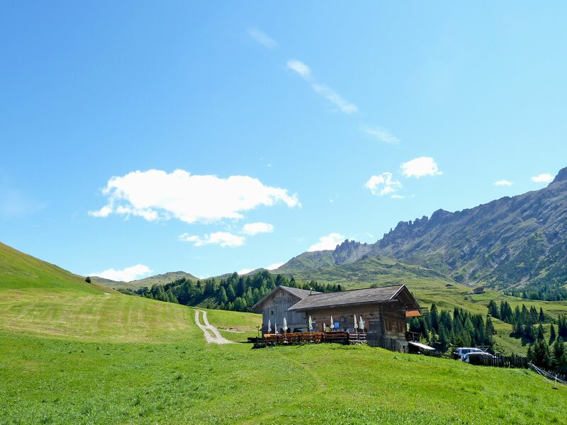
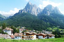
In 2006 the Geologists Trail was newly arranged, it connects the village Bagni di Razzes (Bad Ratzes; 1,210 m a.s.l.) near Siusi allo Sciliar with the Prossliner Mountain Hut (Prossliner Schwaige, 1,740 m a.s.l.) at the western side of the Alpi di Siusi.
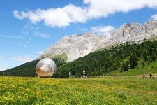
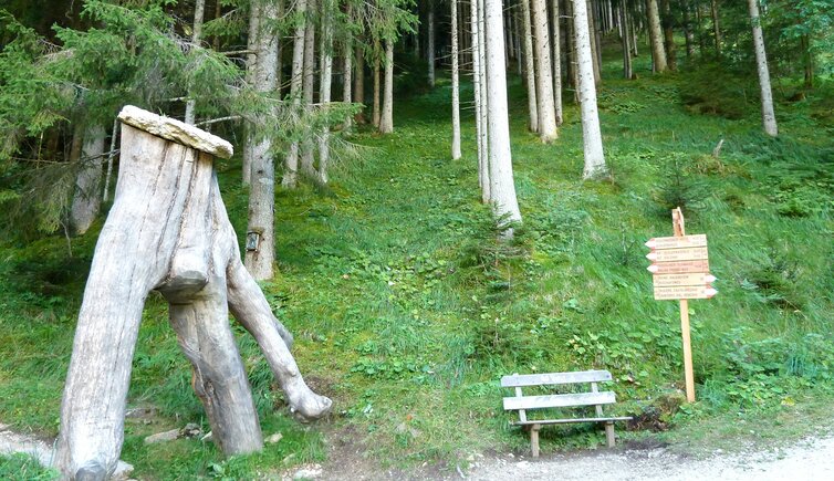
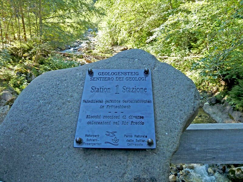
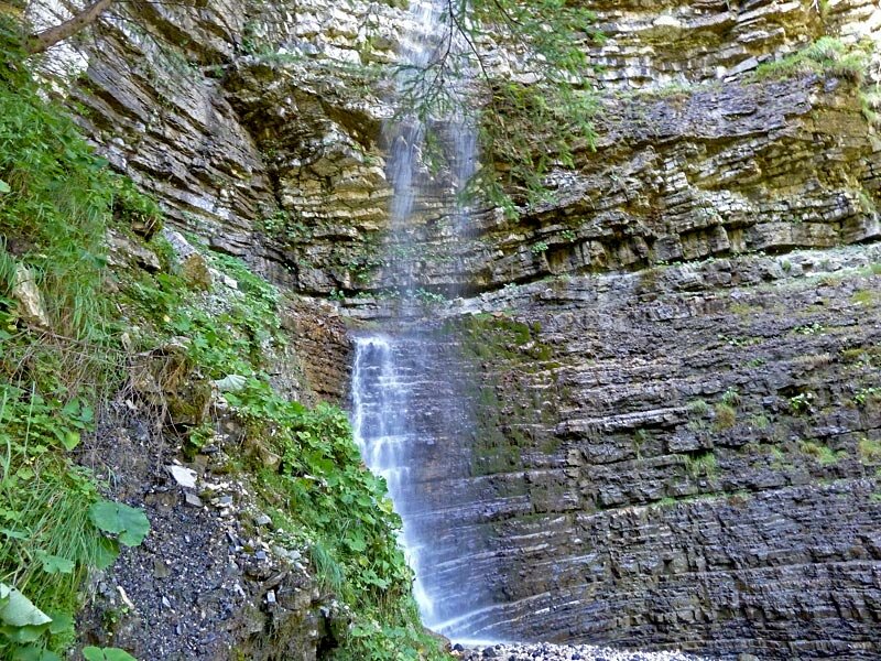
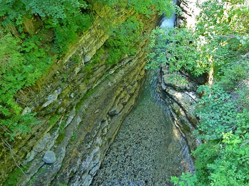
The South Tyrolean office for nature parks has equipped the path with 10 information panels to inform about the well shown rock layers in this area. The path proceeds along the Rio Freddo brook. Our starting point is the parking space at Bagni di Razzes where we cross the bridge across the Rio Freddo and follow the marker no 1 and 1A towards the Prossliner Mountain Hut. Past waterfalls we walk through the wild gorge up to 1,740 m a.s.l., here we are at the edge of the meadows of the Alpi di Siusi with a gorgeous view on Siusi and Mt. Sciliar.
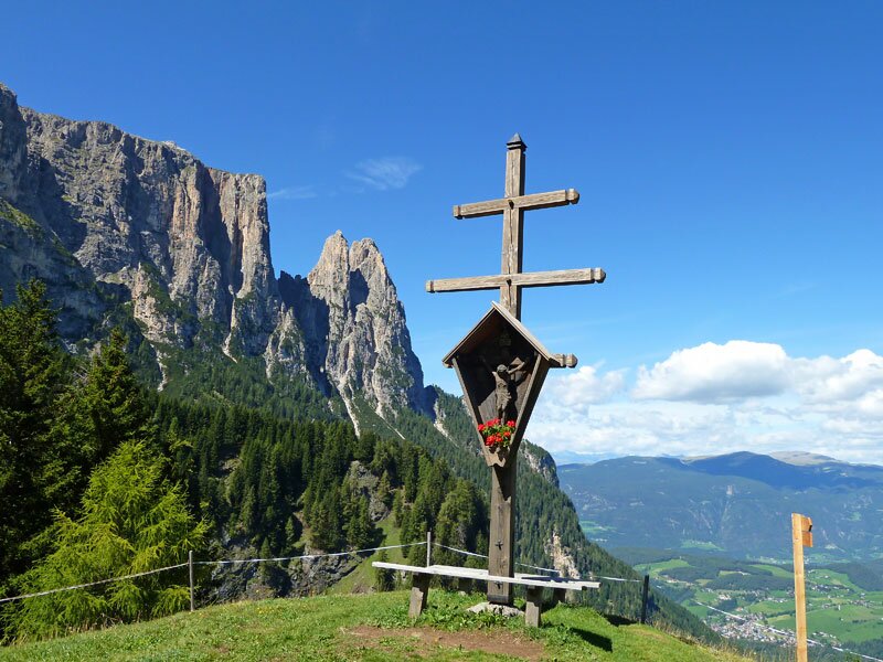
For the way back two alternative possibilities exist - either you walk back to Siusi via the Bellavista hill (Spitzbühel) and Compaccio or you take the path at the right side, via the Sciliar Mountain Hut (Schlernboden-Hütte) back to Bagni di Razzes (marker no. 1).
Author: AT
-
- Starting point:
- Bad Ratzes
-
- Overall time:
- 02:40 h
-
- Total route length:
- 6,9 km
-
- Altitude:
- from 1.210 m to 1.741 m
-
- Altitude difference:
- +531 m | -531 m
-
- Route:
- Sentiero geologico
-
- Signposts:
- 1, 1A
-
- Destination:
- Prossliner Schwaige mountain hut
-
- Resting points:
- Prossliner Schwaige mountain hut
-
- Recommended time of year:
- Jan Feb Mar Apr May Jun Jul Aug Sep Oct Nov Dec
-
- Download GPX track:
- Hike on the Geologists Trail
If you want to do this hike, we suggest you to check the weather and trail conditions in advance and on site before setting out.