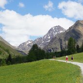
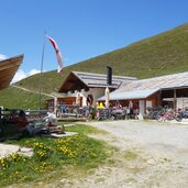
The hike to the Planol Hut combines the impressive Val Venosta mountain landscape with the enjoyment of South Tyrolean delicacies
Image gallery: Planol
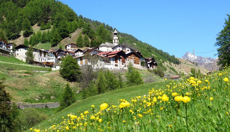
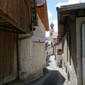
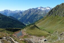
On the far western edge of the Oetztal Alps, you often hear the name Planol: It is a hamlet of Malles Venosta in the Valle di Planól, right in the heart of the Planol Mountains. There, mountain giants like the Cima dei Corvi and the Punta di Valbennaria, both well over 3,000 metres high, soar into the sky. In the entire valley, there is only one small village, the aforementioned Planol.
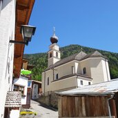
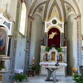
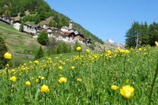
The village has its own primary school and tightly packed houses clustered around the Parish Church of St. Nicholas. Hardly touched by tourism, Planol (Planeil) is nevertheless a popular destination for day trips. Via the alpine trail number 6, you can ascend to the Forcella di Planol wind gap and from there continue to Melago in the Vallelunga valley near the Austrian border. As the Val Venosta is well connected by local public transport, returning by local bus is also an option.
The small valley on the western edge of the mighty Mt. Palla Bianca is drained by the Rio Puni stream, which flows on to Malles and then into the Adige River. Another popular hike in this high valley takes you along the Val Venosta High Route from the centre of Mazia to Planol, offering views of one of the most beautiful valley sections in the Val Venosta.
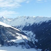
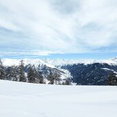
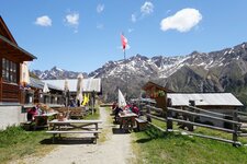
Also of interest is the circular hike to the Planol Hut, which combines nature experiences with the enjoyment of delicious South Tyrolean dishes under the Val Venosta sun. In winter, the valley disappears under a blanket of snow and becomes a destination for winter hikers and ski tourers.
