Circular hike from Planol to the Planol Mountain Hut and via the valley path back to the village: We discover the diverse natural landscape of one of the westernmost high valleys of the Oetztal Alps
Image gallery: Circular hike to the Planol Mountain Hut
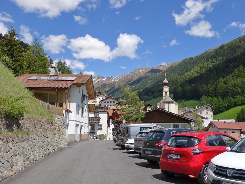
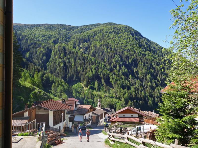
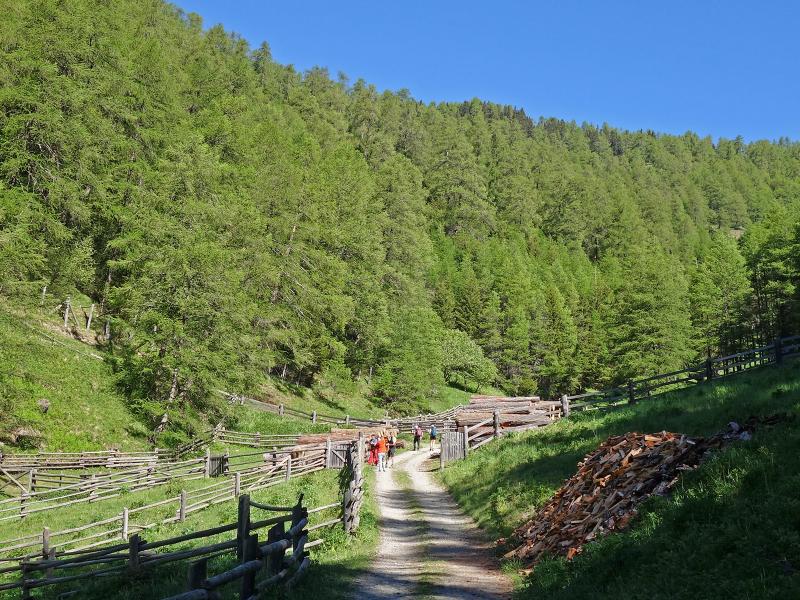
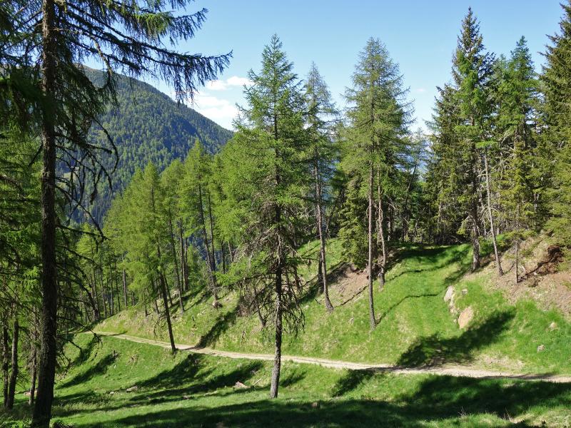
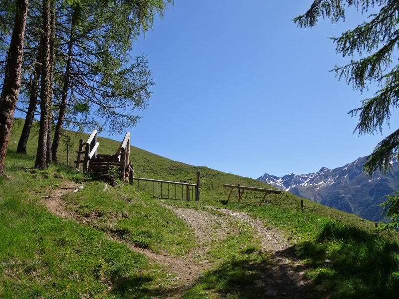
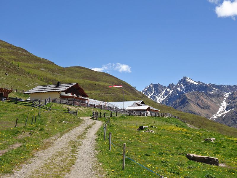
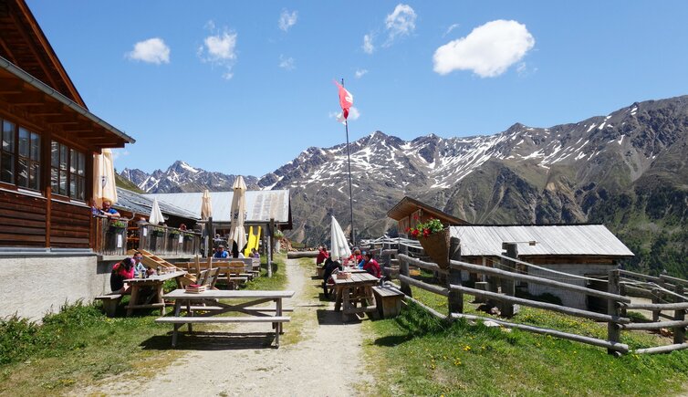
The car park at the mountain village of Planol (Planeil) in the municipality of Malles is the starting point of our circular hike to the Planol Mountain Hut (Planeiler Alm) and through the lower Planol Valley. In the centre of the village we follow the marker no. 10, which immediately leads uphill through a steep valley towards north. The forest path, which leads through a larch forest, is later replaced by a path which we follow towards the hut. Finally we reach the extensive alpine meadows, the path becomes flatter and ends in a driveway that leads to the mountain inn.
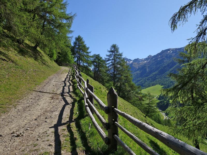
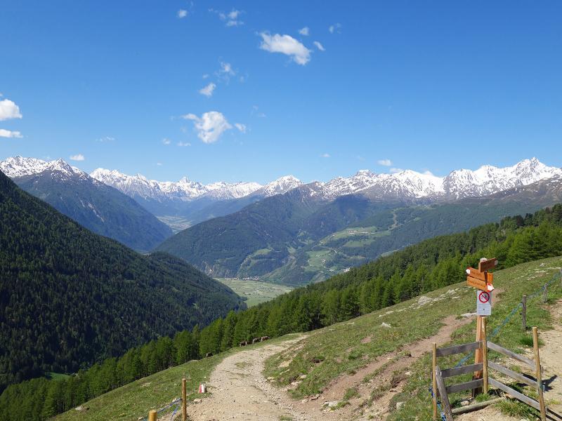
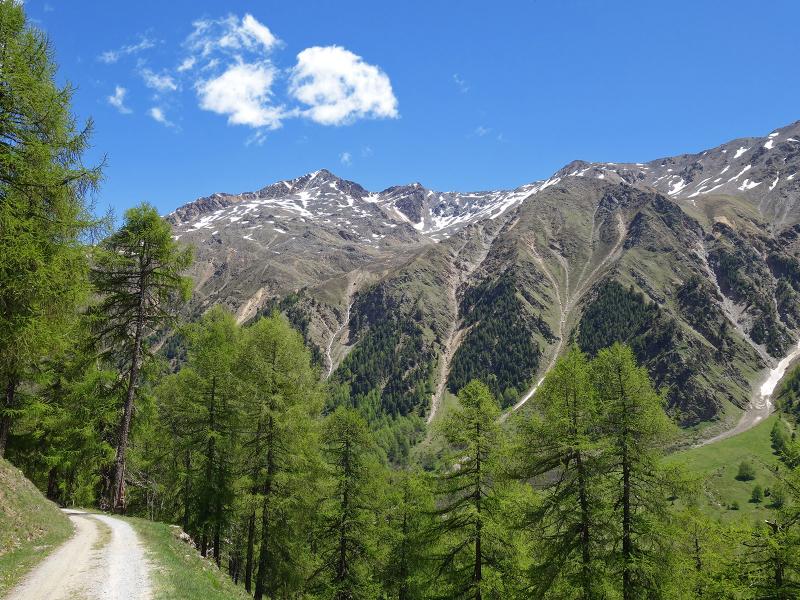
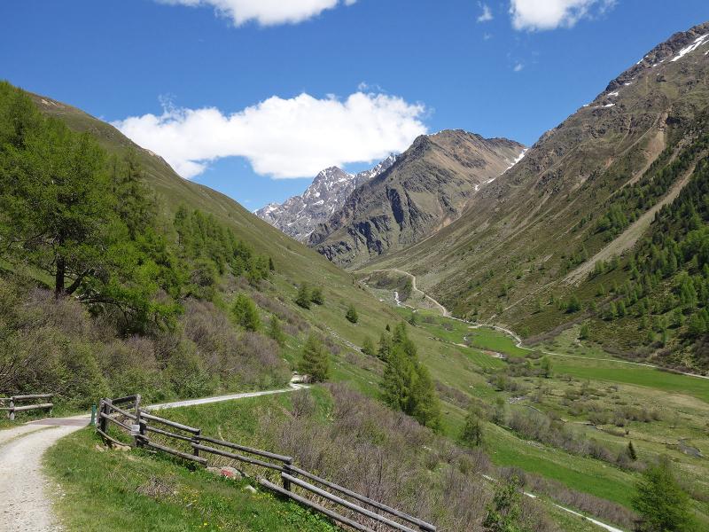
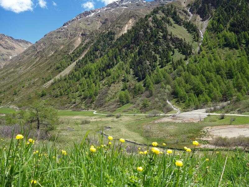
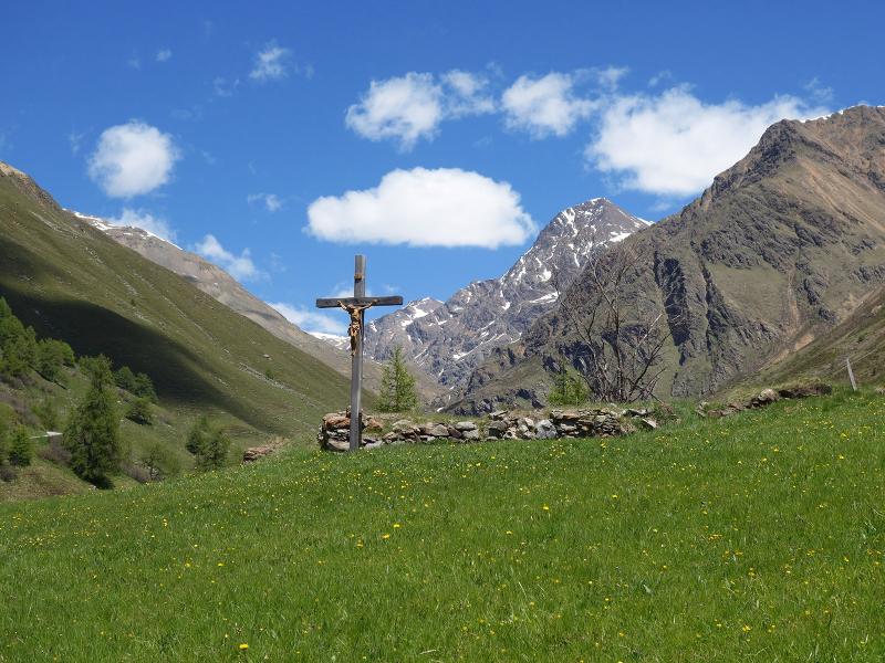
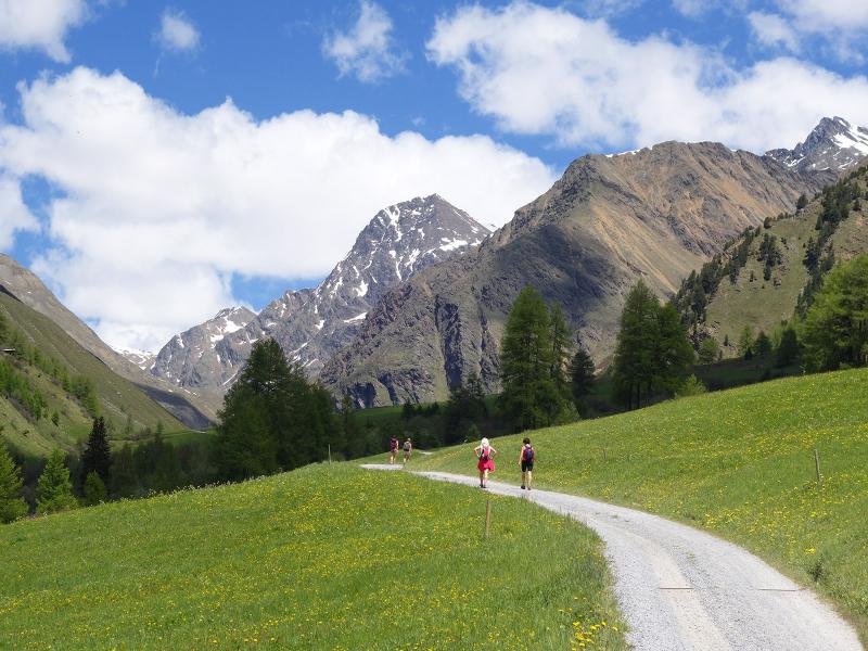
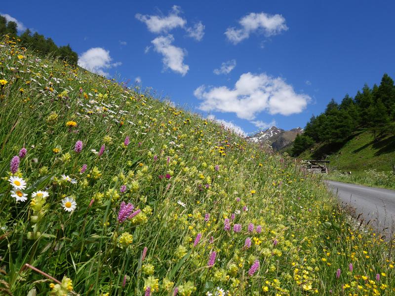
It took us about 2 hours to get here. The mountain inn offers traditional Tyrolean delicacies and therefore a good opportunity for an extended break. Impressive is the view with the Valvel peaks towards the inner valley - in western direction we can see up to the mountains in the Swiss Val Müstair. For the descent we choose the alpine path, which leads downhill a little deeper into the valley to the Petasettes Biotope and from there on the valley floor down to Planol.
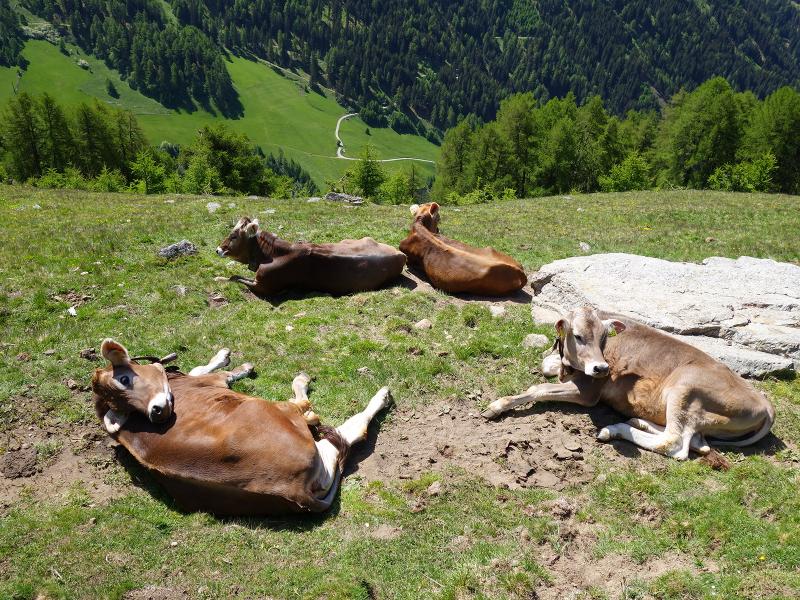
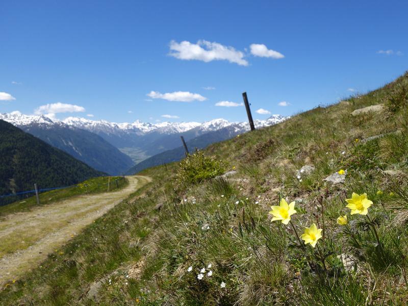
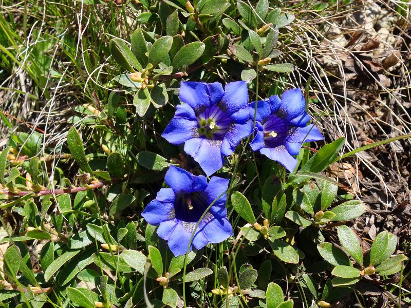
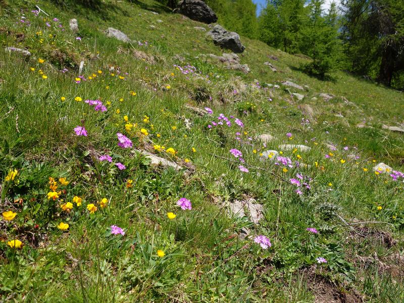
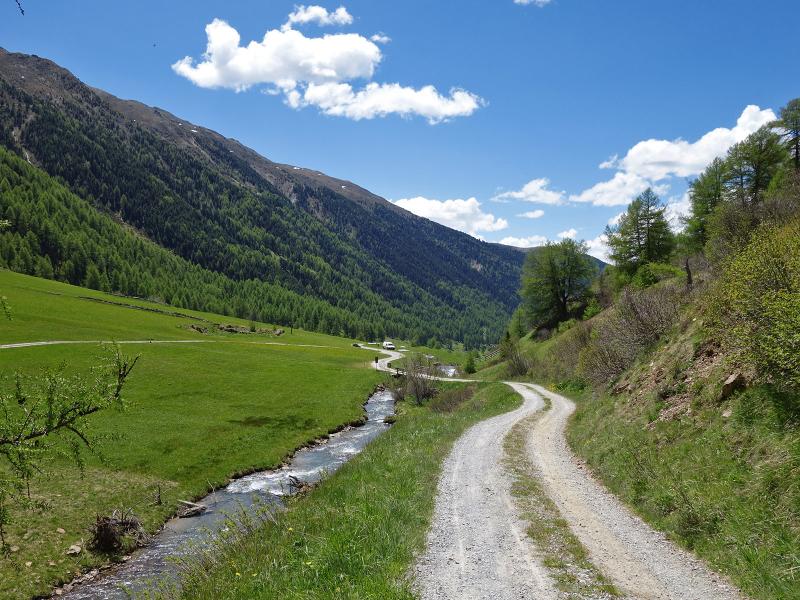
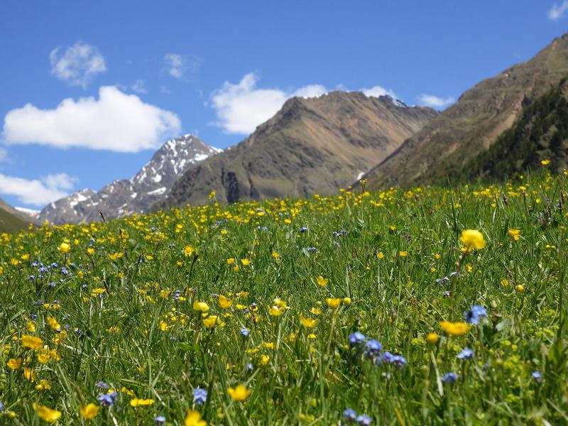
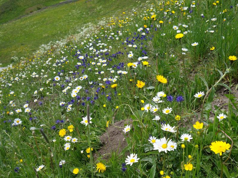
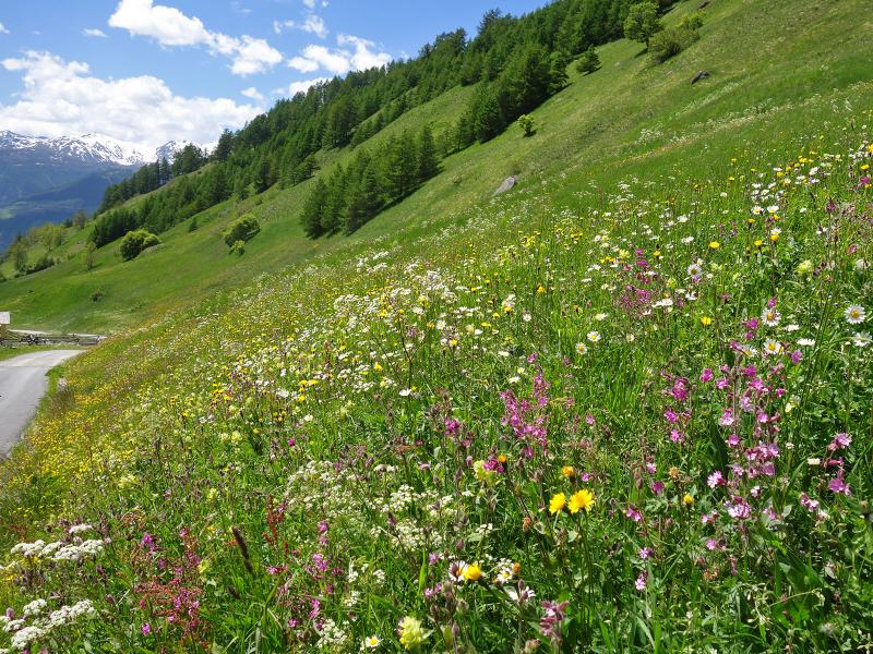
Now, at the beginning of summer we find meadows with a rich flora, which is already seldom in this abundance. Although the descent is almost twice as long as the ascent, it takes us only about 90 minutes, as there is a wide alpine road without any difficulties.
Author: AT
-
- Starting point:
- car park/bus stop Planol
-
- Overall time:
- 03:30 h
-
- Total route length:
- 9,7 km
-
- Altitude:
- from 1.591 m to 2.197 m
-
- Altitude difference (uphill | downhill):
- +607 m | -607 m
-
- Route:
- Planol - Planol Mountain Hut - Petasettes - Planol
-
- Signposts:
- no. 10, "Planeiler Almweg", 6 (Planol)
-
- Resting points:
- Planol Mountain Hut
-
- Recommended time of year:
- Jan Feb Mar Apr May Jun Jul Aug Sep Oct Nov Dec
-
- Download GPX track:
- Circular hike to the Planol Mountain Hut
If you want to undertake this hike, we recommend checking the weather and trail conditions in advance and on site before starting this hike!