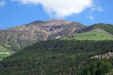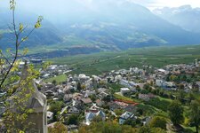
The Valle di Silandro, or Schlandrauntal, stretches from Silandro to the Saldura Ridge in the Oetztal Alps
Image gallery: Hike to the alps in the Valle di Silandro
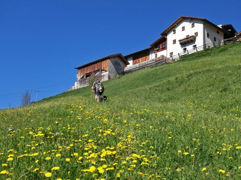
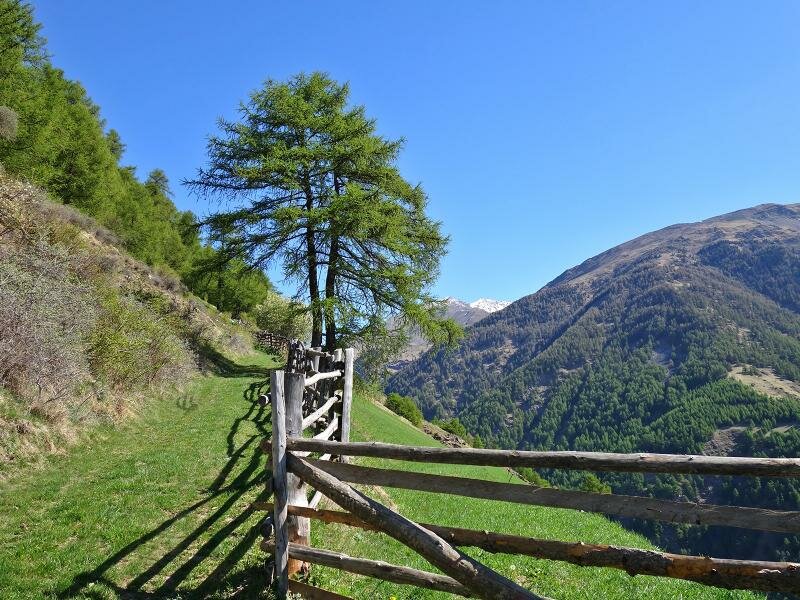
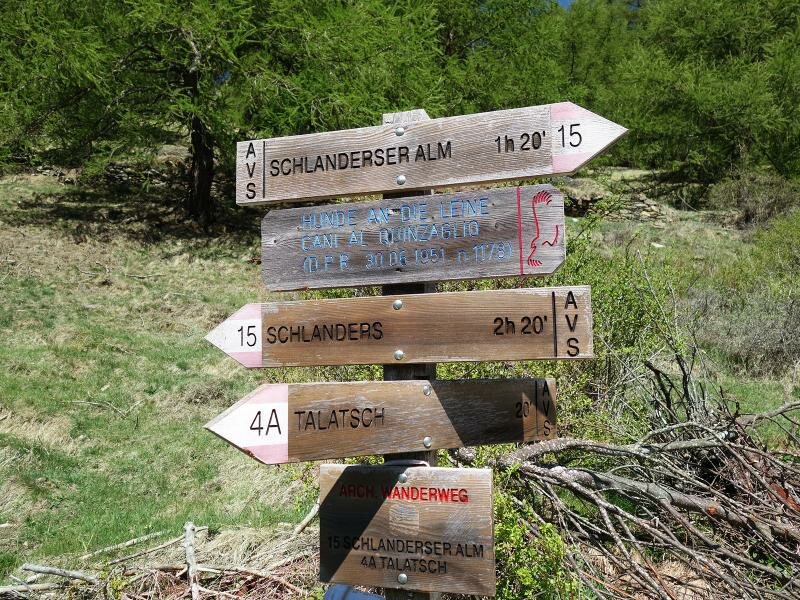
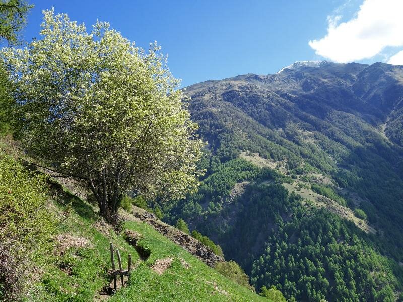
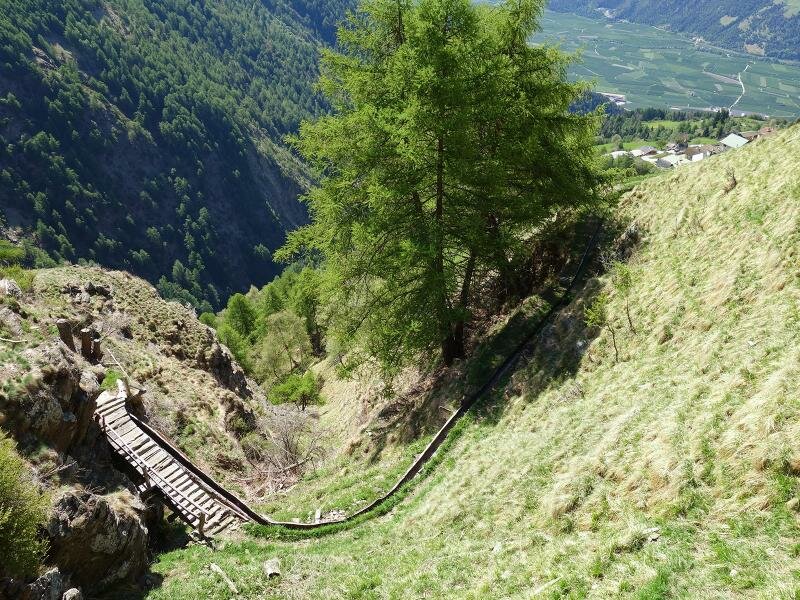
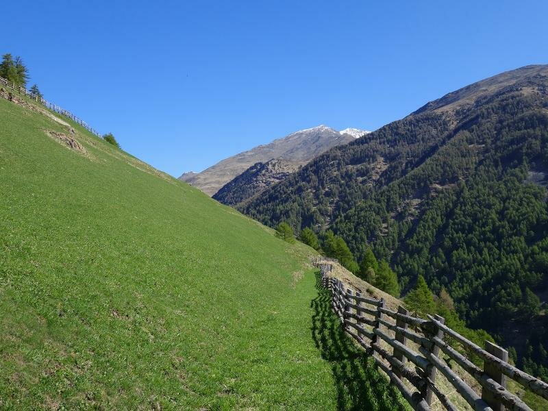
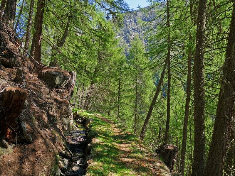
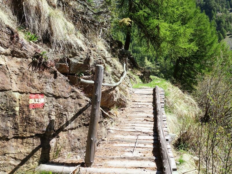
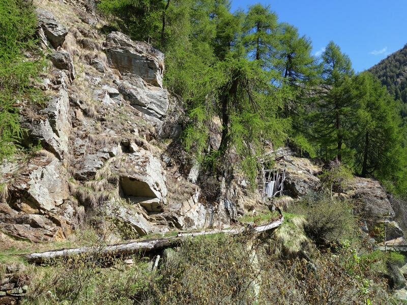
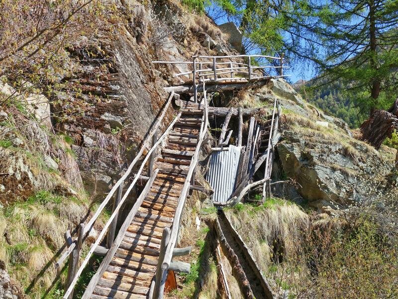

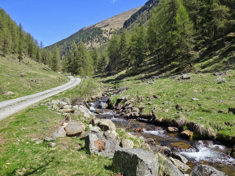
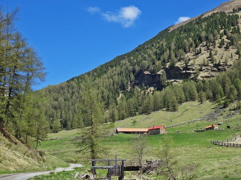
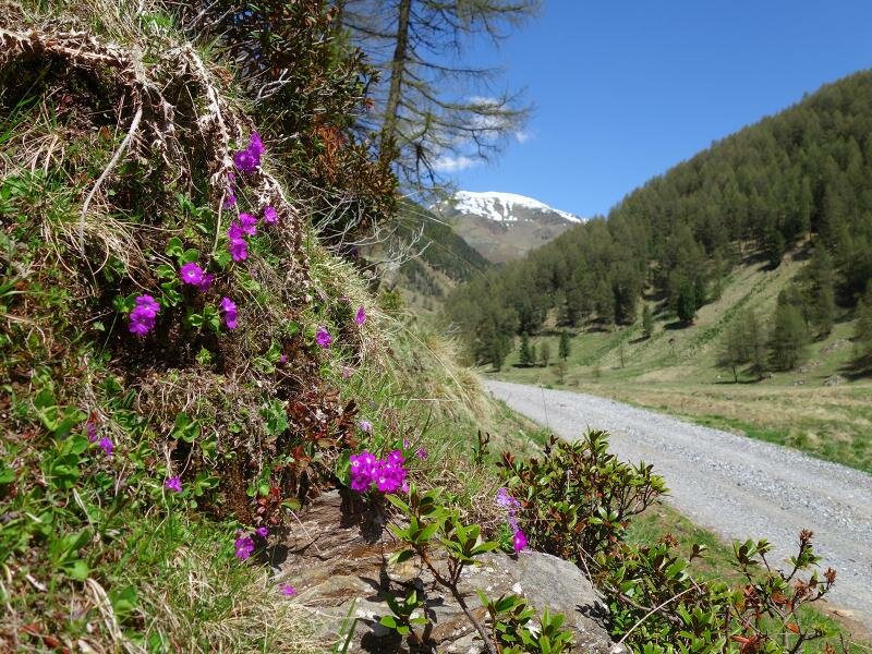
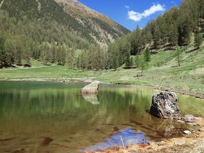
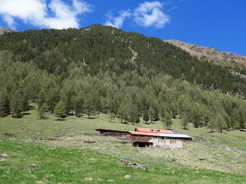
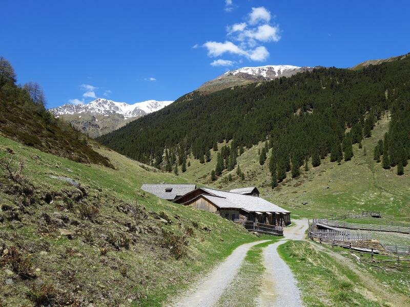
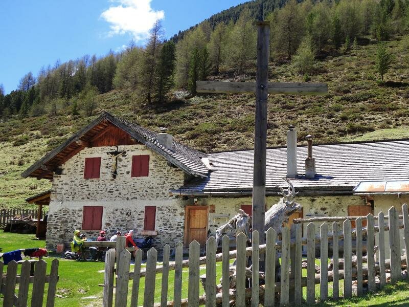
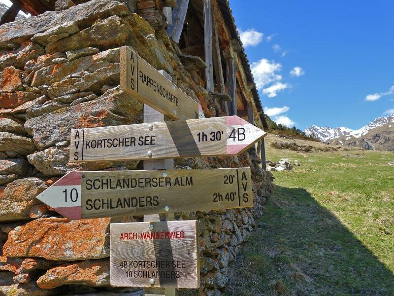
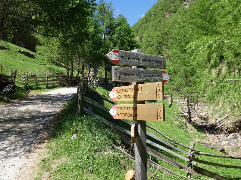
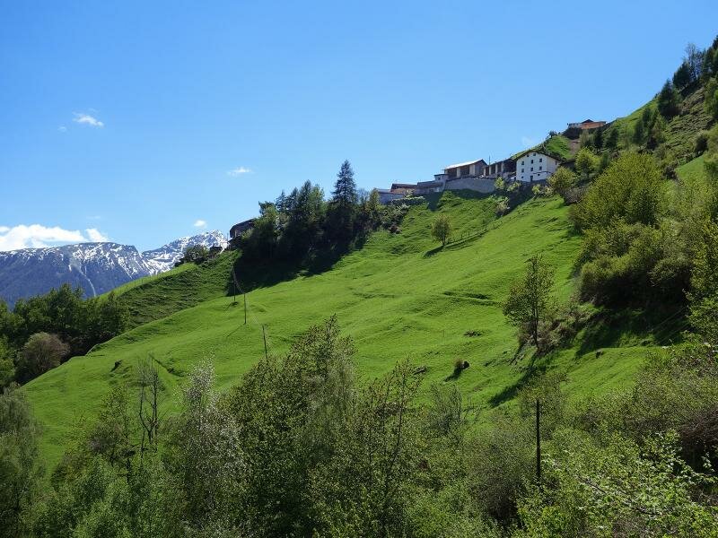
The entrance to the Valle di Silandro valley starts as a deep, narrow gorge, while further up it opens into a gentle high valley. We want to explore it on this day in May. Our starting point is the small hamlet of Talaccio on the Monte Mezzodì near Silandro. We drive from Corzes along the mountain road to the small car park near the Talaccio fire station, and then continue on foot.
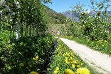
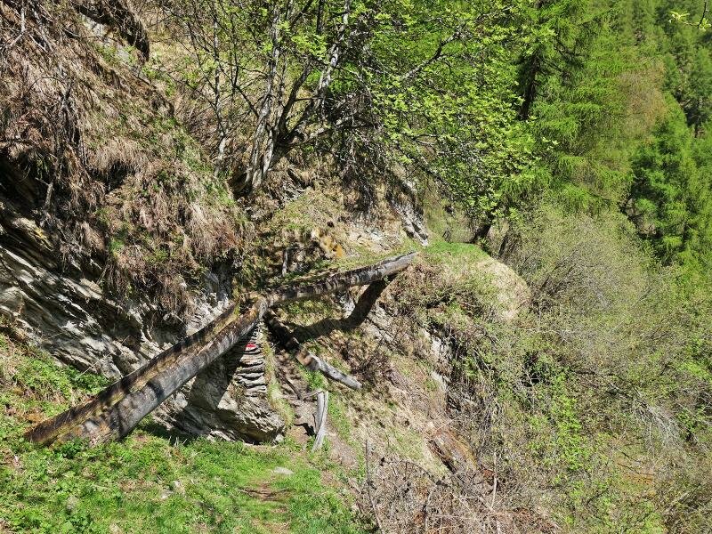
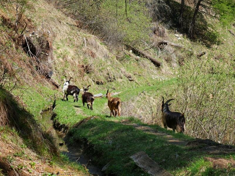
The first section is a rough climb along trail no. 4A across the steep meadows that lead to the Neuwaal. This irrigation channel path - narrow in places but flat as it runs along the steep slopes - joins the forest road of the Valle di Silandro just before the Schupfer alpine huts, at about 1,750 metres above sea level. Here, the water for the channel is diverted from the Rio di Silandro.
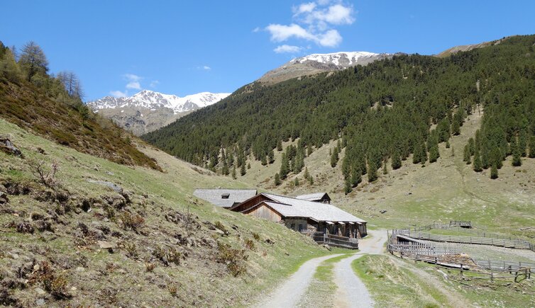
We continue walking slightly uphill to the Malga di Silandro, also known as Schlandraun Alp, and then on to the Malga di Corzes below Lake Corzes. Named after the village of Corzes, this is the first mountain hut in South Tyrol to be run entirely as a certified organic farm. In summer, they open a small refreshment stop serving various dairy products, speck, and alpine cheese.
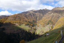
In this area, the Valle di Silandro in the Oetztal Alps reveals itself as a high valley with meadows and pastures reaching over 2,000 metres in altitude. We return along the same path. Alternative: Instead of walking along the Neuwaal, you can choose the forest path downhill. It runs past the former Mühlgütl estate and then merges into the Val Venosta High Route, which leads to Talaccio.
Author: AT
Experienced: May 2017
Last updated: 2026
-
- Starting point:
- Talaccio on the Monte Mezzodì near Silandro (1,365 m a.s.l.)
-
- Overall time:
- 03:55 h
-
- Total route length:
- 13,0 km
-
- Altitude:
- from 1.365 m to 1.987 m
-
- Altitude difference (uphill | downhill):
- +631 m | -631 m
-
- Signposts:
- "Schlandrauntal", no. 4A, "Neuwaal", A4, 4, 10
-
- Destination:
- Corzes Mountain Hut (1,987 m a.s.l.)
-
- Resting points:
- Corzes Mountain Hut (June to September)
-
- Recommended time of year:
- Jan Feb Mar Apr May Jun Jul Aug Sep Oct Nov Dec
-
- Download GPX track:
- Hike to the alps in the Valle di Silandro
-
- More information:
- The overall time shown above refers to the walking time only, not including breaks or stops.
If you want to undertake this hike, we recommend checking the weather and trail conditions in advance and on site before starting this hike!