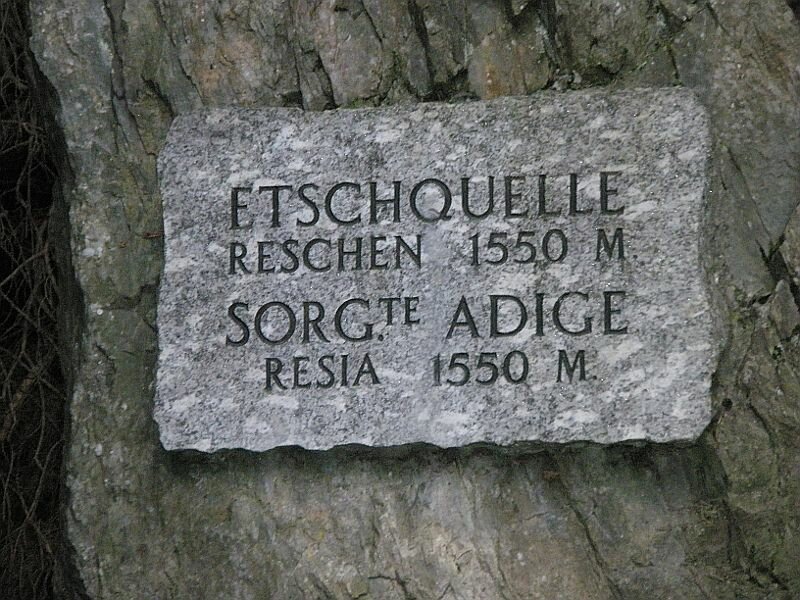
Our short hike leads us to the source of the Adige river: It rises on the Passo Resia near the boarder to Austria
Image gallery: Hike from Resia to the source of the Adige river
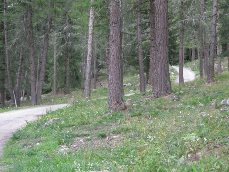
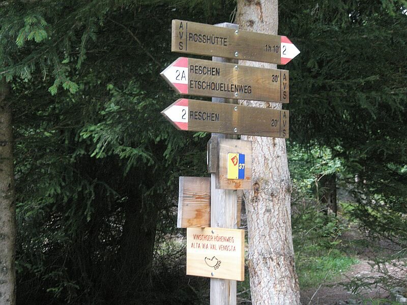
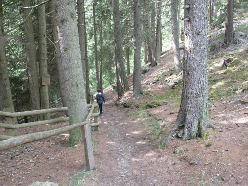
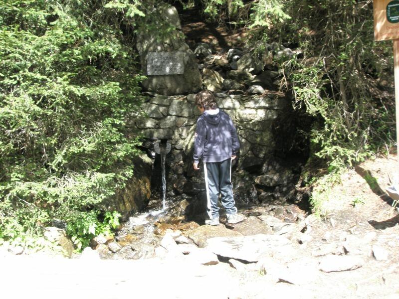
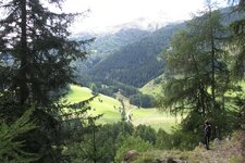
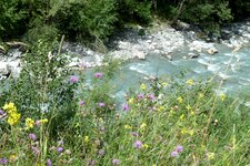
We start our short but very interesting hiking tour at the parking space in the centre of the village Resia (Reschen). Above the centre of Resia, we follow trail no. 2 into the forest, which will directly lead us to the source of the river Adige, the biggest river in South Tyrol.
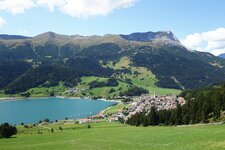
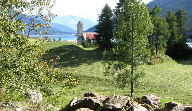
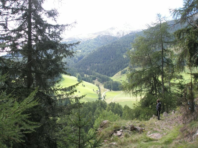
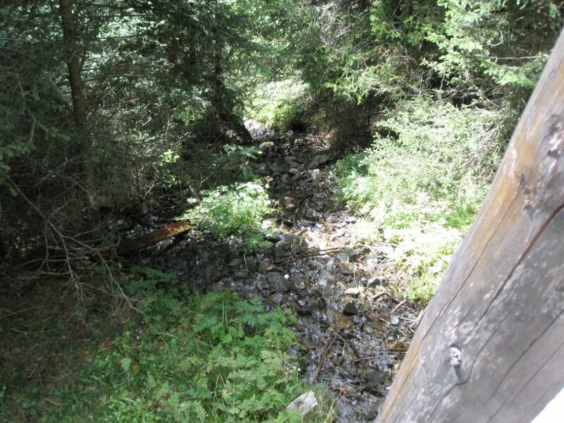
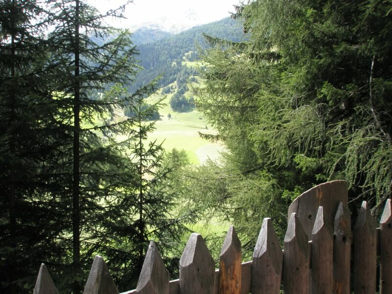
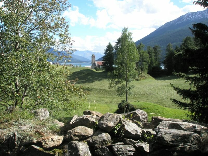
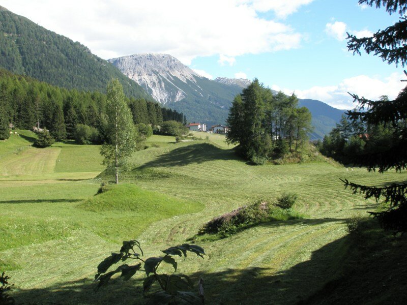
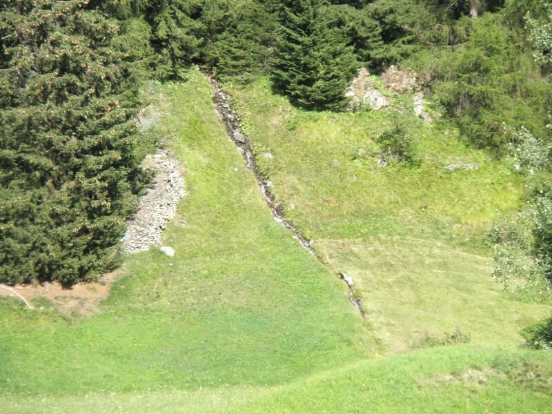
In the beautiful larch forest we observe two cute but very shy squarrels. After a short walking time the signposts lead us down to a trail which branches off to the left and finally leads us to the source of the Adige river, which is marked very well. After some time spent at the source, we start our way back and cross some very beautiful meadows offering great views of the Church Steeple in Lake Resia and Lake Resia itself.
Finally arrived at our starting point in Resia, we are happy to have done this short but very beautiful and interesting hiking tour to the source of the Adige river.
Author: RD
-
- Starting point:
- Resia, centre
-
- Overall time:
- 01:00 h
-
- Total route length:
- 2,5 km
-
- Altitude:
- from 1.510 m to 1.564 m
-
- Altitude difference (uphill | downhill):
- +54 m | -54 m
-
- Signposts:
- no. 2
-
- Destination:
- Source of the Adige river
-
- Resting points:
- Restaurants in Resia
-
- Recommended time of year:
- Jan Feb Mar Apr May Jun Jul Aug Sep Oct Nov Dec
-
- Download GPX track:
- Hike from Resia to the source of the Adige river
If you want to undertake this hike, we recommend checking the weather and trail conditions in advance and on site before starting this hike!