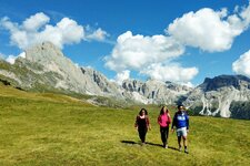
The Punta Livi mountain (3,352 m a.s.l.) is a rewarding mountain tour in the heart of the Stelvio National Park
Image gallery: Hike to Mt. Punta Livi
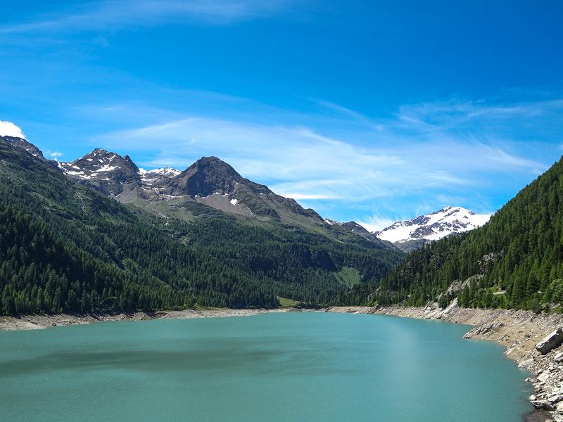
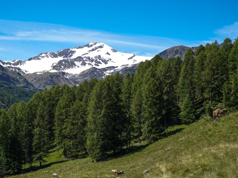
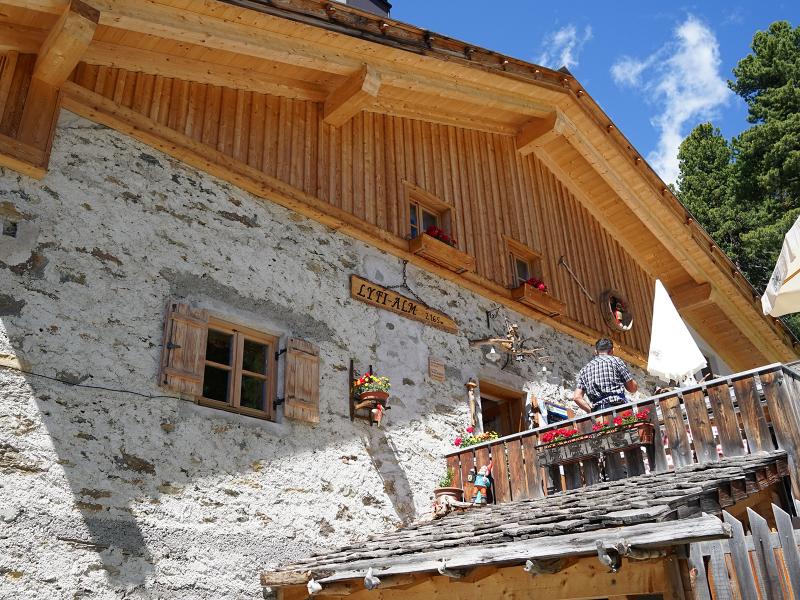
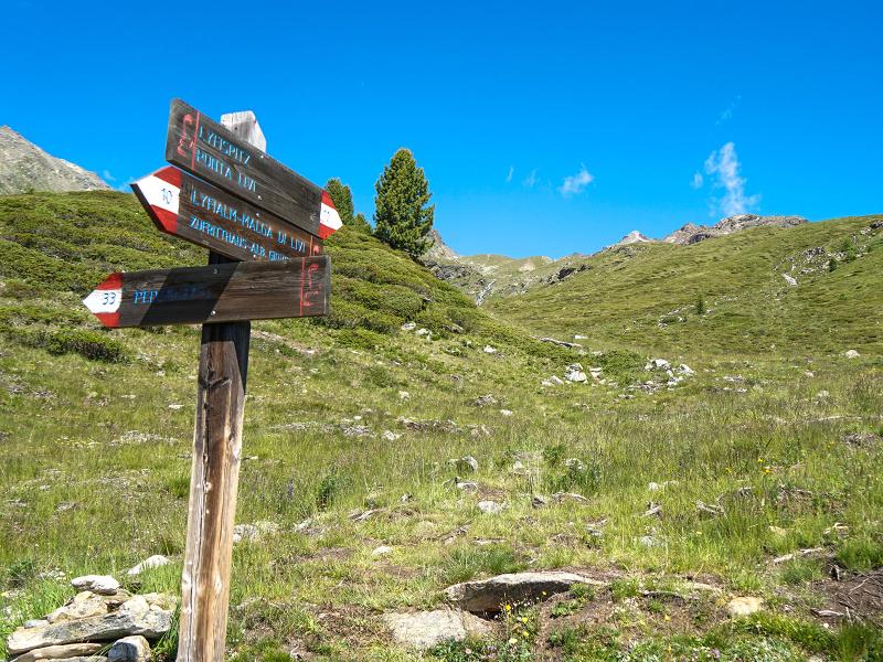
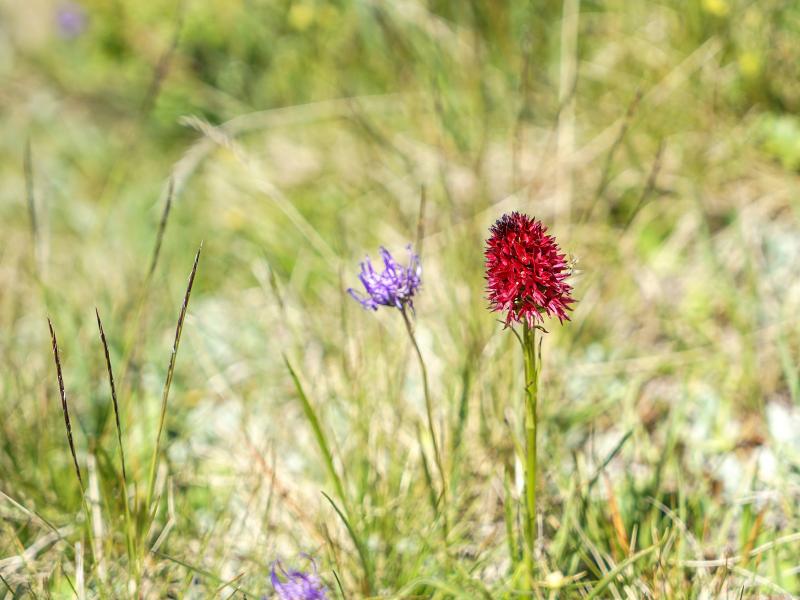
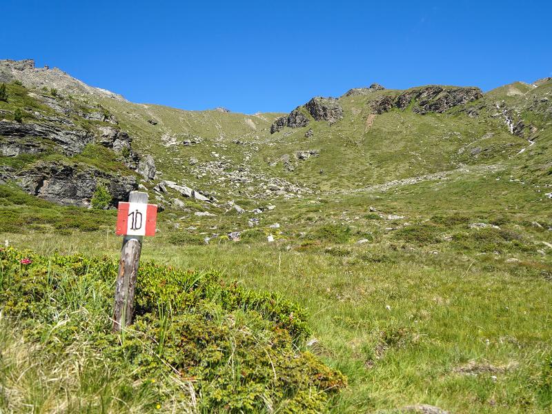
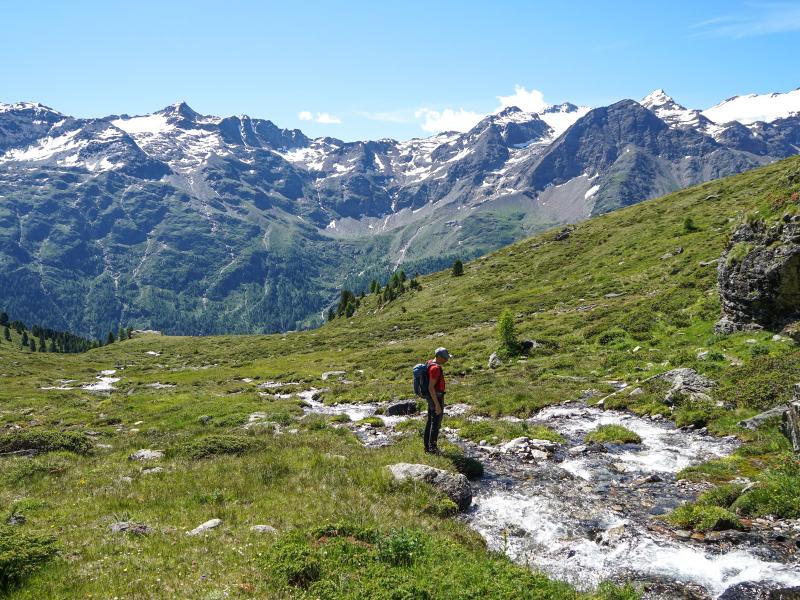
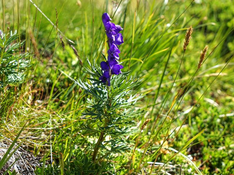
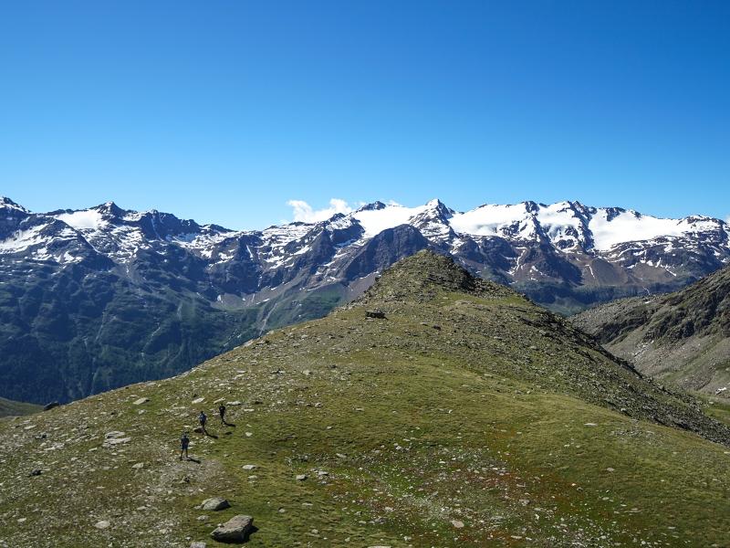
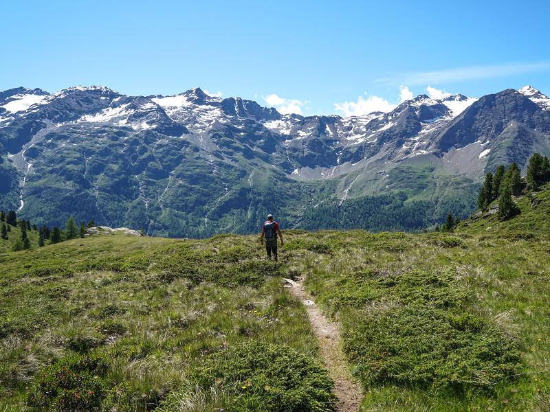
The starting point of this demanding alpine tour is the car park at the Zufritt tavern in the rear Val Martello valley. At the beginning we follow the marking no. 10 to the managed Livi Mountain Hut (Lyfialm, 2,165 m a.s.l.). The path there leads steeply through the forest. Shortly after the hut we leave the forest and come to the junction (Dosso di Peder-Peder Valley).
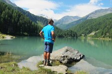
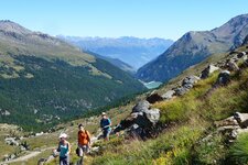
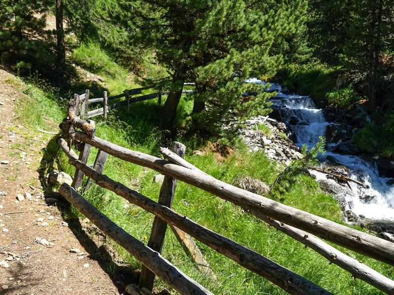
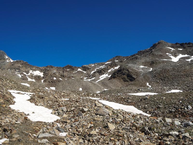
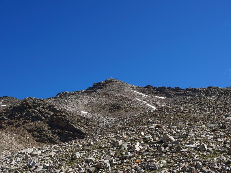
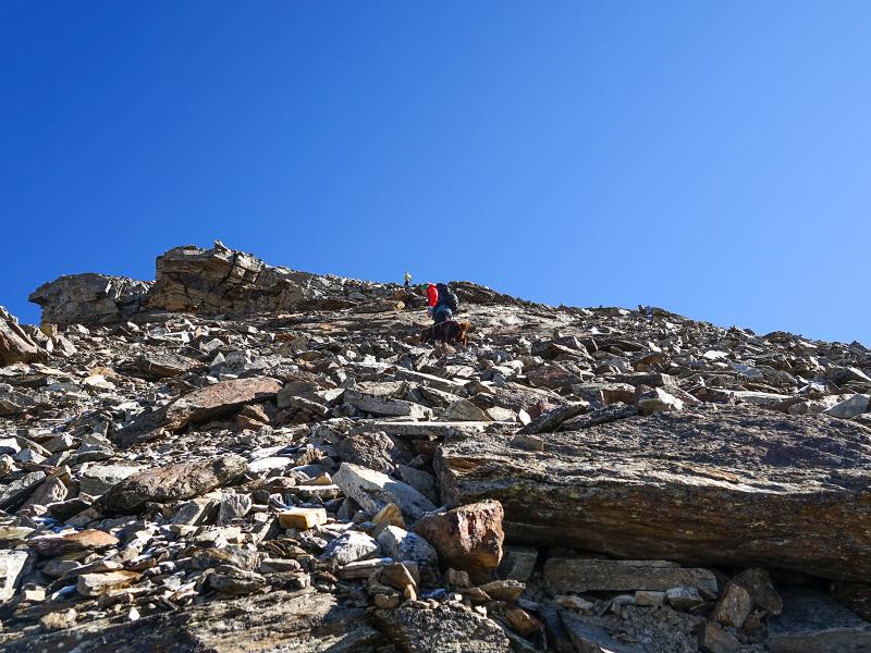
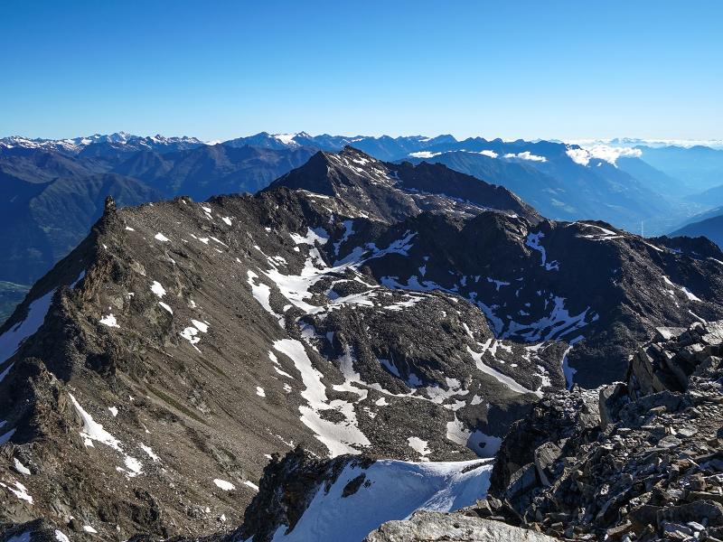
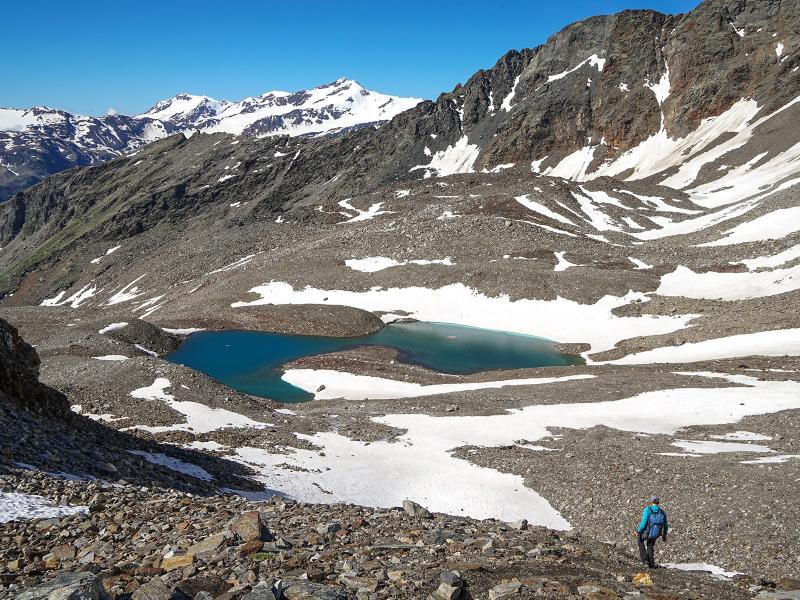
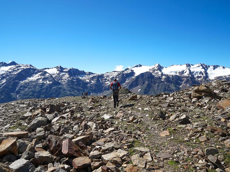
We hike across meadows along the Rio Livi brook through the wide Livi Valley. The Monte Livi (2,851 m a.s.l.) is now enthroned in front of us and we bypass it on the left side. The well-marked path now becomes rocky and steep. We pass two lakes embedded in the basin between Mt. Punta Peder di Fuori and Mt. Punta Livi. The last 400 m in altitude to the summit are quite steep and arduous. The path leads over loose boulders and scree fields.
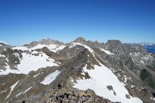
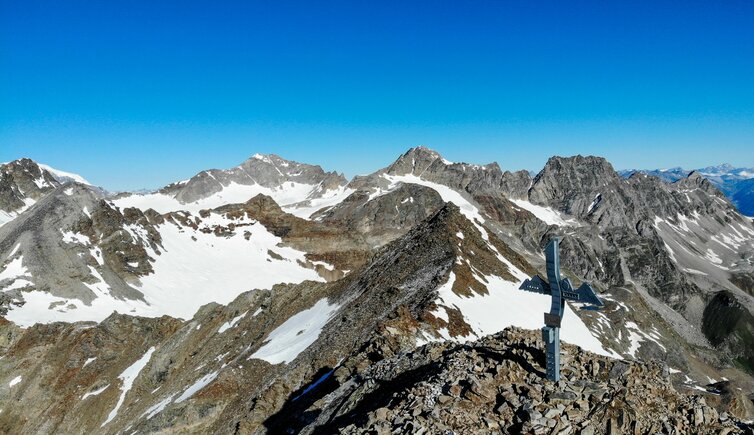
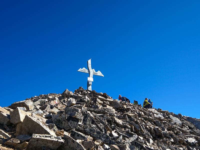
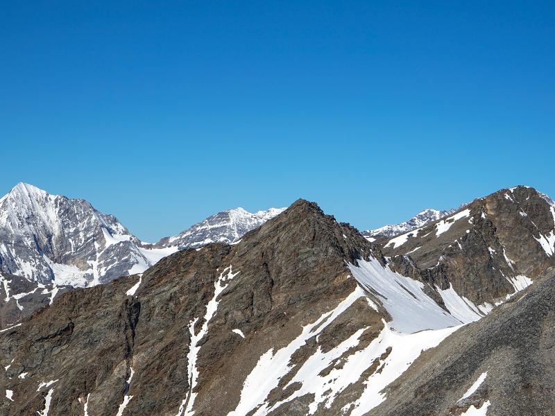
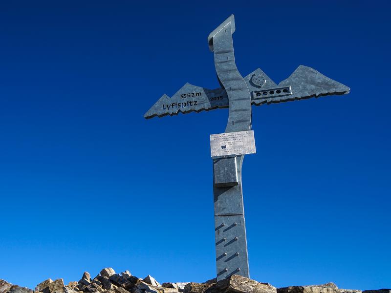
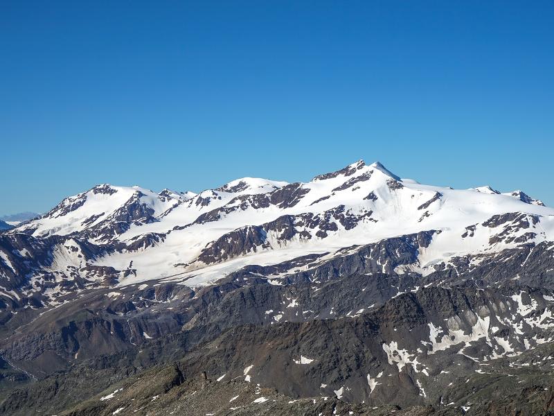
Arriving at Mt. Punta Livi (Lyfispitz, 3,352 m a.s.l.) we are rewarded with a breathtaking panoramic view in the middle of the 3,000-metre high mountains of the Stelvio National Park. The view extends to the glaciers of the Ortles Alps, to the lower Val Venosta valley and to the main Alpine ridge. Sure-footedness is mandatory when climbing the summit ridge.In early summer you may need to use crampons.
Author: PG
-
- Starting point:
- car park at the Zufritt tavern, rear Val Martello valley
-
- Overall time:
- 05:30 h
-
- Total route length:
- 11,5 km
-
- Altitude:
- from 1.882 m to 3.352 m
-
- Altitude difference (uphill | downhill):
- +1470 m | -1470 m
-
- Signposts:
- no. 10
-
- Destination:
- Punta Livi (Lyfispitz)
-
- Resting points:
- Zufritt tavern, Livi Mountain Hut
-
- Recommended time of year:
- Jan Feb Mar Apr May Jun Jul Aug Sep Oct Nov Dec
-
- Download GPX track:
- Hike to Mt. Punta Livi
We highly recommend checking the weather and trail conditions in advance and on site before starting this tour.