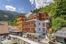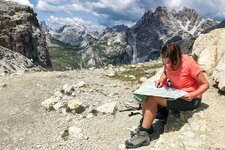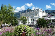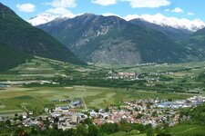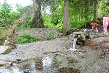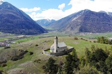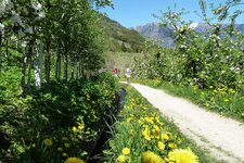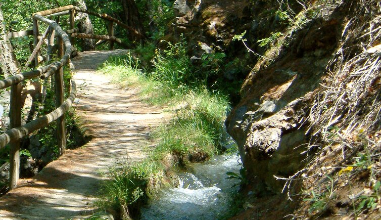
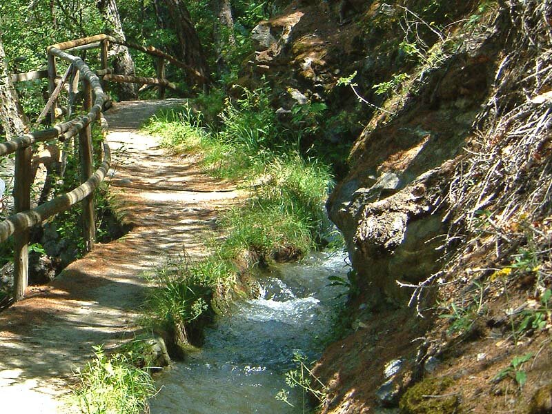
In the Val Venosta, farmers can’t do without the water channels called Waale, which irrigate their fields with the melt water of the glaciers in the Oetztal Alps
Image gallery: Hike along the Sluderno Waalwege paths
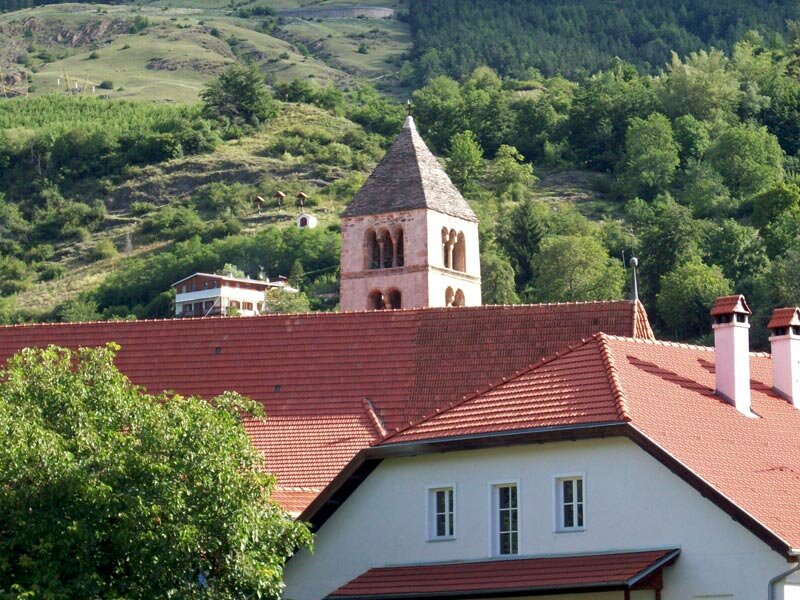
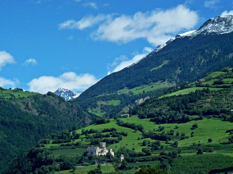
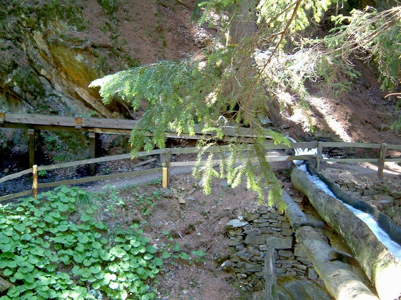
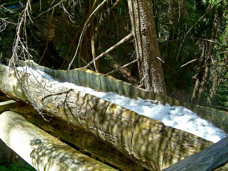
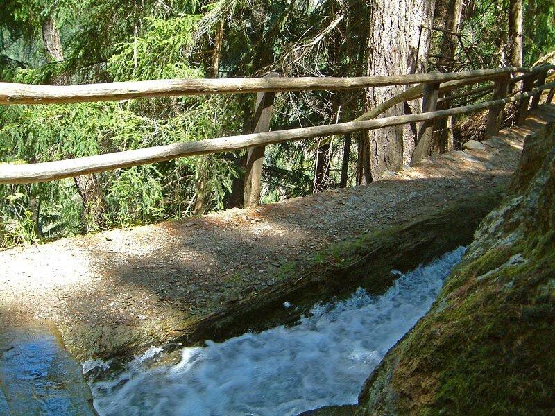
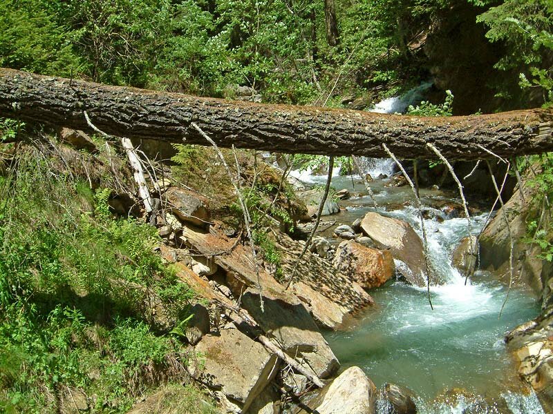
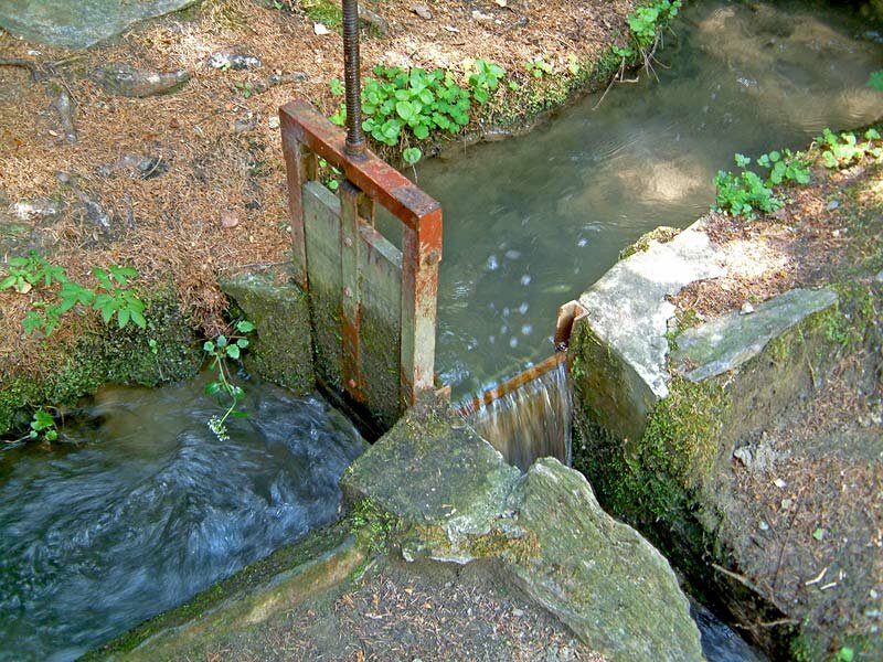
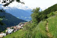
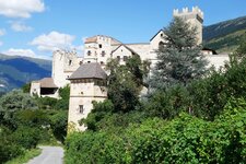
From Sluderno (Schluderns), we hike steeply upwards heading towards Monte Sole by crossing Coira Castle, one of the most beautiful castles in South Tyrol. Having passed the meadows around the Vernalhof farm above Sluderno, we finally reach the water channels.
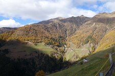
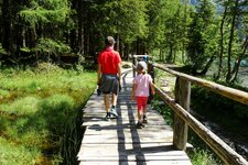
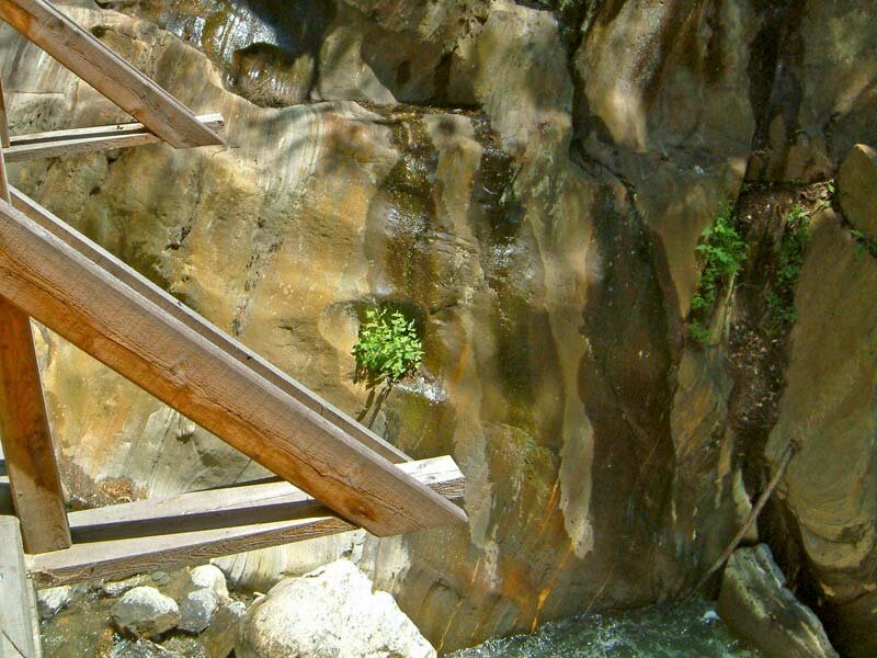
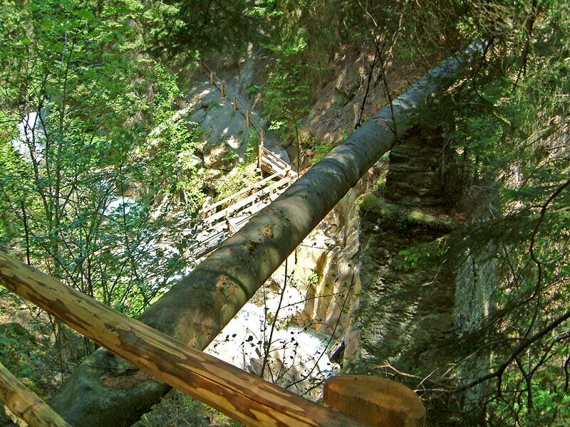
The Berg Waalweg path leads into the forested Val di Mazia valley. We cross the middle of the valley at the ravine of the stream which supplies the water channels in order to hike back to Sluderno on the Leiten Waalweg path at the other side of the valley.
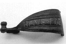
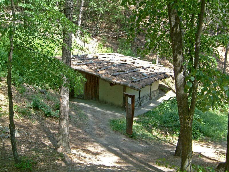
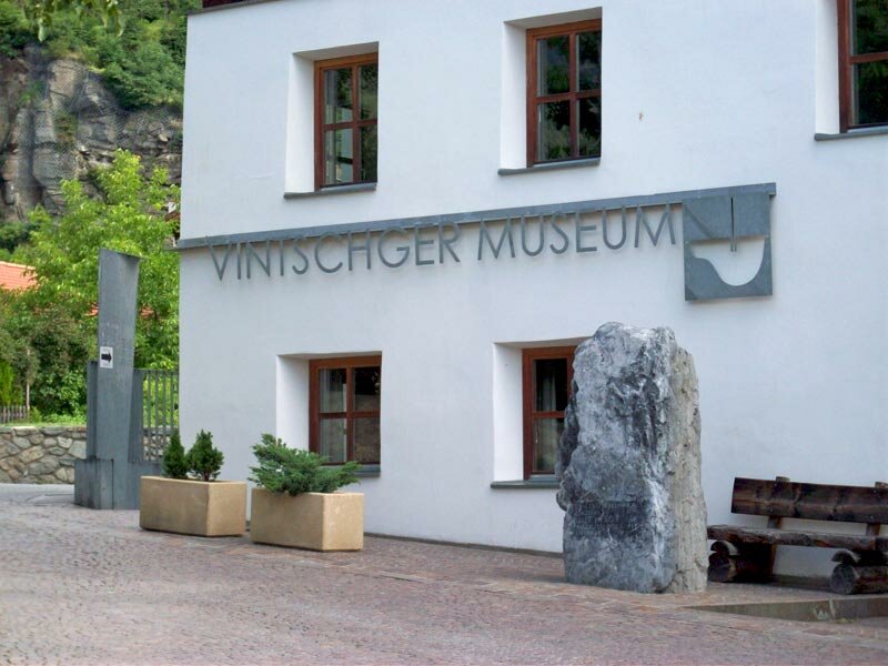
We pass Ganglegg, a prehistoric settlement of the Bronze and Iron Age, which can be visited. Back to Sluderno, there's also the Venosta Valley Museum - VUSEUM which exhibits findings from the Ganglegg and tells about the settlement history in this part of the Val Venosta valley.
Author: AT
-
- Starting point:
- Sluderno / Schluderns
-
- Overall time:
- 03:10 h
-
- Total route length:
- 7,6 km
-
- Altitude:
- from 919 m to 1.229 m
-
- Altitude difference (uphill | downhill):
- +336 m | -336 m
-
- Signposts:
- no. 18A, 20, 17, 18
-
- Recommended time of year:
- Jan Feb Mar Apr May Jun Jul Aug Sep Oct Nov Dec
-
- Download GPX track:
- Hike along the Sluderno Waalwege paths