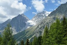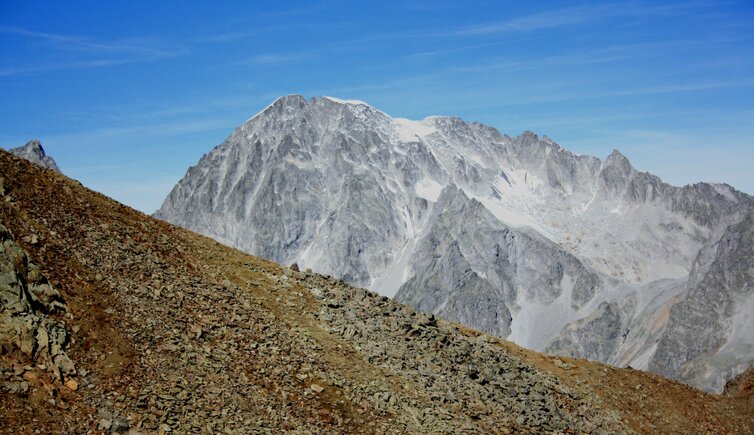
The 3,436 m high Collalto is situated on the border of Italy and Austria, but its summit belongs to South Tyrolean territory
Image gallery: Collalto
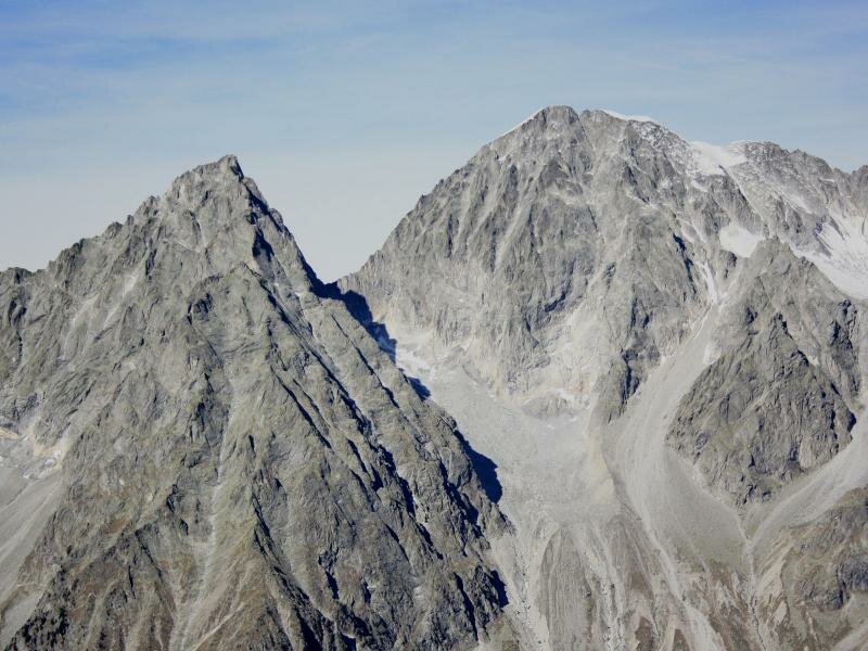
With 3,436 m a.s.l., Mt. Collalto is the highest peak of the Rieserferner Group and characterised by its shapely form and its famous north face. The German name Hochgall derives from the Old High German word "galla" which means "shiny, brilliant". So Mt. Collalto is the "high shiny mountain", whereas the neighbouring Mt. Collaspro is the "wild shimmering mountain". Its first ascent dates back to August 3, 1868, when K. Hoffmann and V. Kaltendorff as well as the alpine guides G. Weiss and H. Oberarzbacher from Riva di Tures scaled this mountain for the first time.
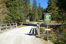
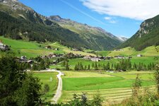
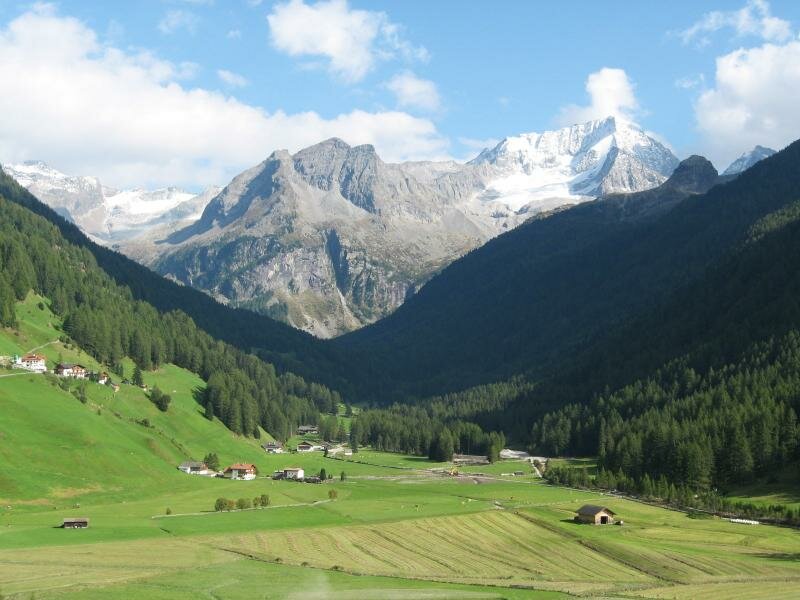
They arrived over the west flank and the north-west ridge to the summit. Already in 1854 the pilot officer Hermann van Acken and some assistants from the Defereggen Valley in East Tyrol tried to scale Mt. Collalto along the north-east ridge route, but they only reached the crest beneath the summit. So far, Mt. Collalto which is part of the Vedrette di Ries-Aurina Nature Park, has claimed several victims, as the two paths leading on the top has often been undervalued. One of these trails starts at the Roma Mountain Hut (2,276 m a.s.l.) near Riva di Tures and leads via Mt. Dosso Grigio (3,084 m a.s.l.) to the north-west chine and the summit. The other route starts in Anterselva di Sopra at the Barmer Mountain Hut (2,160 m a.s.l.) and takes along the north-east ridge to the summit, crossing the Riepenscharte saddle and the glacier of the Patscher Kees.