The 2,568 m high Passo di Fundres (Pfunderer Joch) is a promising destination for extreme mountain bikers
Image gallery: MTB tour to the Passo di Fundres
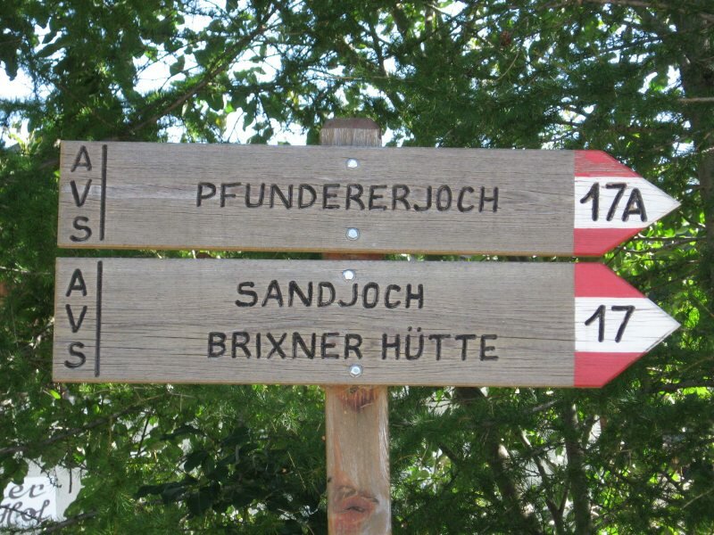
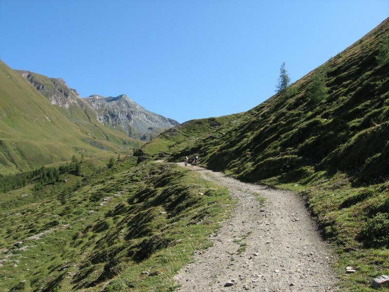
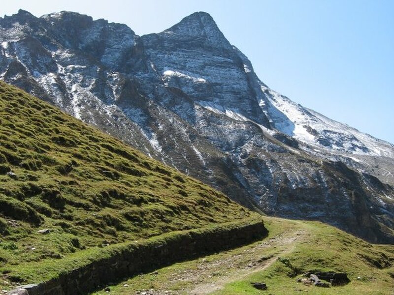

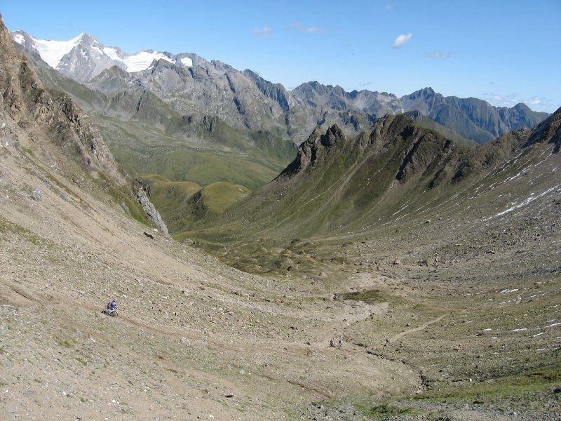
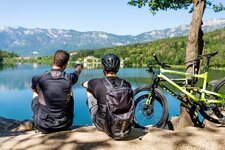
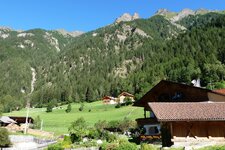
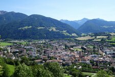
In late summer we decide to do a MTB tour to the Passo di Fundres mountain ridge, stage of numerous crossings of the Alps. This tour can not be managed without preparation and excellent stamina! Our starting point is the train station of Vipiteno (930 m a.s.l.) from where we cycle into the Val di Vizze, lightly upwards. The tunnel should be gone round on the right! In Fossa Tures (1,380 m a.s.l., 13.5 km) we turn right to a forest road, the Passo di Fundres is already signposted. Immediately after the bridge the gravel path proceeds merciless upwards for 5 km. The timber line is reached and the panoramic view over the surrounding alpine world is fantastic.
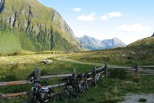
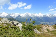
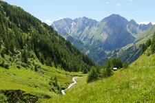
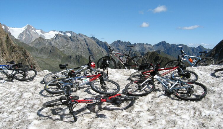
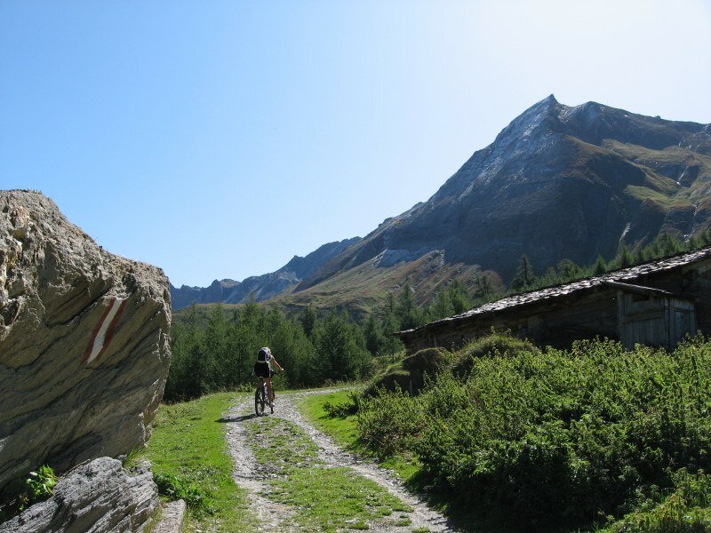
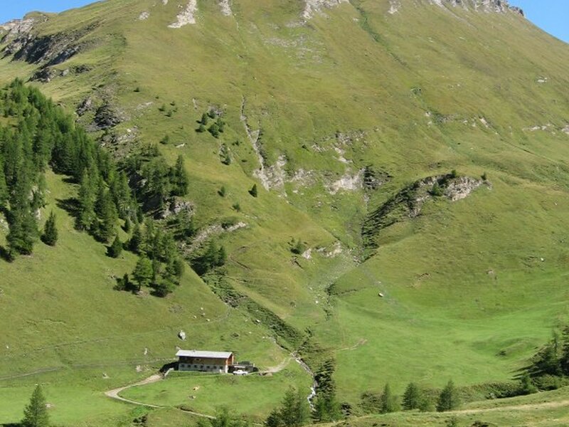
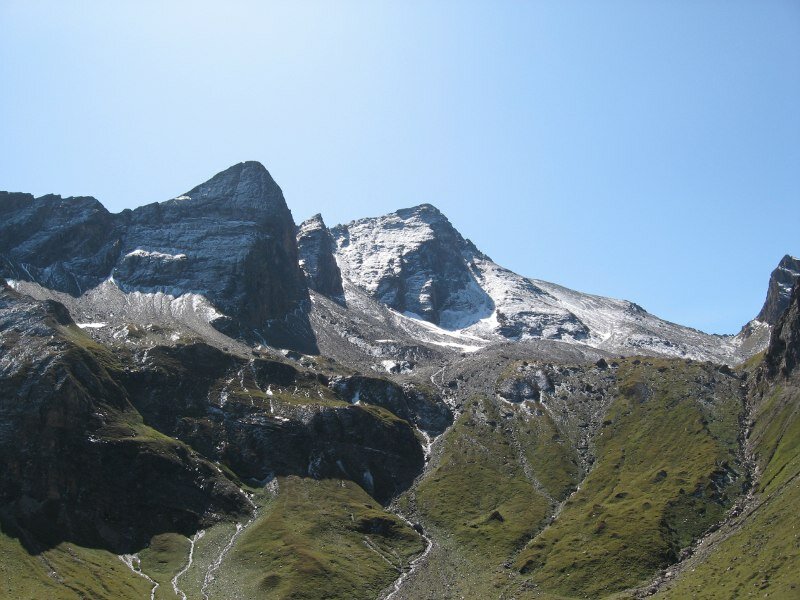
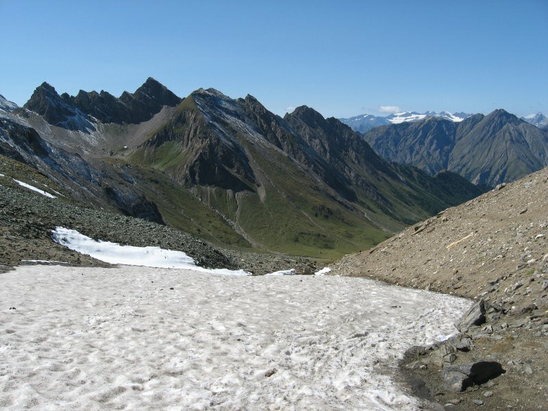
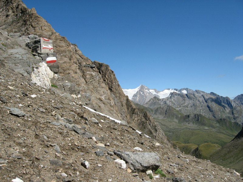
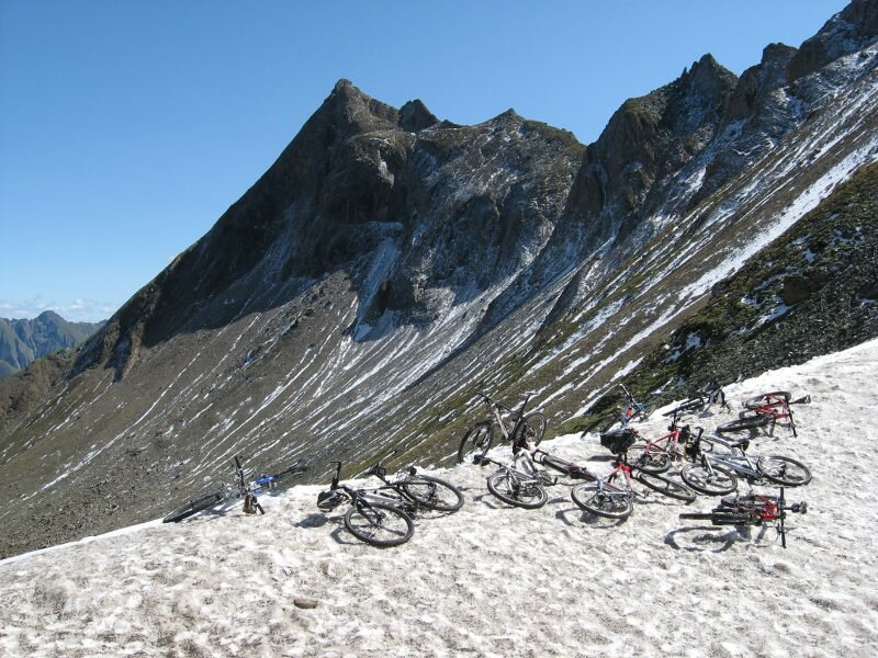
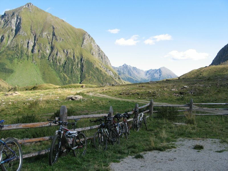
We reach the Monte Grande Mountain Hut at 1,920 m a.s.l. where the path gets a flatter and we can take a short breath. On the opposite we see the serpentine road to the Col della Chiave ridge, also a popular bike transition on the other side of the valley. We carry on, again merciless steep towards the Passo di Fundres. After crossing a creek the drivable part of the path is over and we have to wheel our bikes. The last metres in altitude have to be managed by foot. On top of the Pfunderer Joch, a huge snowfield awaits us. The amazing panoramic view on the Fundres Mountains in the Zillertal Alps, with the peaks of Cima Felbe, Punta Bianca and Cima Grava, lets us forget the extreme ascent soon. After an extensive break we start towards Fundres - first we have to wheel again, the rest of the descent is a dream for all singletrail-bikers and also ridable for less extreme bikers. As soon as the Monte Largo Hut can be seen, the last section to wheel starts again.
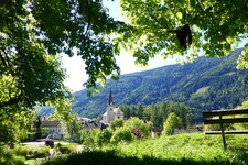
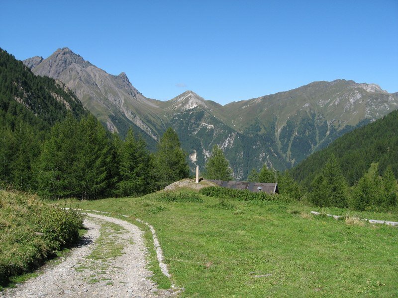
Arrived at the hut we take a break, from there we then follow a forest road towards Dun in Fundres and on an asphalt road until Vandoies di Sotto at the entrance of the Valle di Fundres. From here you can again reach your starting point. Extremely difficult, extremely beautiful! Fantastic panoramic views, gorgeous singletrail-tracks for extreme bikers. Easy orientation. Attention: check conditions, due to the altitude (2,568 m a.s.l.) snowfall also in summer possible.
Author: BS
-
- Starting point:
- Vipiteno (or each other village between Vandoies and Vipiteno)
-
- Overall time:
- 10:00 h
-
- Total route length:
- 85,5 km
-
- Altitude:
- from 717 m to 2.567 m
-
- Altitude difference:
- +2537 m | -2537 m
-
- Route:
- Vipiteno - Val di Vizze – Fossa Tures - Passo di Fundres - Fundres - Vandoies - Vipiteno
-
- Signposts:
- 17A, 19
-
- Recommended time of year:
- Jan Feb Mar Apr May Jun Jul Aug Sep Oct Nov Dec
-
- Download GPX track:
- MTB tour to the Passo di Fundres