Into the high mountains of the Val Senales we walk to the 2,771-metre-high Giogo Tasca and the “Black Lake”
Image gallery: Mountain tour to the Giogo Tasca
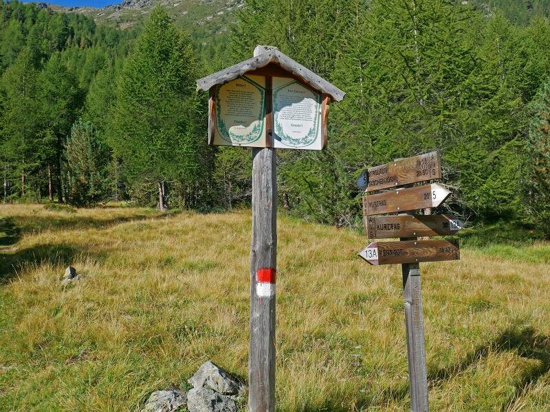
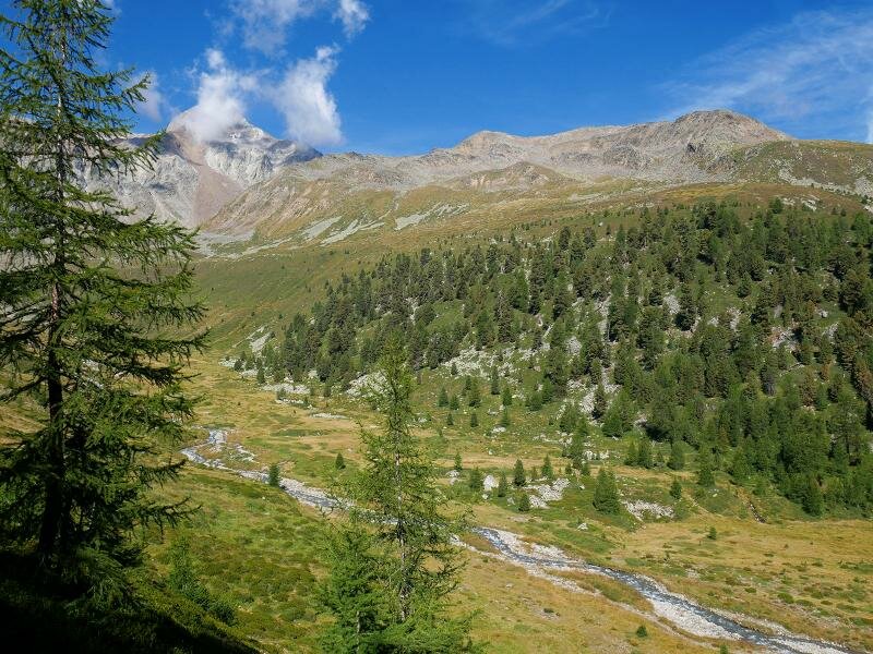

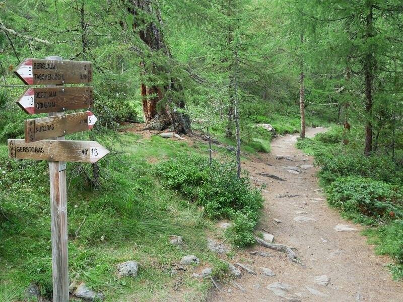
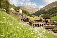
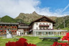
We will climb around 1,000 metres in altitude on this hike in the Val Senales and experience various high mountain landscapes along the way. The starting point is Maso Corto, specifically the small car park at the Cóvolo Farms just before the village at the head of the valley. Here, we follow signpost no. 5 and a path that climbs steadily up the slope until we reach the Valle di Lagaun.
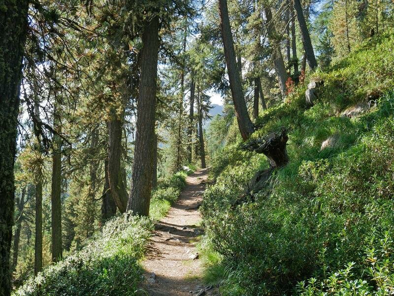
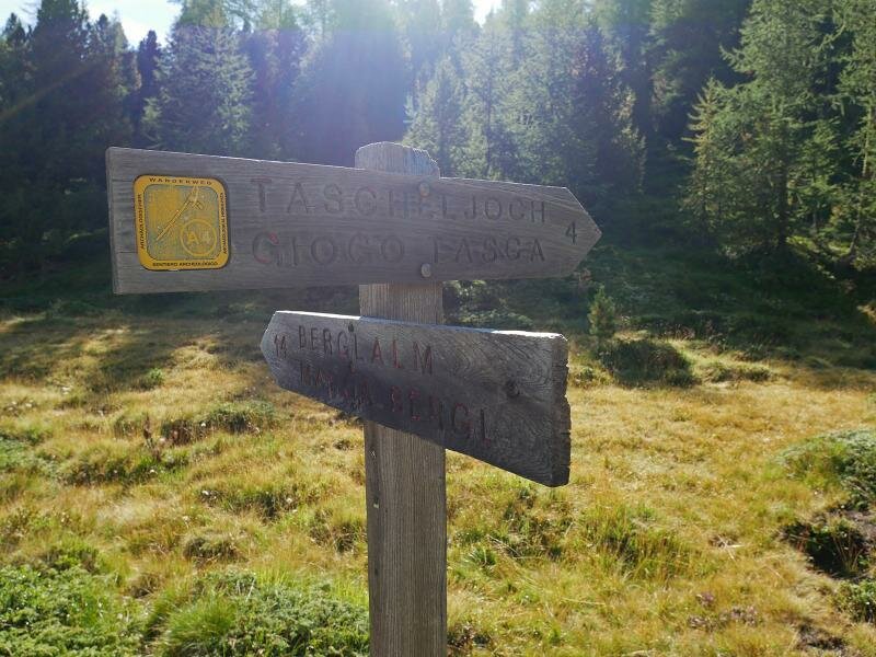
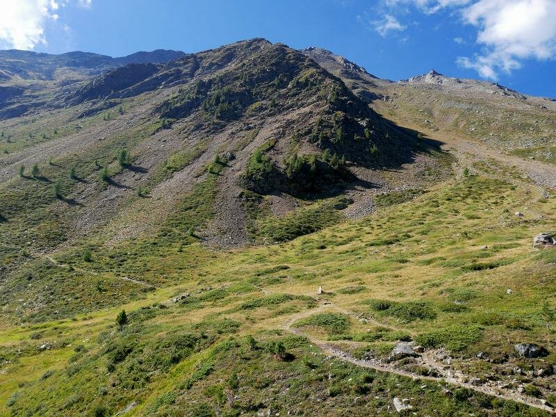
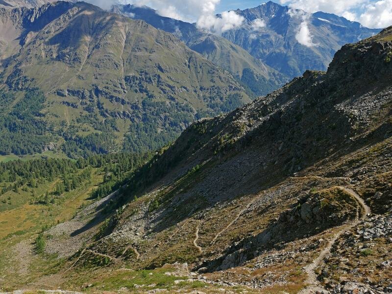
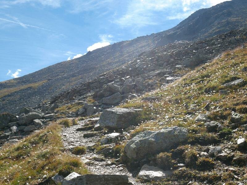
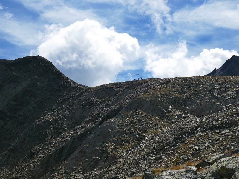
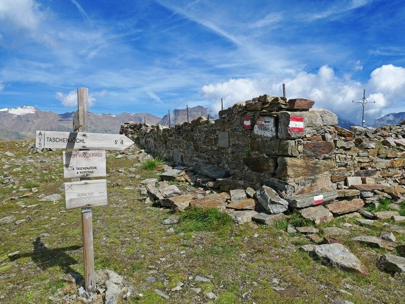
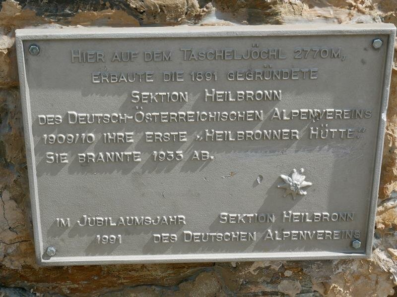
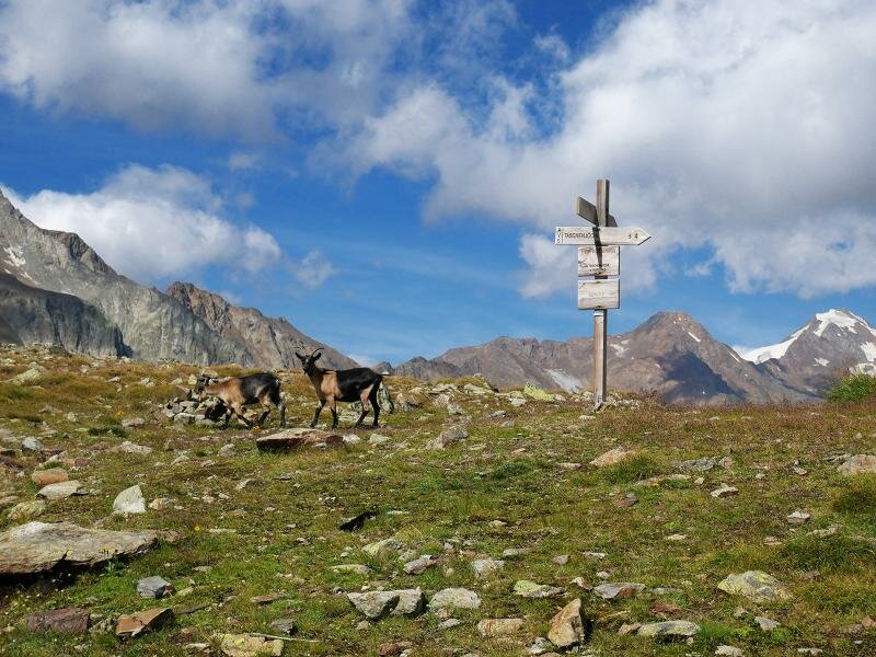
Immediately after the bridge over the Rio Lagaun stream, we continue hiking towards the Giogo Tasca ridge (markers 4 and A4, "Taschenjöchl'). The route now climbs increasingly steeply up the rocky slope, taking us above the tree line. Turn after turn, the path winds its way up to an altitude of over 2,700 metres above sea level. It leads to the cross near the Giogo Tasca, where you can still see the ruined walls of the Rifugio Colle Tasca, a mountain hut that was destroyed by fire in 1933.
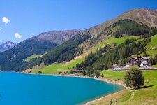
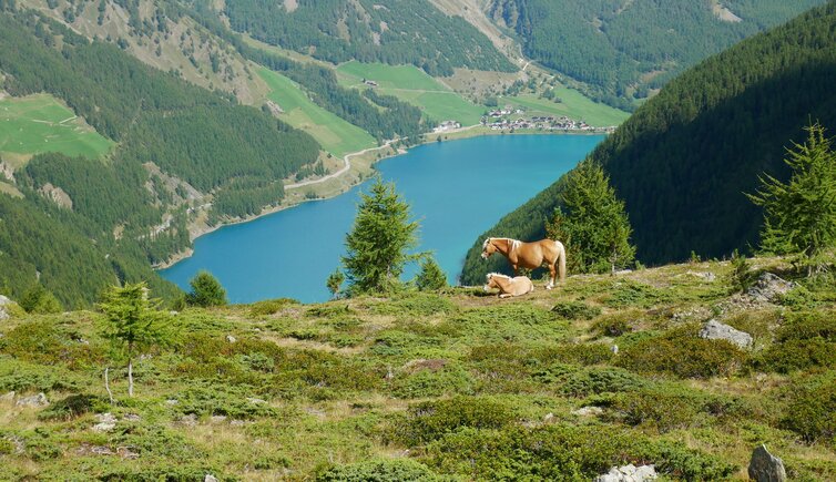
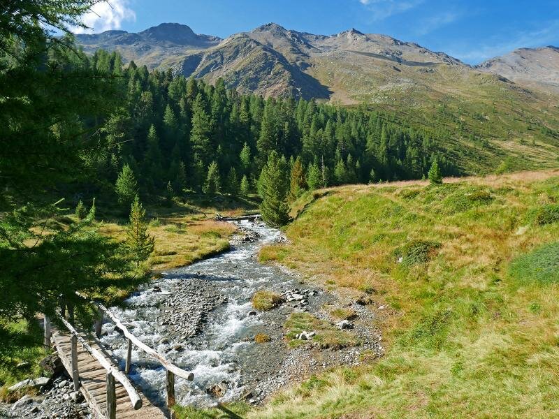
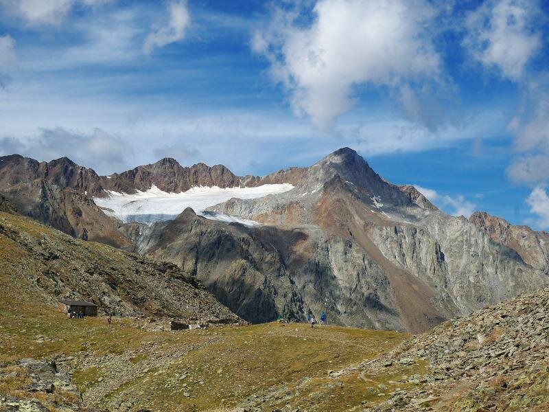
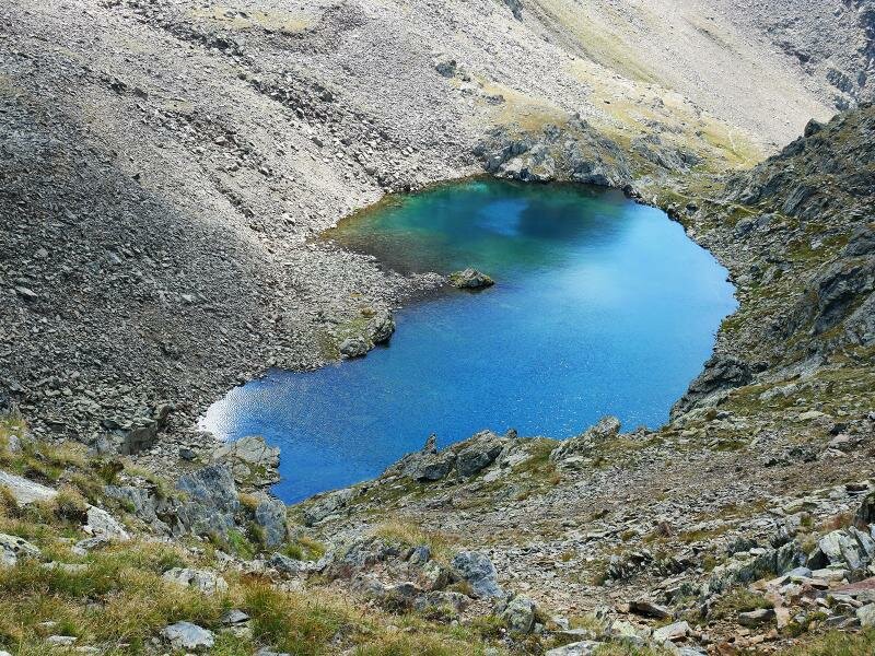
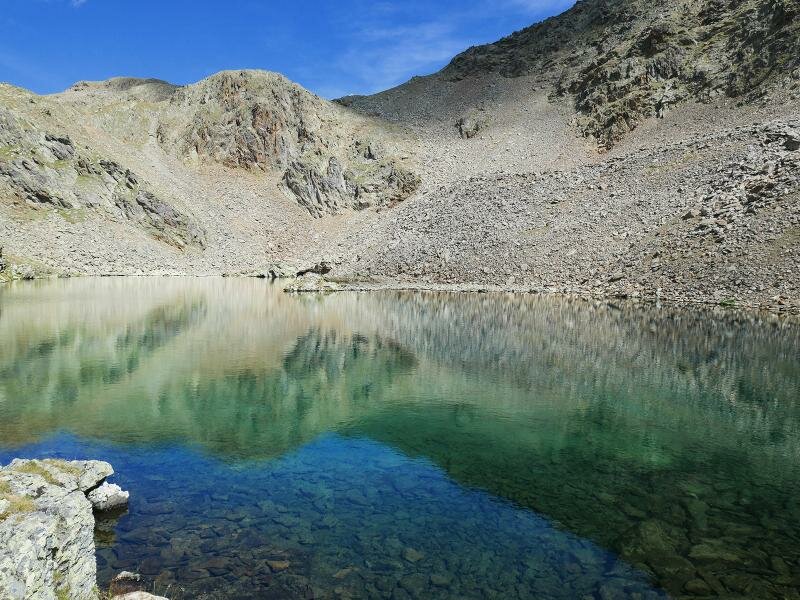
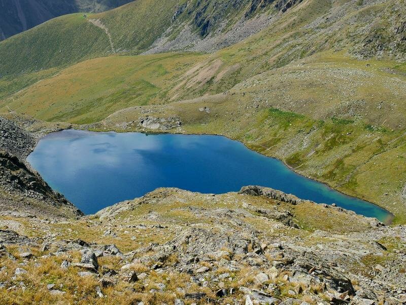
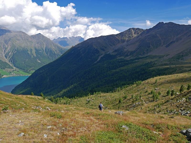
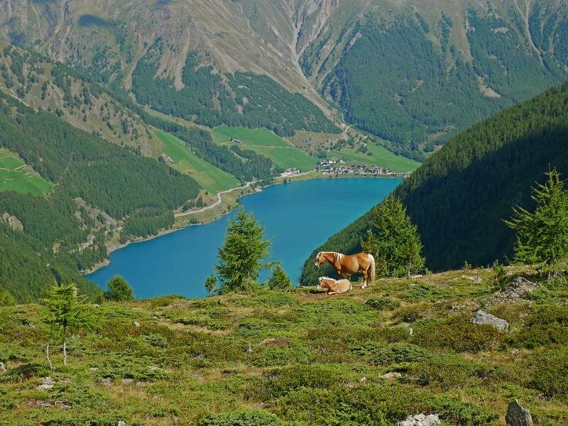
The panoramic view stretches from the Vedretta di Lagaun glacier to Mt. Palla Bianca and the Finale peaks, and from Lake Vernago and the Texel Group to the southern Saldura Ridge. Directly below us, we spot a small mountain lake known as the "Schwarze Lacke", that's to say the "Black Lake". We want to take a closer look, so we descend the roughly 100 metres in altitude to reach it.
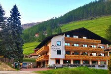
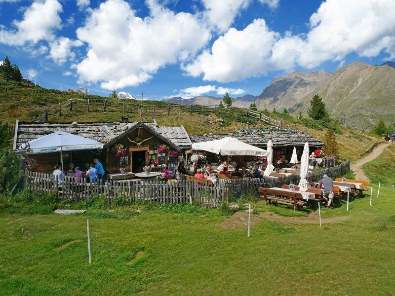
An impressive spectrum of blue and turquoise shades prompts the question of why the lake is called "Black Lake". From a small ridge, we can also look further down into the Valle di Silandro, where Lake Corces (Kortscher See) is located. Now we head back to Giogo Tasca and from there follow path no. 5 downhill to the charmingly rustic Bergl Hut, where we stop for refreshments. Path no. 5 then leads us along the Monte Gerstgras, initially on a level path and then downhill, returning us to the car park after a 5-hour mountain tour.
Author: AT
Experienced: September 2016
Last updated: 2026
-
- Starting point:
- Cóvolo Farms, Maso Corto (1,939 m a.s.l.)
-
- Overall time:
- 05:00 h
-
- Total route length:
- 11,9 km
-
- Altitude:
- from 1.939 m to 2.781 m
-
- Altitude difference (uphill | downhill):
- +919 m | -919 m
-
- Signposts:
- no. 5, 4, 5
-
- Destination:
- Giogo Tasca and Bergl Hut
-
- Resting points:
- Bergl Mountain Hut (May to November)
-
- Recommended time of year:
- Jan Feb Mar Apr May Jun Jul Aug Sep Oct Nov Dec
-
- Download GPX track:
- Mountain tour to the Giogo Tasca
-
- More information:
- The overall time shown above refers to the walking time only, not including breaks or stops.
If you want to undertake this hike, we recommend checking the weather and trail conditions in advance and on site before starting this hike!