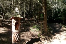
Campo, or Magdfeld, is usually mentioned alongside its mountain inn and the Rappenhöfe farms, a popular starting point for hikes
Image gallery: Campo


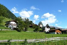
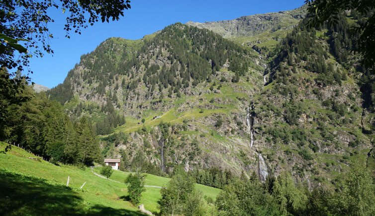
Situated well over 1,000 metres above sea level, Campo (Magdfeld) is one of the four hamlets that make up the municipality of Rifiano. Down in the valley lie the settlement of Sorgente and Valclava, an entire valley that stretches up the hillside. Although Campo on the Riederberg mountain belongs to Rifiano, it is only accessible from the Valclava near San Martino. Here, the mountain hamlet basks in the sun on the south-eastern slope of the Texel Group.
Campo and the other small villages are ideal starting points for walks and mountain tours. The Merano High Route leads directly past the Magdfeld inn, a popular resting place along the daily stage through the Val Passiria. The farms here are called Ausser-, Ober- and Untermagdfeld (that's to say Outer, Upper and Lower Campo), while the Rappenhöfe are known for their hiking car park.
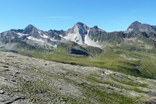
The hiking and alpine pasture area in the Gruppo di Tessa Nature Park above Campo is diverse. Here, the Fagls Hut and the eponymous lake invite you to take a break at an altitude of over 2,000 metres. From this point, you can reach the Passo di Valmara ridge via the Falser Kaser hut. This is a high alpine crossing that connects the Faltmar Valley near Plan with the area around Campo.
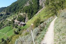
For mountain bikers, the well-paved road ends at Campo. A track takes you further to the car park at the Rappenhöfe farms, to the serviced Valser Hut, where you can recharge with herb dumplings and other dumpling variations, or to the Naserhof. The previously mentioned Valclava is known for its mountain farms and the Passiria Waterfall down in the valley.