A multi-day tour around the mountain massif of the Texel Group, always following the Alta Via di Merano, or Meraner Höhenweg
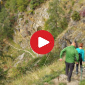
Image gallery: Hike on the Merano High Route


Trail closure info: The Merano High Route no. 24 between Monte Santa Caterina and the Val di Fosse valley is closed due to the risk of falling rocks. The closure is expected to last until the end of 2026, as extensive renovation work is required. A diversion is in place between Sellboden and the Nassreidhof farm (additional walking time: 1.5 hours).
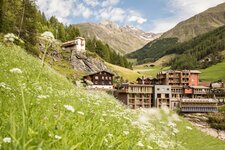
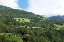
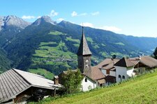
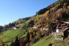
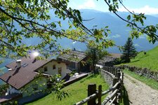
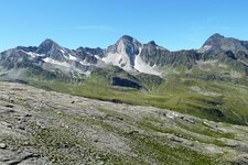
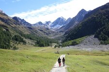
This hiking trail is considered one of the most beautiful in the Alpine region. Like a viewing terrace, it leads across alpine meadows and through mountain forests, passing summer pastures and mountain streams over several daily stages. Along the way, views open up over the Val Passiria, the Merano basin, the Val Senales, and the peaks of the Sarentino, Stubai, and Oetztal Alps.
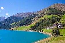
In fine weather, the view reaches as far as the Dolomites and the Brenta Group in Trentino. The entire high mountain trail covers around 100 kilometres and takes you once around the Texel Group, large parts of which are protected within the Gruppo di Tessa Nature Park. You can start and interrupt this circular route at any point.
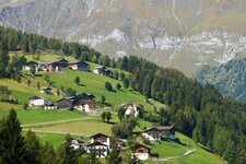
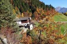
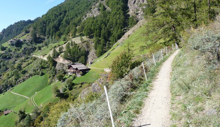
This allows you to plan a descent into the valley to find accommodation, or to stay overnight in a mountain hut. The trail is divided into a northern and a southern section. Along the way, you pass notable places such as the uninhabited Val di Fosse and the Muta Farms on the southern slopes of the Cima Muta, which are among the oldest farmsteads in South Tyrol.
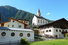
The northern Merano High Route leads from Monte Santa Caterina in the Val Senales to the hamlet of Ulfas above Plata in the Val Passiria. The walking time for this section is around 20 hours. From Ulfas, you have the option to descend to Plata and catch the scheduled bus to Merano, or continue the hike along the southern Merano High Route.
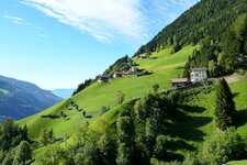
This section runs partly through high alpine terrain and crosses the 2,895-metre-high Passo Gelato, called Eisjöchl in German. Approaching from Ulfas, the elevation gain on this stage is around 1,500 metres. Along the Merano High Route, there are a number of places to stop for refreshments and overnight stays - a remarkable hike that celebrated its 40th anniversary in 2025!
Description by stages: Merano High Route
Last updated: 2026
-
- Total route length:
- 93,3 km
-
- Altitude:
- from 781 m to 2.895 m
-
- Altitude difference (uphill | downhill):
- +4876 m | -5050 m
-
- Signposts:
- no. 24
-
- Resting points:
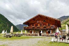
- VAL DI FOSSE IN THE VAL SENALES: Jägerrast Verderkas mountain inn (Easter to All Saints' Day), Casera di Mezzo Mountain Hut (May to October), Maso Gelato (May/June to October), Rableid Hut (May to October) - VAL PASSIRIA: Petrarca Mountain Hut (July to September), Lazins Hut (May to October) - MERANO AREA: Unterstell inn, Hochmuth Alta Muta inn, Steinegg inn (all three of them from March to November), Leiter Mountain Hut (April to November), Casa del Valico Mountain Hut (June to October), Tablà Hut (May to October)
-
- Recommended time of year:
- Jan Feb Mar Apr May Jun Jul Aug Sep Oct Nov Dec
-
- Download GPX track:
- Hike on the Merano High Route
-
- More information:
- Walking time: 5 to 9 days in total, with 2.5 to 8.5 hours of walking time per day. The distance and elevation gain given here are based on the daily stages we completed, averaging four hours of walking per day (nine stages, 33.25 hours).
We highly recommend checking the weather and trail conditions in advance and on site before starting this tour.