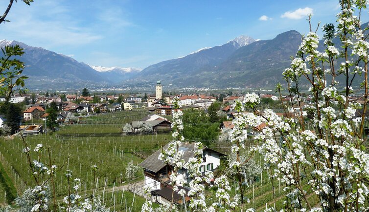
When apple and pear trees bloom, a stroll along the Waalweg in Lana is a special delight
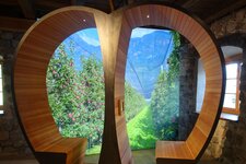
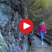
Image gallery: Hike along the Brandis Waalweg path
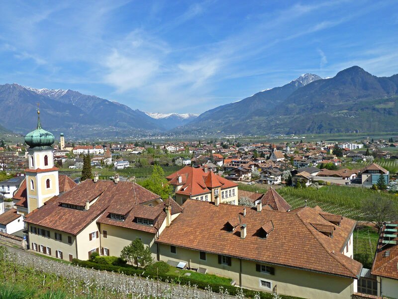
The Brandis water channel was built in 1835 when the Count of Brandis wanted to secure the irrigation of his estates. Today, you can find a pleasant walking path here that runs along the Monte Croce hill. The starting point for our spring walk is the junction of the Via Palade road and the pedestrian area Am Gries in Lana di Sopra. After walking about 500 metres along the Via Palade, the Brandis Waalweg path - or simply Brandis-Waalweg - branches off to the left.
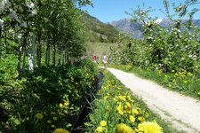
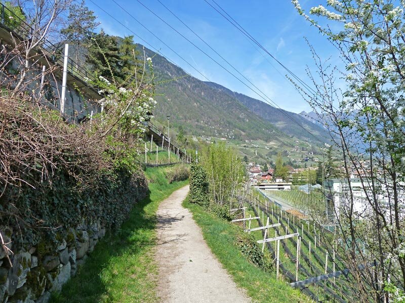
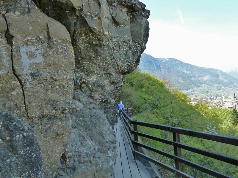
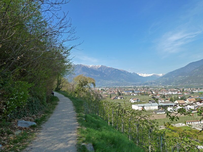
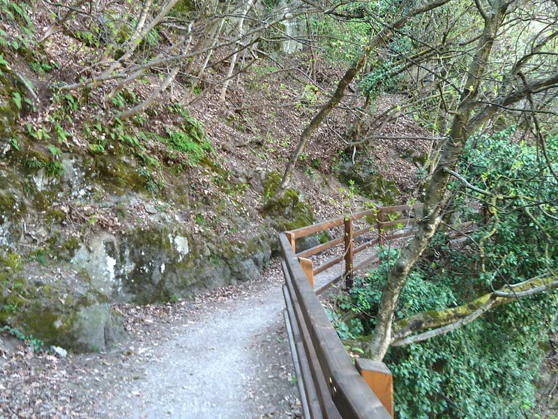
We continue along path no. 10 between orchards and vineyards, partly through deciduous forest, past the beautiful Lanegg monastery complex. The Brandis Waalweg path has two special features: The Waal itself, the small stream that irrigates the fields, is not visible as it runs in a pipe beneath the path. Furthermore, unlike other Waalwege paths, this one is pleasantly wide and therefore suitable for pushchairs and wheelchairs.
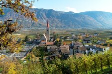
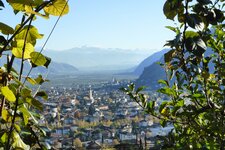
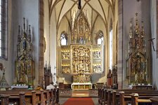
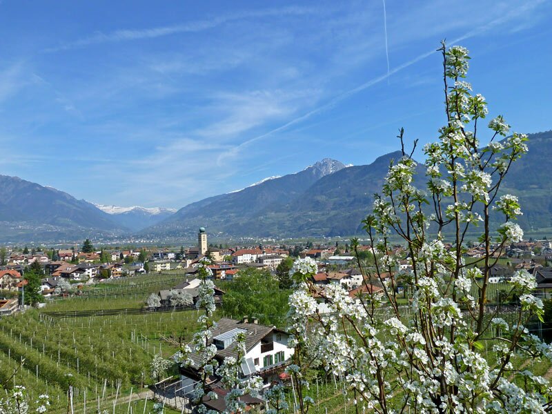
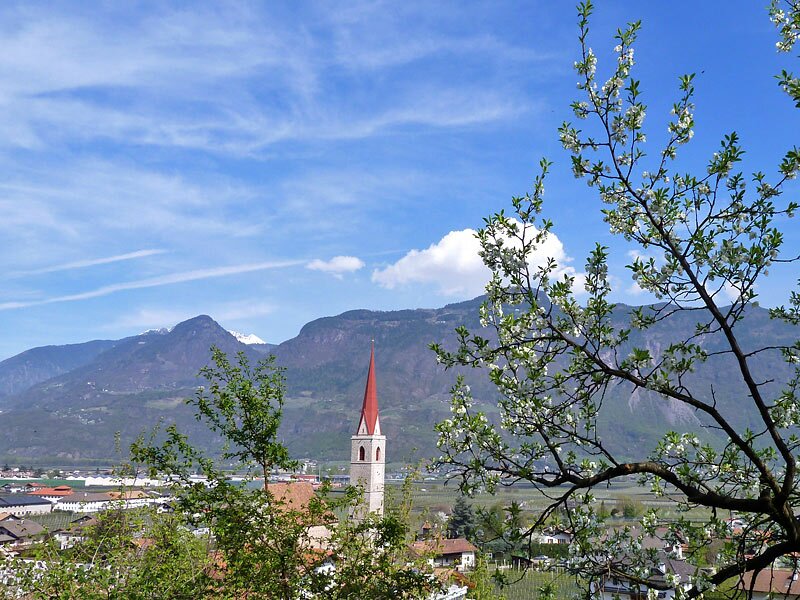
The sweeping view covers the different districts of Lana. As we pass St. Margareth's Church, a Romanesque gem, we approach Lana di Sotto. There is plenty of time for a detour into the village, past the South Tyrolean Fruit Growing Museum to the parish church of Lana di Sotto, famous for its Schnatterpeck Altar. Both the museum and the altar are well worth a visit.
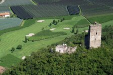
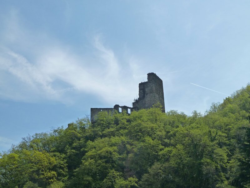
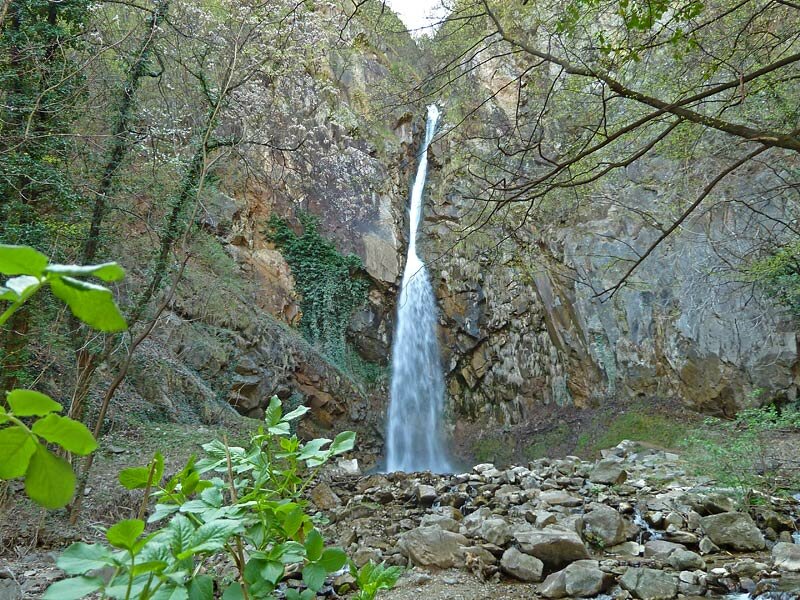
With a view of the Brandis ruin, once the ancestral seat of the Counts of Brandis, and the Lana Golf Club on the grounds of the Brandis estate, we head into the valley, where you can see the Rio Brandis stream and its waterfall. Because the entire path is no longer than about three kilometres, we walk back along the same route - the apple blossom in April is simply too beautiful to miss!
Author: AT
Experienced: April 2011
Last updated: 2026
-
- Starting point:
- Am Gries - Via Palade junction in Lana di Sopra (327 m a.s.l.)
-
- Overall time:
- 01:00 h
-
- Total route length:
- 3,0 km
-
- Altitude:
- from 310 m to 384 m
-
- Altitude difference (uphill | downhill):
- +92 m | -47 m
-
- Signposts:
- no. 10, 1
-
- Destination:
- Brandis Waterfall after the parish church in Lana di Sotto (310 m a.s.l.)
-
- Resting points:
- Waalrast restaurant (March to November)
-
- Recommended time of year:
- Jan Feb Mar Apr May Jun Jul Aug Sep Oct Nov Dec
-
- Download GPX track:
- Hike along the Brandis Waalweg path
-
- More information:
- The overall time shown above refers to the walking time only, not including breaks or stops. The information refers to the hike from Lana di Sopra to Lana di Sotto - we walked back along the same route (which doubles the distance and time - alternatively, bus no. 218 will take you from the parish church in Lana di Sotto back to Lana di Sopra in 15 minutes).
If you want to undertake this hike, we recommend checking the weather and trail conditions in advance and on site before starting this hike!