The Tisner Gall is a 1,630-metre-high elevation between the Monte Luco and the terrace of Tesimo and Prissiano
Image gallery: Tisner Gall circular walk

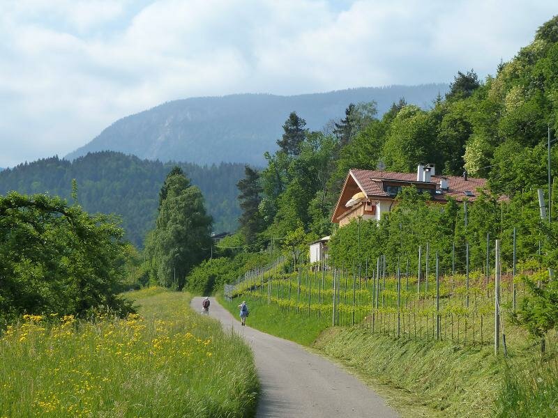
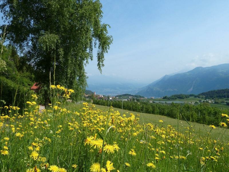
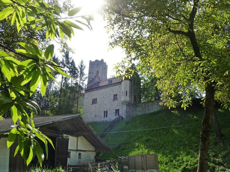
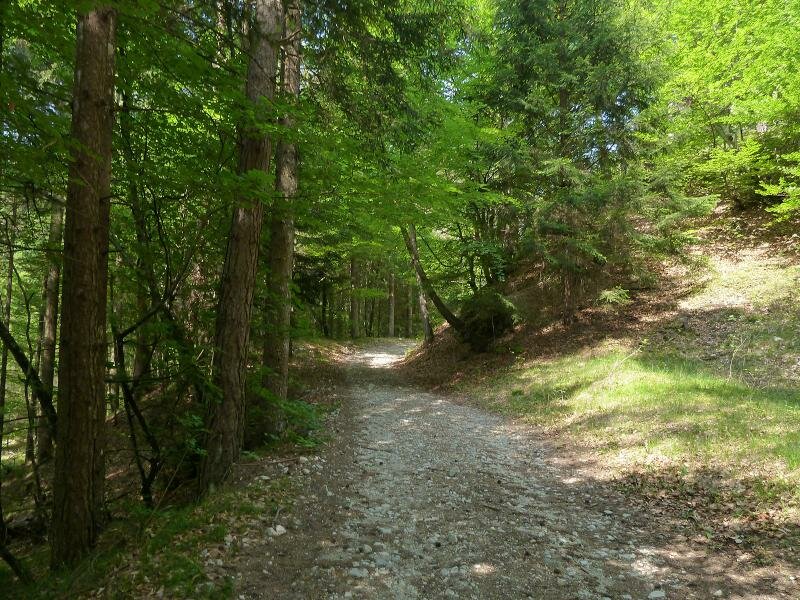
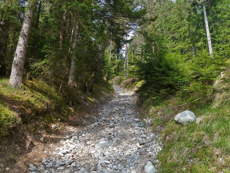
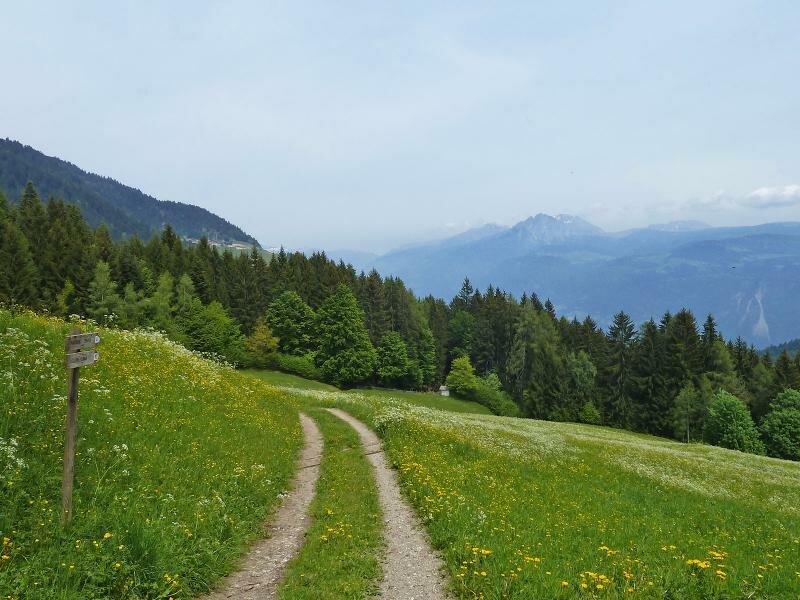
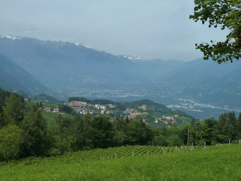
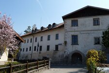
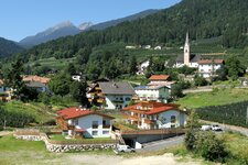
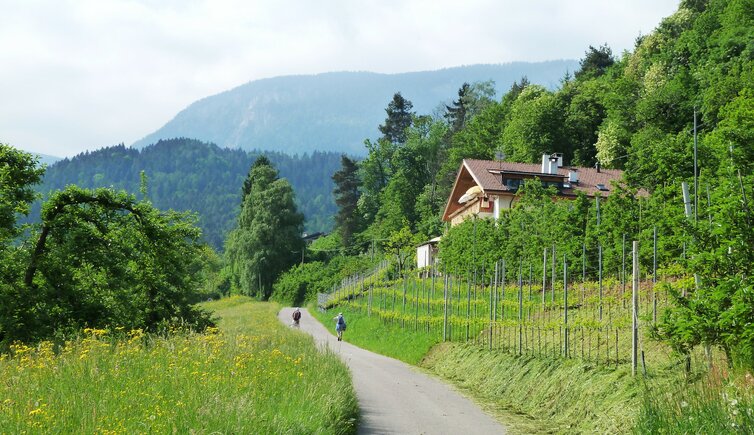
The starting point for our May hike is the village centre of Tesimo. We follow the road southwards and turn right onto the upper meadow path (Oberer Wiesenweg, no. 13). Leading through orchards and meadows at the edge of the woods, the small road takes us to Zwingenberg Castle. Here, the asphalt ends, and we continue on a forest track to the hamlet of Caprile.
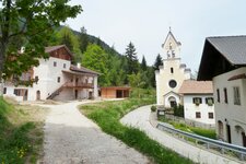
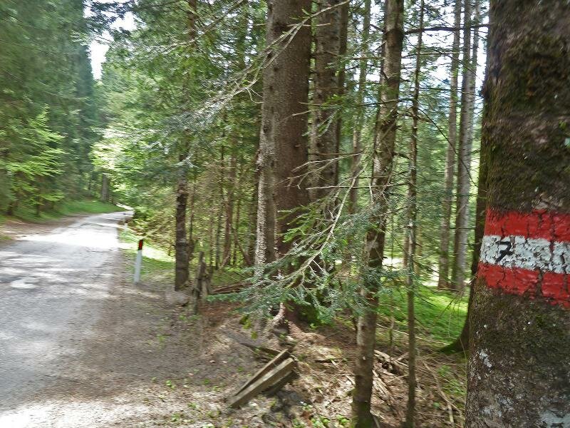
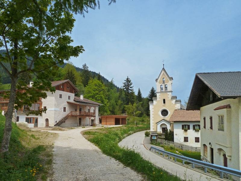
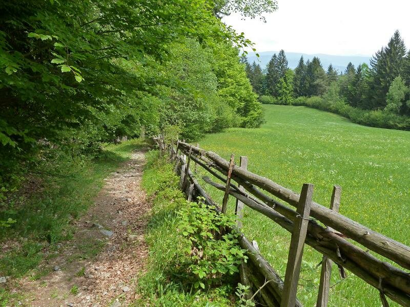
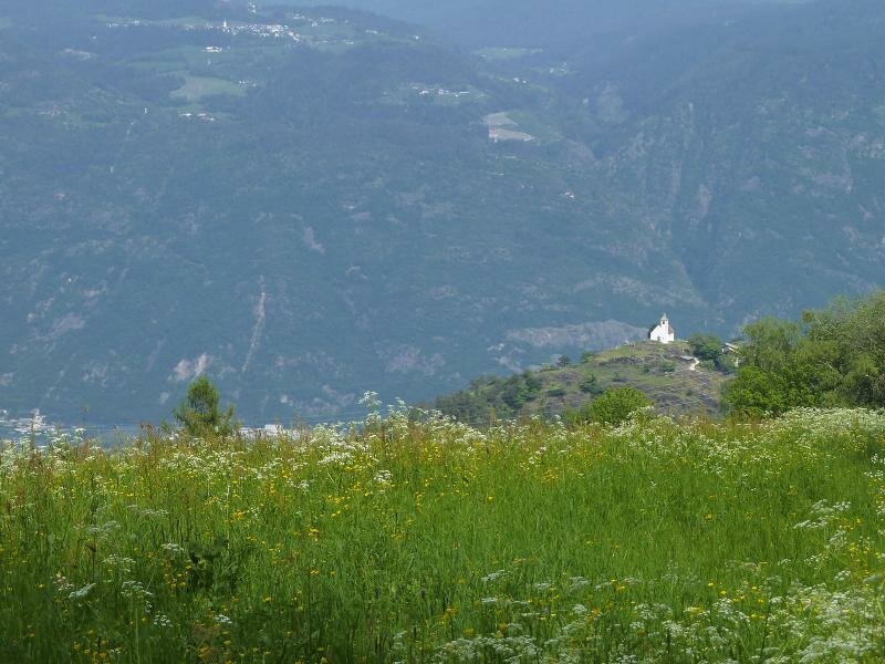
We walk past the St. Nicholas Church and cross the Passo Palade road, which leads from Lana up to the pass height. Path no. 4B soon becomes quite rough as it climbs up to the meadows and farms of Plazzoles, situated at almost 1,300 metres above sea level. It is a short but, in warm weather, rather strenuous section. Path no. 7 now follows an asphalt road.
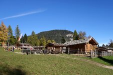
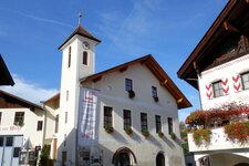
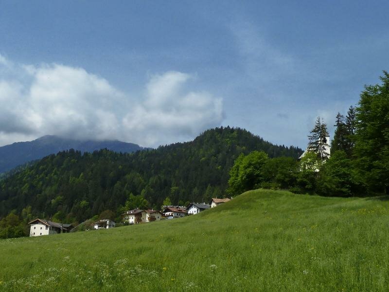
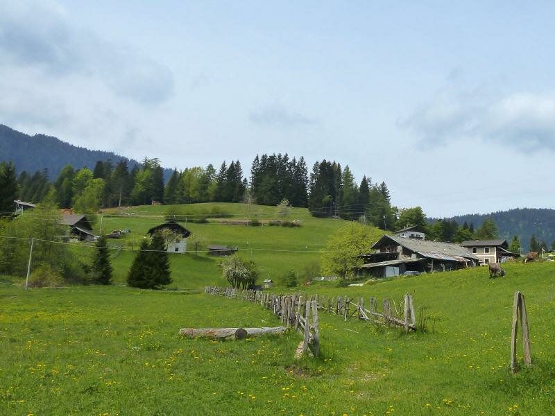
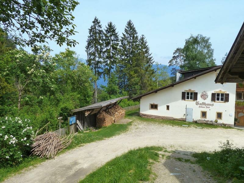
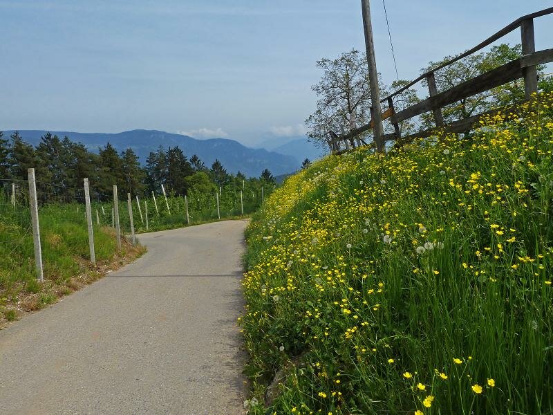
Plazzoles itself is a hamlet featuring the Natz and Rinnerhof mountain inns, peacefully set in a landscape defined by mountain meadows. Here, we enjoy some beautiful views stretching as far as Mt. Picco Ivigna and the entrance to the Val Passiria. We continue to the Unterhauser Farm, before descending on path no. 10 to the Bagni di Foiana near Foiana, a historic health bath and inn.
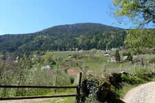
Our hiking poles help us find our footing on the slippery terrain. After a break at the Bagni di Foiana inn, we follow paths no. 8A and no. 4 to the farms of Narano and then hike back to Tesimo, where we complete the tour after four hours.
Author: AT
Experienced: May 2015
Last updated: 2026
-
- Starting point:
- village centre of Tesimo (638 m a.s.l.)
-
- Overall time:
- 04:10 h
-
- Total route length:
- 14,0 km
-
- Altitude:
- from 638 m to 1.289 m
-
- Altitude difference (uphill | downhill):
- +718 m | -718 m
-
- Route:
- Tesimo - Zwingenberg Castle - Caprile - Plazzoles - Unterhauser Farm - Bagni di Foiana - Narano - Tesimo
-
- Signposts:
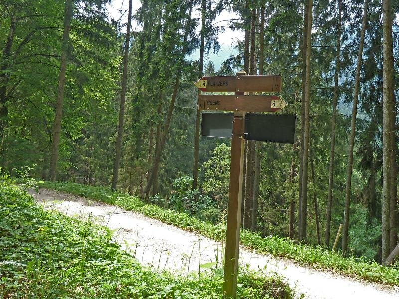
- "Oberer Wiesenweg", no. 13, 4B, 7, 10, 8A, 4
-
- Resting points:
- Waldheim snack station, Natz mountain inn (April to November), Rinnerhof farm tavern, Bagni di Foiana inn (March to November)
-
- Recommended time of year:
- Jan Feb Mar Apr May Jun Jul Aug Sep Oct Nov Dec
-
- Download GPX track:
- Tisner Gall circular walk
-
- More information:
- The overall time shown above refers to the walking time only, not including breaks or stops. The highest point of the hike is located in Plazzoles at 1,289 metres above sea level.
If you want to undertake this hike, we recommend checking the weather and trail conditions in advance and on site before starting this hike!