From the promenades of Merano to the wine and apple country of Lagundo - a walk through the landscape of the Burggraviato
Image gallery: Tappeiner Promenade and Lagundo Waalweg path

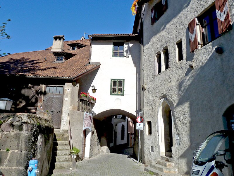

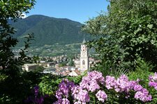
We chose the St. Nicholas Church in the Old Town of Merano as the starting point for our walk. The route takes us from the local promenades to the Lagundo Waalweg path. We walk through the alleys of Steinach, the oldest district. Then we pass through the Passiria Gate towards Monte San Zeno, follow the signs for the Gilf Promenade, and climb the steps to the Gunpowder Tower.
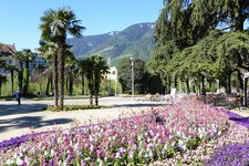
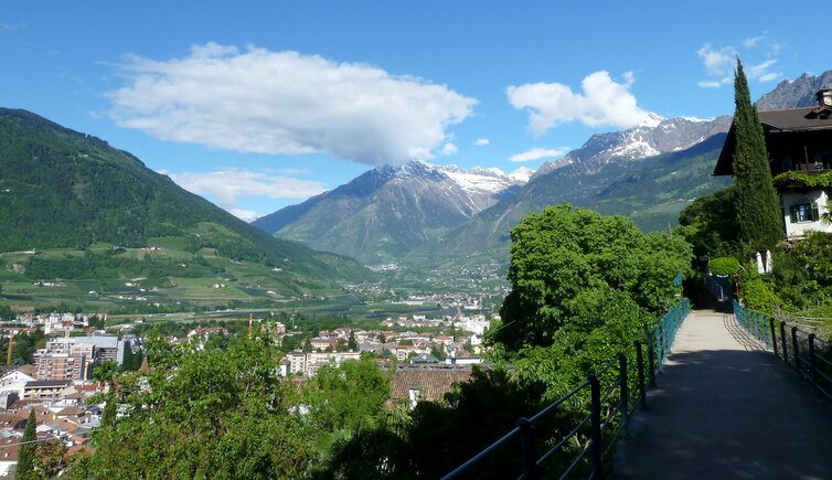
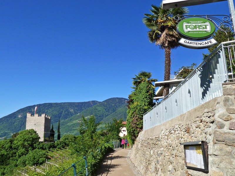
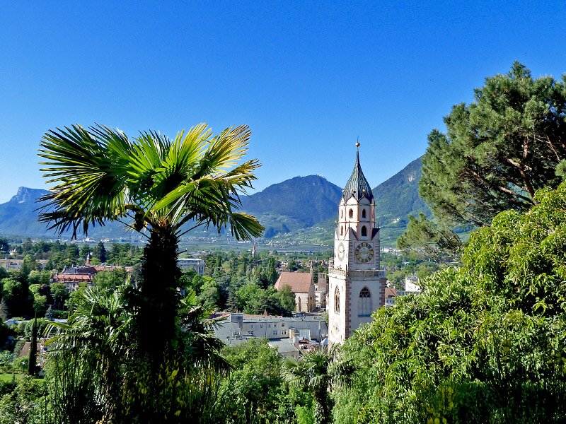
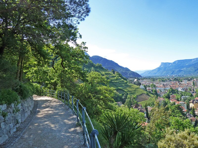
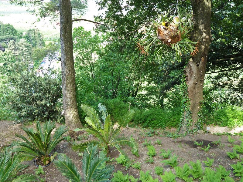
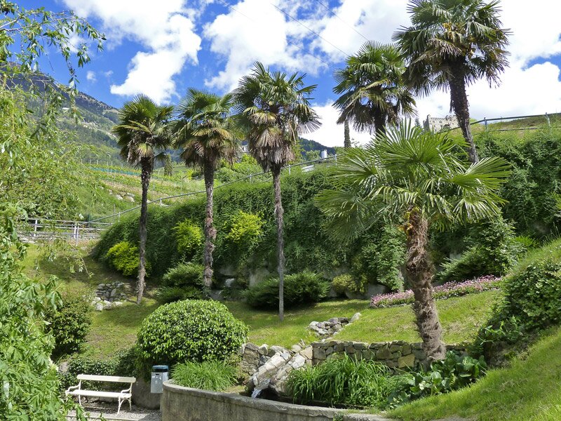
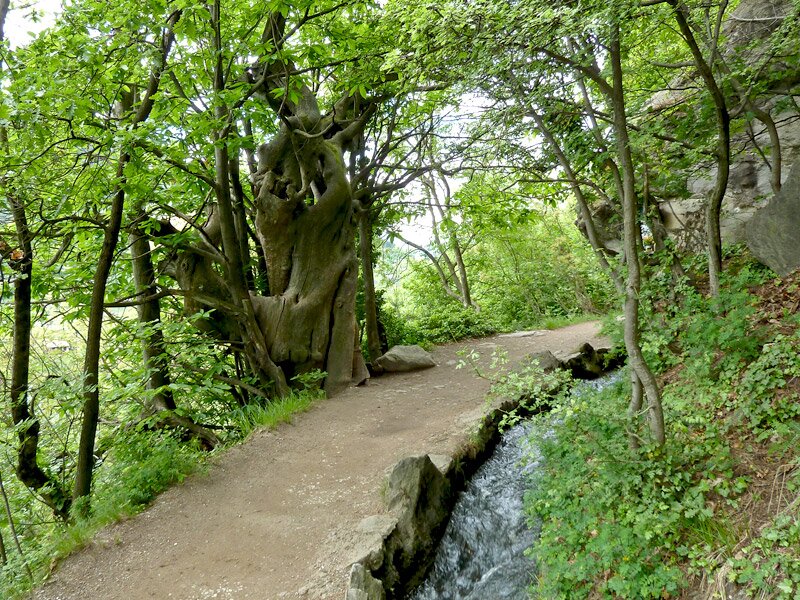
It is an iconic landmark of Merano. The view stretches from the district of Maia Alta to the Merano Arcades. We now stand at the starting point of the Tappeiner Promenade (Tappeinerweg). This path winds westwards along the Monte Benedetto da Quarazze mountain. It leads through a park and garden landscape designed by Dr Franz Tappeiner, a local doctor and botanist.
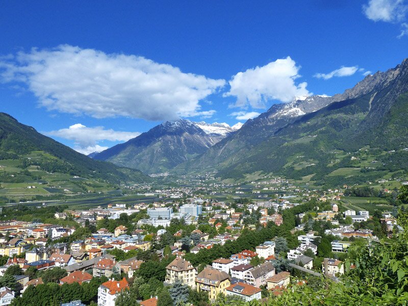
We can soak up the sun here. It feels as if a gentle breeze is blowing up from the sea. There is no sea here, of course, but the old alleys of Merano below us and various cafés and restaurants along the way. After an hour of walking, we reach Quarazze where the Tappeiner Promenade ends.
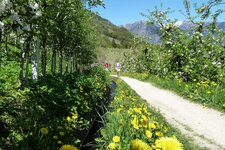
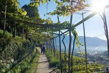
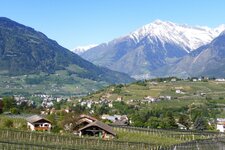
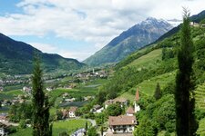
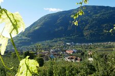
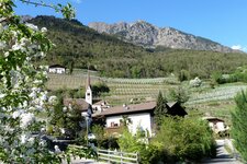
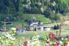
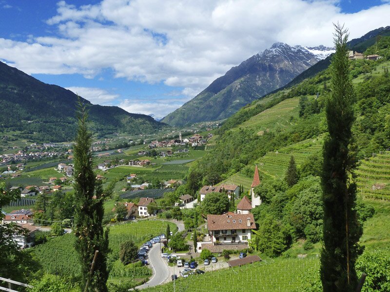
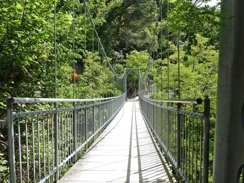
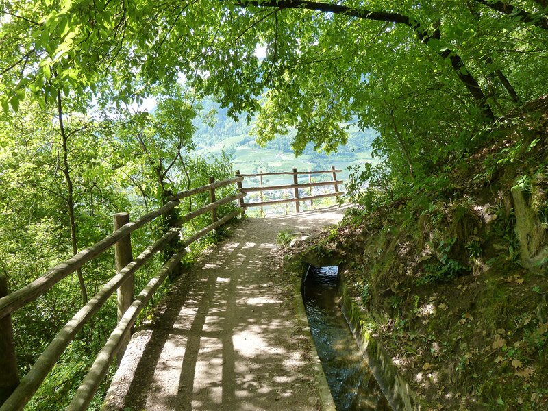
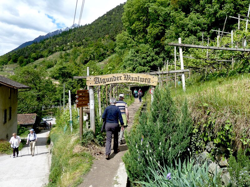
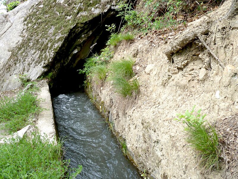
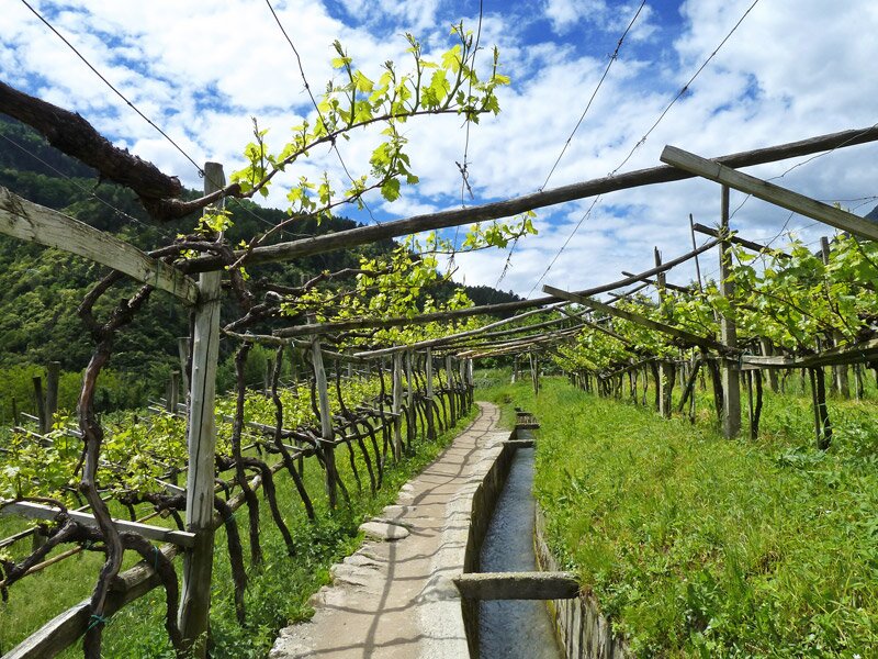
We follow the road towards Tirolo village for a few hundred metres. Soon, a suspension bridge leads us onto the Roggia di Lagundo. This path continues along the sunny slope. It follows the ancient irrigation channel through a landscape filled with vineyards and orchards.
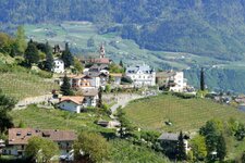
We walk past Lagundo and its hamlets of Plars di Mezzo and Plars di Sopra and finally reach the end of the Lagundo Waalweg path at Tel. From here, we take the local bus back to our starting point. The interesting Lagundo Wine Trail also starts directly at the Waalweg path.
Author: AT
Experienced: May 2013
Last updated: 2026
-
- Starting point:
- St. Nicholas Church at the end of the Merano Arcades (323 m a.s.l.)
-
- Overall time:
- 02:30 h
-
- Total route length:
- 8,4 km
-
- Altitude:
- from 323 m to 503 m
-
- Altitude difference (uphill | downhill):
- +192 m | -25 m
-
- Signposts:
- "Tappeinerweg", "Algunder Waalweg"
-
- Destination:
- end of the Algundo Waalweg path near Tel
-
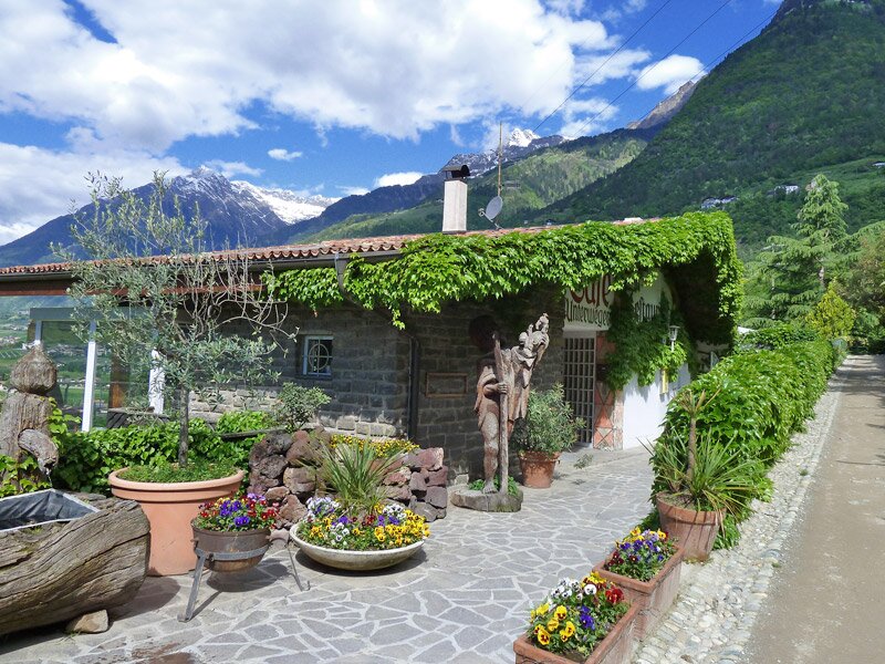
- Resting points:
- Saxifraga Stub'n restaurant, Unterweger coffee bar and restaurant, Konrad Lagundo coffee bar, Leiter am Waal restaurant
-
- Recommended time of year:
- Jan Feb Mar Apr May Jun Jul Aug Sep Oct Nov Dec
-
- Download GPX track:
- Tappeiner Promenade and Lagundo Waalweg path
-
- More information:
- The overall time shown above refers to the walking time only, not including breaks or stops. The dates apply to the hike from Merano to Tel - the return journey is by bus (line 213 to the Merano railway station, 25 minutes). Pleasant walking trail, well signposted, and suitable for children: It is ideal in April, May and autumn. It is possible to walk just sections of the trail (access points include Quarazze and Plars di Mezzo).
If you want to undertake this hike, we recommend checking the weather and trail conditions in advance and on site before starting this hike!