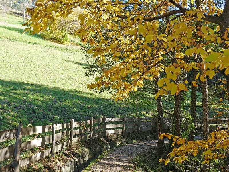
This pleasant walk on the slopes above Verdines and Scena is highly recommended, especially in autumn or spring
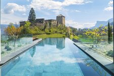
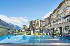
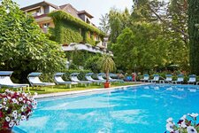
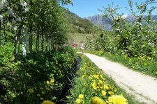
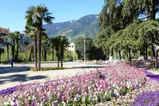
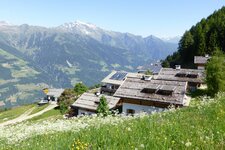
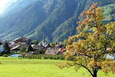
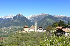
Image gallery: Hike along the Scena Waalweg path
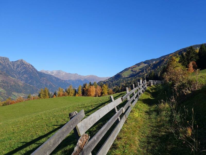
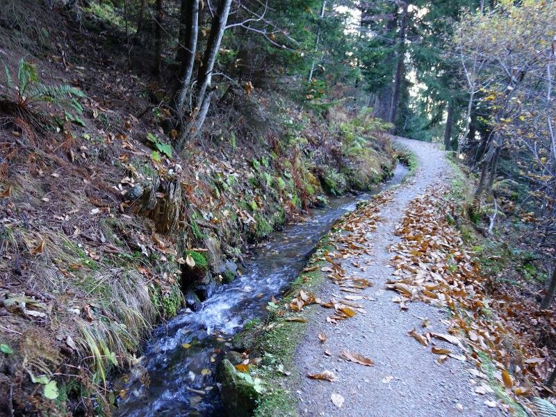
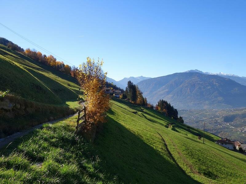
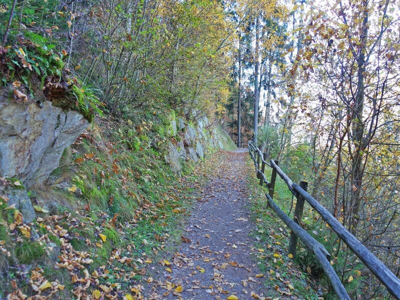
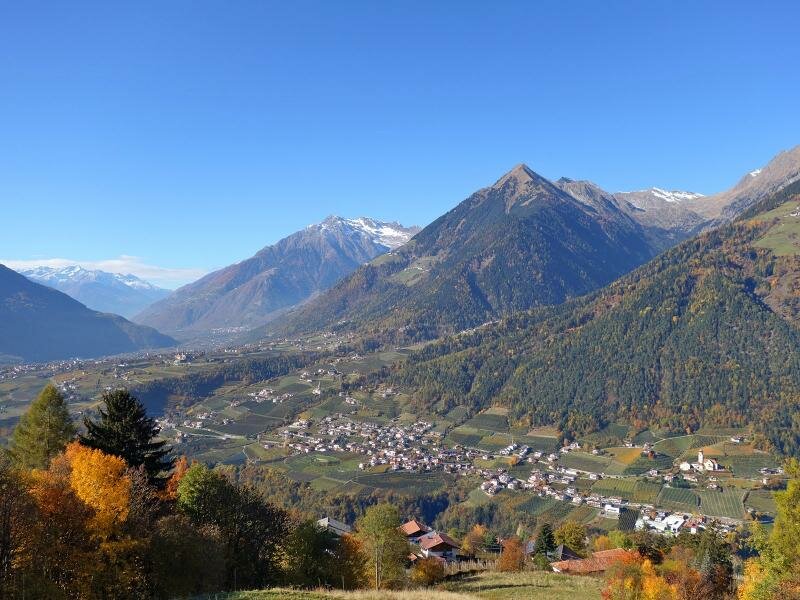
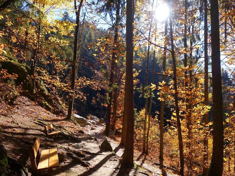
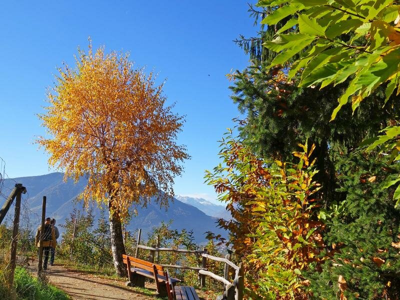
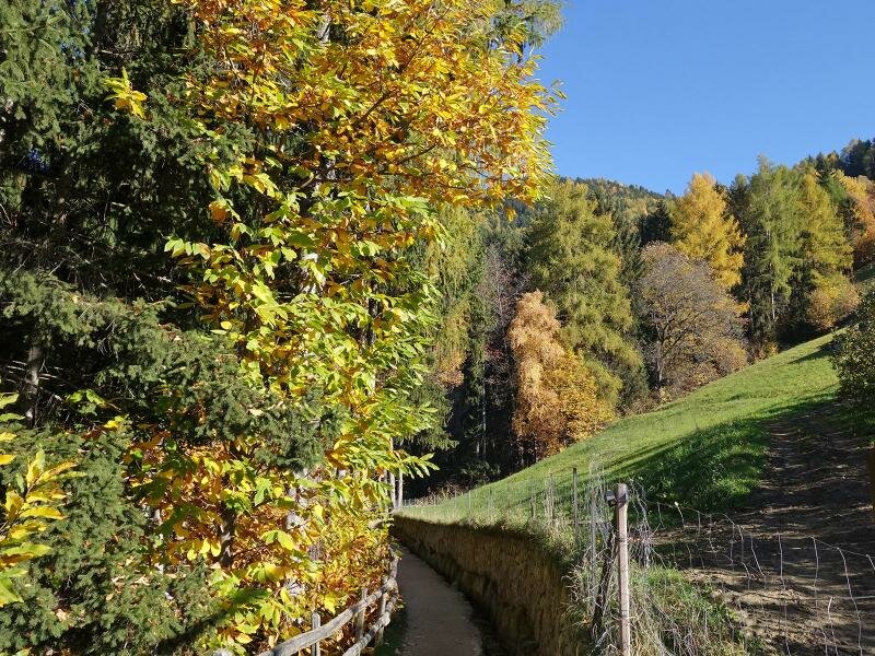
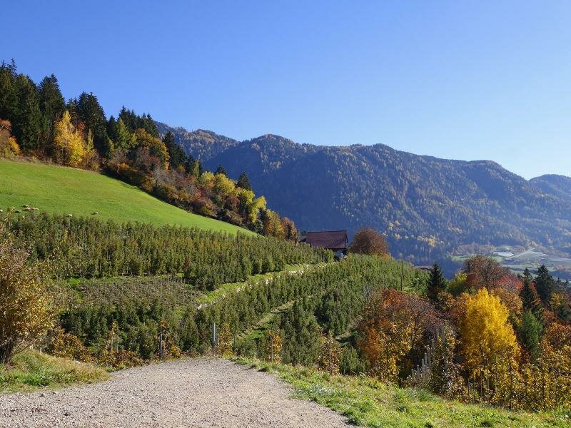
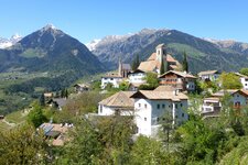
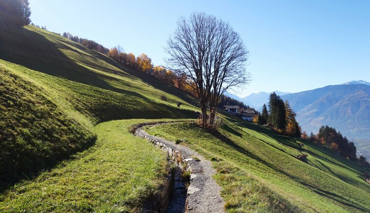
Like other villages in the western part of South Tyrol, Scena has its own "Waal", a historical irrigation channel built to water the fields. A pleasant path with a gentle incline runs alongside the Scena irrigation channel. It mostly follows the edge of the forest and leads to some great viewpoints over the valley floor. We start our hike in Verdines, a district of Scena.
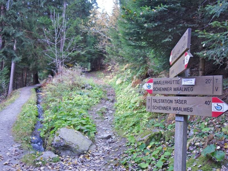
Verdines can also be reached from the main village in just a few minutes by public bus. Starting at the church, we first follow path no. 16 uphill across the meadows until we reach the junction with the Waalweg path at an altitude of approximately 1,050 metres. Here, we walk towards the "Talstation Taser". The murmuring water accompanies us on our way down to Hasenegg.
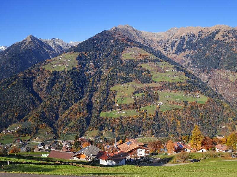
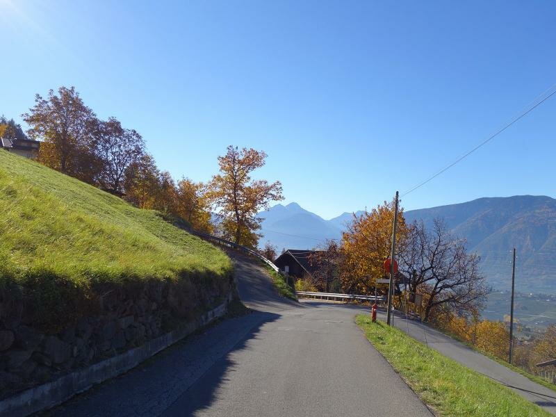
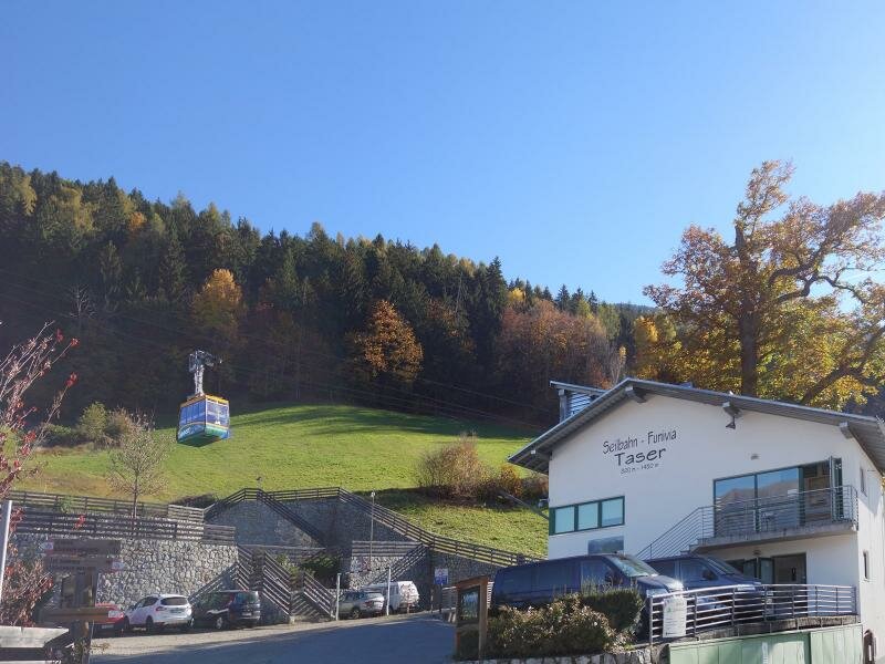
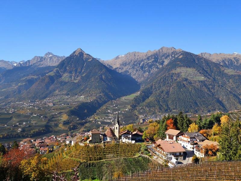
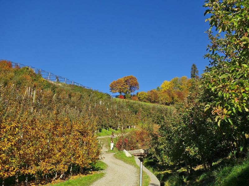
This is followed by a short stretch along the road. As the path alternates between woods and meadows, we soon arrive at the bottom station of the Taser Cable Car, which runs from the valley up to the Taser Mountain Hut. After crossing the Schnuggenbach stream, the route takes us to the Cafè Am Waal snack station and continues towards San Giorgio di Scena.
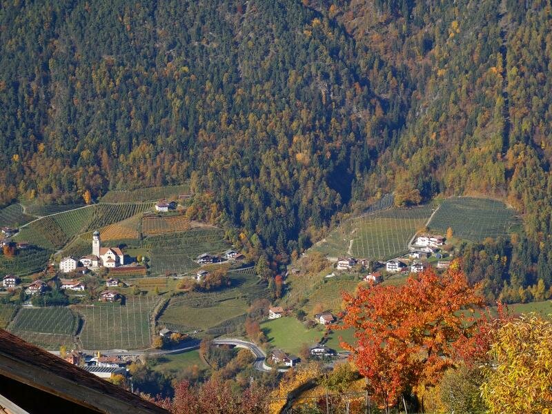
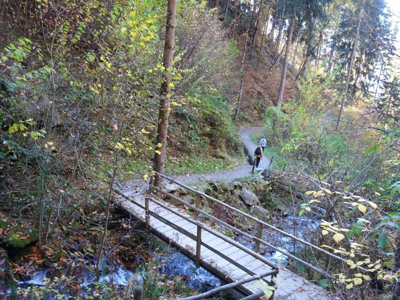
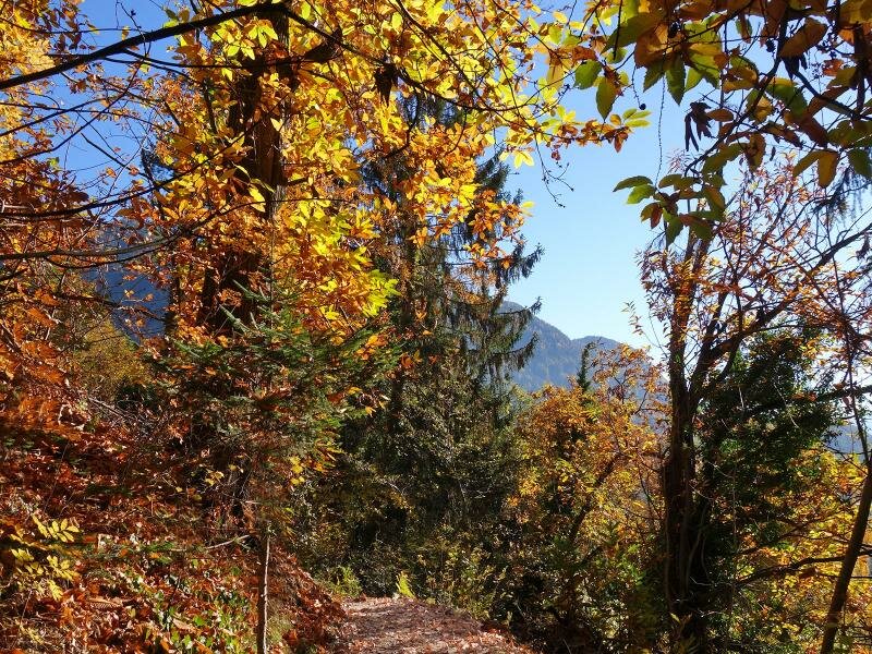
At this point, it is also possible to walk down through the hamlet back to Scena. However, those who wish to experience the entire Scena Waalweg path right to the end (as we do) can continue walking through orchards and woods as far as the gorge of the Val di Nova. As the path slopes gently downwards and is therefore no longer strenuous, this option is recommended.
In the gorge, we follow the path down to the valley station of the Merano 2000 Cable Car near Maia Alta. From here, there are two options for returning to the starting point in Verdines: on foot via the Via Goyen road or by public bus. After three hours of walking, we choose the second, more comfortable option and conclude our hike back in Verdines.
Author: AT
Experienced: November 2015
Last updated: 2026
-
- Starting point:
- Verdines near Scena (840 m a.s.l.)
-
- Overall time:
- 02:50 h
-
- Total route length:
- 9,6 km
-
- Altitude:
- from 661 m to 1.056 m
-
- Altitude difference (uphill | downhill):
- +243 m | -414 m
-
- Signposts:
- no. 16, "Schenner Waalweg", 3A
-
- Destination:
- valley station of the Merano 2000 Cable Car near Merano
-
- Resting points:
- Köstenthaler restaurant (March to October), Pichler da marzo a ottobre, Cafè Am Waal snack station (March to November), Georgenhof restaurant, Moserhof (March to November)
-
- Recommended time of year:
- Jan Feb Mar Apr May Jun Jul Aug Sep Oct Nov Dec
-
- Download GPX track:
- Hike along the Scena Waalweg path
-
- More information:
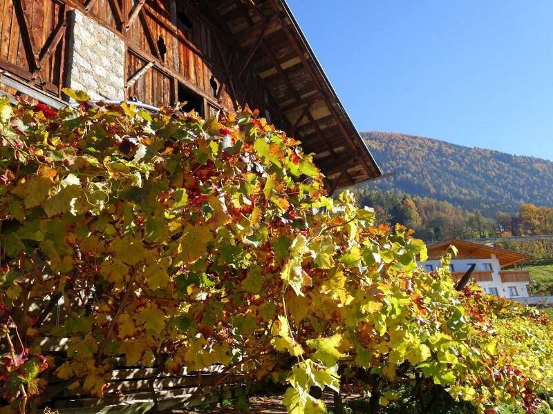
- The overall time shown above refers to the walking time only, not including breaks or stops. The dates apply to the walk from Verdines to the Val di Nova - the return journey is by bus (lines 1 and 231, changing at Merano, 45 minutes). The best seasons for this hike are spring and autumn, in summer mostly it's too hot. Moreover in these seasons you can enjoy either the apple blossom or the chestnut harvest and Toerggele tradition.
If you want to undertake this hike, we recommend checking the weather and trail conditions in advance and on site before starting this hike!