An early autumn hike from the panoramic mountain above Lana into the Val d’Ultimo
Image gallery: Hike from the Monte San Vigilio to San Pancrazio
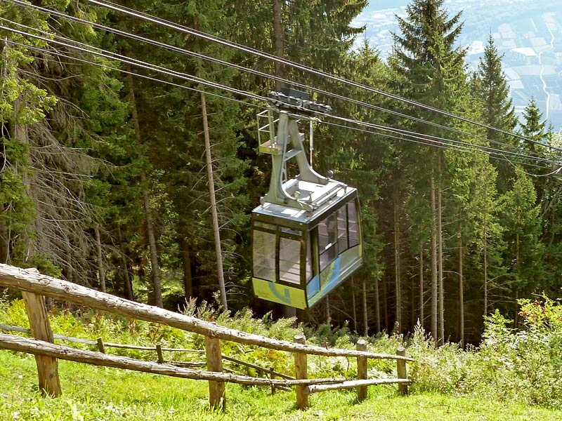
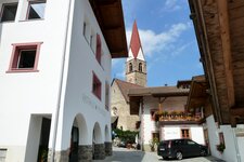
The warm September sun shines on the mountain slope, but the hot summer days have passed - ideal hiking weather above the valley floor. From Lana di Sopra, the Monte San Vigilio Cable Car, which was renovated a few years ago, takes us up to an altitude of 1,490 metres. The Monte San Vigilio, reaching 1,743 metres at its highest point, is a popular destination mountain and the crossing over the north-eastern foothills of the Gioveretto Group in the Ortles Alps.
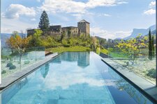
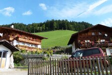
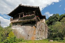
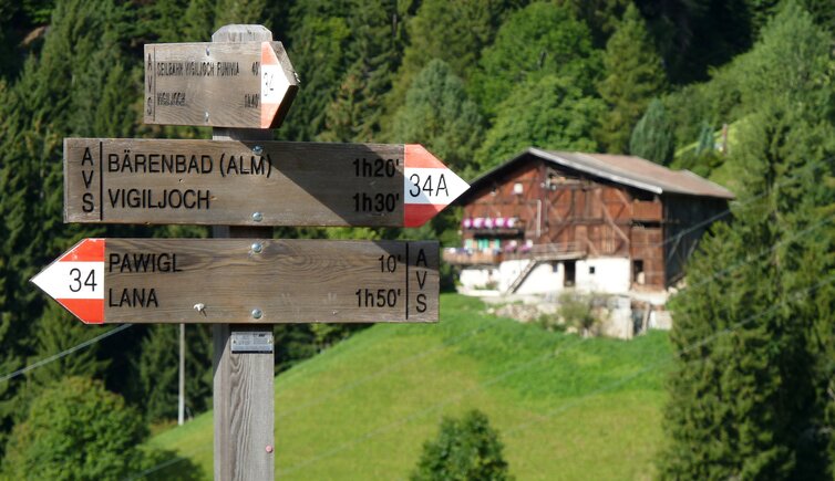
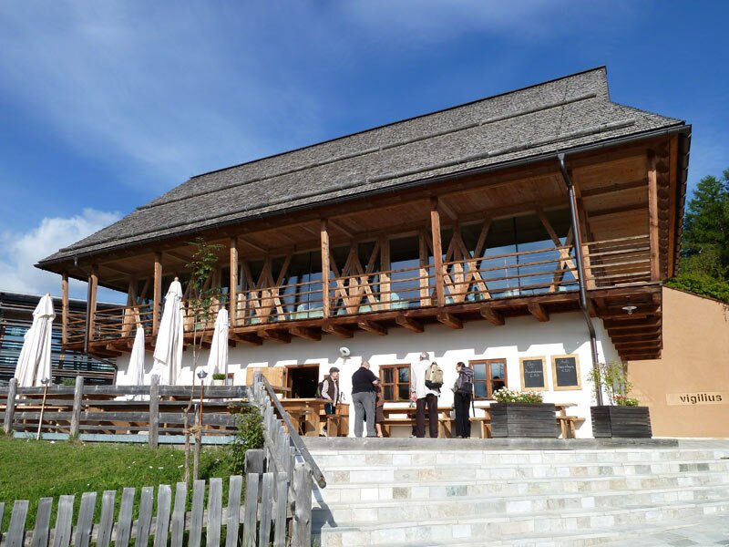
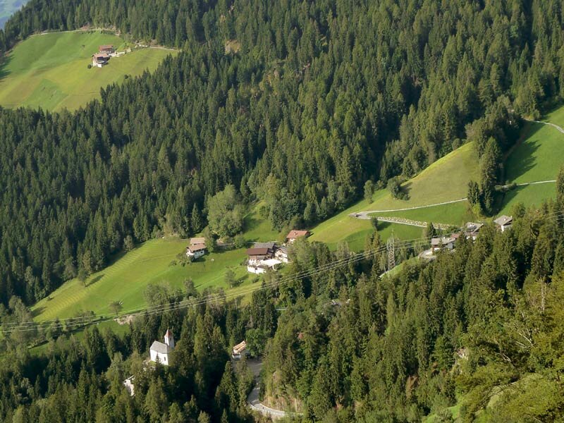
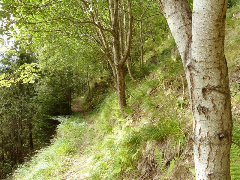
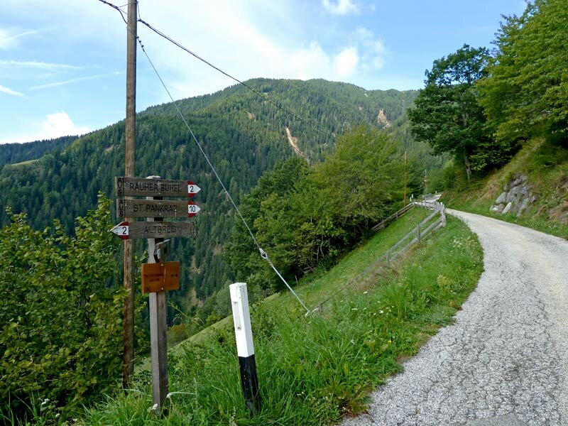
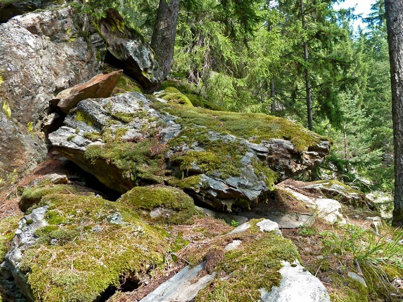
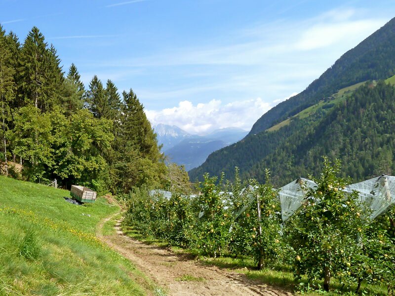
Walking past the Vigilius Mountain Resort, we descend path no. 34 to Pavicolo. It is located about 300 metres lower, situated just above the road leading into the Val d'Ultimo. The mountain farms sit amidst meadows at the edge of the forest. This is where path no. 10 begins, which leads us further to San Pancrazio: The route runs through coniferous forests and past old farmhouses.
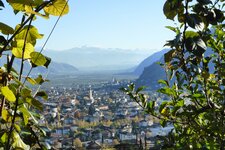
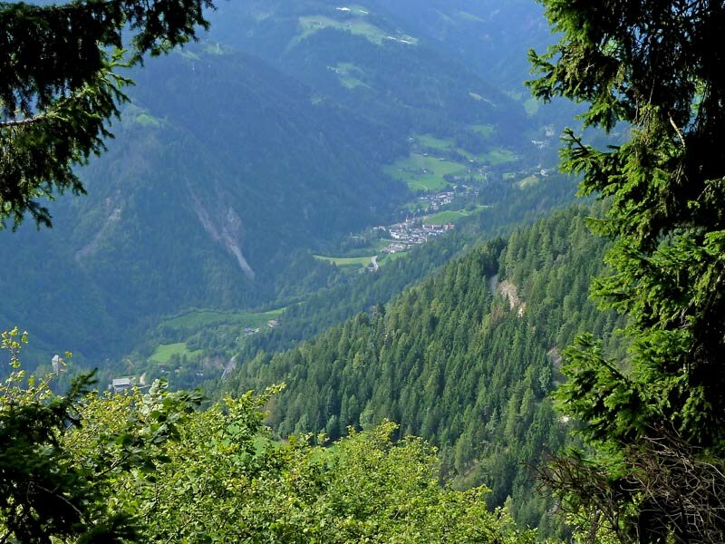
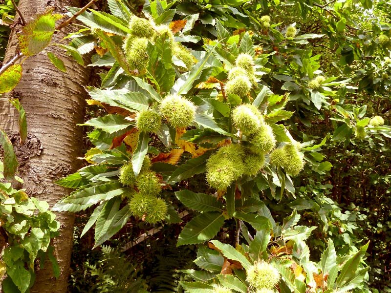
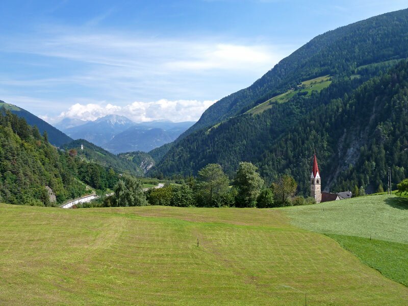
Several times, the path goes through small side valleys and hollows where mountain streams flow. The descent to San Pancrazio repeatedly crosses the paved road that connects Guggenberg and Alpreid with the Val d'Ultimo. San Pancrazio, located at an altitude of 735 metres, is characterised by mixed and deciduous forests, while fruit and chestnut trees grow in the meadows.
It took us four hours to reach the village - time for a break. After a quick stroll around the village and a stop for refreshments, we take the public bus back to Lana di Sopra (Oberlana).
Author: AT
Experienced: September 2010
Last updated: 2026
-
- Starting point:
- Monte San Vigilio mountain station above Lana (1,490 m a.s.l.)
-
- Overall time:
- 04:00 h
-
- Total route length:
- 11,1 km
-
- Altitude:
- from 735 m to 1.490 m
-
- Altitude difference (uphill | downhill):
- +249 m | -1012 m
-
- Signposts:
- no. 34, 10
-
- Destination:
- San Pancrazio (735 m a.s.l.)
-
- Resting points:
- Restaurant 1500 at the Vigilius Mountain Resort, Pawigler Wirt inn (reopened in May 2026)
-
- Recommended time of year:
- Jan Feb Mar Apr May Jun Jul Aug Sep Oct Nov Dec
-
- Download GPX track:
- Hike from the Monte San Vigilio to San Pancrazio
-
- More information:
- The overall time shown above refers to the walking time only, not including breaks or stops. The dates apply to the walk from the Monte San Vigilio to San Pancrazio - the return journey is by bus (route no. 245, 25 minutes).
If you want to undertake this hike, we recommend checking the weather and trail conditions in advance and on site before starting this hike!