Uphill through the mixed forest to the Gsteierhof and the middle station of the Merano 2000 Cable Car - an autumn hike
Image gallery: Hike from the Val di Nova to the Gsteier mountain inn
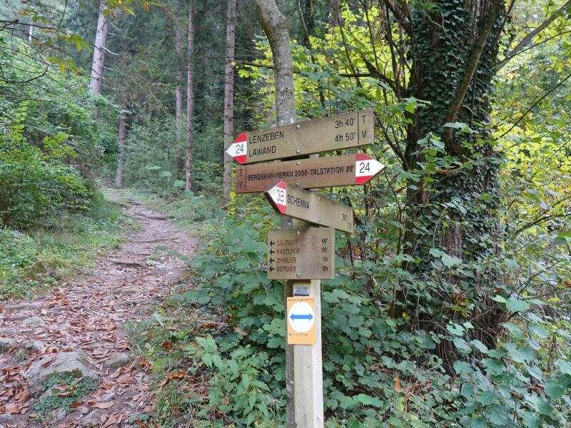
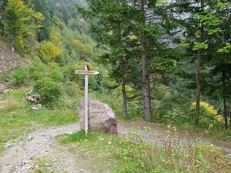
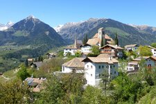
The starting point for this hike through the forest above Merano is the car park at the valley station of the Merano 2000 Cable Car in the Val di Nova valley near Maia Alta. We cross the Avelengo road and follow signpost no. 24 towards Lenzeben near the industrial estate.
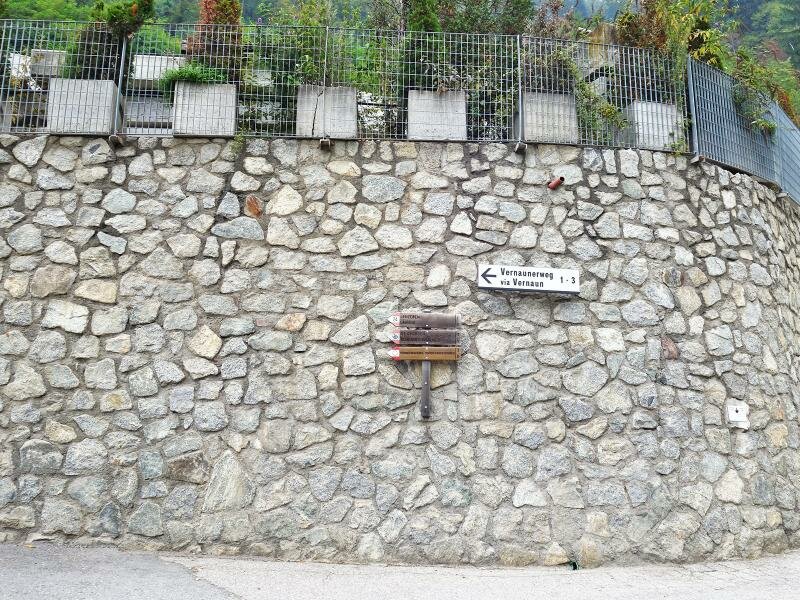
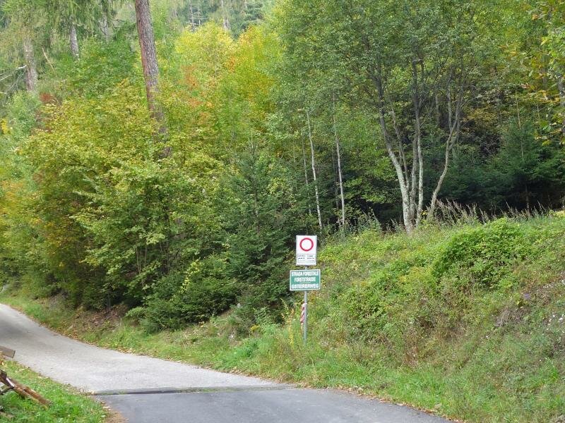
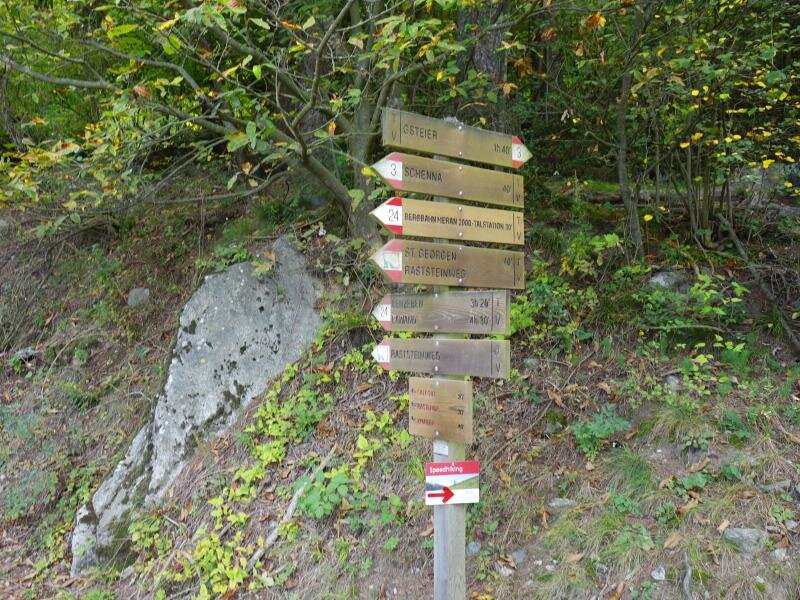
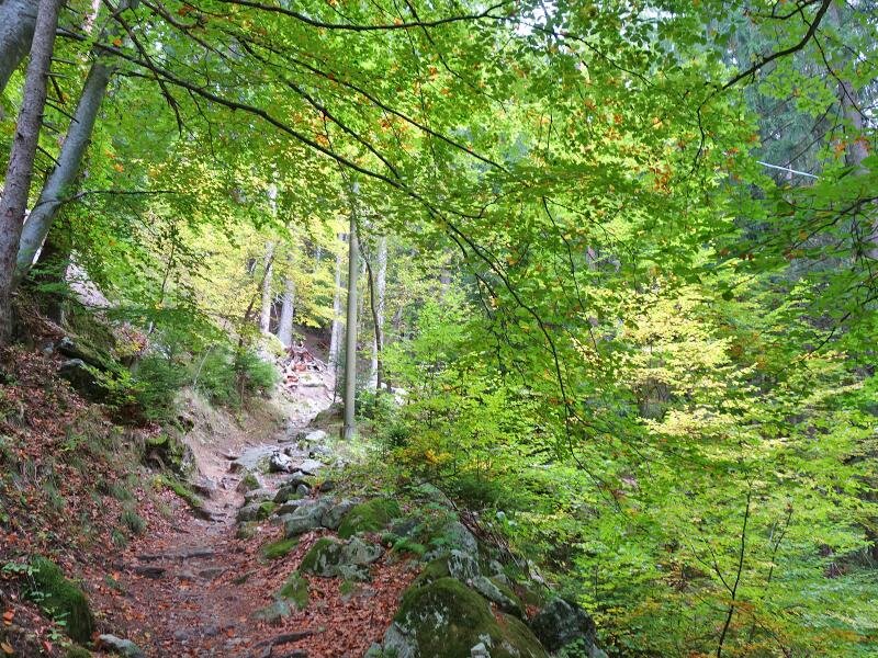
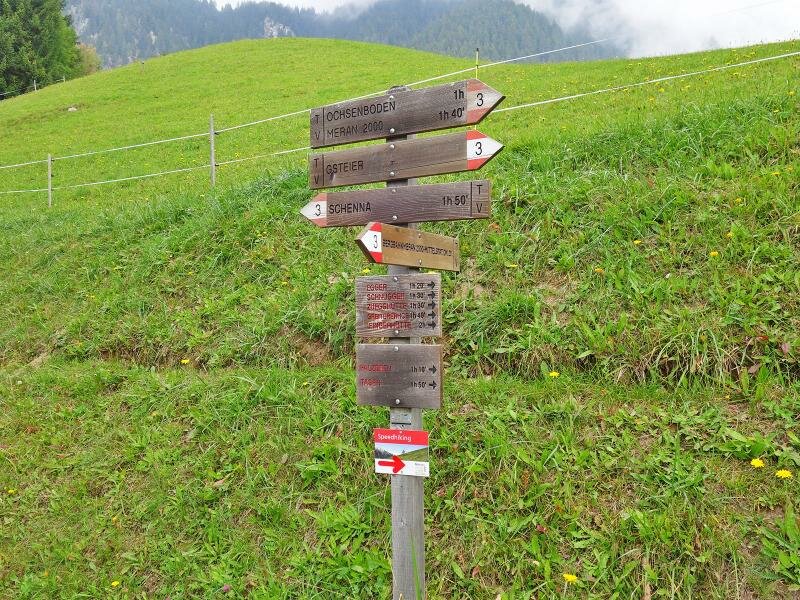
We walk a short distance along the Via Vernaun path, which would also lead to the Scena Waalweg path. However, the trail soon branches off to the right, and we hike steeply uphill. The forest path eventually crosses a paved forest road. From here, we follow signpost no. 3 to the Gsteier inn.
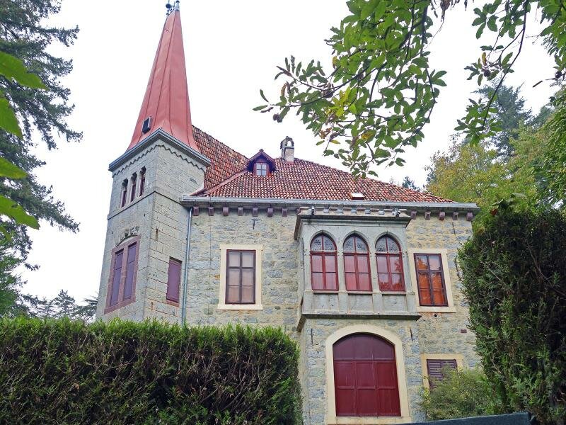
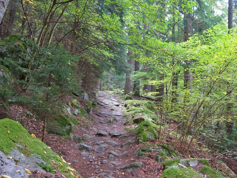
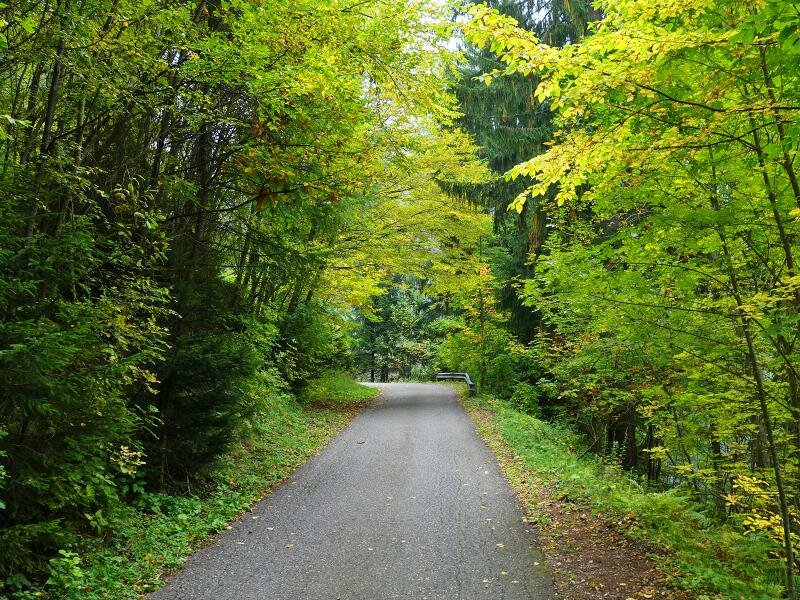
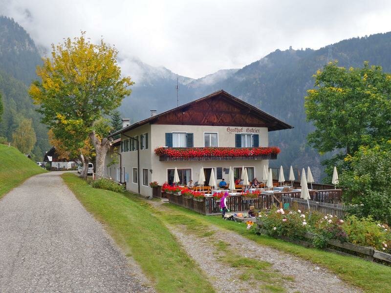
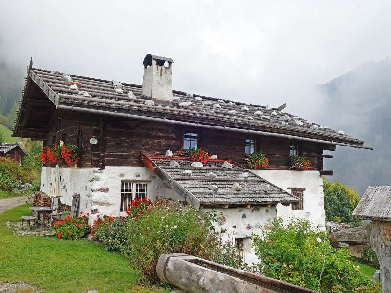
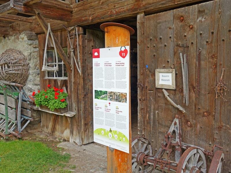
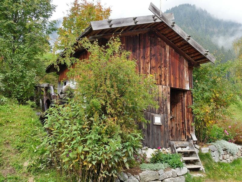
Sections of the old stone paving are visible along the path. Almost at the top, the last kilometre runs along the asphalt road. The Gsteierhof stands on a meadow. Next to it are the historic farm, a mill, and a small but well-equipped farming museum that is open to visitors at any time.
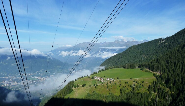
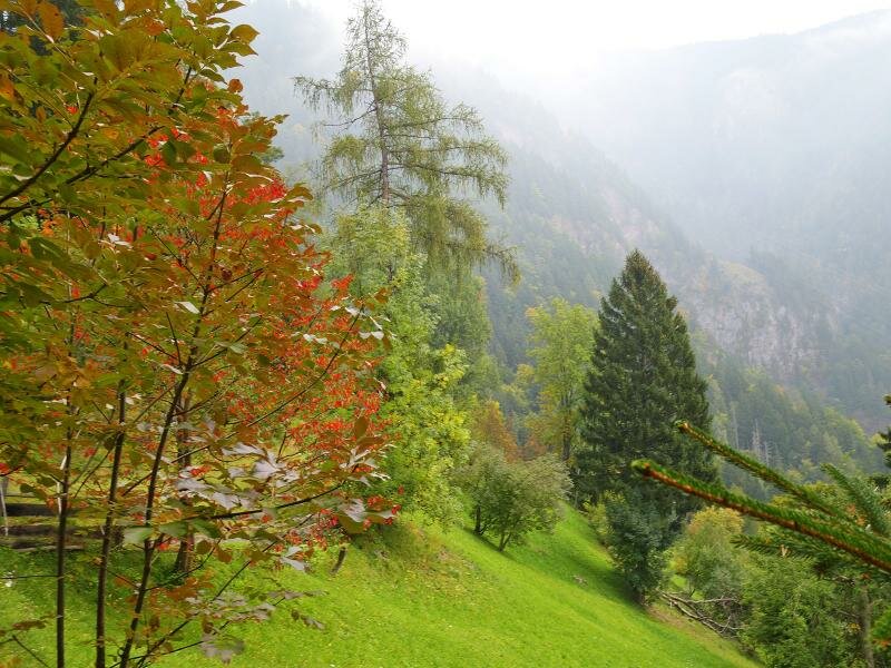
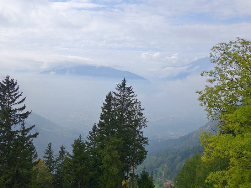
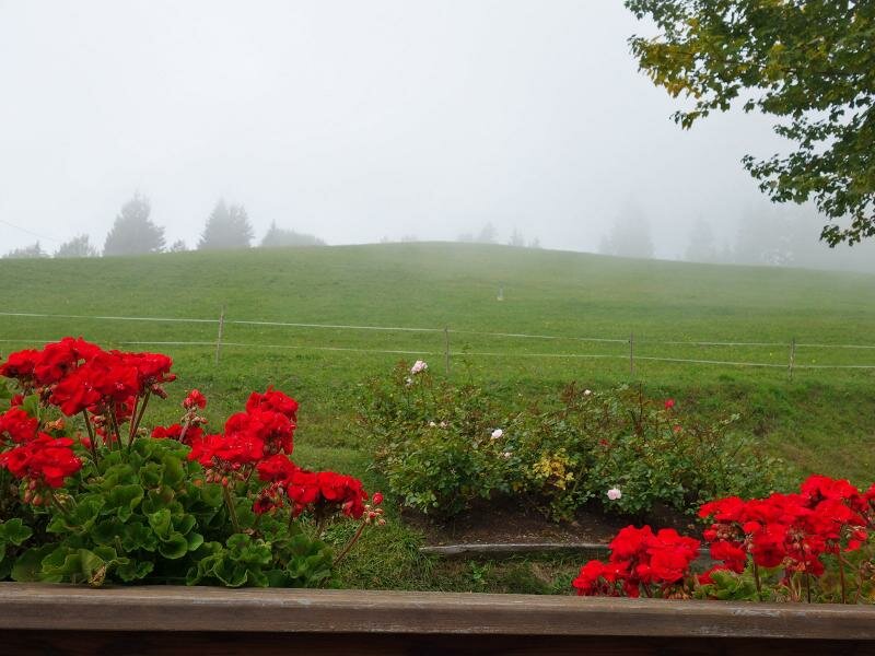
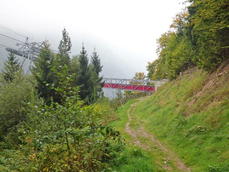
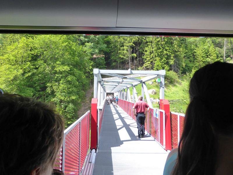
In good weather, hikers can enjoy views of Merano and the surrounding Burgraviato area, but fog obscures our view today. Instead of descending along the same path, we follow the trail to the Merano 2000 intermediate station. From there, we take the cable car back down to the Val di Nova valley, where our excursion ends. The described route is not suitable for pushchairs.
Those who do not mind the altitude gain can follow the parallel asphalt road (no. 3, starting in Scena village) to the Gsteier inn. The hike is particularly suitable for autumn, as the colour of the maple and beech leaves is very impressive. The Gsteier mountain inn remains closed in 2026!
Author: AT
Experienced: September 2017
Last updated: 2026
-
- Starting point:
- valley station of the Merano 2000 Cable Car in the Val di Nova (647 m a.s.l.)
-
- Overall time:
- 02:50 h
-
- Total route length:
- 5,8 km
-
- Altitude:
- from 647 m to 1.380 m
-
- Altitude difference (uphill | downhill):
- +763 m | -197 m
-
- Signposts:
- no. 24, 3, "Mittelstation" (intermediate station)
-
- Destination:
- Gsteier mountain inn at the Merano 2000 intermediate station (1,380 m a.s.l.)
-
- Resting points:
- Gsteier mountain inn (stays closed in 2026!)
-
- Recommended time of year:
- Jan Feb Mar Apr May Jun Jul Aug Sep Oct Nov Dec
-
- Download GPX track:
- Hike from the Val di Nova to the Gsteier mountain inn
-
- More information:
- The overall time shown above refers to the walking time only, not including breaks or stops.
If you want to undertake this hike, we recommend checking the weather and trail conditions in advance and on site before starting this hike!