From the Val di Nova near Merano to a special place of power: the little St. Catherine Church near Avelengo
Image gallery: Hike via Montefranco to the St. Catherine Church

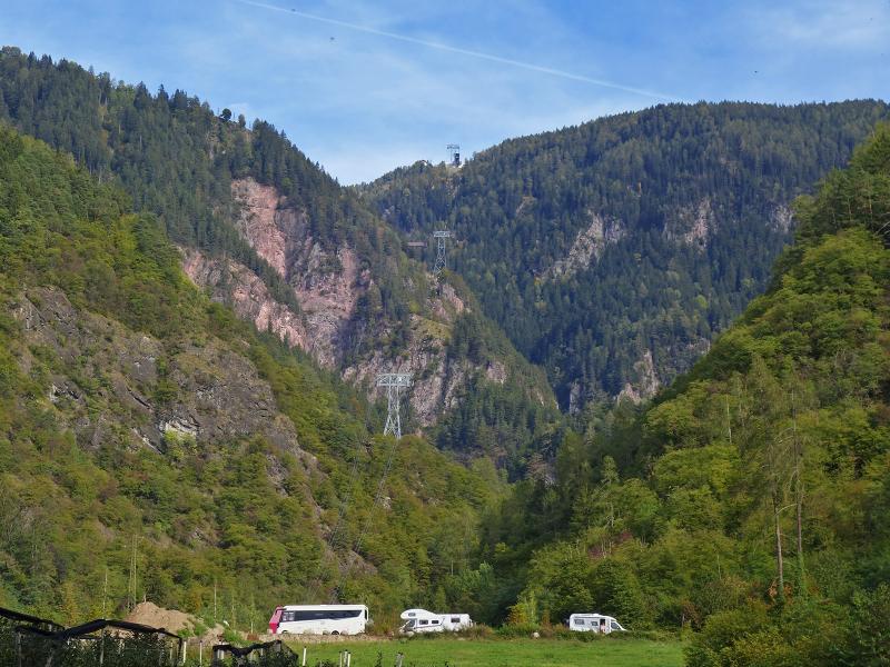
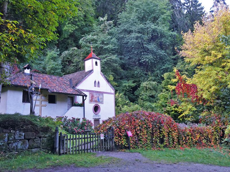
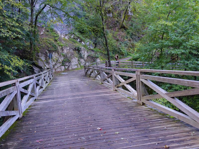
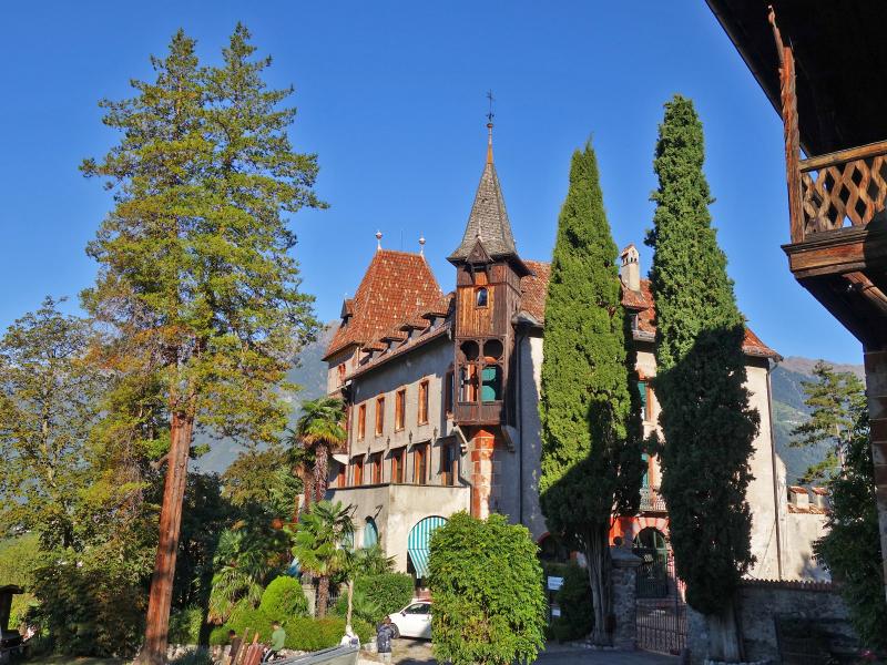
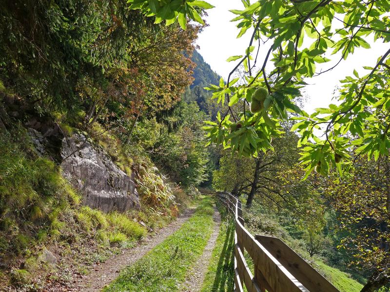
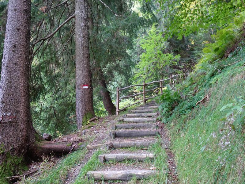

The parking area of the Merano 2000 Cable Car in the Val di Nova near Maia Alta is the starting point of our hike up to Santa Caterina di Avelengo. Initially, we follow the "Meraner Waalrunde" signpost towards the south-west. The path goes downhill for a short distance, passing the hermitage in the Val di Nova. We cross the brook and, immediately after the bridge, take the path to the right that follows the bank downstream. This brings us to Labers Castle near Labers.
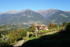
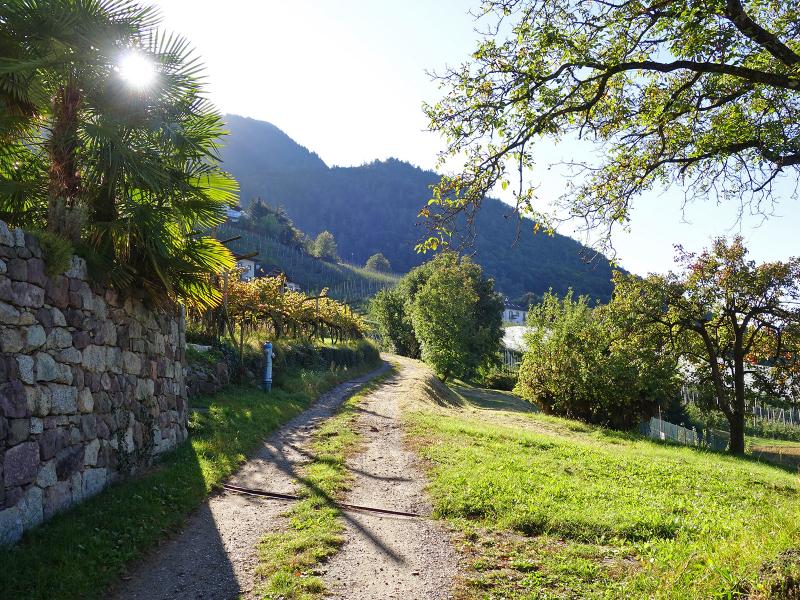
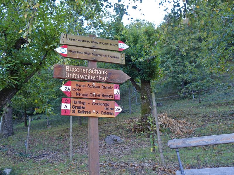
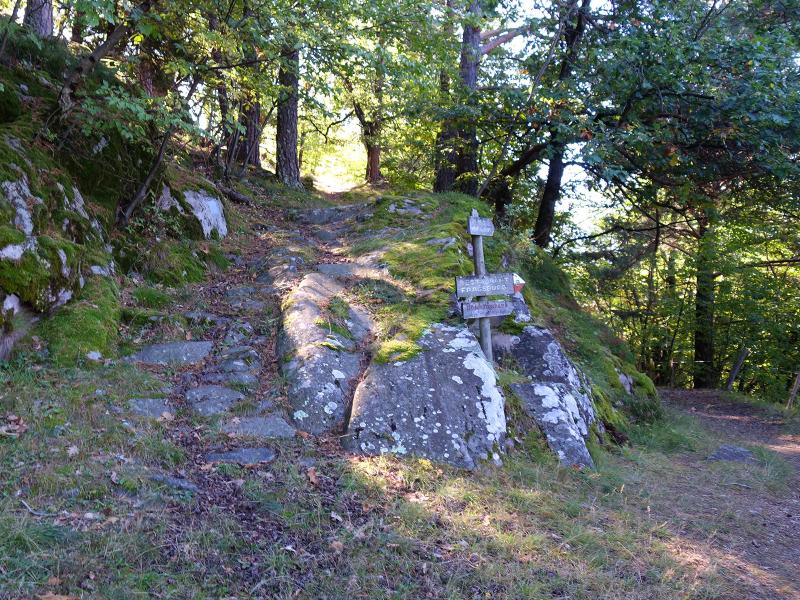
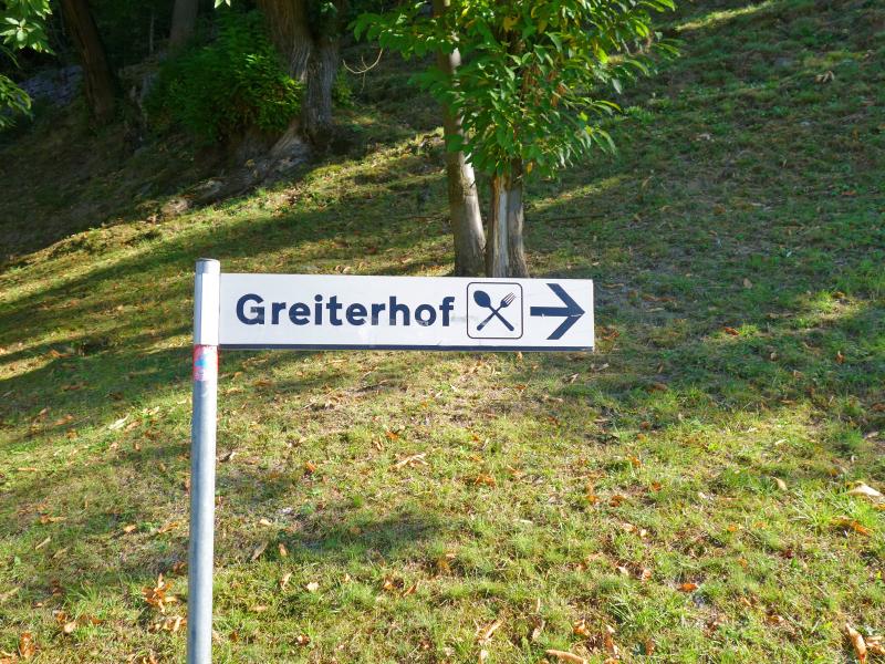
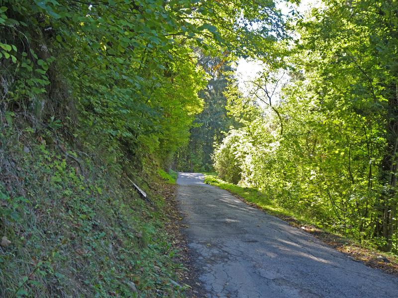
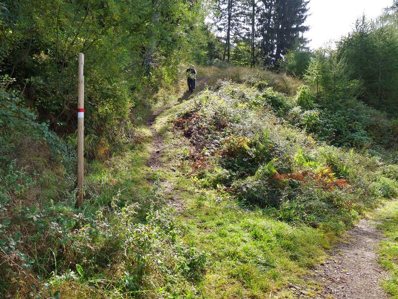
Here we take the path upwards towards Montefranco (Freiberg). This route leads past farms to the Labers road. Montefranco is the name given to the hilly, western foothills of the Monzoccolo ridge near Avelengo. After a section on the road, we follow signpost No. 2A towards Avelengo / Greiter.
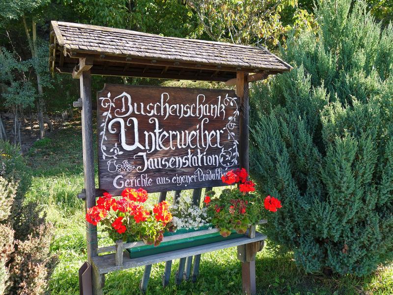
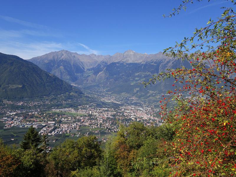
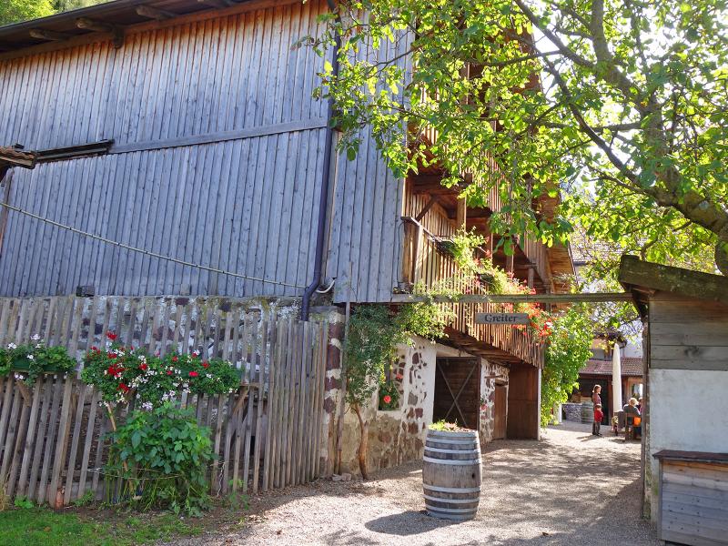
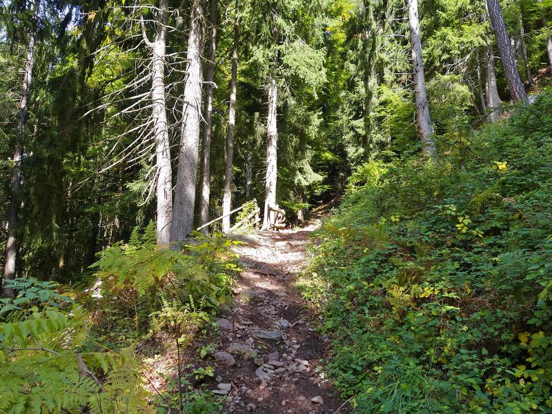
We soon leave the cultivated landscape characterised by fruit growing and viticulture, and a forest path brings us upwards to the Unterweiher farm tavern. Here we meet the mountain road, which winds up to the Greiter mountain inn at an altitude of 950 metres. This is the ideal place for lunch, prepared with the farm's own produce and served with a wonderful view of Merano and its surroundings. On path No. 2A, we then tackle the final stretch up to Santa Caterina di Avelengo.
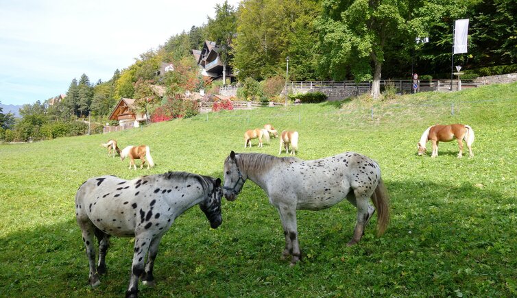
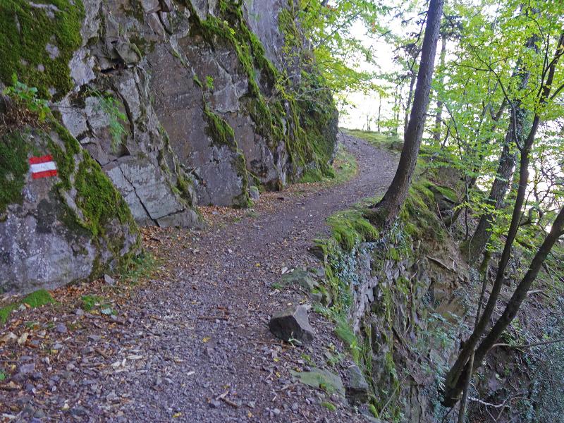
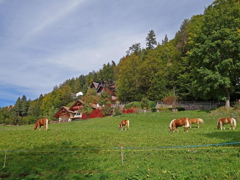
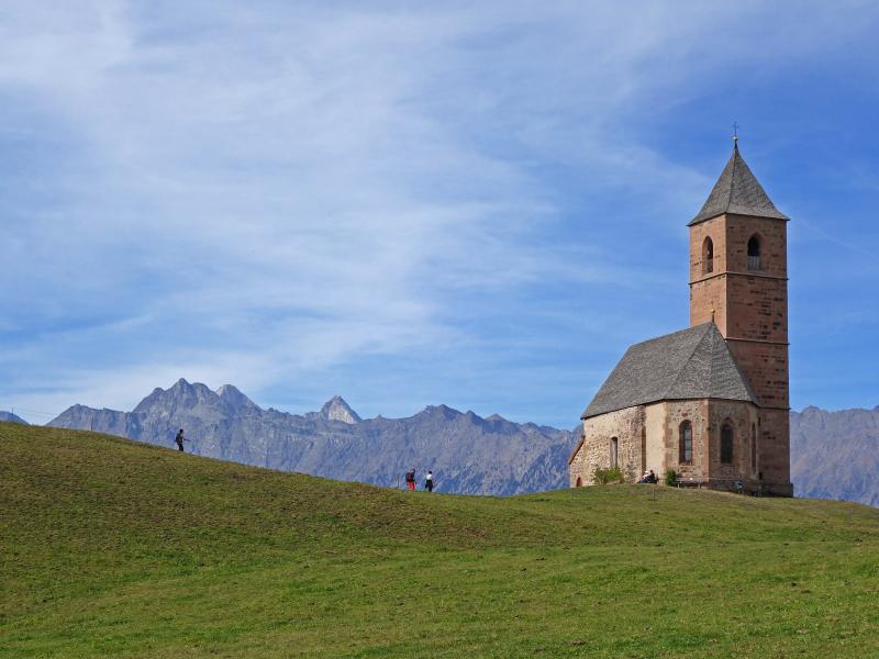
These 300 metres of elevation gain are quite a challenge - it is the steepest section of the hike. The path brings us directly to the St. Catherine Church, which is a popular subject for photos for good reason, with Haflinger horses grazing on the green meadows in the sun. Finally, we walk down the short path to the bus stop on the Avelengo road and take the local bus back to Merano.
Author: AT
Experienced: October 2019
Last updated: 2026
-
- Starting point:
- valley station of the Merano 2000 Cable Car in the Val di Nova (647 m a.s.l.)
-
- Overall time:
- 03:30 h
-
- Total route length:
- 9,3 km
-
- Altitude:
- from 647 m to 1.238 m
-
- Altitude difference (uphill | downhill):
- +706 m | -128 m
-
- Route:
- Val di Nova at Maia Alta - Labers Castle - Unterweiher farm tavern - Santa Caterina
-
- Signposts:
- "Meraner Waalrunde", no. 2A
-
- Destination:
- Santa Caterina di Avelengo (1,238 m a.s.l.)
-
- Resting points:
- Unterweiher farm tavern (February to June and September to November), Greiter mountain inn (April to November)
-
- Recommended time of year:
- Jan Feb Mar Apr May Jun Jul Aug Sep Oct Nov Dec
-
- Download GPX track:
- Hike via Montefranco to the St. Catherine Church
-
- More information:
- The overall time shown above refers to the walking time only, not including breaks or stops. The dates apply to the walk from Merano to Santa Caterina - the return journey is by bus (line 225, 20 minutes).
If you want to undertake this hike, we recommend checking the weather and trail conditions in advance and on site before starting this hike!