Easy circular hike through blooming meadows and shady woods from Avelengo up to the Moschwald Hut and the Malga di Maia
Image gallery: Hike from Avelengo to the Malga Moschwald hut
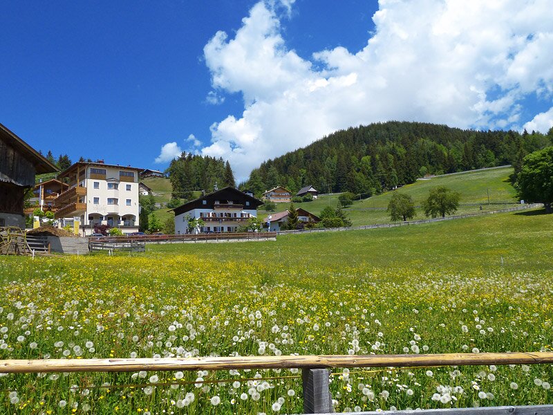
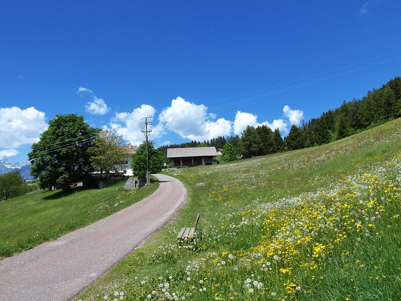
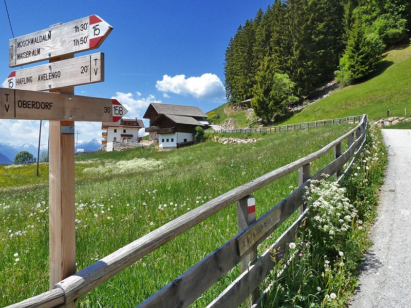
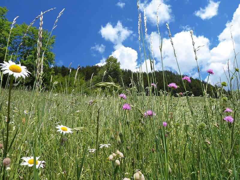
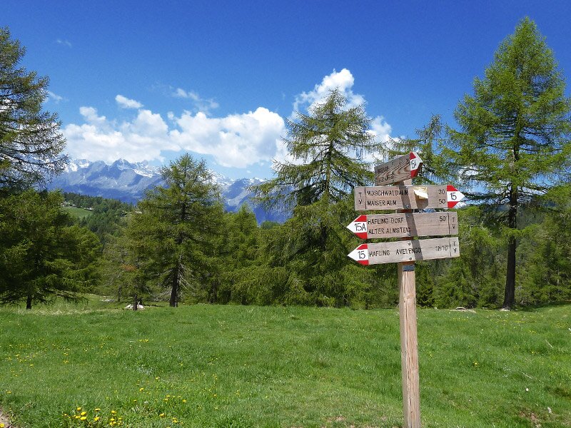
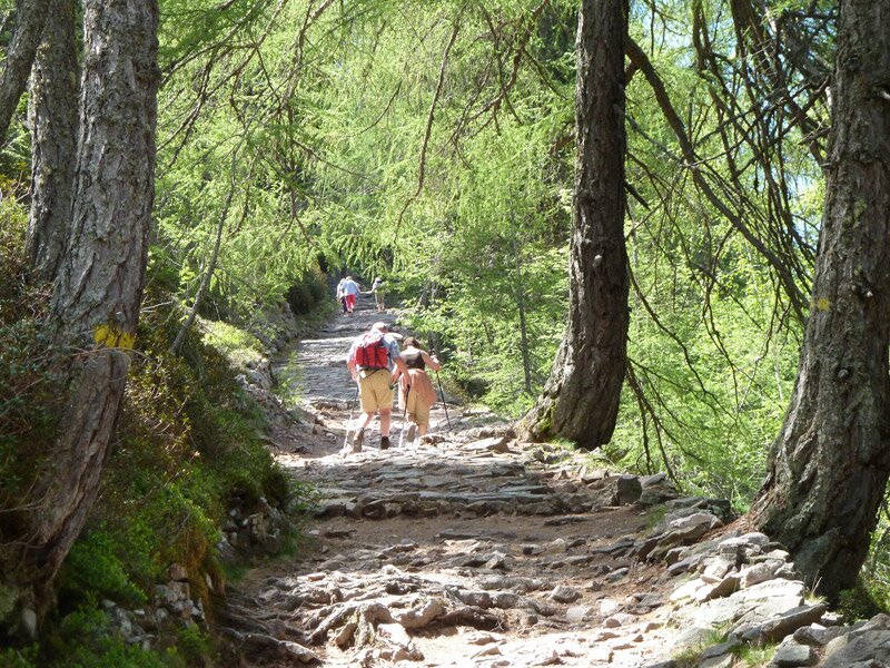
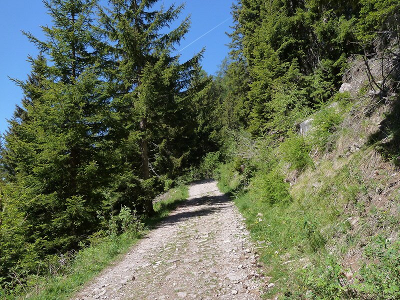
We are in the final days of May in Avelengo: Starting from Avelengo di Sopra, we follow trail no. 15. This path leads gently upwards through meadows and then into the coniferous forest towards the tree line. You can also take a shortcut through the woods here on trail no. 15A.
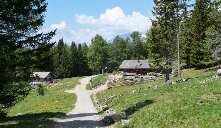
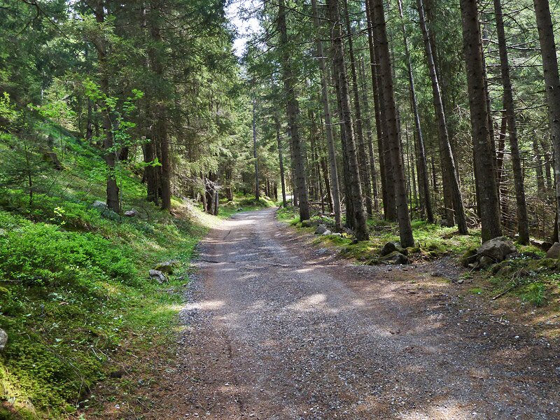
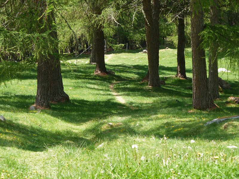
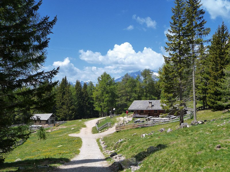
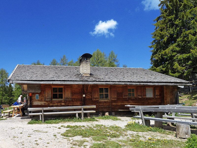
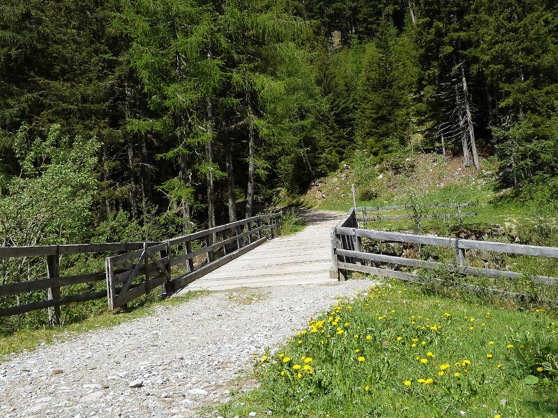
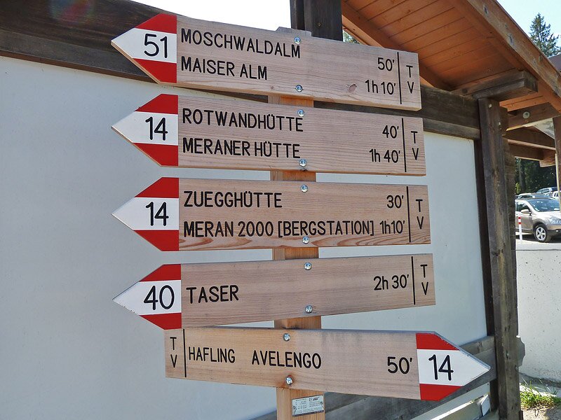
We prefer to stay on the broad gravel forest road, which soon replaces the asphalt. Where the woods open up, the Moschwald Mountain Hut stands at 1,750 metres above sea level. It sits among larch meadows, directly on the forest path that continues to the Maia Hut, or Maiser Alm.
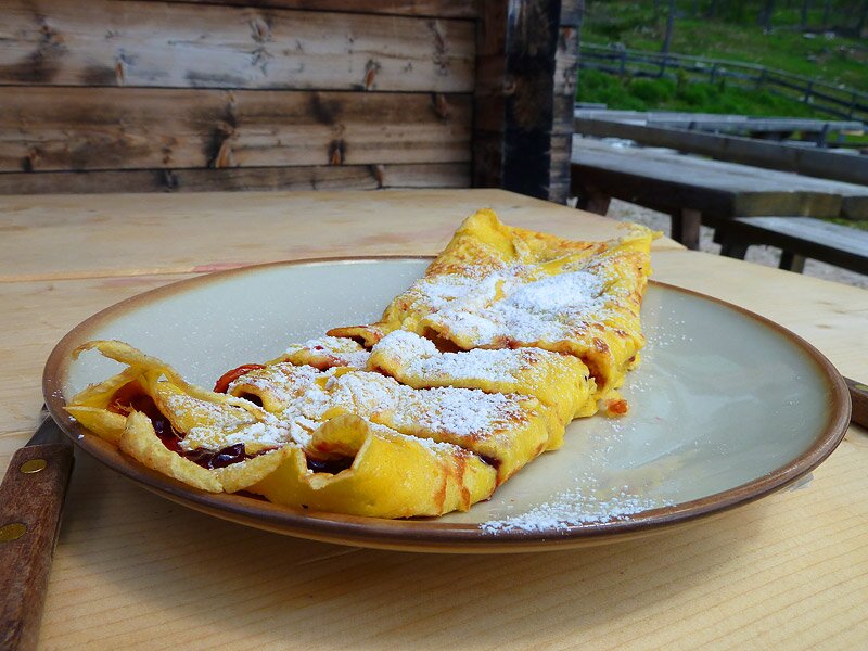
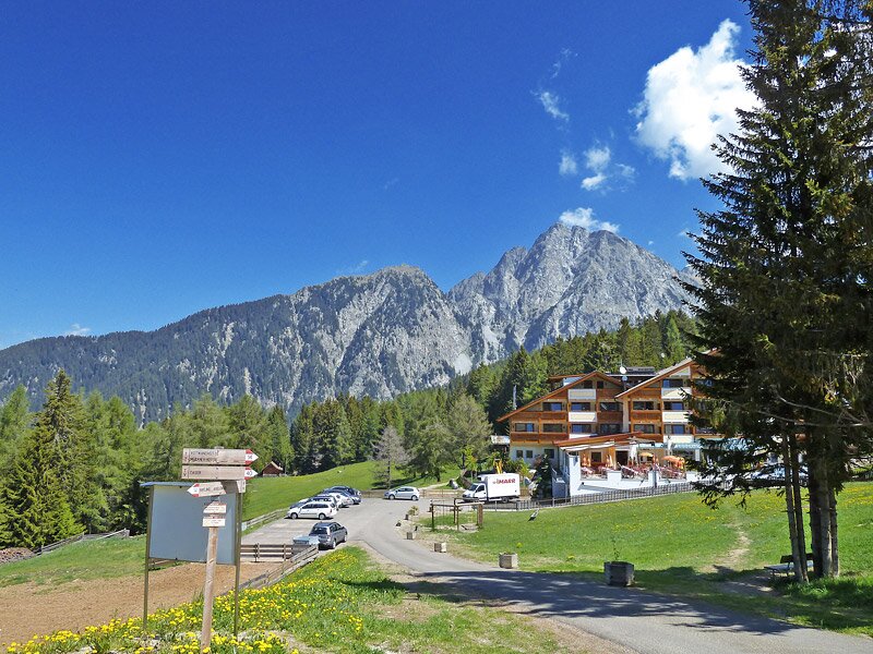
We have now been walking in this part of the Sarentino Alps for almost 90 minutes. If you are feeling hungry, this is the perfect spot. The hut serves South Tyrolean dishes and homemade cakes. After a rest, we decide to walk a bit further up to the Malga di Maia hut to enjoy another break on the sunny meadows. We are now right in the middle of the Merano 2000 recreation area.
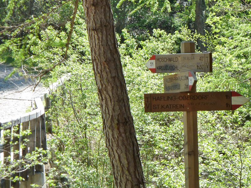
This mountain hut at 1,788 metres also prepares fresh seasonal dishes. Instead of returning on the same path, we turn right after the Moschwald Hut onto trail no. 51, which leads to Falzeben. The final part of the descent follows marker no. 14 down to Avelengo di Sopra, our starting point.
Author: AT
Experienced: May 2011
Last updated: 2026
-
- Starting point:
- Avelengo di Sopra (1,380 m a.s.l.)
-
- Overall time:
- 03:55 h
-
- Total route length:
- 12,5 km
-
- Altitude:
- from 1.380 m to 1.803 m
-
- Altitude difference (uphill | downhill):
- +554 m | -554 m
-
- Signposts:
- no. 14A, 15B, 15, 51, 14
-
- Destination:
- Moschwald Mountain Hut (1,750 m a.s.l.)
-
- Resting points:
- Panorama coffee bar and restaurant, Falzeben restaurant, Moschwald Hut, Maia Hut (the last three from May to November)
-
- Recommended time of year:
- Jan Feb Mar Apr May Jun Jul Aug Sep Oct Nov Dec
-
- Download GPX track:
- Hike from Avelengo to the Malga Moschwald hut
-
- More information:
- The overall time shown above refers to the walking time only, not including breaks or stops. The highest point of the hike is located on the meadows above the Malga di Maia at 1,800 metres a.s.l.
If you want to undertake this hike, we recommend checking the weather and trail conditions in advance and on site before starting this hike!