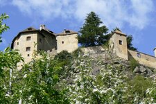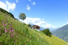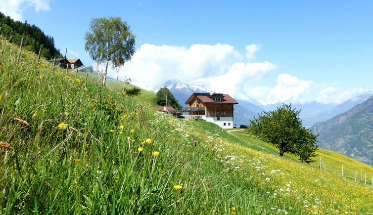
On the slopes of Monte Tramontana lie the farms of Montefontana, a stop on the way to the popular Marzon Mountain Hut
Image gallery: Montefontana

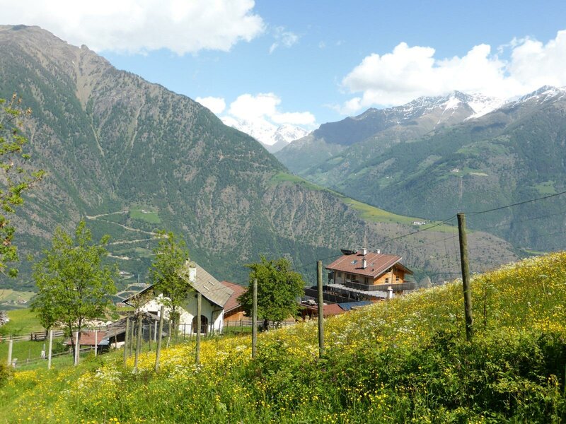
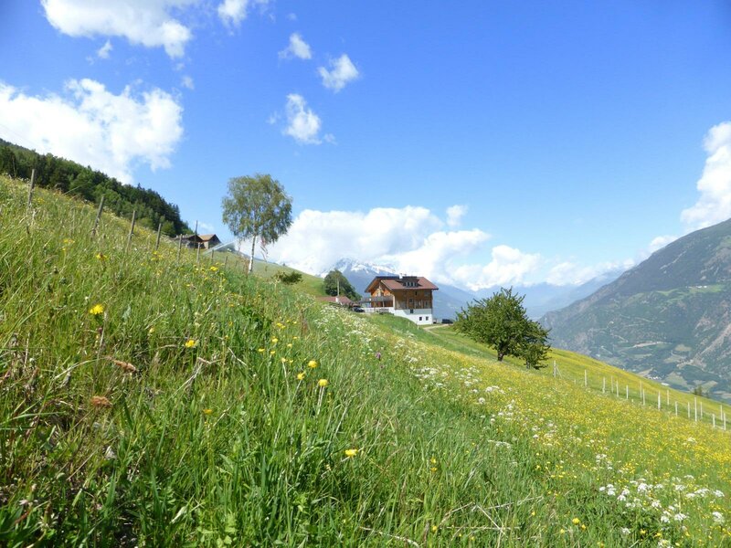

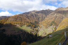
The Montefontana farms extend up to an altitude of 1,300 metres on the slopes of the Monte Tramontana. To be precise, these are the Platz, Kühstein, Platschon, Kleinlind, Radeben, Nieder- and Obergarden, Nieder- and Obermoar, Lechenhof, Eben, and Kalthaus Farms - a manageable number of farmsteads that constitute this hamlet in the municipality of Castelbello-Ciardes.
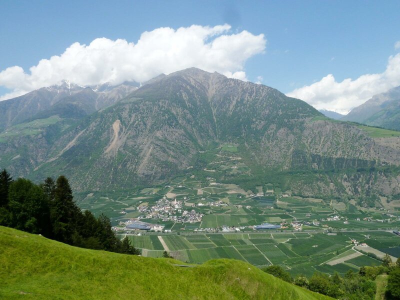
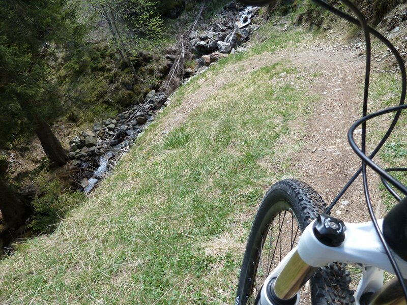
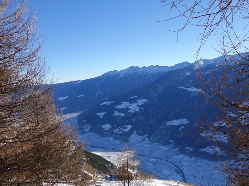
Montefontana (Tomberg) is far better known among hikers and mountain bikers, who enjoy the view from the Monte Tramontana towards the Monte Sole and vice versa. Thanks to its unique location, the view stretches as far as the lower Val Senales, Juval Castle, and the surrounding mountains, then leftwards up to the Upper Val Venosta and rightwards into the Merano area.
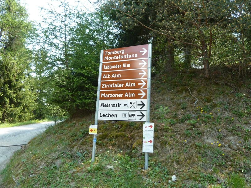
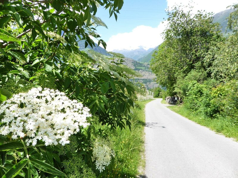
The farms can be reached via the Montefontana Path, which turns off the main road at Ciardes and heads uphill after crossing the Adige River. The Montefontana Circular Walk, on the other hand, starts in Tablà and leads to Montefontana and to the Niedermairhof, a farm tavern.
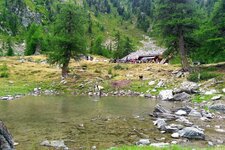
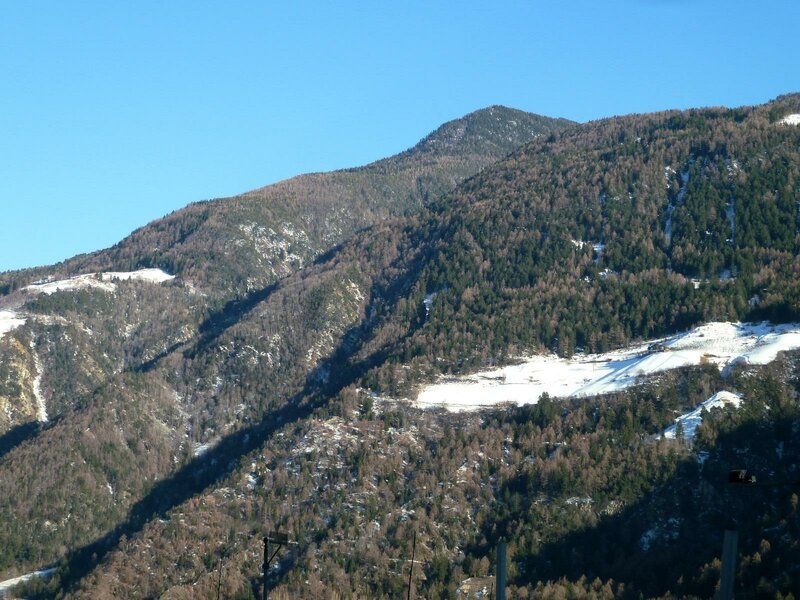
Afterwards, you can continue along the Alpine Pasture Trail - called Almenweg, in German - and discover the surrounding alpine pastures on the mountain chain between the Val Venosta and the Val d'Ultimo: The Marzon Hut, The Cirmoli Mountain Hut, as well as the Montefontana and the Tablà Alpine Pastures invite you to take a break. Alpine pastures, mountain lakes, and easy-to-reach peaks, also accessible on skis in winter, characterise this part of the Val Venosta.