San Benedetto is known as the “long village”: The village circular trail shows you the small centre and its surroundings
Image gallery: San Benedetto


To the north, Rodengo Castle towers near Villa, while to the south lies Rio di Pusteria with its reservoir at the entrance to Val Pusteria: We are here in San Benedetto, the hamlet that belongs to Rodengo. From here, the road leads to Montano and Frella, and finally up to the Rodengo Alp.
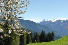
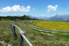
The expansive landscape begins just below the alp on the high plateau and then merges into the Luson Mountains. In between lies the Rodengo Alp, a popular excursion area with managed huts, pleasant paths and a landscape straight out of a storybook. The high alpine pasture blends seamlessly into the Luson Alp. San Benedetto prides itself on its sunny location and is also called "the long village", as the settlement stretches far up the slope along the road.
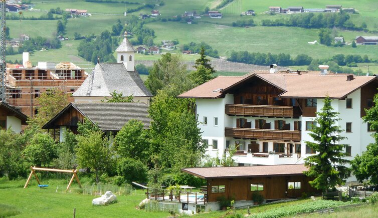
Farms, some of which are listed buildings, characterise the village's appearance. Particularly noteworthy is the Herzleierhof farm, where the last Lord of Rodank lived around 1300 AD. He came from the line of the Lords of Rodank, who built Rodengo Castle, and whose coat of arms still adorns the municipal crest today. Several accommodation providers here invite you to relax.
San Benedetto (Nauders) has been known since the 11th century. The Church to St. Benedict is something of a rarity, as there are not many churches dedicated to him: The second one in South Tyrol can be found in Malles Venosta. The one-hour village circular trail shows you all these buildings: From the car park in Villa, it follows the Vicolo Verde path to the Spritzenhütte and on to San Benedetto. Afterwards, the Kirchsteig path leads you back to Villa. Down in the valley, the episcopal town of Bressanone is quickly accessible for shopping, skiing or cultural experiences.