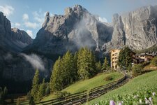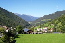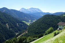
The Luson Mountains in the Valle Isarco valley extend until the Passo delle Erbe which connects the Valle Isarco and the Val Badia
Image gallery: Luson Mountains

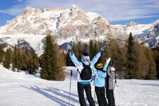
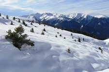
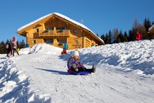
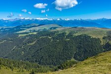
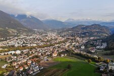
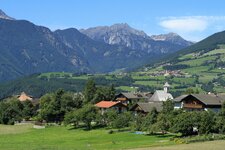
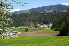
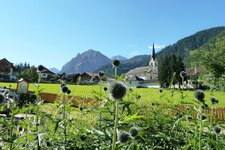
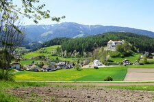
In the northwestern Dolomites the Luson Mountains are located, composed of quartz phyllite. They are located between the Valle Isarco, Val Pusteria and Val Badia valleys in the municipalities of Luson, Bressanone, San Martino in Badia, Marebbe, San Lorenzo di Sebato, Chienes and Rodengo. The Luson Valley divides the same-named mountains into two zones: The Plose Massif with its highest point, the 2,576 m high Monte Gabler, is a popular hiking and skiing area. Excursion destinations such as the WoodyWalk and the new Plosebob are located here, furthermore in winter there are South Tyrol's longest valley run and the 10.5 km long RudiRun, a slegde run.
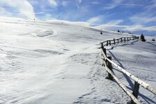
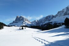
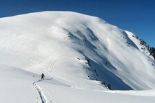
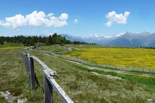
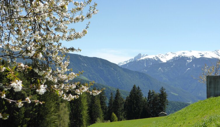
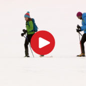
The second part consists of alpine pastures, most known is the high plateau of the Rodengo Alp, which merges into the not less wonderful Luson Alp. Considerable elevations here are Mt. Muro di Luson (2,332 m a.s.l.) and the Giogo d'Asta (2,196 m a.s.l.) which offers a fantastic panoramic view. The area is also nice for winter hikes, for example to the Eores Alpine Pastures at the slope of Mt. Plose, to the Roner Hut with its toboggan run or to the Rastner Mountain Hut at almost 2,000 m a.s.l. The above mentioned Mt. Muro di Luson can be reached in a ski tour of several hours.