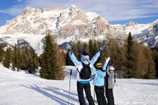
The pleasant tour on the southern slopes of the Plose takes you to the huts between Eores and the Passo delle Erbe
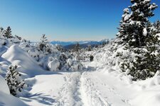
Image gallery: Winter hike to the Eores Mountain Pastures
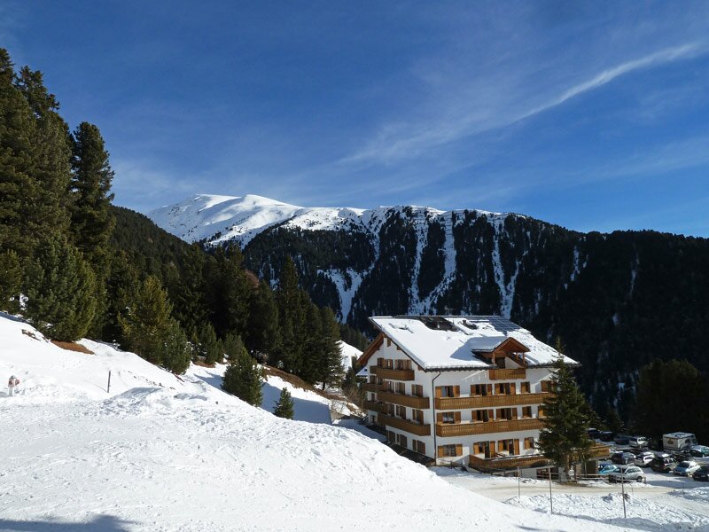
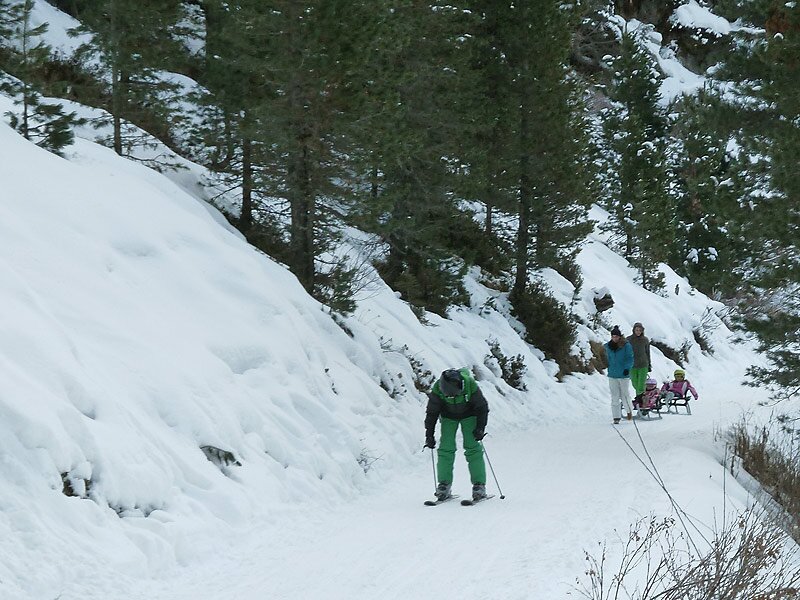
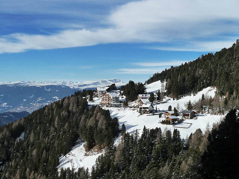
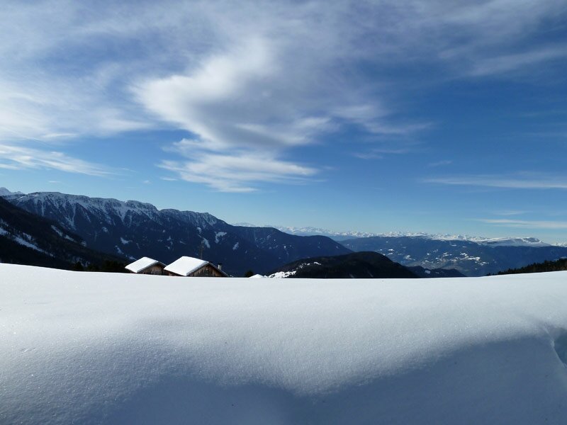
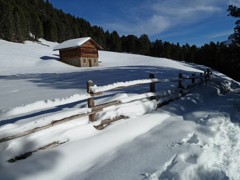

From Bressanone to Sant'Andrea (St. Andrä) and further on to Eores (Afers), this is how we come to reach the Ski Hut parking, the starting point of our snow walk. It is located at about 1,900 m a.s.l., at the lower terminus of Mt. Plose. The Plose Skiing Area on the local mountain of Bressanone, the 2,562 m high Plose, stays open from December to April.
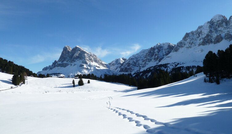
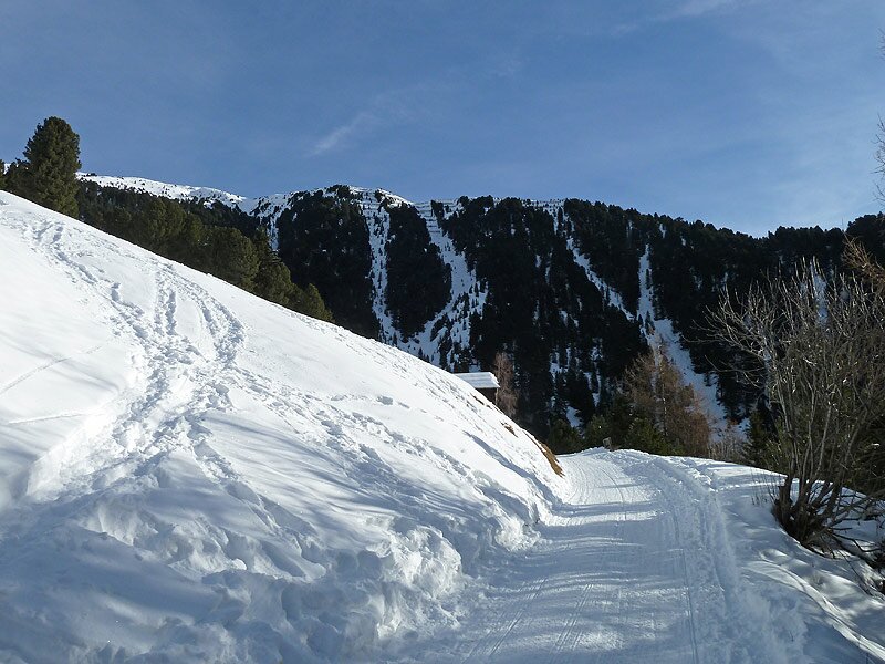
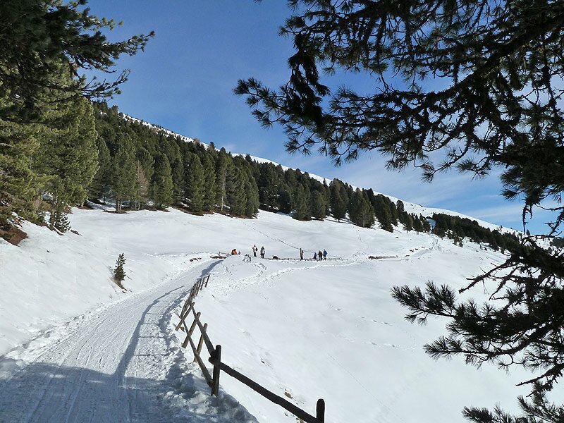
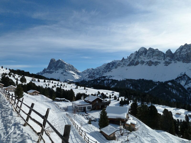
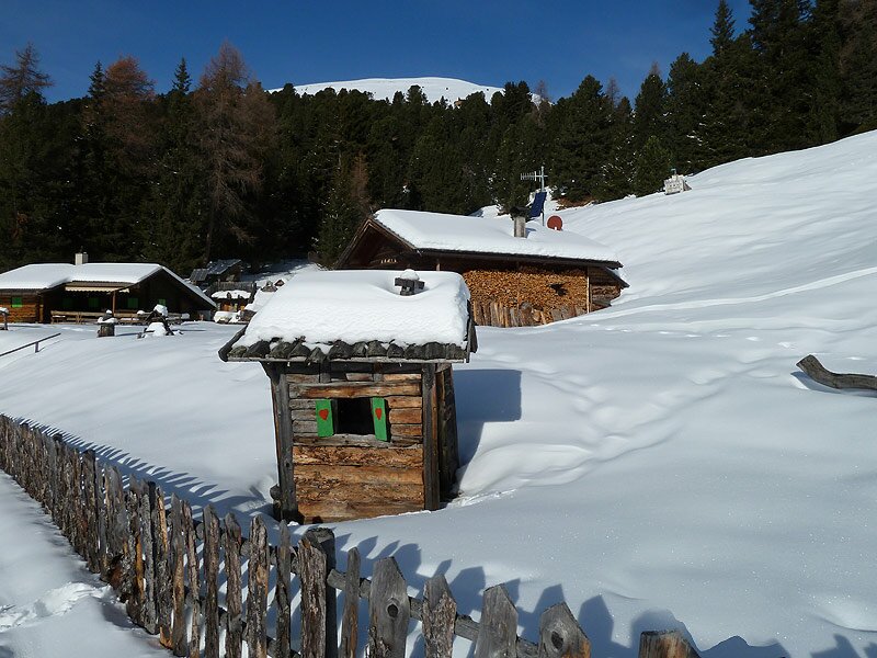
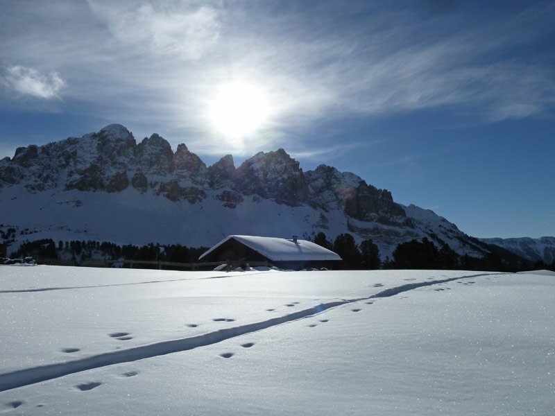
We follow the trail no. 8 in eastern direction, first slightly upwards across the forest. Soon we reach the sun-drenched southern slopes of the Eores Mountain Pastures. A beautiful area at about 2,000 m a.s.l., characterized by pine forests, wide areas and a fantastic view of the Putia Group and the Odle di Eores Group. Past the Schatzer Hut, which is only open in summer, and the Gentian Mountain Hut (Enzianhütte, no longer open to the public), after about 4.5 km the path becomes a little more narrow and is less beaten.
Up to this point we did not need to wear snow-shoes. As we are already satisfied with the way we did so far, we decide to walk back on the same route.
Author: AT
-
- Starting point:
- parking space of the Ski Hut, Eores (can also be reached by bus from Bressanone)
-
- Overall time:
- 02:30 h
-
- Total route length:
- 8,8 km
-
- Altitude:
- from 1.898 m to 2.017 m
-
- Altitude difference (uphill | downhill):
- +262 m | -262 m
-
- Route:
- Erwin-Stricker-Weg, Gampenwiesenweg
-
- Signposts:
- no. 8, 4, 9
-
- Destination:
- Mantinger Alm
-
- Recommended time of year:
- Jan Feb Mar Apr May Jun Jul Aug Sep Oct Nov Dec
-
- Download GPX track:
- Winter hike to the Eores Mountain Pastures
If you want to undertake this hike, we recommend checking the weather and trail conditions in advance and on site before starting this hike!