This winter walk takes from Smudres, a little village above Vipiteno, to the Prantner Mountain Hut at 1,800 m a.s.l
Image gallery: Winter hike to the Prantner Mountain Hut

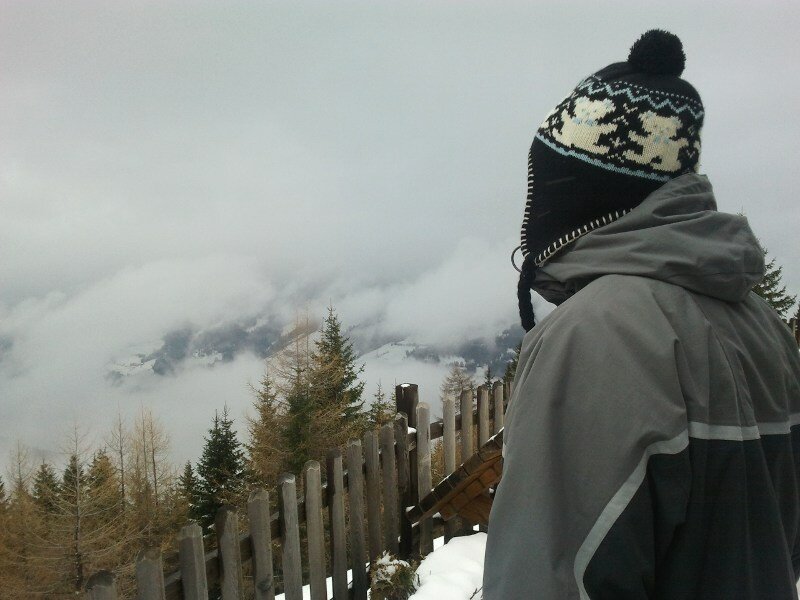
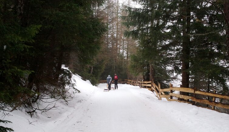
Even if the weather is not too perfect, we decide to do a winter walk to the Prantner Mountain Hut above Novale di Vipiteno in the Upper Valle Isarco. By car we go to Smudres (Schmuders), a hamlet near Flaines belonging to the municipality of Val di Vizze.
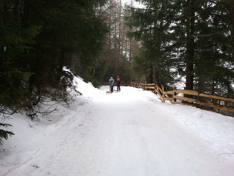
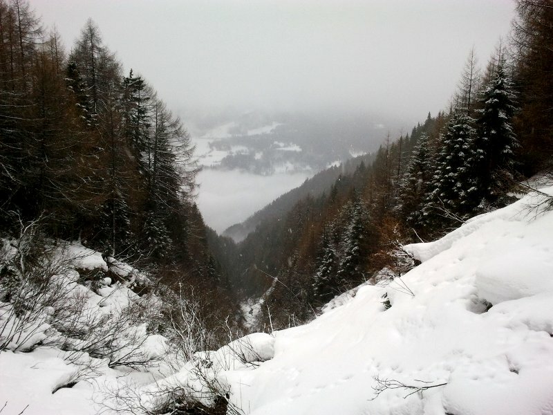
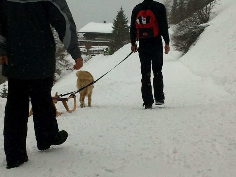
From the Braunhof farm, at the end of the asphalted road, we start our walk, together with our dog Harry, who can't wait starting the walk. Most of the time, the route leads across the dense forest. We also brought our sledges, as this trail is also a toboggan run.
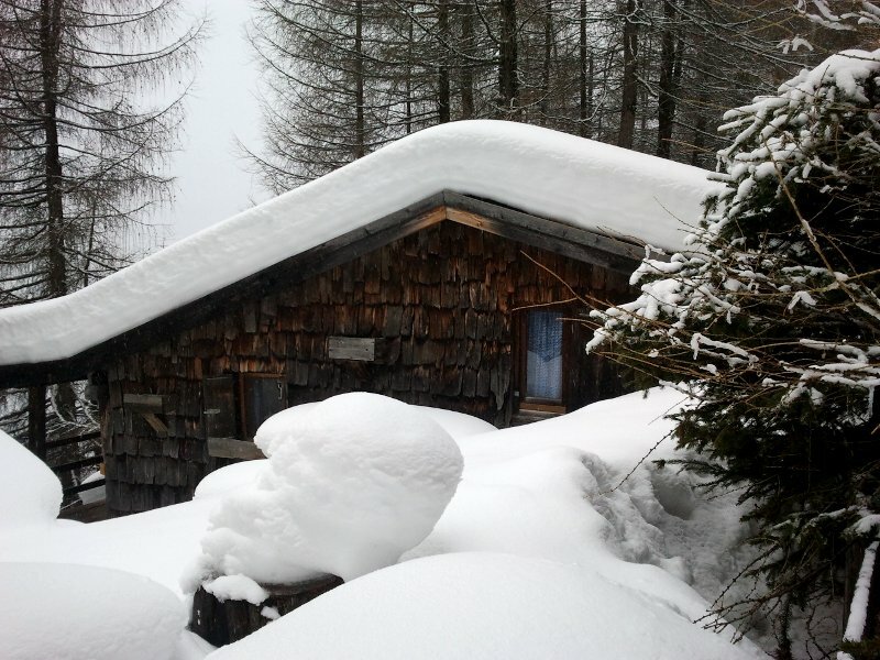
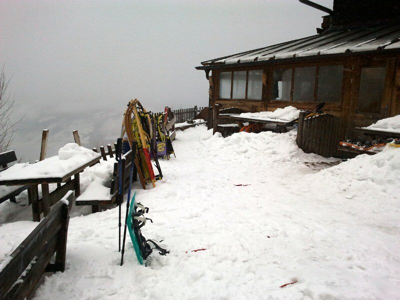
After about one hour of walking, we reach the mountain hut at 1,800 m a.s.l. After a delicious lunch and a chat with the guests and the lord, we start our speedy ride down to our starting point. Notice: The data indicated refer to the entire route, including return trip, on foot.
Author: ED
-
- Starting point:
- parking space of the Braunhof farm above Smudres
-
- Overall time:
- 01:40 h
-
- Total route length:
- 5,1 km
-
- Altitude:
- from 1.542 m to 1.800 m
-
- Altitude difference (uphill | downhill):
- +258 m | -258 m
-
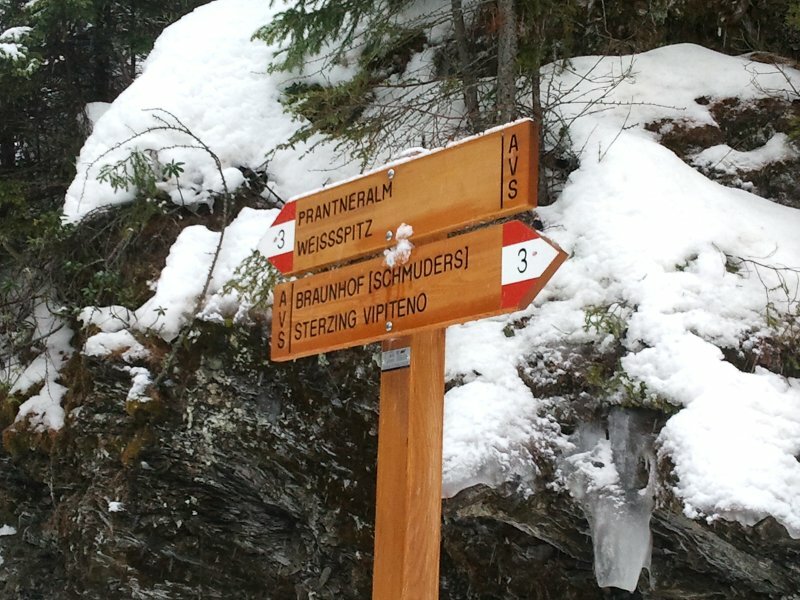
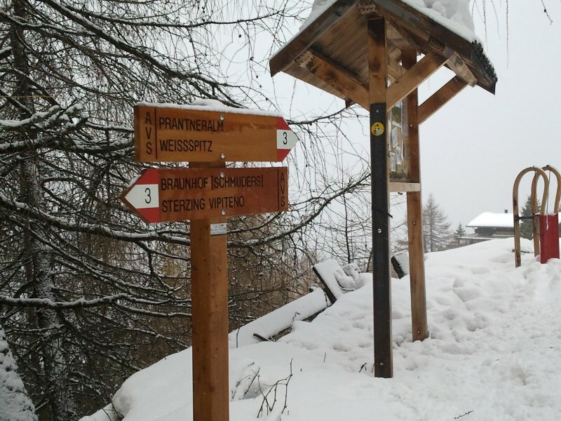
- Signposts:
- no. 3
-
- Destination:
- Prantner Mountain Hut
-
- Recommended time of year:
- Jan Feb Mar Apr May Jun Jul Aug Sep Oct Nov Dec
-
- Download GPX track:
- Winter hike to the Prantner Mountain Hut
If you want to undertake this hike, we recommend checking the weather and trail conditions in advance and on site before starting this hike!