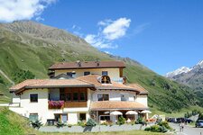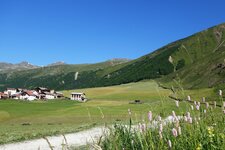
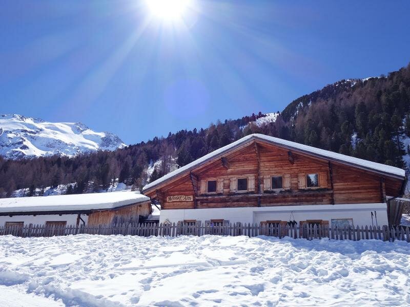
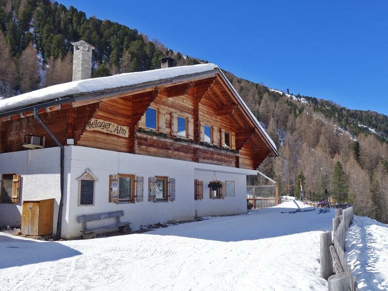
In the upmost Vallelunga valley, at the feet of Mt. Palla Bianca with its glaciers, the Melago Mountain Hut is located at the edge of a cross country ski track and a winter hiking path
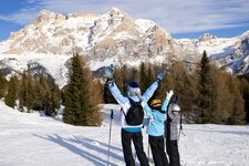
Image gallery: Winter hike to the Melago Mountain Hut
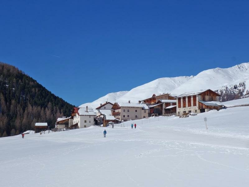
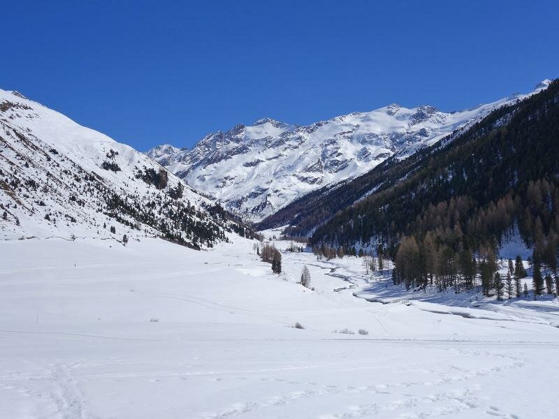
Our winter hike starts in Melago (Melag), the last hamlet in the Vallelunga valley (Langtaufers), at about 1,900 m a.s.l. Here the road ends, at the bus stop a parking space is located.
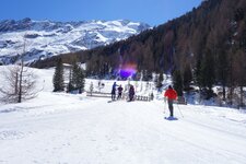
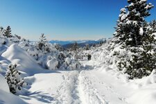
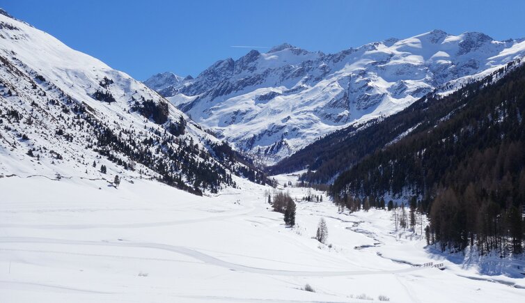
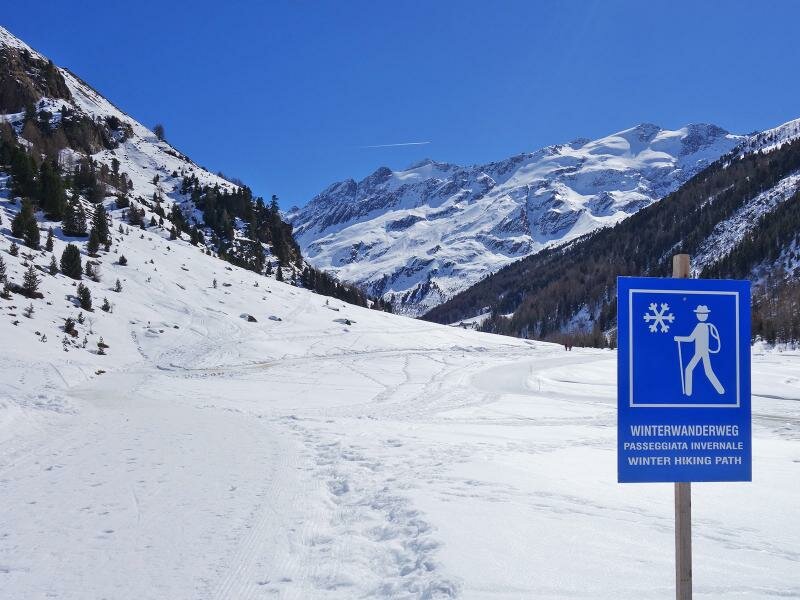
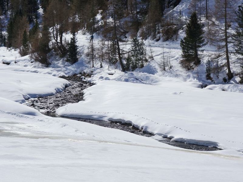
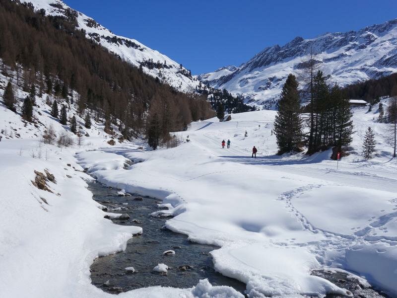
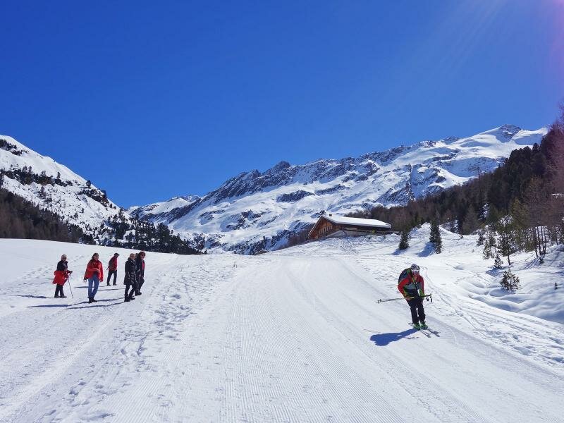
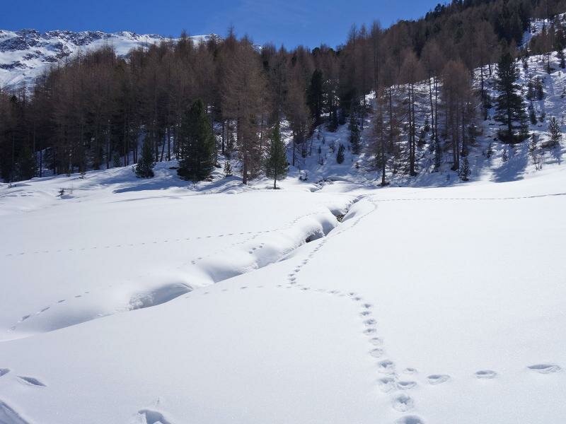
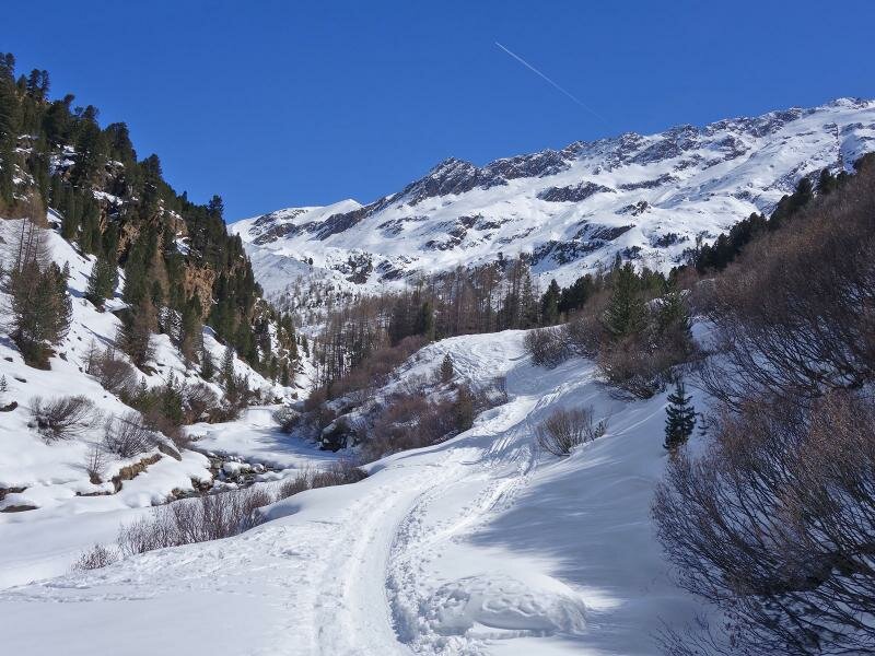
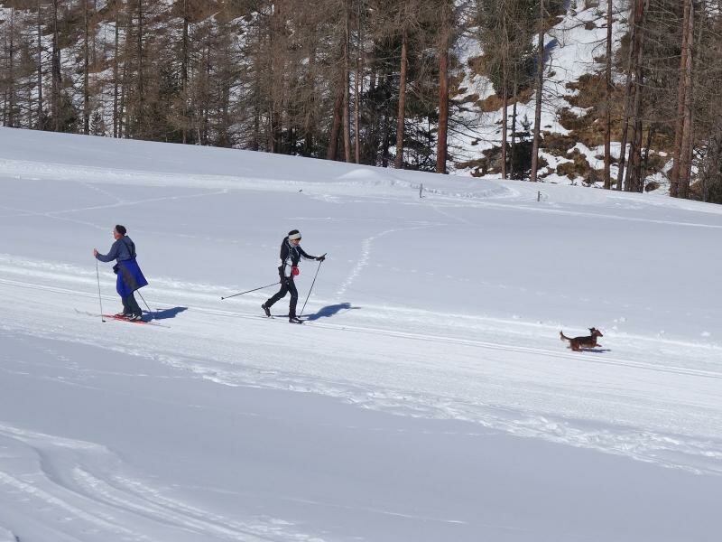
We walk through the small village into the valley, after the farms we continue along the winter path which runs parallel to one of the cross-country ski tracks in the Val Venosta. It is a comfortable wide path through the snowy high valley, we cross the bridge over the Rio Karlin creek to walk further at the edge of the forest (path no. 5). The path is flat, only just before the Melago Mountain Hut (Melager Alm) at 2,020 m a.s.l. we have to manage a short and easy ascent.
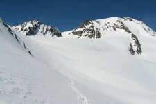
The hut offers delicious traditional cuisine. We decide to carry on walking up the quiet valley for about 1 km before we start our way back, surrounded by the peaks of the Oetztal Alps and the Vallelunga Glacier World - the path to experience the glaciers is open during the summer months.
Author: AT
-
- Starting point:
- Melago, head of the valley
-
- Overall time:
- 01:40 h
-
- Total route length:
- 6,0 km
-
- Altitude:
- from 1.902 m to 2.012 m
-
- Altitude difference (uphill | downhill):
- +126 m | -126 m
-
- Signposts:
- no. 1, 5, "Winterwanderweg" (winter hiking trail)
-
- Destination:
- Malga di Melago (Melager Alm)
-
- Resting points:
- Malga di Melago (Melager Alm)
-
- Recommended time of year:
- Jan Feb Mar Apr May Jun Jul Aug Sep Oct Nov Dec
-
- Download GPX track:
- Winter hike to the Melago Mountain Hut
If you want to undertake this hike, we recommend checking the weather and trail conditions in advance and on site before starting this hike!