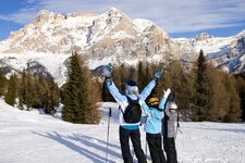
The popular winter round tour at the edge of the Monte Cavallo skiing area is ideal for a pleasant walk in the Upper Valle Isarco
Image gallery: Winter hike on the Flaner Jöchl
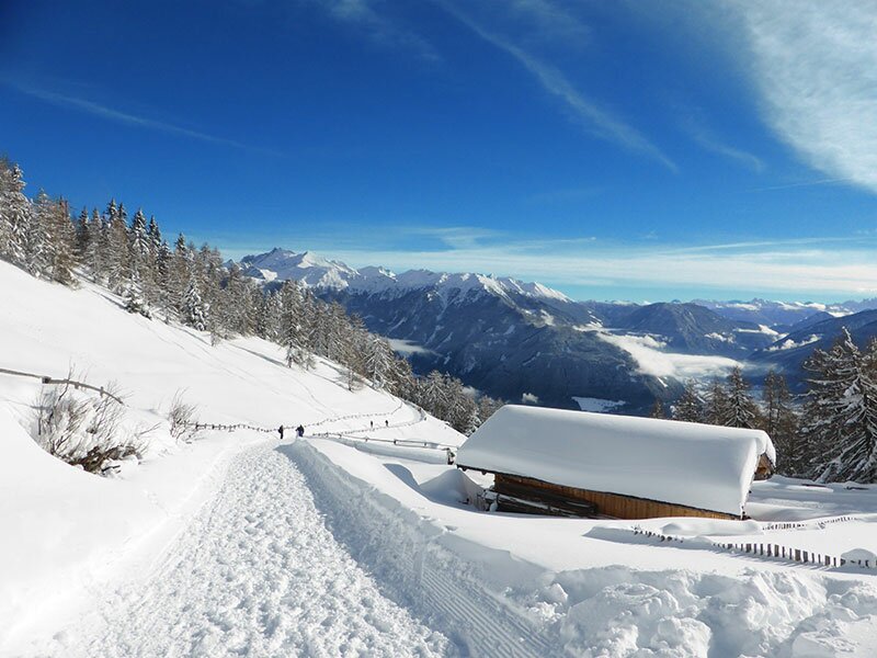
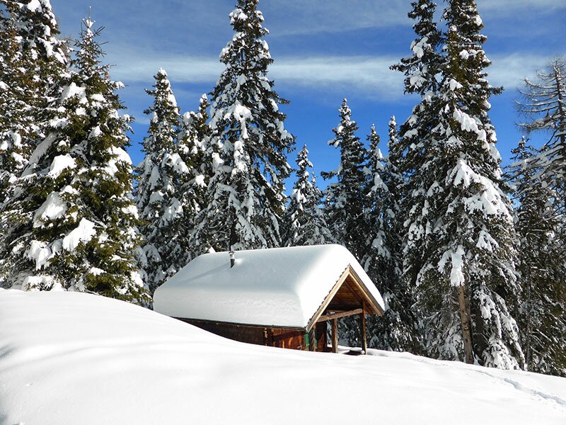
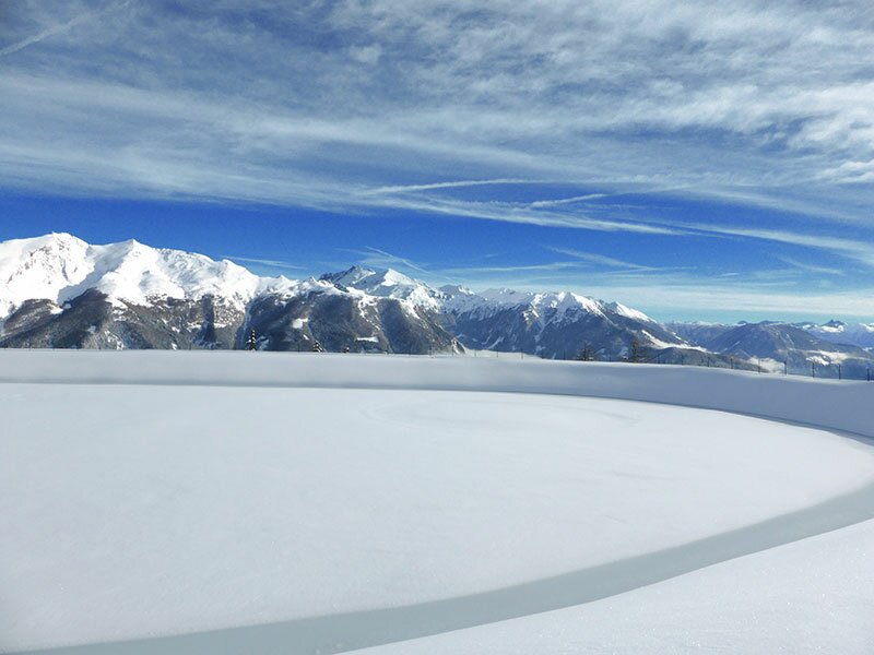
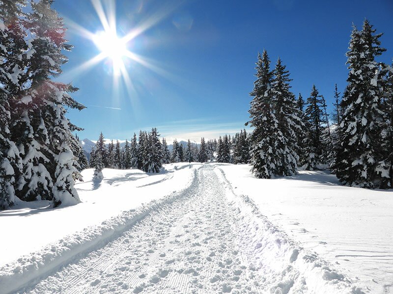
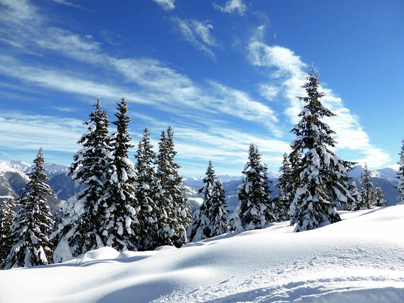
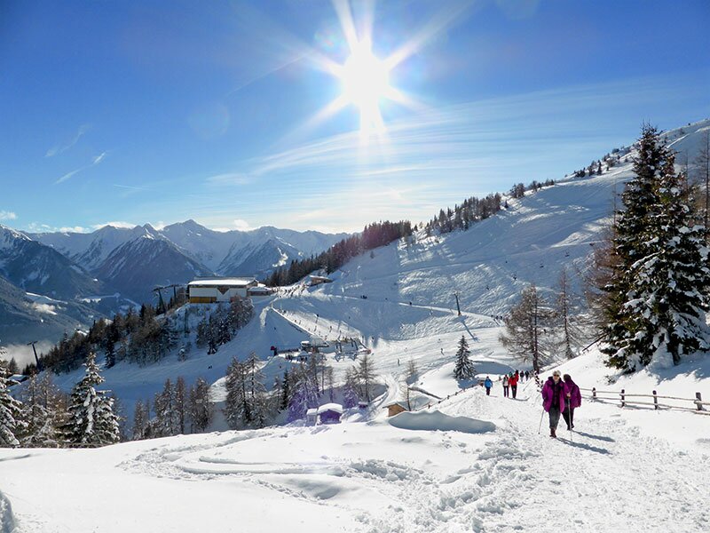

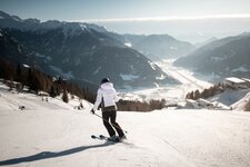
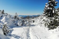
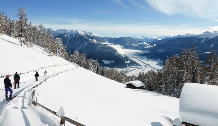
The cable car takes us from the town of Vipiteno to the mountain station of the Monte Cavallo Skiing Area where, at the northern side of the ski slopes, we start our tour to the Flaner Jöchl. First we go downhill across the forest, passing by the Furl Mountain Hut (Furl-Hütte), then we continue to the radio transmission tower. Today the landscape is particularly fascinating.
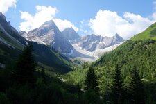
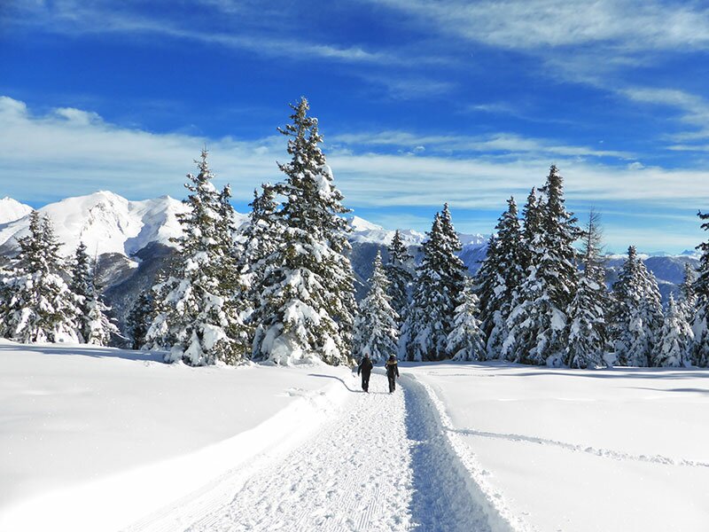
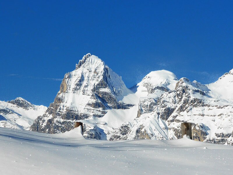
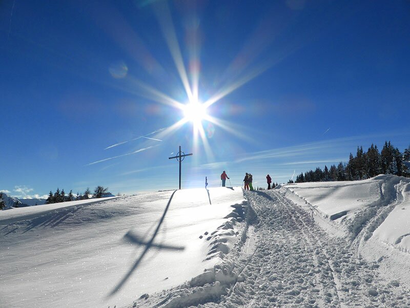
Now we proceed the way up on a wide and groomed path, after a curve the view to the mighty Fleres Tribulaun and the other peaks of the Val di Fleres valley opens up. We continue across the winter landscape to the cross at the Flaner Jöchl, the highest point of this round tour.
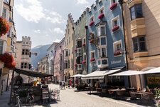
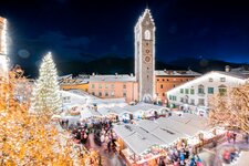
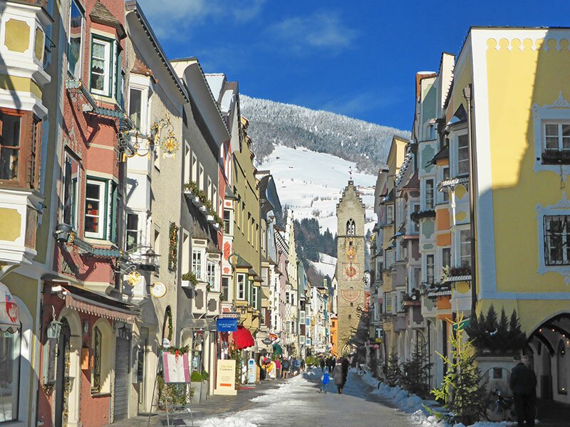
This is where in summer, there is the so-called Kastellacke, a little pond. From this place, it is only a stone's throw to the Sterzinger Haus panorama restaurant, a short walk away from the mountain station of the Monte Cavallo (Rosskopf). To top off our day, we visit the Vipiteno Christmas Market.
Author: AT
Experienced: January 2014
Last update: 2025
-
- Starting point:
- mountain station Monte Cavallo, Vipiteno
-
- Overall time:
- 01:45 h
-
- Total route length:
- 5,4 km
-
- Altitude:
- from 1.821 m to 1.919 m
-
- Altitude difference (uphill | downhill):
- +133 m | -133 m
-
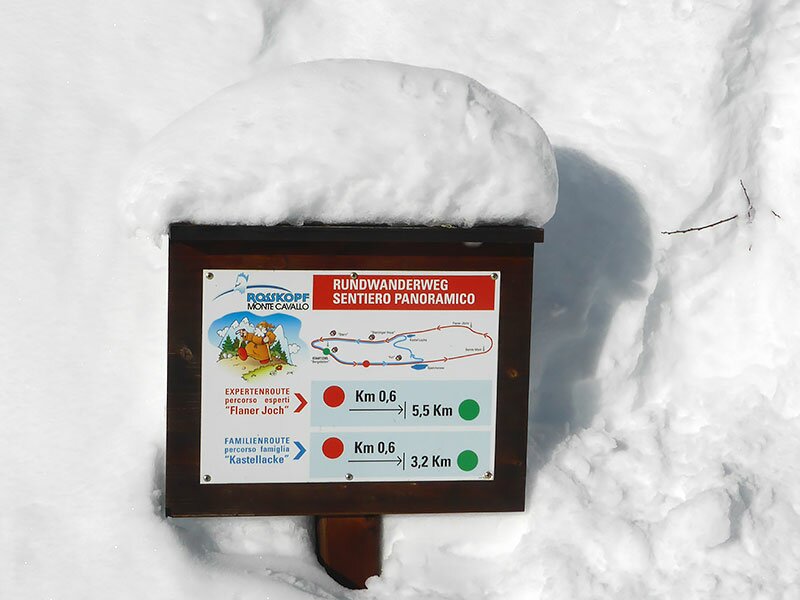
- Signposts:
- "Rundweg Flaner Jöchl"
-
- Resting points:
- Roßstodl (cable car mountain station), Sterzingerhaus, Furl Hütte
-
- Recommended time of year:
- Jan Feb Mar Apr May Jun Jul Aug Sep Oct Nov Dec
-
- Download GPX track:
- Winter hike on the Flaner Jöchl
If you want to undertake this hike, we recommend checking the weather and trail conditions in advance and on site before starting this hike!