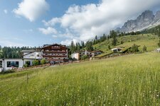
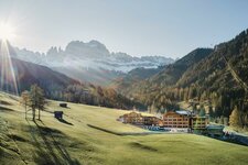
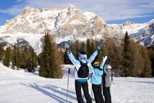
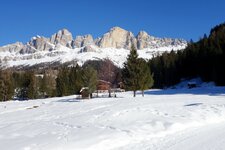
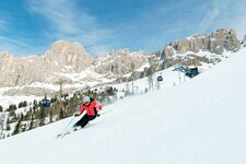
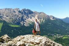
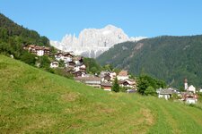
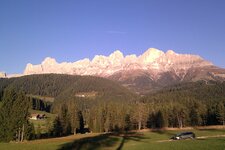
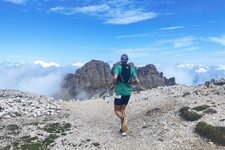
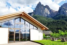
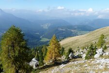
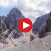
The Catinaccio Group is a 8 km long massif, located between Mt. Sciliar in the north and the Passo di Costalunga in the south
Image gallery: Catinaccio Group

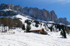
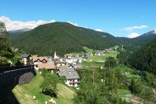
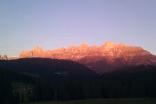
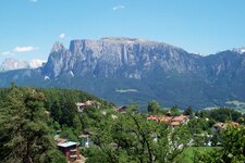
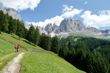
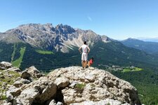
The Catinaccio Group is located between the village of Tires al Catinaccio in South Tyrol and the Val di Fassa valley in the Trentino. According to the legend of King Laurin, the German name "Rosengarten" (rose garden) for this mountain range derives from a garden sheeted with roses. Also the natural fenomenon of the Enrosadira, when the peaks shine in bright red colours in the twilight, has its origin in this beautiful legend. Linguists, however, claim that "Catinaccio" derives from the Ladin word "ciadinàc", which means coarse gravel. Its highest summit is Mt. Catinaccio d'Antermoia or Kesselkogel, a 3,004 m high giant, which can be scaled via fixed rope route. It was C. Comyn Tucker and T.H. Carson from Great Britain to make the first ascent in 1873.
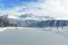
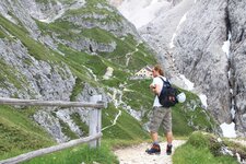
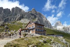
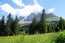
However, the main summit is the slightly lower Cima Catinaccio (2,981 m a.s.l.). Other popular peaks are the Vajolet Pinnacles, the Cima Vajolet (2,749 m a.s.l.) and the Cima Sforcella (2,810 m a.s.l.), Mt. Croda di Re Laurino (2,813 m a.s.l.) and Mt. Roda di Vaèl (2,806 m a.s.l.), Mt. Croda dei Davoi (2,727 m a.s.l.) and Mt. Masaré (2,611 m a.s.l.). Numerous fixed-rope routes have been established in the Catinaccio Massif such as the Catinaccio d'Antermoia, Laurenzi, Santner and Masaré Routes. Furthermore, there are several less challenging tours such as the hike to the Haniger and Plafötsch Huts and the unforgettable mountain tour around the Catinaccio. The mighty Catinaccio serves as the background for Lake Carezza, in winter for the Ski Area Carezza.