An alpine hike in the realm of King Laurin: once around the 3,000-metre-high Catinaccio peak
Image gallery: Mountain tour around the Catinaccio
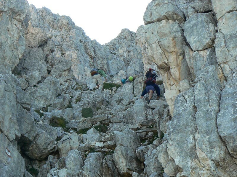
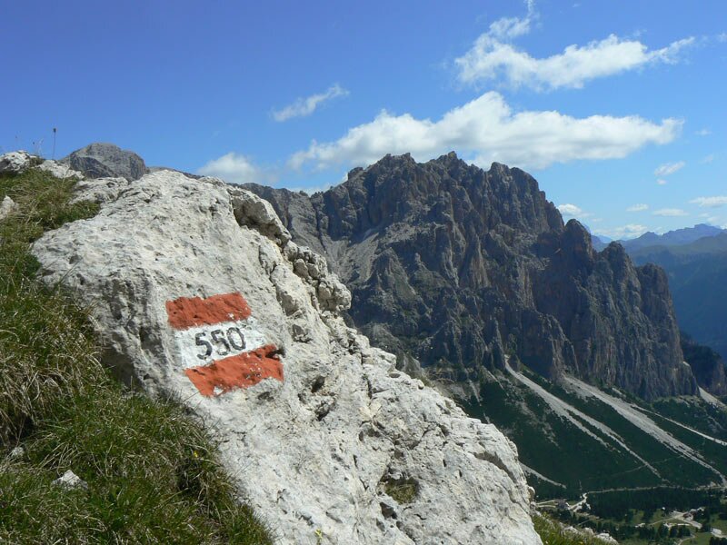
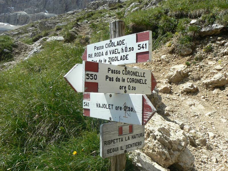
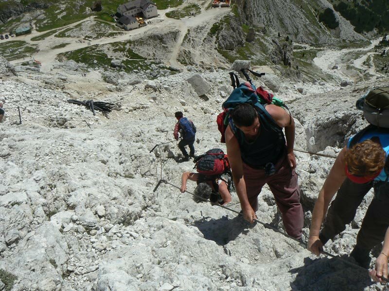
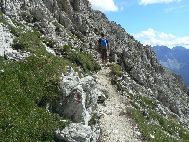
The weather is glorious, and not a single cloud dulls the sky. So, we set off on our hike around the Catinaccio peak. We start from the top station of the Laurin Lift near the Nigra Pass, heading up to the Fronza alle Coronelle Hut (Kölner Hütte) at an altitude of 2,337 metres. Following path no. 550, we reach the "Pas de le Coronele" pass at 2,630 metres above sea level. This ascent already features a few sections with fixed cables, and it puts our fitness to the test.
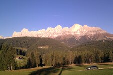
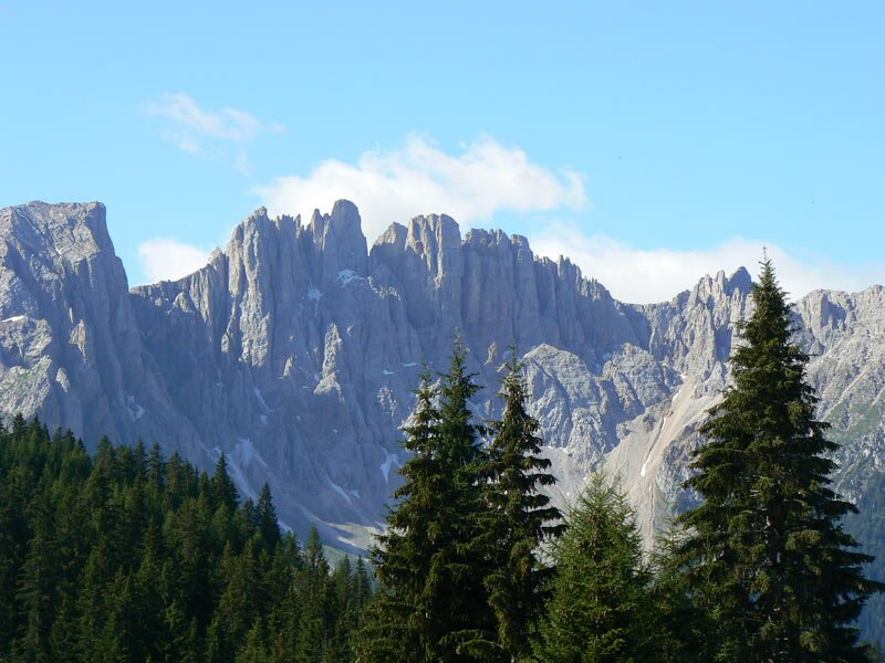
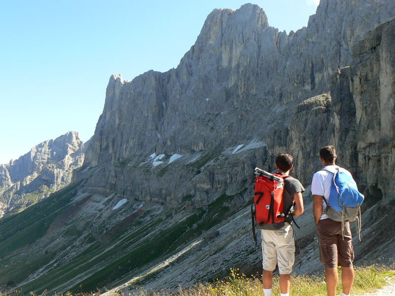
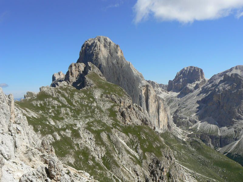
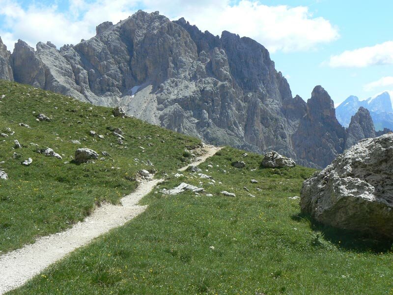
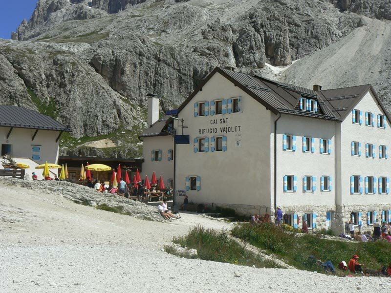
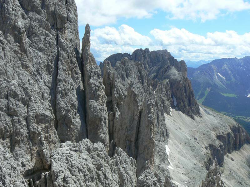
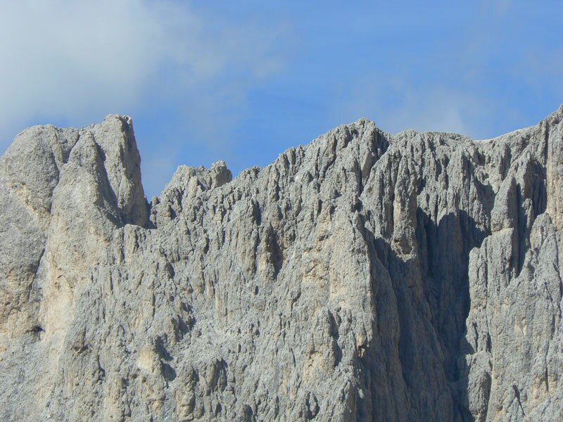
Once at the top, the view of the Roda di Vaèl, the Catinaccio, and the Val di Fassa in Trentino makes us forget the effort. After a short break, we continue our journey and descend the steep slope to a crossroads. Here, we turn left onto path no. 541 towards the Vajolet Hut. We need 45 instead of the signposted 30 minutes. The route leads slightly below the southern face of the Catinaccio.
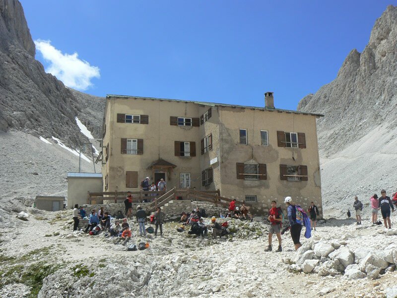
From the Vajolet Hut at an altitude of 2,254 metres, the path climbs steeply upwards. The Re Alberto Hut, located below the Vajolet Towers and the northern side of the Catinaccio, is our next destination. We scramble over steep rocks with fixed cables to reach this hut at 2,627 metres above sea level. It is time for a traditional "Brettljause" (a typical South Tyrolean cold cut platter) with Speck. There is a small lake right next to it, but we have not yet reached our highest point!
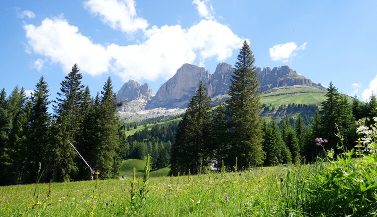
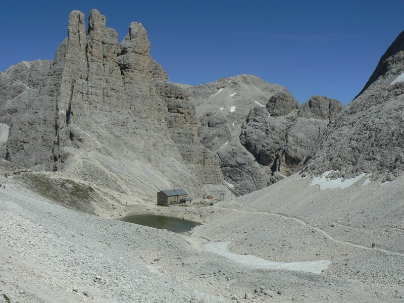
We follow gravel paths to the Passo Santner at 2,752 metres above sea level. The view from here is overwhelming. We can see the Sciliar, the Oetztal Alps, the Ortles, and the Latemar. Now, we only need to tackle the Santner Pass Via Ferrata to return to our starting point.
Author: ED
Experienced: June 2018
Last updated: 2026
-
- Starting point:
- Laurin Lift mountain station (2,180 m a.s.l.)
-
- Overall time:
- 03:35 h
-
- Total route length:
- 8,1 km
-
- Altitude:
- from 2.180 m to 2.752 m
-
- Altitude difference (uphill | downhill):
- +1041 m | -1041 m
-
- Route:
- Fronza alle Coronelle Hut - Pas de le Coronele - Vajolet Hut - Re Alberto Hut - Passo Santner - Passo Santner Via Ferrata - Fronza alle Coronelle Hut
-
- Signposts:
- no. 550, 541, 542, "Via Ferrata Santner"
-
- Destination:
- Passo Santner (2,752 m a.s.l.)
-
- Resting points:
- Fronza alle Coronelle Hut, Vajolet Hut (both from June to October)
-
- Recommended time of year:
- Jan Feb Mar Apr May Jun Jul Aug Sep Oct Nov Dec
-
- Download GPX track:
- Mountain tour around the Catinaccio
-
- More information:
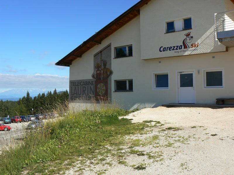
- The overall time shown above refers to the walking time only, not including breaks or stops. The car park at the Laurin Lift has plenty of space. Those who wish can also walk the first section up to the top station of the lift.
We highly recommend checking the weather and trail conditions in advance and on site before starting this tour.