A gentle walk through the woods in the upper Val d’Ega to the Häusler Sam mountain inn
Image gallery: Hike from Obereggen to the Häusler Sam
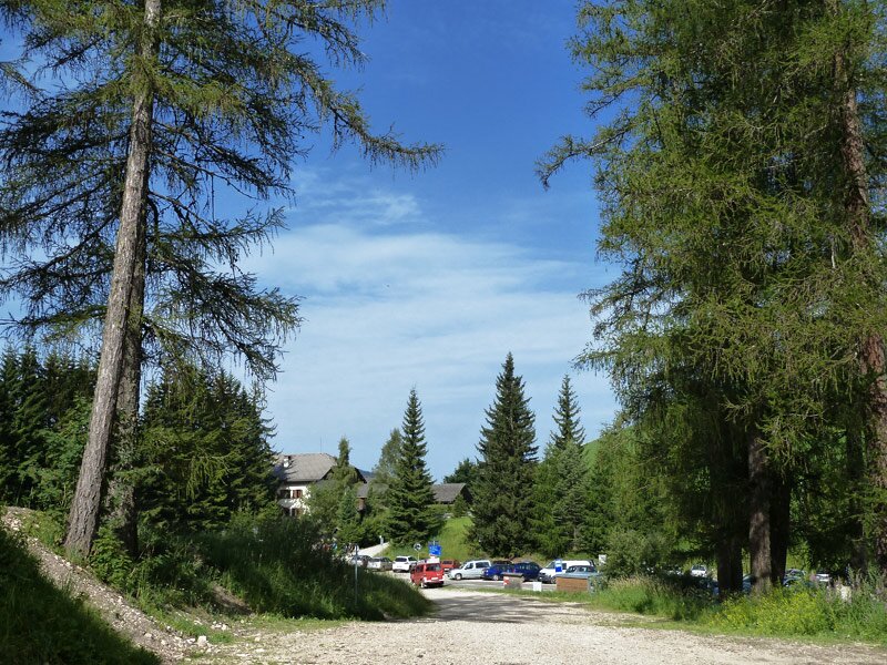
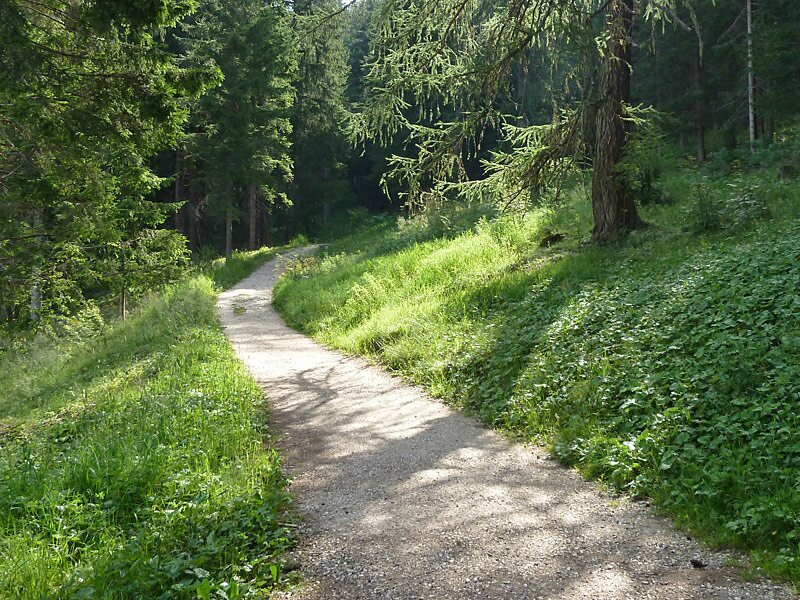
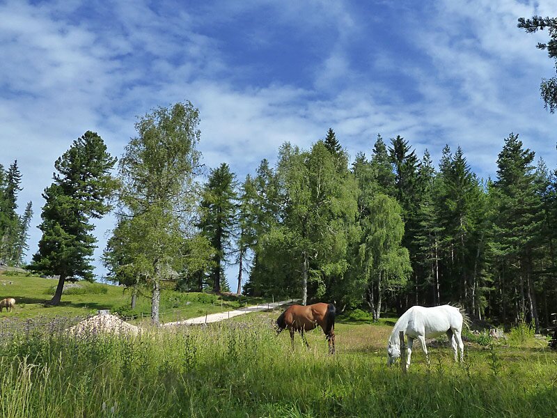
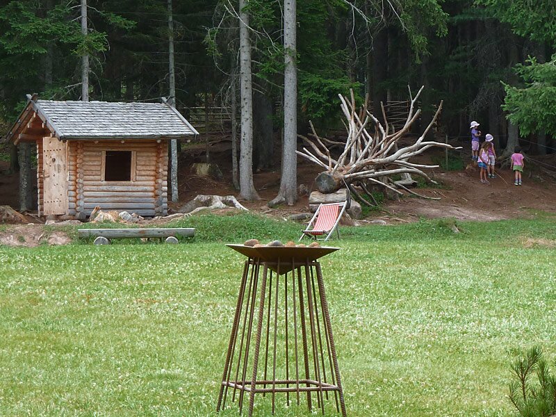
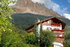
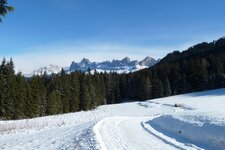
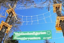
This forest walk is a good tip for anyone who is not a keen hiker or mountaineer, or who simply wants to enjoy a relaxing day out. The route starts at the car park just north of Obereggen. The settlement is well-known because it features a high ropes course in summer and serves as the gateway to the Latemar Dolomites Skiing Area in winter.
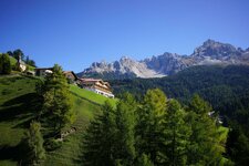
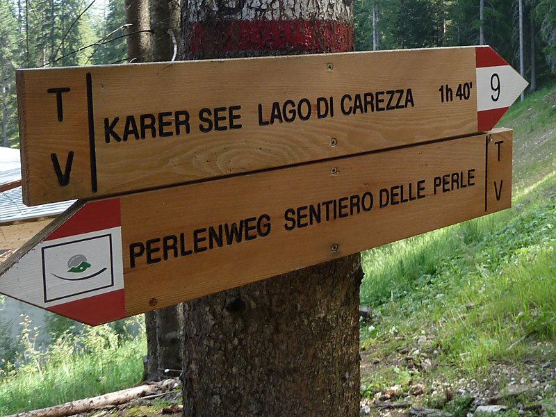
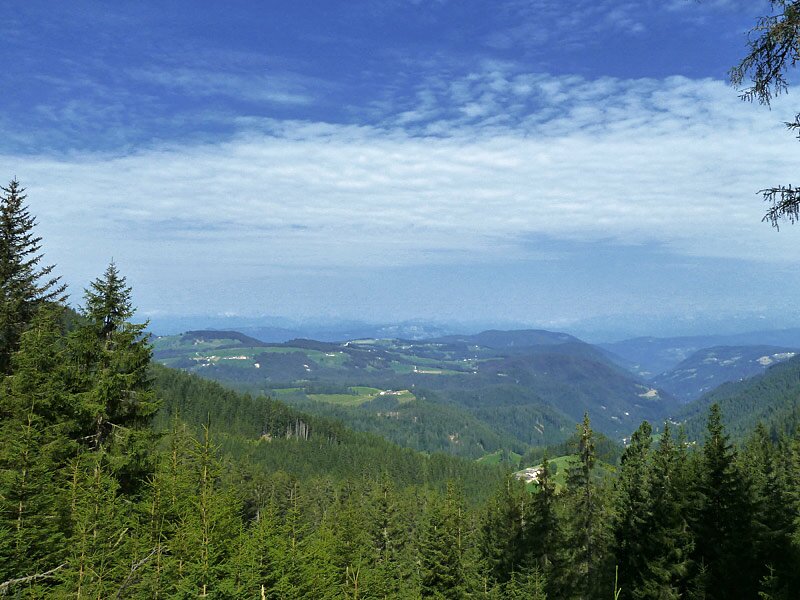
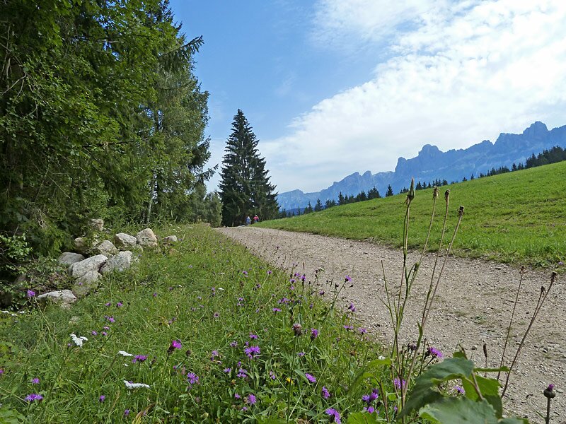
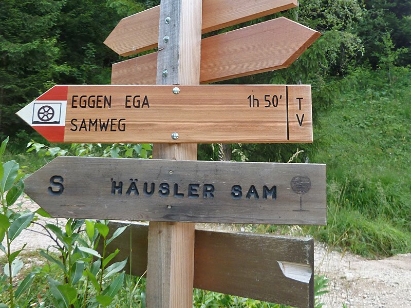
Initially following path no. 9 towards Carezza and then no. 8 to the Häusler Sam, the route covers a small elevation gain on wide, clearly marked paths. It leads through the woodland and meadows at the foot of the imposing Latemar Group. The walk to the destination takes less than an hour.
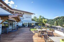
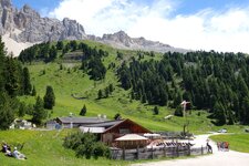
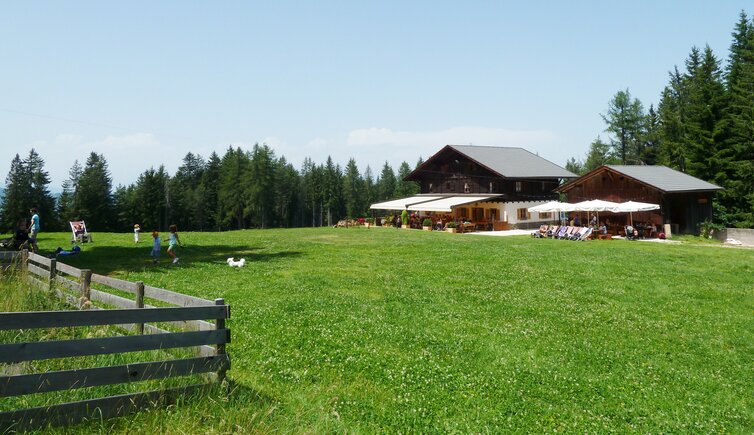
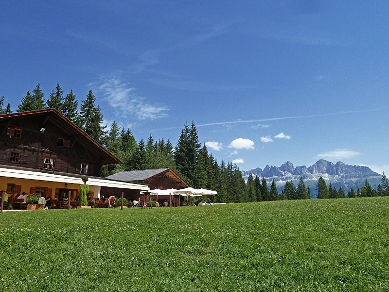
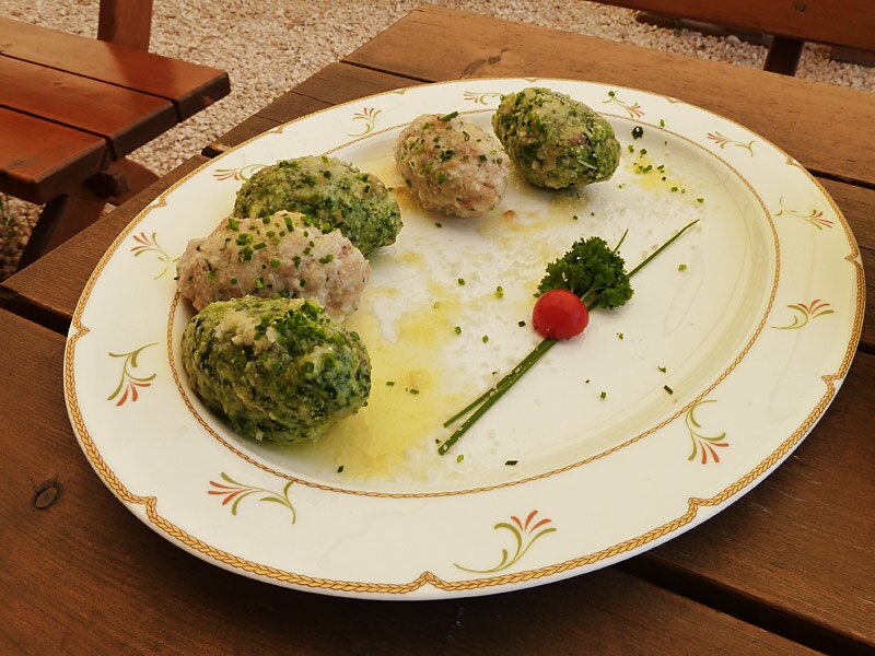
The Häusler Sam mountain inn serves traditional cuisine, features a lovely meadow for sunbathing, and provides play facilities for children on the edge of the forest. Afterwards, we follow the same path back to Obereggen. This simple loop is also pleasant and inspiring as a winter walk. The hut remains open during the colder months, providing an enjoyable alternative to a day on the skis.
Author: AT
Experienced: August 2013
Last updated: 2026
-
- Starting point:
- parking space north in Obereggen (1,492 m a.s.l.)
-
- Overall time:
- 02:15 h
-
- Total route length:
- 7,9 km
-
- Altitude:
- from 1.492 m to 1.610 m
-
- Altitude difference (uphill | downhill):
- +242 m | -242 m
-
- Signposts:
- no. 9, 8
-
- Destination:
- Häusler Sam mountain inn (1,610 m a.s.l.)
-
- Resting points:
- Häusler Sam mountain inn (May to October, skiing season)
-
- Recommended time of year:
- Jan Feb Mar Apr May Jun Jul Aug Sep Oct Nov Dec
-
- Download GPX track:
- Hike from Obereggen to the Häusler Sam
-
- More information:
- The overall time shown above refers to the walking time only, not including breaks or stops.
If you want to undertake this hike, we recommend checking the weather and trail conditions in advance and on site before starting this hike!