DiYou can discover the high alpine environment of the Dolomites between Obereggen and Pampeago on this hike
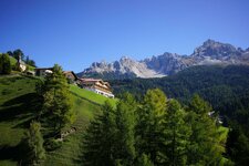
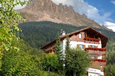
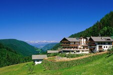
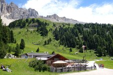
Image gallery: Hike on the southern slope of Mt. Latemar

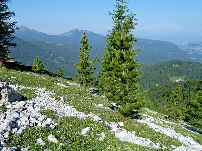
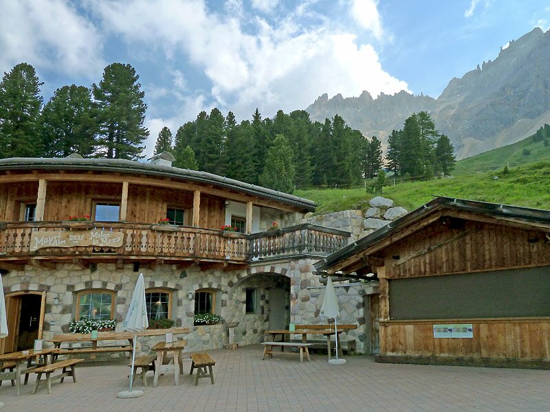
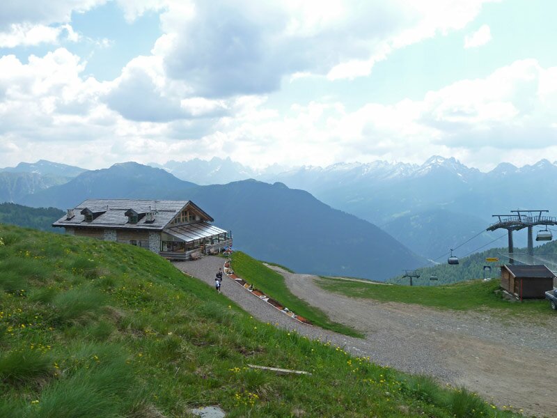
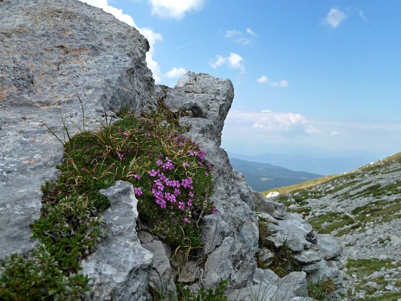
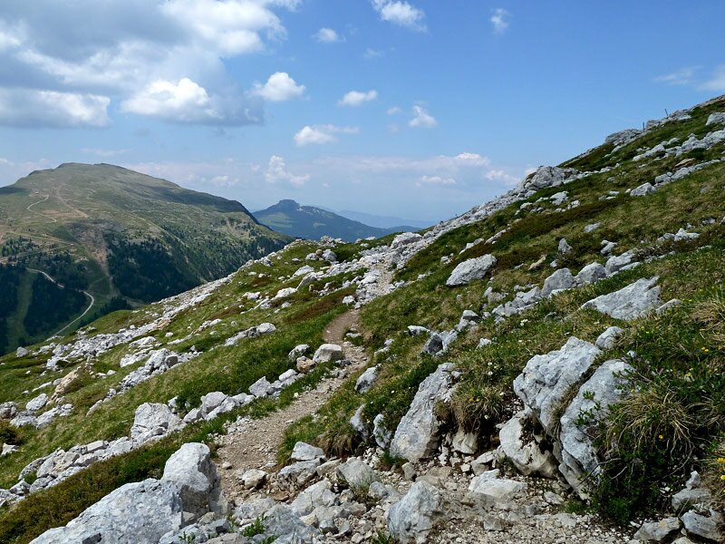

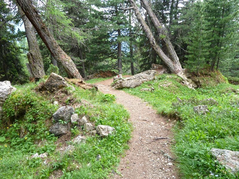

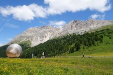
On an early summer day, we decide to explore the Latemar. From Obereggen, the Oberholz Chairlift takes us up to the tree line at 2,000 metres, where we join path number 23 towards the Mayrl Hut. The high alpine flora is in full bloom and continually surprises us. At the edge of the forest, the path crosses rocky debris, weaves through the highest stone pines, and leads across meadows. After a break at the alpine hut, we continue to the Pampeago Pass.
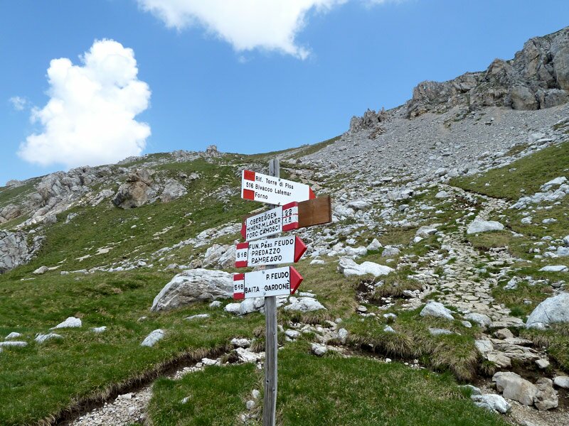
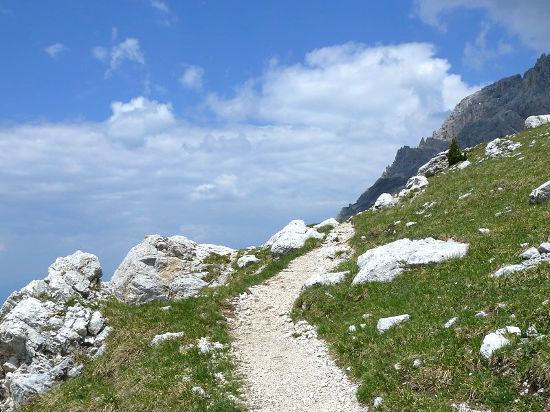
Also known as the Reiterjoch, this pass is a crossroads. Here, we follow path number 505 to the Ganischger Hut and Zischg Hut. The first proper ascent begins here: We take path number 521, signposted as the "Geotrail Dos Capèl". Created in the 1970s, it is Italy's first geological theme trail.
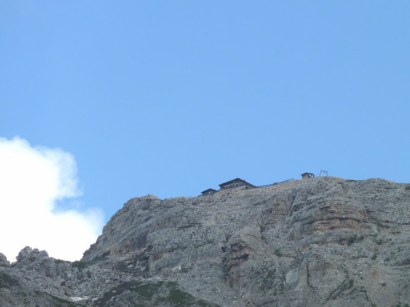
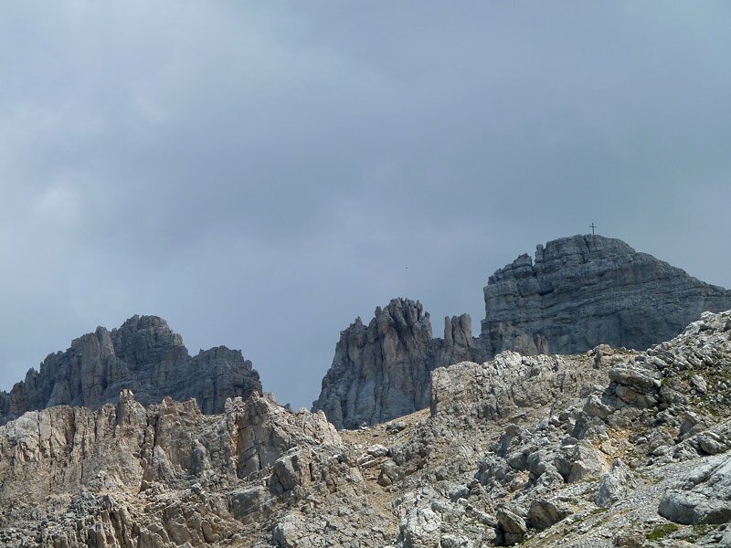
The route crosses the provincial border into Trentino, bringing us to the Passo Feudo, where the lifts from the Val di Fiemme arrive. The path winds higher still: We follow no. 516 until the junction with no. 22. Looking up, we see the Torre di Pisa Hut, but clouds are gathering, so we decide against heading there today. Path no. 22 leads us back to Oberholz - a wise decision, as the first raindrops begin to fall. However, looking towards Pampeago, the slopes are still bathed in sunlight.
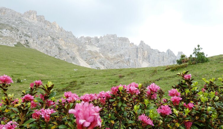
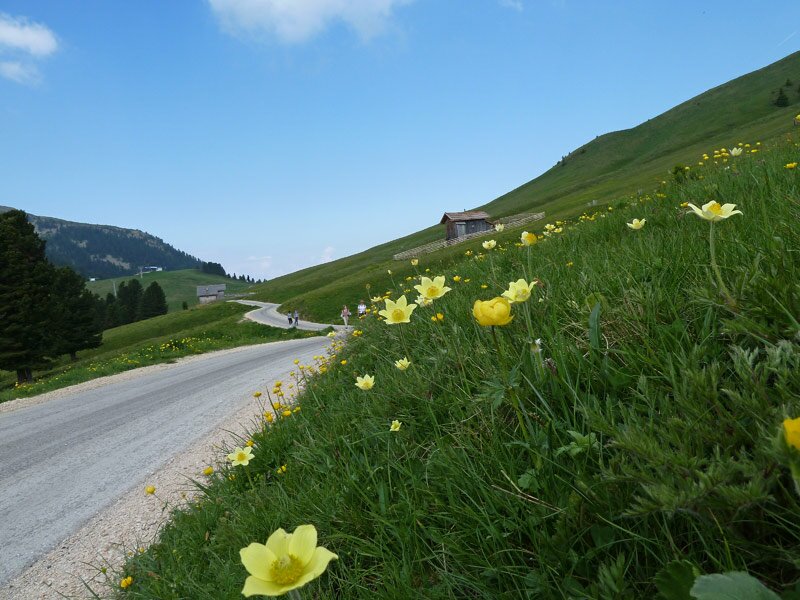
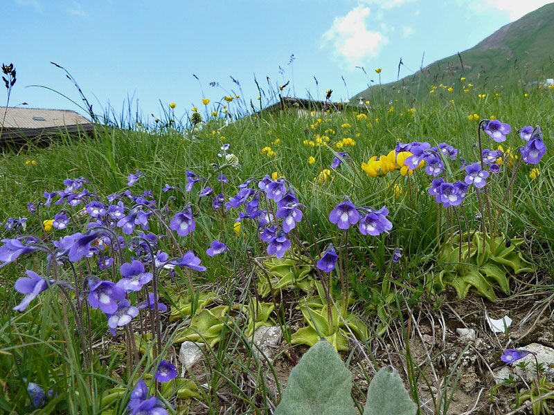
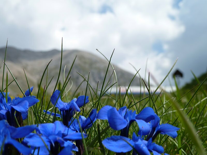
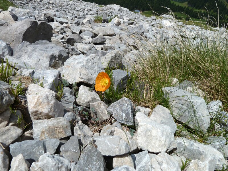
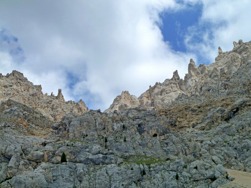
The flora is the main draw in June, with a wealth of rare alpine flowers blooming at this altitude. The "Latemar Dolls" - the unusually shaped rock pinnacles of the Dolomites - also make an excellent subject for photographs.
Note: For several years, the latemar.panorama, latemar.natura, and latemar.alp stations of the Latemarium experience have been located along this route.
Author: AT
Experienced: June 2010
Last updated: 2026
-
- Starting point:
- Oberholz mountain station, Obereggen (2,096 m a.s.l.)
-
- Overall time:
- 02:30 h
-
- Total route length:
- 8,3 km
-
- Altitude:
- from 1.913 m to 2.335 m
-
- Altitude difference (uphill | downhill):
- +425 m | -425 m
-
- Signposts:
- no. 23, 521 (Sentiero geologico Dos Capel), 516, 22
-
- Resting points:
- Oberholz Hut, Mayrl Hut, Ganischger Hut, Zischg Hut (all from June to October), Passo Feudo Hut (June to September)
-
- Recommended time of year:
- Jan Feb Mar Apr May Jun Jul Aug Sep Oct Nov Dec
-
- Download GPX track:
- Hike on the southern slope of Mt. Latemar
-
- More information:
- The overall time shown above refers to the walking time only, not including breaks or stops.
If you want to undertake this hike, we recommend checking the weather and trail conditions in advance and on site before starting this hike!