This long but easy forest walk with a visit to an alpine pasture leads through the woods below Passo Nigra
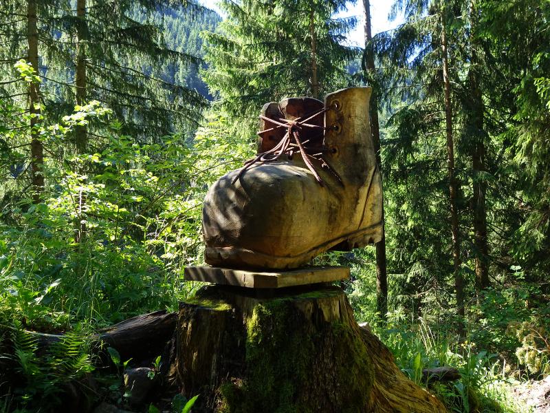
Image gallery: Circular hike to the Malga Hagner hut
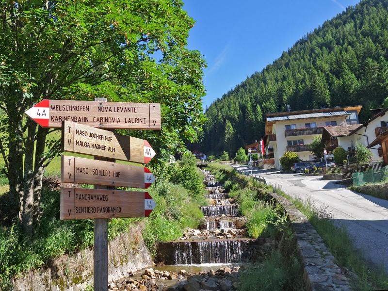
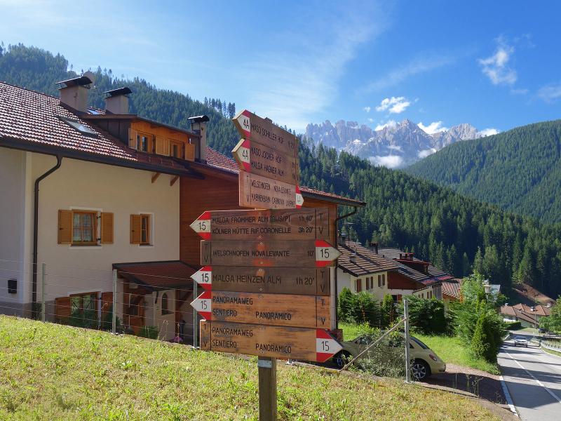
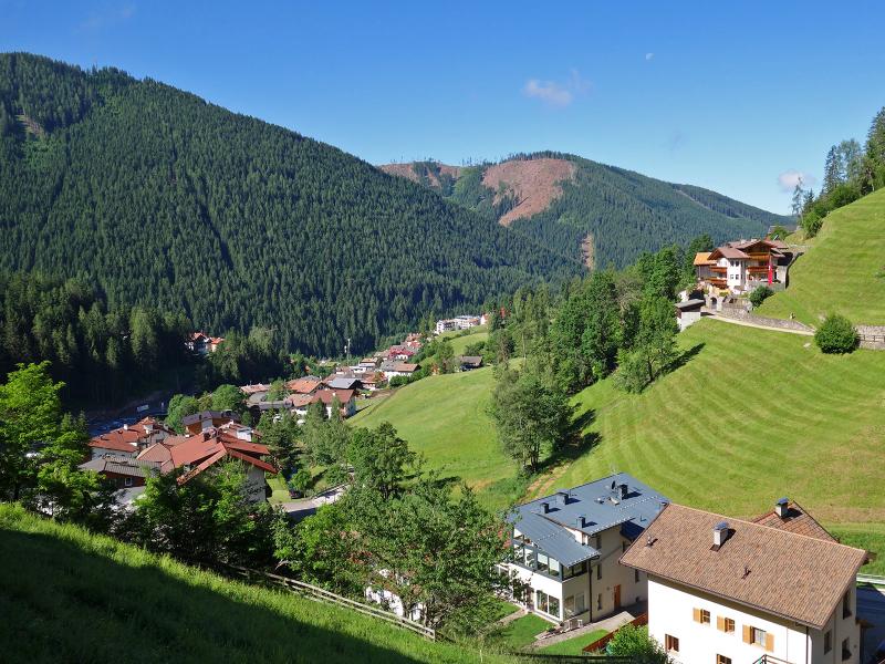
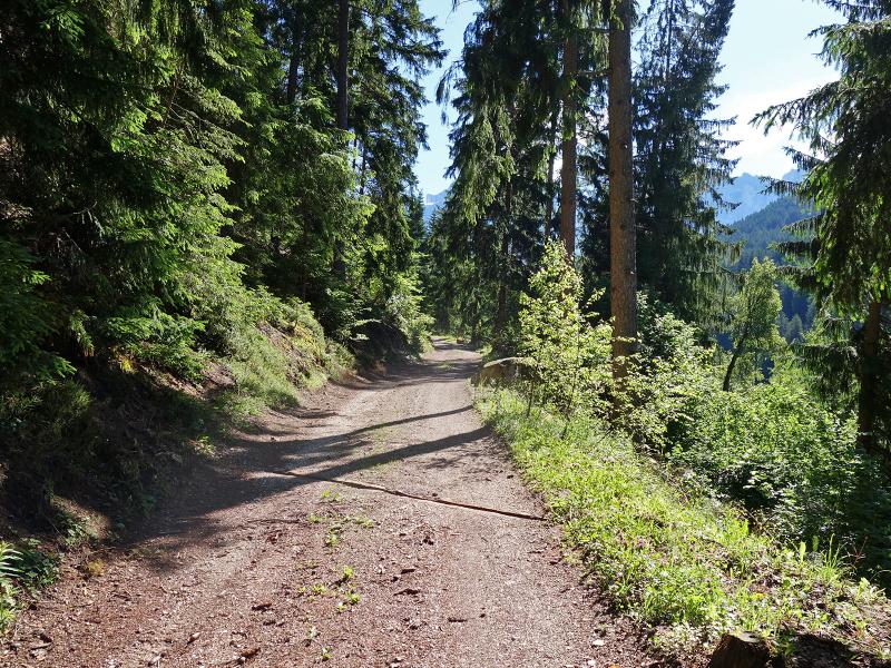
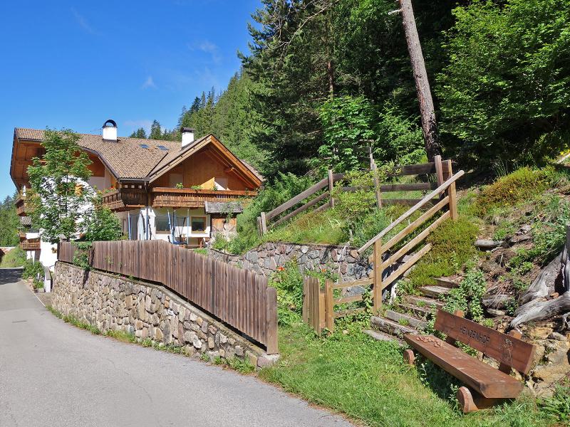
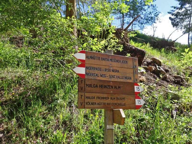
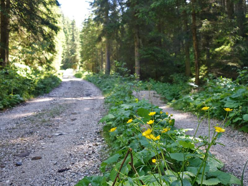
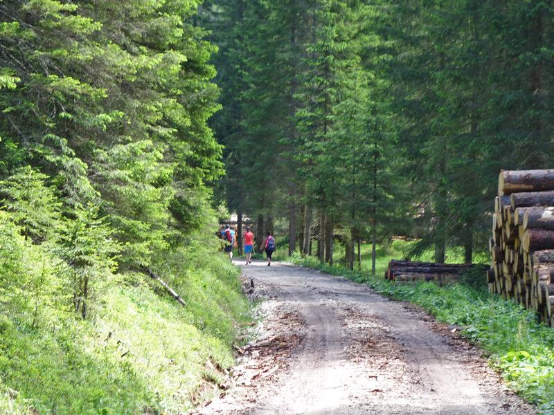
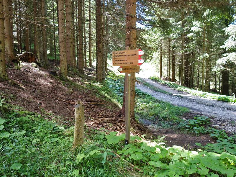
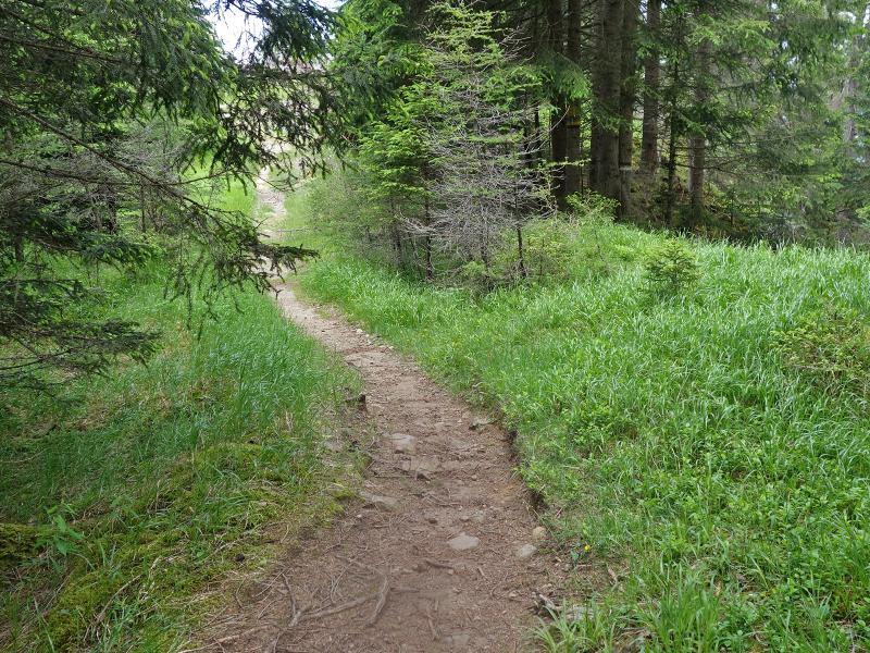
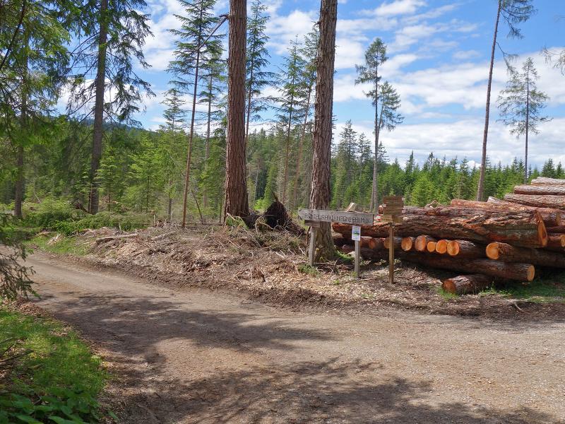
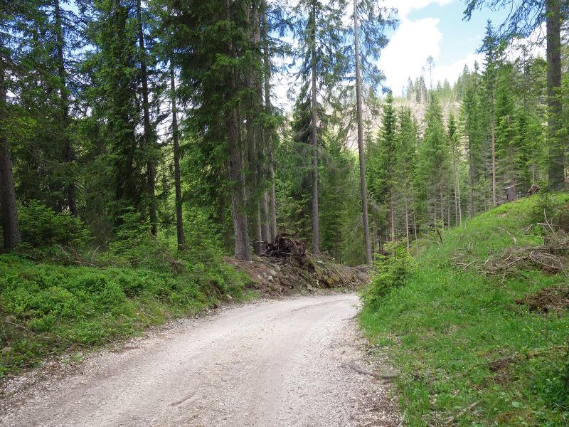
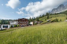
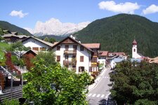
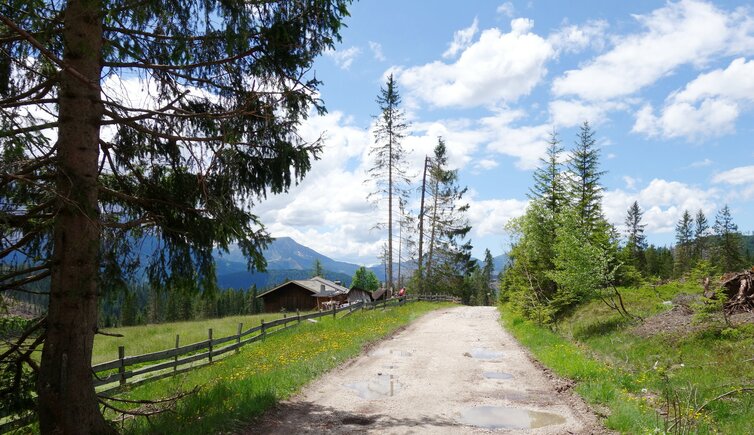
In the village of Nova Levante, we take the Via Hagner path and follow the Rio Hagner stream to the edge of the village, where we continue on the Vicolo Jocher alley. At the edge of the forest above the Val di Nigra valley, the forestry road leads us slightly uphill. Passing the Heinzenhof farm and Hotel Rosengarten, we follow the Nigra valley path (no. 15, then no. 4B), which winds its way to the alpine huts and the Sagerer Schwaige Hut (Schwaige means hut).
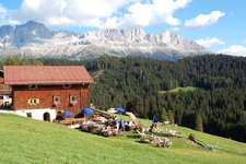
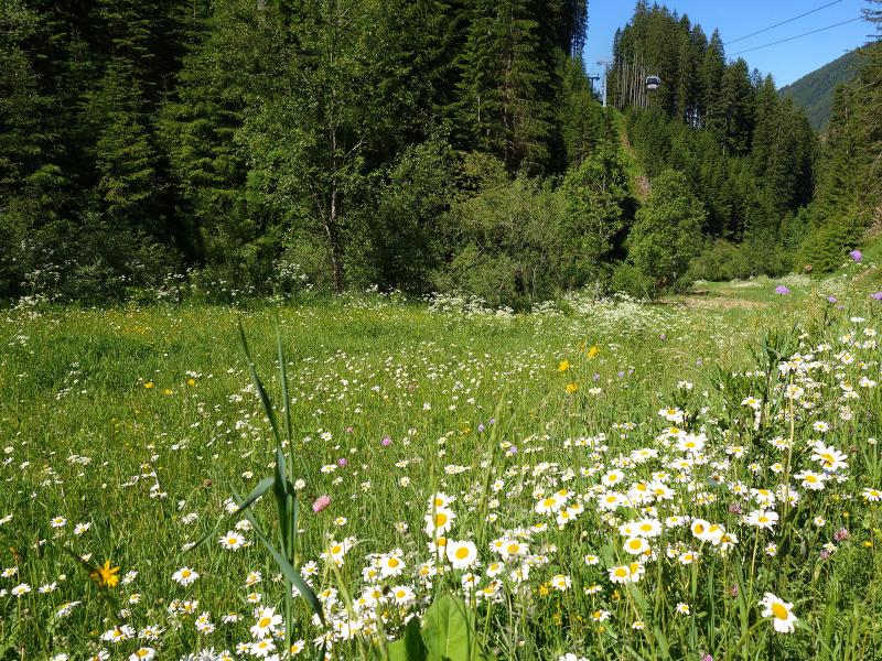
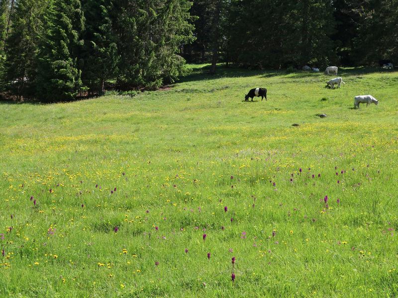
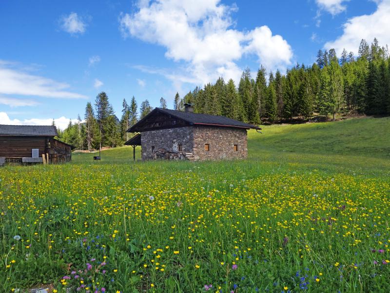
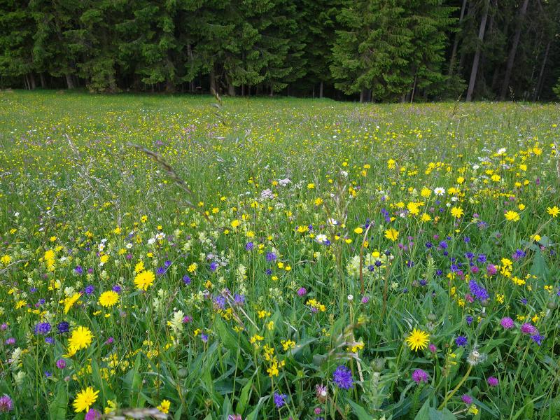
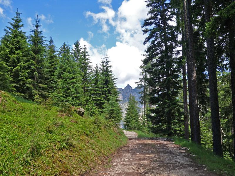
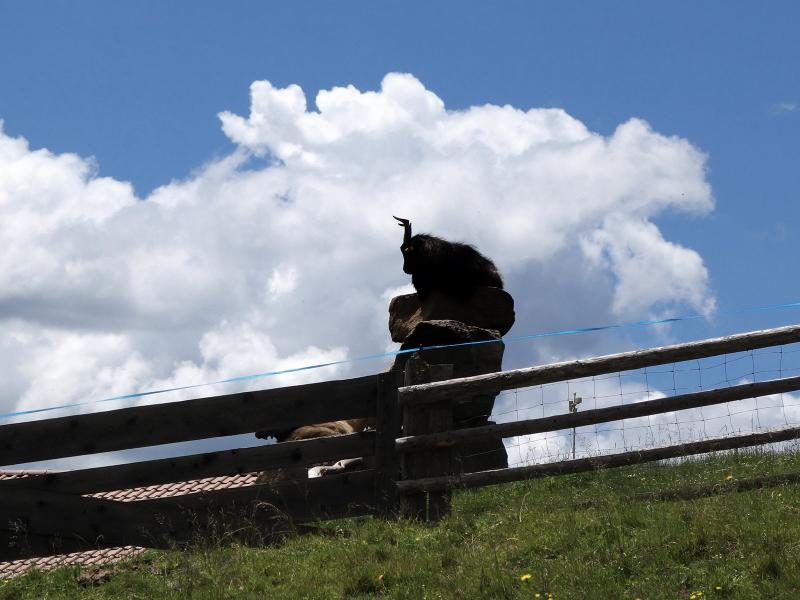
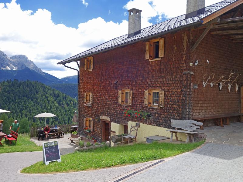
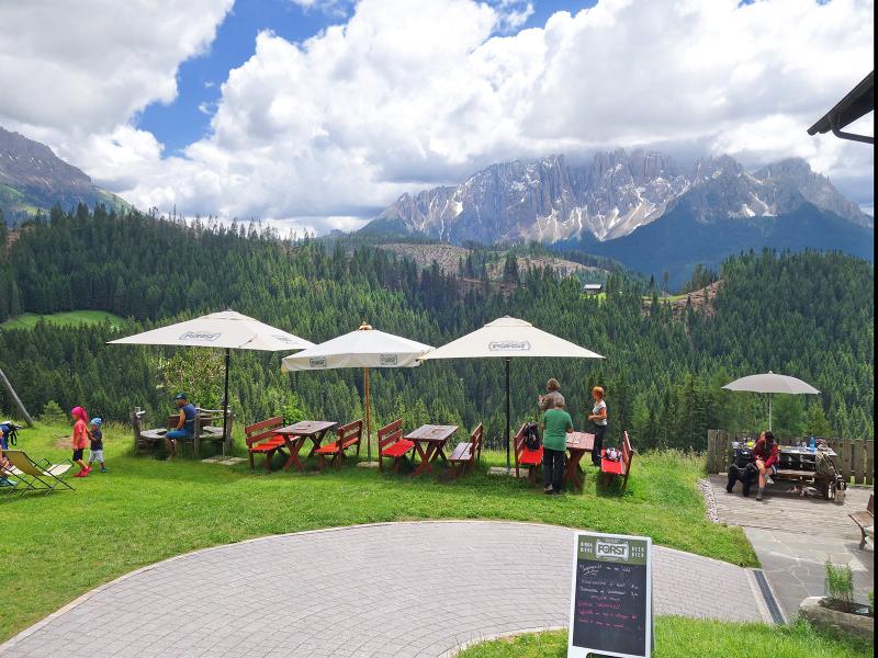
At this mountain hut, the path to the Buselineck branches off to the right. This 1,655-metre-high hill sits on the edge above the Valle di Tires. Where the trees thin out a little, we can look across to Sciliar. Path no. 1 leads from the Buselineck through the forest via the Kreinberger Schwaige Hut to the Hagner Hut at 1,550 metres above sea level. Here we find expansive meadows.
The view of the Latemar Group is impressive, and the alpine pasture also serves excellent food, including products from its own cheese dairy. The descent via path no. 4A then brings us directly down to Nova Levante in a short time along a partially tarmacked mountain road.
Author: AT
Experienced: June 2019
Last updated: 2026
-
- Starting point:
- Via Hagner road, Nova Levante
-
- Overall time:
- 04:00 h
-
- Total route length:
- 14,2 km
-
- Altitude:
- from 1.169 m to 1.667 m
-
- Altitude difference (uphill | downhill):
- +554 m | -554 m
-
- Route:
- Nova Levante - Vicolo Jocher alley - Busolineck - Hagner Hut - Nova Levante
-
- Signposts:
- no. 15, 4B, 1, 4A
-
- Destination:
- Hagner Hut
-
- Resting points:
- Hagner Hut (May to September)
-
- Recommended time of year:
- Jan Feb Mar Apr May Jun Jul Aug Sep Oct Nov Dec
-
- Download GPX track:
- Circular hike to the Malga Hagner hut
-
- More information:
- The overall time shown above refers to the walking time only, not including breaks or stops.
If you want to undertake this hike, we recommend checking the weather and trail conditions in advance and on site before starting this hike!