An easy hike requiring some stamina along the well-maintained trail network to the Laab, Capanna Nuova, and Belriposo mountain huts
Image gallery: Hike from Nova Ponente to the Malga Belriposo

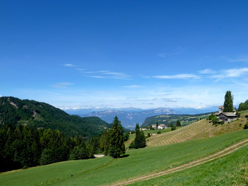
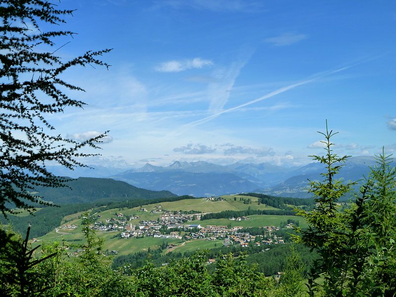
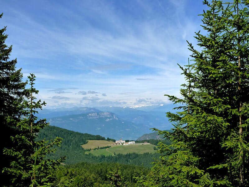

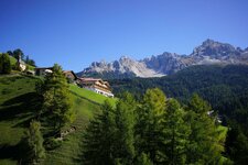
A good starting point for this hike is the car park on the Via Daum road near the Bar Arche, above Nova Ponente. From here, we want to discover the beautiful trails on the Monte Regolo. This gentle ridge between the Val d'Ega and Aldino in the south of South Tyrol is known and popular for its excellent paths and inviting mountain huts.
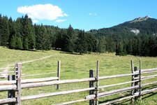
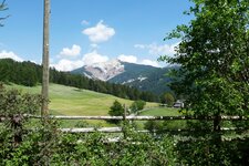
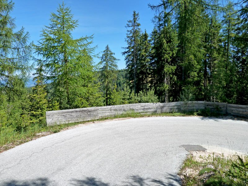
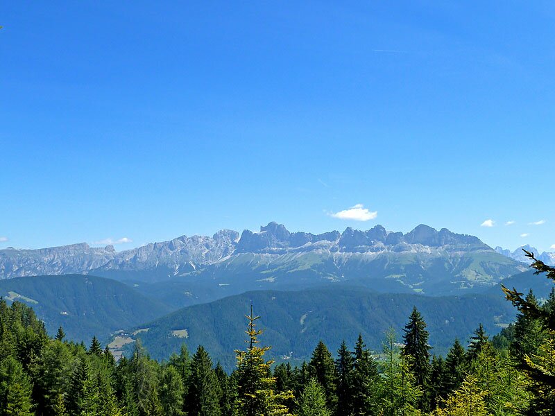
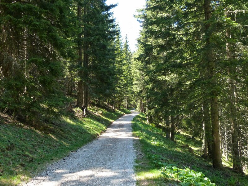
The first section towards the Laab Hut follows a small, asphalted road that initially leads through a wide meadow landscape, before climbing more steeply through the forest. From there, a gravel path (no. 1) leads us further to the Capanna Nuova Hut (Neuhütt). Along the way, we repeatedly enjoy the view of the Sciliar, Catinaccio, Latemar, Pala di Santa, and Corno Bianco.
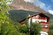
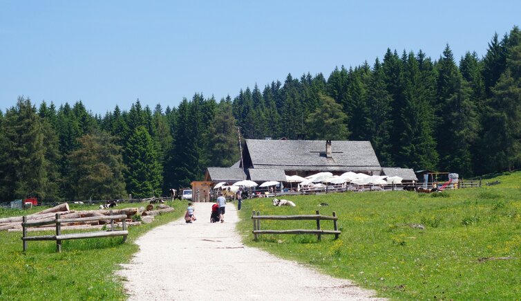
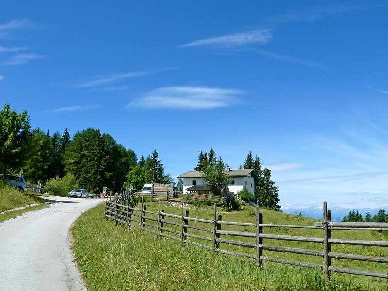
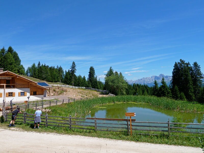
At the Capanna Nuova Hut, we follow path no. 2A to the Belriposo Hut (Schönrast), which is situated in a large clearing. A longer break is well worth it here! We then return via the same route and the same mountain huts. For other huts on the Regglberg - the Lahneralm and Schmieder Alm - there is an alternative and shorter hike that starts in Aldino, at the opposite end of the ridge.
Author: AT
Experienced: July 2010
Last updated: 2026
-
- Starting point:
- Nova Ponente (Bar Arche)
-
- Overall time:
- 05:30 h
-
- Total route length:
- 19,9 km
-
- Altitude:
- from 1.404 m to 1.785 m
-
- Altitude difference (uphill | downhill):
- +546 m | -546 m
-
- Signposts:
- no. 1, 1B, 1, 2A, 15
-
- Destination:
- Belriposo Hut (1,700 m a.s.l.)
-
- Resting points:
- Capanna Nuova Hut (May to October), Laab Hut, Belriposo Hut (all year round)
-
- Recommended time of year:
- Jan Feb Mar Apr May Jun Jul Aug Sep Oct Nov Dec
-
- Download GPX track:
- Hike from Nova Ponente to the Malga Belriposo
-
- More information:
- The overall time shown above refers to the walking time only, not including breaks or stops.
If you want to undertake this hike, we recommend checking the weather and trail conditions in advance and on site before starting this hike!