The second highest peak in the Oetztal Alps - after Mt. Wildspitze with its 3,768 m a.s.l. - is Mt. Palla Bianca which is only 30 m lower
Image gallery: Palla Bianca
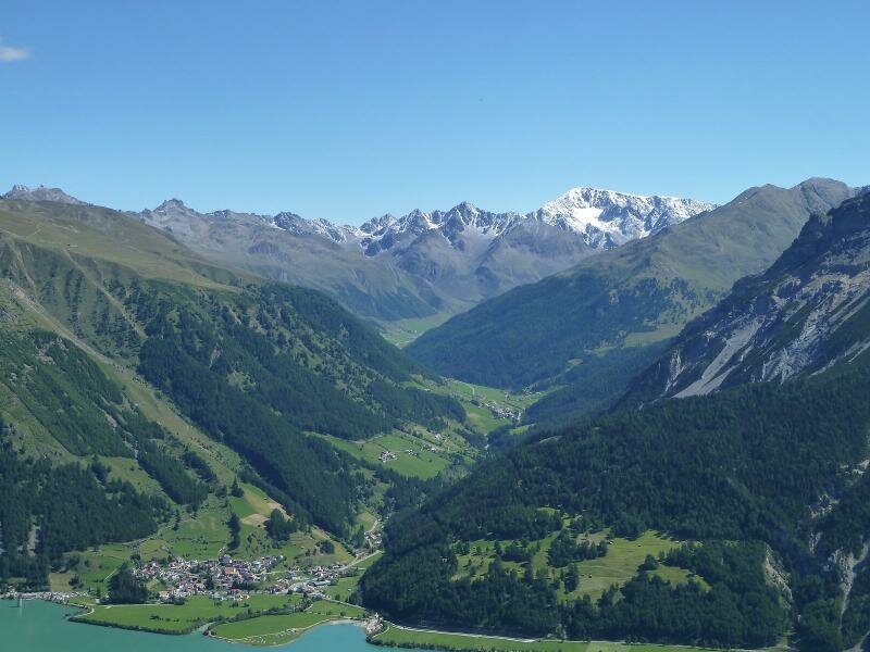
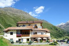
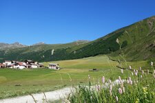
Mt. Palla Bianca or Weisskugel (literally White Sphere) is located at the border between South Tyrol and North Tyrol and therefore between Italy and Austria. It is surrounded by glaciers, like the Hintereisferner, the Val di Mazia Glacier and the Vallelunga Glacier. The nearest village is Melago in Vallelunga near the Resia Pass, about 7 km away (beeline). Mt. Palla Bianca was climbed for the first time in the middle of the 19th century by Johann Gurschler and Josef Weitthalm, both from the South Tyrolean Val Senales valley. Also Archduke John of Austria was that impressed by the mountain, that he put his experience down in writing in 1846 after his hike at the Hochjoch saddle.
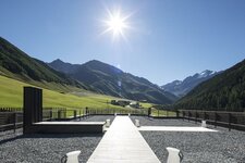
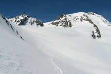
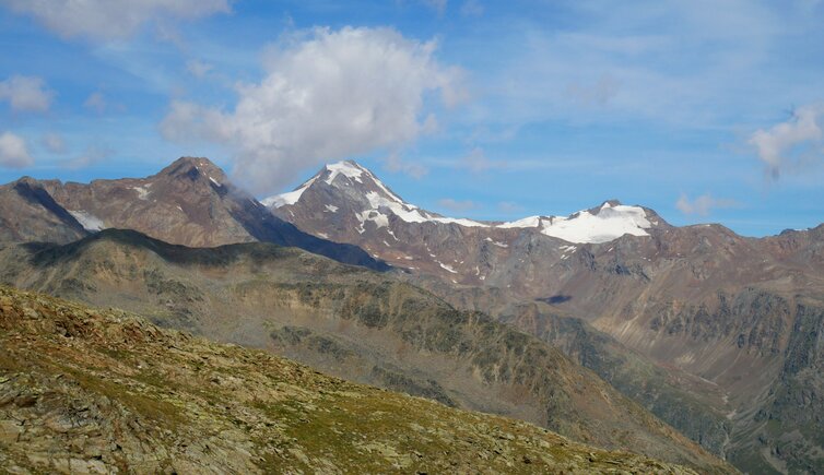
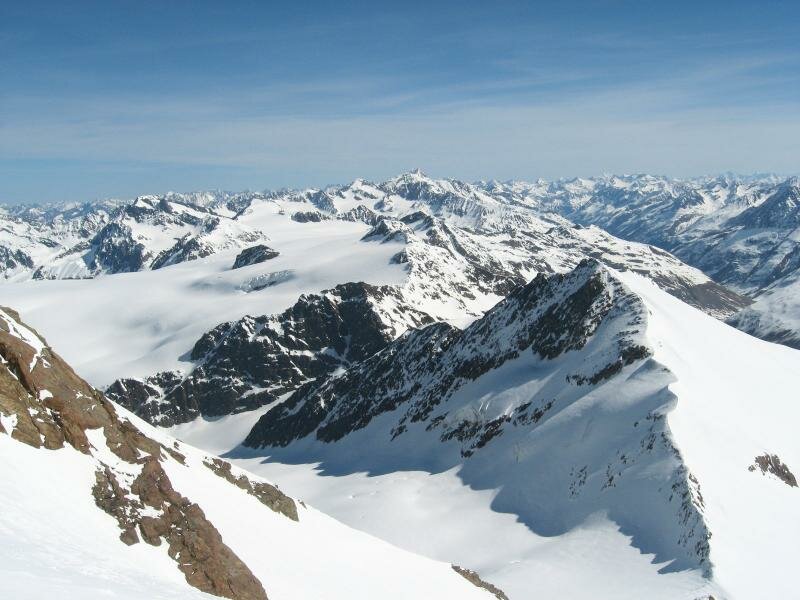
Nowadays the normal path proceeds from the Hintereisjoch saddle via the south ridge up to the 3,738 m high summit. The panoramic view from the summit is simply breathtaking and enormous: from the Bernese Alps and parts of the Pennine Alps in the west, across the Glarus Alps, Rhaetian Alps and the Bernina Range until the Ortles Alps and the Dolomites in South Tyrol, the Brenta Group in the Trentino and Mt. Grossglockner in East Tyrol, the "King of the Eastern Alps". The tours in this area are fascinating and include the hike along the Vallelunga Glacier Education Path, accessible only in high summer, and the ski tour to Mount Palla Bianca during the winter months.