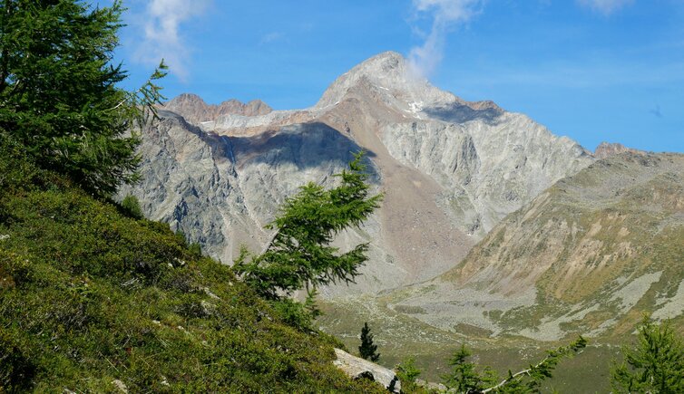
The 3,433 m high Punta Saldura in the southern Oetztal Alps, a popular mountain by ski tourers, is also known as Mt. Salurnspitze
Image gallery: Punta Saldura

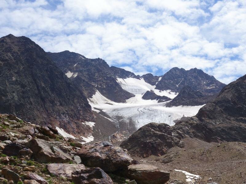
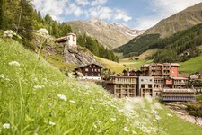
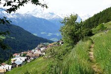
In the Saldura Ridge, a subgroup of the southern Oetztal Alps, the Punta Saldura or Saldurspitze is located. With the 5 metres higher Cima di Lagaun, the mountain forms a double peak. Mt. Punta Saldura and the other mountains of the Saldura Ridge are surrounded by the "Mountaineering Village" of Mazia in the west and by the Val Senales in the east: Maso Corto is 4 km away (beeline) from the peak. Already in 1853, it was climbed for the first time in the context of land surveying. 20 years later, the first alpinists were hiking to the peak. Despite of its wonderful panoramic view, it is an unfrequented mountain, because there are no mountain huts and villages in the proximity.
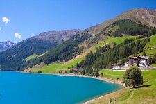
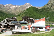
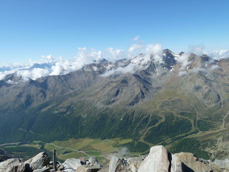
The normal path proceeds from Maso Corto in the Val Senales valley via the Lazaun Alp and then via the north ridge up to the summit (5 hours walking time). A beautiful mountain tour is the one to the Saldura Lakes in the Upper Val di Mazia, a lake district beneath the glaciated peaks of the Saldura Ridge. On the way there you pass the Saldura Grounds, a very scenic high alpine rocky landscape with meadows. The lake district can be reached within approx. 3.5 hours.